Parking
Use the signed Goat Lick Overlook parking lot along U.S. 2. A seasonal restroom is listed at the trailhead; drinking water is not available.
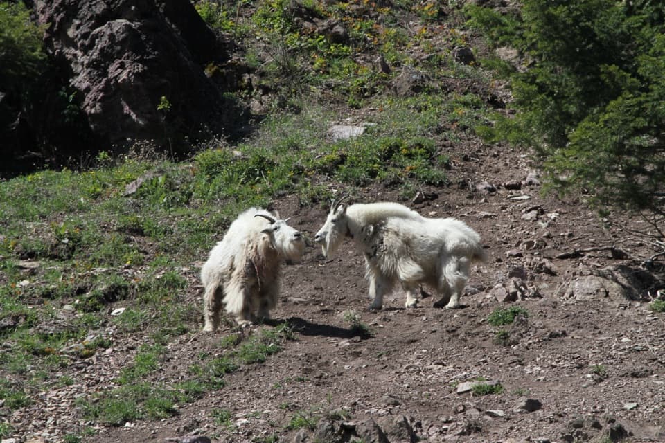
Glacier National Park, MT
A short paved walk to mountain-goat country above the river.
Overview
Map & elevation
Plan your hike

The highest, rockiest slopes around here are a summer buffet for grizzly bears.
Glacier Tour Guide
Parkwolf is a GPS audio tour guide for Glacier National Park. As you drive, it chimes in with what’s ahead: hidden gems, upcoming stops, history, geology, and wildlife, right through your car’s speakers.
See the Glacier audio tourRecorded for this trailhead
Goat Lick Overlook“Goat Lick Overlook is coming up, where mountain goats visit an exposed bank above the Middle Fork Flathead River. They’re drawn to minerals in the gray clay, so scan the opposite slope rather than just the skyline.”
Plays as you drive up to this trailhead in the Parkwolf Glacier Tour Guide.
More stories near here in the app
“Our first time to glacier and we used the audio portion for Going to the Sun Road. Wonderful information with perfect advice of what to see and do along the road.”


Trail guide
Goat Lick Overlook Trail is an easy, 0.2-mile out-and-back from the signed lot on U.S. 2 to views above the Middle Fork Flathead River. The path is smooth, gently sloped pavement; allow 10 to 30 minutes to walk and scan the opposite bank.
The National Park Service describes two short overlooks from this parking area, one facing the river and one facing the mineral seep. Each approach is about 500 feet one way. The mapped Goat Lick path follows the named paved route and returns along the same corridor; if you want both views, allow for the second short approach too.
The name comes from a natural mineral seep that attracts mountain goats. The river view and rocky slope are the point of the stop, but a goat sighting is never guaranteed. From the viewing area, the riverbank and mineral cliffs make a good frame; stay behind the railings if wildlife appears.
Park at the signed Goat Lick Overlook lot. The restroom is seasonal, and there is no drinking water. Stay on the path and behind railings near the steep drop-offs. Keep at least 25 yards from mountain goats and 100 yards from bears. Pets may be in developed parking areas but aren't allowed on Glacier trails.
Wildlife
 404 sightingsGrizzly BearMost seen around 6 AMSighting map
 11 sightingsWolverineMost seen around 8 PMSighting map
 1,173 sightingsMountain GoatMost seen around 6 AMSighting map
 1,000 sightingsBighorn SheepMost seen around 6 AMSighting map
 395 sightingsMooseMost seen around 6 AMSighting map
 506 sightingsBlack BearMost seen around 8 PMSighting map
Sighting maps show where each species has been reported across Glacier. Wildlife moves, so no sighting is guaranteed.
Keep exploring
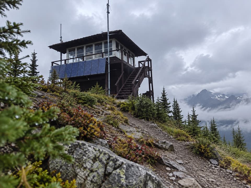 ChallengingScalplock Lookout Trail9.4 mi · 6.5 hr · 1.7 mi awayA 1931 fire lookout crowns a steep, switchbacked climb.
 ChallengingLake Isabel Trail33.6 mi · 20 hr · 1.7 mi awayA 33.6-mile Walton backcountry trek to a trout-filled cirque lake.
 ModeratePark Creek Trail11.5 mi · 7 hr · 3.7 mi awayA gradual creekside route into Glacier’s remote Park Creek valley.
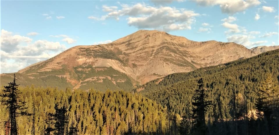 ChallengingElk Mountain Trail6.8 mi · 6.5 hr · 6.4 mi awayA punishing climb to an old lookout site above Marias Pass.
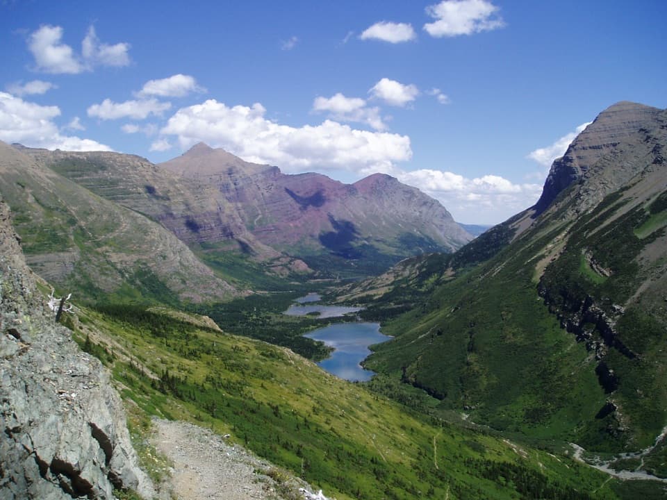 ChallengingContinental Divide National Scenic Trail (Glacier Section)114 mi · 3 days · 11 mi awayA 114-mile pass-to-border traverse over the Continental Divide.
 ModerateAutumn Creek Trail8.6 mi · 4.5 hr · 11 mi awayA wooded traverse past Three Bears Lake to the Lubec access.
 ChallengingCoal Creek Trail15 mi · 12 hr · 12.4 mi awayA remote, ford-heavy route through Coal Creek's backcountry.
 ChallengingCoal–Fielding Trail21.4 mi · 14 hr · 12.4 mi awayA remote traverse with long climbs and a serious river ford.
Parkwolf’s Glacier ranking

The audio tour guide for the drive, plus offline maps, trails, and wildlife heatmaps for when the signal drops.





