Parking
Use designated backcountry parking by Walton Ranger Station off U.S. Highway 2. The route begins near the station barn, about 32 miles east of West Glacier.

Glacier National Park, MT
A 33.6-mile Walton backcountry trek to a trout-filled cirque lake.
Overview
Map & elevation
Plan your hike

The highest, rockiest slopes around here are a summer buffet for grizzly bears.
Glacier Tour Guide
Parkwolf is a GPS audio tour guide for Glacier National Park. As you drive, it chimes in with what’s ahead: hidden gems, upcoming stops, history, geology, and wildlife, right through your car’s speakers.
See the Glacier audio tourRecorded for this trailhead
Walton and Scalplock Lookout Trailhead“You're approaching Walton's Boundary Trailhead, the start of the steep climb to Scalplock Lookout. Allow six to seven hours for the nine point four mile round trip, with about three thousand feet of climbing.”
Plays as you drive up to this trailhead in the Parkwolf Glacier Tour Guide.
More stories near here in the app
“Our first time to glacier and we used the audio portion for Going to the Sun Road. Wonderful information with perfect advice of what to see and do along the road.”


Trail guide
Lake Isabel Trail is a remote out-and-back from Walton Ranger Station to Lake Isabel. Budget about 33.6 miles round trip: the connected mapped route is 16.7 miles one way, and its final 2.3 miles branch off Park Creek to reach the lake. Older published totals differ, so plan for the longer distance. This is a demanding backpack, not a day hike; allow roughly 20 hours of trail time over at least two days.
Start near the ranger station barn on Boundary Trail. It follows the Middle Fork Flathead River, switchbacks up a wooded hillside, then levels across a saddle below Scalplock Mountain and turns around its north side. A separate branch climbs toward Scalplock Lookout. The main route passes two narrow creek drainages under Douglas fir and larch; at about mile 3.4, turn northeast into Park Creek valley.
Park Creek passes marshy meadows with Rampage Mountain across the valley and the Lower Park Creek campground and junction. Near Upper Park Creek, cross the creek and take the Lake Isabel branch at the Y; the Two Medicine Pass route goes the other way. Another crossing follows about 0.4 mile later. From there, the trail climbs the last 2.3 miles to Lake Isabel.
The payoff is a trout-filled subalpine lake tucked below a rugged cirque, with Caper Peak, Battlement Mountain and Vigil Peak around the basin. A backcountry campground sits on the lake's north side. An overnight stay requires a wilderness permit. No food, potable water or toilet facilities were found along this route, so plan accordingly.
Walton Ranger Station is off U.S. Highway 2, about 32 miles east of West Glacier, with designated backcountry parking; the trail begins near the barn. Glacier does not allow pets on trails or in the backcountry. Expect stream crossings; early-season water can be deep and cold, high-country snow may linger, and seasonal bridges are removed by late September. Check current trail and campground status before setting out.
Wildlife
 404 sightingsGrizzly BearMost seen around 6 AMSighting map
 11 sightingsWolverineMost seen around 8 PMSighting map
 1,173 sightingsMountain GoatMost seen around 6 AMSighting map
 1,000 sightingsBighorn SheepMost seen around 6 AMSighting map
 395 sightingsMooseMost seen around 6 AMSighting map
 506 sightingsBlack BearMost seen around 8 PMSighting map
Sighting maps show where each species has been reported across Glacier. Wildlife moves, so no sighting is guaranteed.
Keep exploring
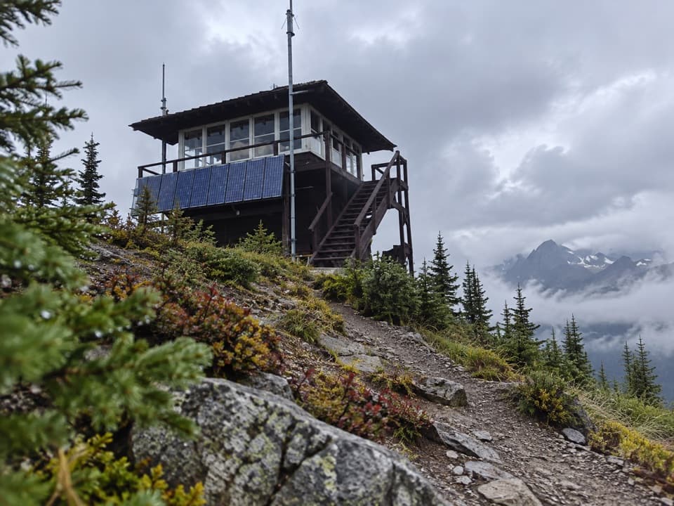 ChallengingScalplock Lookout Trail9.4 mi · 6.5 hr · At the trailheadA 1931 fire lookout crowns a steep, switchbacked climb.
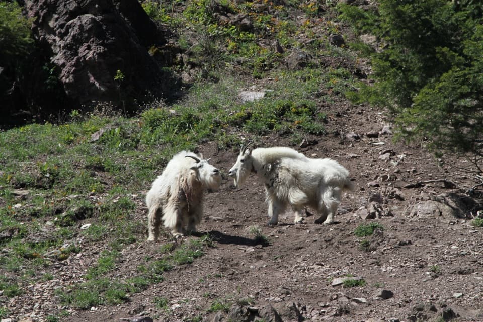 EasyGoat Lick Overlook Trail0.2 mi · 20 min · 1.7 mi awayA short paved walk to mountain-goat country above the river.
 ModeratePark Creek Trail11.5 mi · 7 hr · 2.2 mi awayA gradual creekside route into Glacier’s remote Park Creek valley.
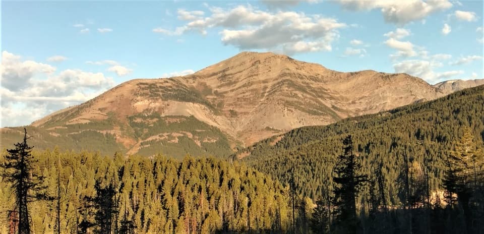 ChallengingElk Mountain Trail6.8 mi · 6.5 hr · 7.6 mi awayA punishing climb to an old lookout site above Marias Pass.
 ChallengingCoal Creek Trail15 mi · 12 hr · 10.8 mi awayA remote, ford-heavy route through Coal Creek's backcountry.
 ChallengingCoal–Fielding Trail21.4 mi · 14 hr · 10.8 mi awayA remote traverse with long climbs and a serious river ford.
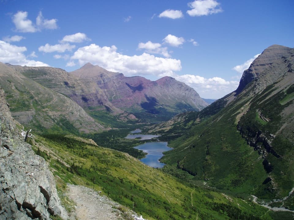 ChallengingContinental Divide National Scenic Trail (Glacier Section)114 mi · 3 days · 11.9 mi awayA 114-mile pass-to-border traverse over the Continental Divide.
 ModerateAutumn Creek Trail8.6 mi · 4.5 hr · 11.9 mi awayA wooded traverse past Three Bears Lake to the Lubec access.
Parkwolf’s Glacier ranking

The audio tour guide for the drive, plus offline maps, trails, and wildlife heatmaps for when the signal drops.





