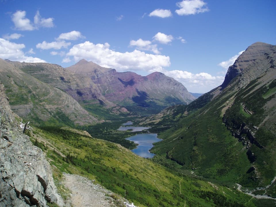
Continental Divide National Scenic Trail (Glacier Section) in Glacier National Park

Glacier National Park, MT

Continental Divide National Scenic Trail (Glacier Section)

A 114-mile pass-to-border traverse over the Continental Divide.

Photo: Wikimedia Commons
Length
114mi
Time
3days
Elev. change
3,100ft
Difficulty
Challenging
  • No dogs
  • High point 7,336 ft

Hear the audio tour

Marias Pass and Three Bears Lake

Overview

About Continental Divide National Scenic Trail (Glacier Section)

Why go

  • Links Glacier’s valleys in one continuous Continental Divide traverse.
  • Passes near Triple Divide Peak’s rare three-ocean drainage point.

Heads up

  • Requires a wilderness permit and a multi-night campsite plan.
  • A 114-mile point-to-point route needs transport at both ends.

Map & elevation

The route

Loading the Glacier map
Full map
Elevation4,236–7,336 ft
TrailheadMarias Pass (Summit Trailhead)48.31938, -113.35372
Keep this map with you offline in the Parkwolf app

Plan your hike

Before you go

Parking

The southern access is Marias Pass at the Summit Trailhead beside US 2. This route ends near Goat Haunt/Waterton rather than returning to the start, so arrange transport for the north end and confirm parking and border access before departure.

Best time to go

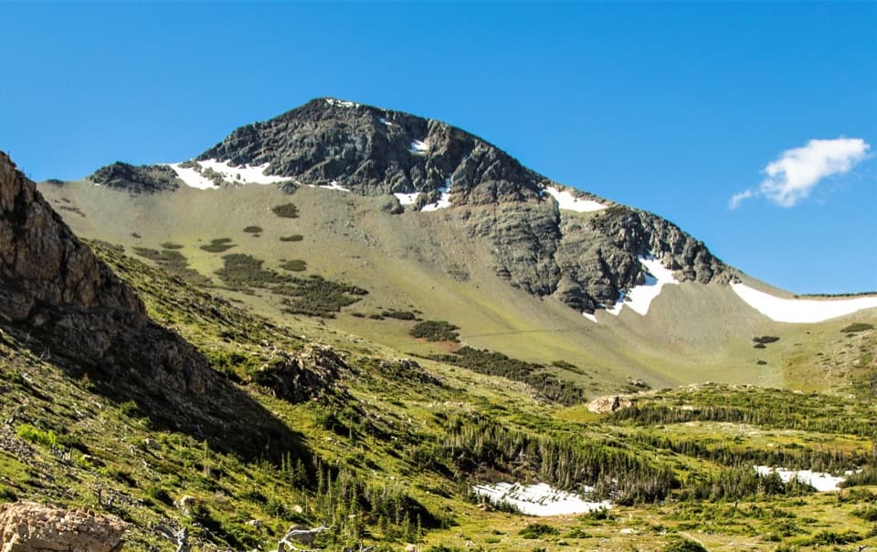
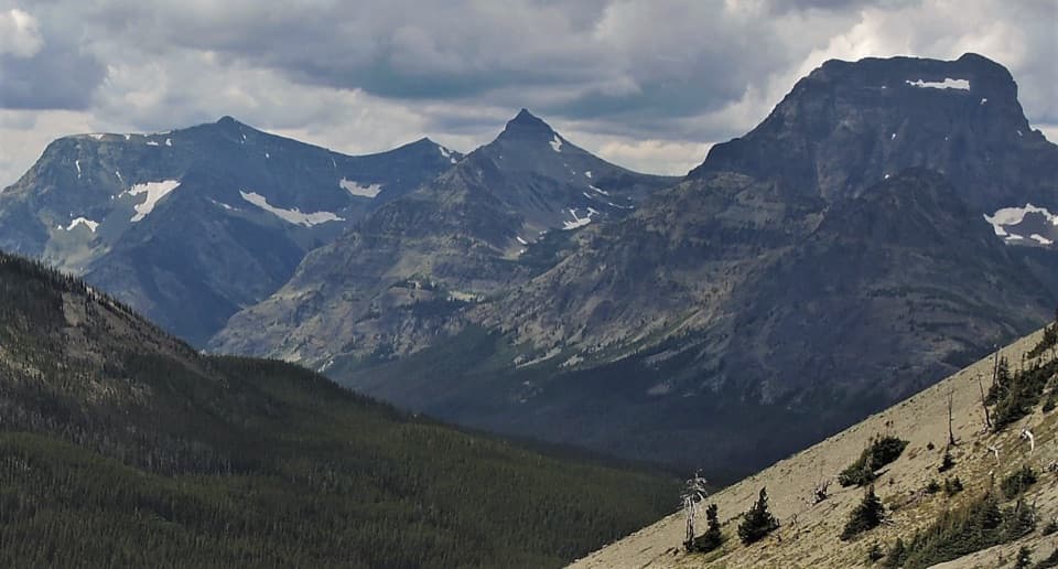
Near Triple Divide Pass, the route passes by Triple Divide Peak, where water can drain toward the Pacific, Atlantic or Hudson Bay basins. High passes are commonly snow-covered into early summer and are typically snow-free by late July, but hazardous snow can persist at any time. Treat natural water before drinking; pets are prohibited on park trails. Check trail and road status before setting out.

Safety

Overnight travel requires a Glacier wilderness permit and designated campsites. High passes can hold hazardous snow into summer or later; check current trail conditions. Dogs are prohibited on park trails, and natural water must be treated.

1 active Glacier alert

  • ClosureTwo Medicine Campground closed for 2026 constructionTwo Medicine Campground is closed throughout 2026 because of construction in the Two Medicine developed area.Official details
Glacier alerts
A park ranger sits on a dash-mounted phone, talking, as Parkwolf’s Tour Guide plays “Army Cutworm Moths: A Grizzly Bear Buffet” on Grand Loop Road below Dunraven Pass in Yellowstone
Parkwolf Tour GuideThe highest, rockiest slopes around here are a summer buffet for grizzly bears.

Glacier Tour Guide

Your drive to Continental Divide National Scenic Trail (Glacier Section), narrated.

Parkwolf is a GPS audio tour guide for Glacier National Park. As you drive, it chimes in with what’s ahead: hidden gems, upcoming stops, history, geology, and wildlife, right through your car’s speakers.

See the Glacier audio tour

Recorded for this trailhead

Marias Pass and Three Bears Lake
0:00 / 0:25
“You’re approaching Summit Trailhead at Marias Pass, where a short out-and-back to Three Bears Lake is the simplest walking option.”

Plays as you drive up to this trailhead in the Parkwolf Glacier Tour Guide.

More stories near here in the app

  • The Biologist Who Paid for the Survey
  • Where a Stream Drops Its Gravel
  • How Much Water Is in the Snow?
  • An Osprey’s Grip on a Fish
  • 204 audio storiesacross Glacier’s roads, triggered by GPS as you drive
  • Wildlife heatmapsfor Grizzly Bear, Wolverine, Mountain Goat, and 13 more
  • Works offlinemaps, 157 trails, 91 places, and audio download before you lose signal
  • CarPlay readysimple controls built for the drive
★★★★★
“Our first time to glacier and we used the audio portion for Going to the Sun Road. Wonderful information with perfect advice of what to see and do along the road.”
PaisleyParkFanApp Store review
Download Parkwolf on the App StoreGet Parkwolf on Google Play

4.7 from 8,600+ ratings

Trail guide

Hiking Continental Divide National Scenic Trail (Glacier Section)

A full crossing of GlacierThis is the Glacier National Park section of the Continental Divide National Scenic Trail: a…

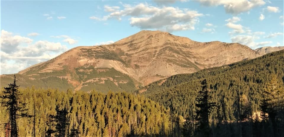
This is the Glacier National Park section of the Continental Divide National Scenic Trail: a 114-mile, one-way route from Marias Pass north to the Goat Haunt/Waterton Lakes boundary. The mapped line measures about 114.16 miles; many descriptions round the corridor to roughly 110 miles. It crosses Two Medicine, St. Mary and Many Glacier country. Plan on a multi-night backpacking trip, roughly eight to ten days at a steady pace, rather than a day hike.

The line northFrom Marias Pass the route climbs through Firebrand Pass and Two Medicine, then links the…

From Marias Pass the route climbs through Firebrand Pass and Two Medicine, then links the park’s St. Mary and Many Glacier valleys over high Continental Divide passes, including Triple Divide and Swiftcurrent. Expect a long point-to-point traverse with substantial climbing and changing trail and connector sections. This record follows the Waterton/Goat Haunt end of the route. Glacier also recognizes a distinct Chief Mountain alternate that meets the main line near Many Glacier; it is not included in these miles.

Permits and transportOvernight travel in Glacier requires a wilderness permit, and campers must use designated…

Overnight travel in Glacier requires a wilderness permit, and campers must use designated backcountry sites. Plan the permitted campsites before locking in daily mileage or transport. The route does not return to its start: begin at Marias Pass on US 2 and arrange a pickup or shuttle for the northern end. Confirm border access requirements for the direction you plan to travel.

Wildlife

Wildlife in Glacier

All Glacier wildlife maps

Sighting maps show where each species has been reported across Glacier. Wildlife moves, so no sighting is guaranteed.

Parkwolf’s Glacier ranking

Top-rated trails in Glacier

All 157 trails
  1. 1Highline TrailChallenging · 11.8 mi
  2. 2Grinnell Glacier TrailChallenging · 10 mi
  3. 3Iceberg Lake TrailModerate · 9.6 mi
  4. 4Hidden Lake Overlook TrailModerate · 2.6 mi
  5. 5Avalanche Lake TrailModerate · 5 mi
  6. 6Trail of the CedarsEasy · 0.9 mi

Take Parkwolf to Glacier.

The audio tour guide for the drive, plus offline maps, trails, and wildlife heatmaps for when the signal drops.

4.7 from 8,600+ ratings

Download Parkwolf on the App StoreGet Parkwolf on Google Play