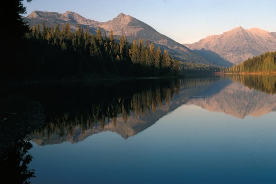
Grace Lake via Logging Lake Trail in Glacier National Park

Glacier National Park, MT

Grace Lake via Logging Lake Trail

A remote 25-mile return through forest to Grace Lake

Photo: National Park Service
Length
24.9mi
Time
11.5hr
Elev. change
620ft
Difficulty
Challenging
  • No dogs
  • High point 4,098 ft

Hear the audio tour

Logging Creek and Logging Lake

Overview

About Grace Lake via Logging Lake Trail

Why go

  • Remote lake country with a historic ranger cabin spur
  • An easy grade for a trail this long

Heads up

  • Nearly 25 miles round trip before the side spurs
  • Long forest stretches; the big lake views come late
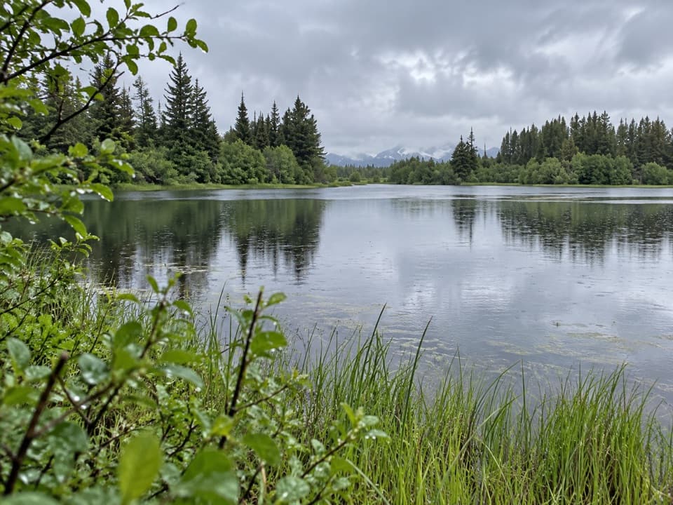
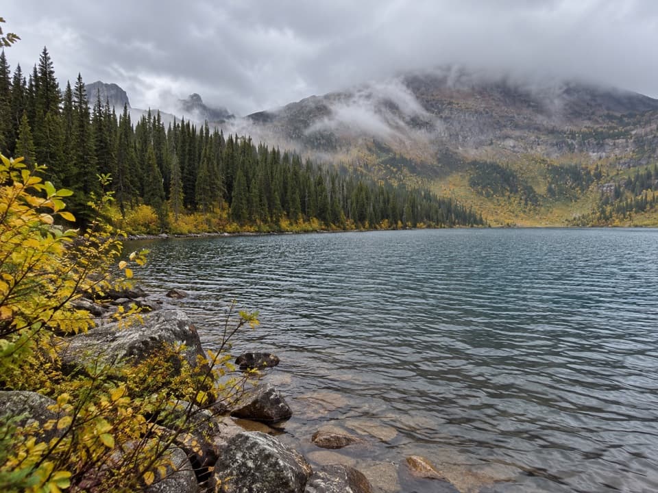
This is a remote out-and-back on the Logging Lake Trail from Inside North Fork Road to Grace Lake. The mapped route is about 12.4 miles each way, or 24.9 miles round trip, through long stretches of forest to two quiet lakes. Choose it if you want a serious North Fork walk and can handle a full day on your feet; allow about 11 to 12 hours with stops. An overnight can make more sense. For a shorter taste, turn around at the foot of Logging Lake for about 8.8 miles round trip.
Parkwolf’s verdictIs this the hike for you?

Map & elevation

The route

Loading the Glacier map
Full map
Elevation3,478–4,098 ft
TrailheadLogging Lake Trailhead, Inside North Fork Road48.69923, -114.19339
Keep this map with you offline in the Parkwolf app

Plan your hike

Before you go

Parking

Start at the roadside trailhead on Inside North Fork Road, about 7 miles south of Polebridge Ranger Station. It is roughly 3 miles south of Quartz Creek Campground and a few hundred yards north of Logging Creek Campground. Parking capacity was not found.

Safety

This is a remote, nearly 25-mile round trip with no confirmed restrooms or potable water at the trailhead. Plan for a full day or an authorized backcountry overnight. Pets are prohibited on Glacier trails; backcountry camping requires a wilderness permit.

1 active Glacier alert

  • ClosureTwo Medicine Campground closed for 2026 constructionTwo Medicine Campground is closed throughout 2026 because of construction in the Two Medicine developed area.Official details
Glacier alerts
A park ranger sits on a dash-mounted phone, talking, as Parkwolf’s Tour Guide plays “Army Cutworm Moths: A Grizzly Bear Buffet” on Grand Loop Road below Dunraven Pass in Yellowstone
Parkwolf Tour GuideThe highest, rockiest slopes around here are a summer buffet for grizzly bears.

Glacier Tour Guide

Your drive to Grace Lake via Logging Lake Trail, narrated.

Parkwolf is a GPS audio tour guide for Glacier National Park. As you drive, it chimes in with what’s ahead: hidden gems, upcoming stops, history, geology, and wildlife, right through your car’s speakers.

See the Glacier audio tour

Recorded for this trailhead

Logging Creek and Logging Lake
0:00 / 0:25
“Up ahead is the Logging Creek area, with a seven-site primitive campground and the trail access for Logging Lake. The campground has no drinking water, and RVs and trailers aren’t permitted.”

Plays as you drive up to this trailhead in the Parkwolf Glacier Tour Guide.

More stories near here in the app

  • Turning Smoke into a Map Location
  • Tiny Lives in Icy Streams
  • The Dragonfly's Water Test
  • What Antler Velvet Does
  • 204 audio storiesacross Glacier’s roads, triggered by GPS as you drive
  • Wildlife heatmapsfor Grizzly Bear, Wolverine, Mountain Goat, and 13 more
  • Works offlinemaps, 157 trails, 91 places, and audio download before you lose signal
  • CarPlay readysimple controls built for the drive
★★★★★
“Our first time to glacier and we used the audio portion for Going to the Sun Road. Wonderful information with perfect advice of what to see and do along the road.”
PaisleyParkFanApp Store review
Download Parkwolf on the App StoreGet Parkwolf on Google Play

4.7 from 8,600+ ratings

Trail guide

Hiking Grace Lake via Logging Lake Trail

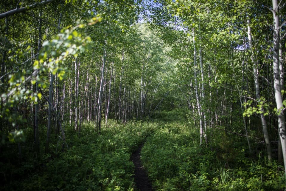
Through the forestThe trail climbs to a forested plateau, then stays fairly level for several miles.

The trail climbs to a forested plateau, then stays fairly level for several miles. Logging Creek appears below the trail now and then. A patch burned in the mid-2000s opens a view toward the Livingston Range; otherwise, the early miles are mostly about the old conifers and the quiet of the North Fork.

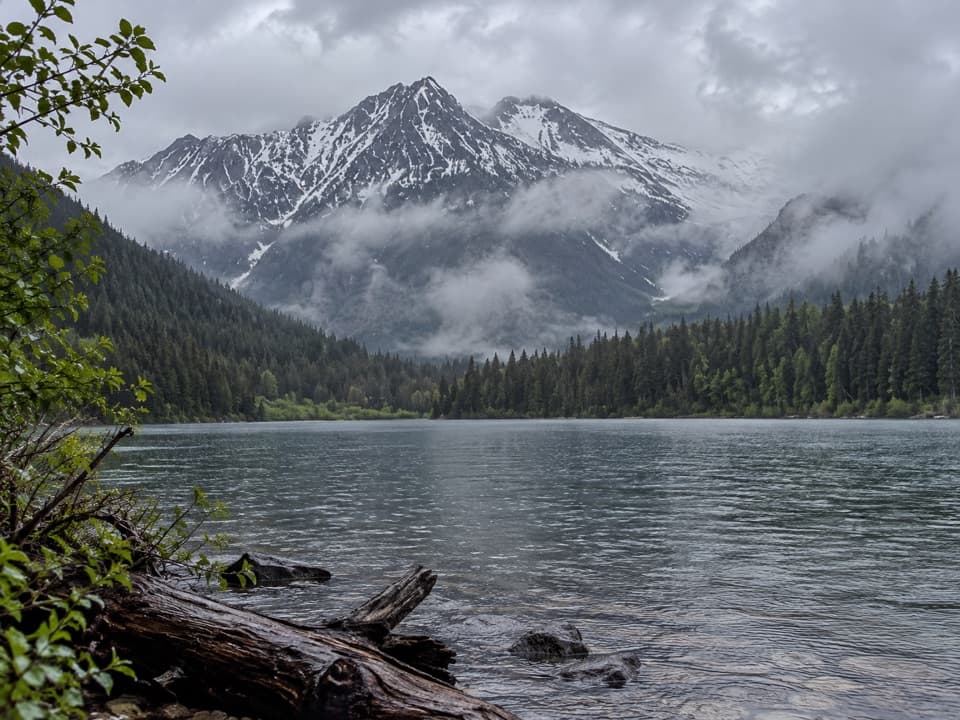
Logging Lake and the patrol cabinAt 4.4 miles you reach the foot of Logging Lake.

At 4.4 miles you reach the foot of Logging Lake. The trail follows its north shore through dense forest toward the far end. Near mile 4.9, a short spur leads about a third of a mile to the Logging Lake Patrol Cabin, built in 1930 and still used by backcountry rangers. Another short spur near mile 5 reaches the Logging Lake Foot Campground; it is about a third of a mile off the main trail and offers one of the best looks across the lake. That lakeshore is the best place to pause for the mountain reflections.

On to Grace LakeAdair Campground is around mile 9.8, the head of Logging Lake around mile 11.

Adair Campground is around mile 9.8, the head of Logging Lake around mile 11.4, and the Grace Lake area around mile 12.4. These are backcountry sites, not roadside stops. If you plan to stay overnight, you need a wilderness camping permit; check the current reservation process before you build your itinerary. Turn back on the same trail for the return.

Access and rulesThe trailhead is on the Inside North Fork Road, about seven road miles south of Polebridge…

The trailhead is on the Inside North Fork Road, about seven road miles south of Polebridge Ranger Station. This is a remote gravel-road approach, so check current road conditions before leaving. Pets are not allowed on Glacier trails. Restrooms and potable water at the trailhead were not confirmed in the information available, so do not plan around finding either there.

Is this the hike for you?The mapped line here ends in the Grace Lake area.

The mapped line here ends in the Grace Lake area. Some descriptions continue about another mile to the head of Grace Lake; that adds roughly two miles to the round trip, so be clear about your turnaround before you start.

Wildlife

Wildlife in Glacier

All Glacier wildlife maps

Sighting maps show where each species has been reported across Glacier. Wildlife moves, so no sighting is guaranteed.

Keep exploring

Near Grace Lake via Logging Lake Trail

See it all on the map

Trails that start nearby

Places near the trailhead

Parkwolf’s Glacier ranking

Top-rated trails in Glacier

All 157 trails
  1. 1Highline TrailChallenging · 11.8 mi
  2. 2Grinnell Glacier TrailChallenging · 10 mi
  3. 3Iceberg Lake TrailModerate · 9.6 mi
  4. 4Hidden Lake Overlook TrailModerate · 2.6 mi
  5. 5Avalanche Lake TrailModerate · 5 mi
  6. 6Trail of the CedarsEasy · 0.9 mi

Take Parkwolf to Glacier.

The audio tour guide for the drive, plus offline maps, trails, and wildlife heatmaps for when the signal drops.

4.7 from 8,600+ ratings

Download Parkwolf on the App StoreGet Parkwolf on Google Play