Parking
Use the Forest and Fire Nature Trail parking area off Camas Road, about 0.5 miles east of the North Fork Road intersection near Camas Creek Entrance. Wildfire displays stand in the lot.
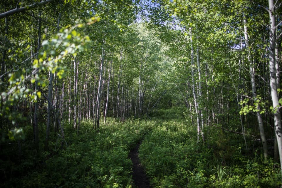
Glacier National Park, MT
A short loop through the forest growing back after fire.
Overview
Map & elevation
Plan your hike

The highest, rockiest slopes around here are a summer buffet for grizzly bears.
Glacier Tour Guide
Parkwolf is a GPS audio tour guide for Glacier National Park. As you drive, it chimes in with what’s ahead: hidden gems, upcoming stops, history, geology, and wildlife, right through your car’s speakers.
See the Glacier audio tourRecorded for this trailhead
Forest and Fire Nature Trail“Up ahead is Forest and Fire Nature Trail, a short walk for seeing what grows back after a burn. The one point one mile loop takes about thirty to sixty minutes, with one brief climb and only partial mountain views.”
Plays as you drive up to this trailhead in the Parkwolf Glacier Tour Guide.
More stories near here in the app
“Our first time to glacier and we used the audio portion for Going to the Sun Road. Wonderful information with perfect advice of what to see and do along the road.”


Trail guide
Forest and Fire Nature Trail is a 1.1-mile loop from the Camas Road parking area, with about 180 feet of climbing. Allow roughly 30 to 60 minutes. A short access stretch leads to the circuit; at the junction, turn left for the suggested clockwise route. It is an easy way to see how fire reshapes a forest, with one brief climb and a view north. If you are after a broad alpine panorama, this is a lower-key stop rather than a substitute for a high-country hike.
The wildfire displays are beside the parking area; there are no interpretive panels along the trail itself, so the recovering woods are the lesson. The area burned in 1967 and again in the 2001 Moose Fire. Standing dead trees rise among young lodgepole pines and aspens. Yellow clover, fireweed and golden asters add color in summer, with the clover usually past its best by mid-August.
Near the halfway point, the trail climbs a little over 100 feet to its high point. Openings look toward the Flathead River and the northern mountains; views toward the Continental Divide are partly screened by standing snags. A thimbleberry patch near the high point may attract bears, so stay alert for wildlife.
The parking area is off Camas Road, about half a mile east of the North Fork Road intersection near Camas Creek Entrance. Give the fire displays a look before you start. Pets are not allowed on trails in Glacier.
Wildlife
 404 sightingsGrizzly BearMost seen around 6 AMSighting map
 11 sightingsWolverineMost seen around 8 PMSighting map
 1,173 sightingsMountain GoatMost seen around 6 AMSighting map
 1,000 sightingsBighorn SheepMost seen around 6 AMSighting map
 395 sightingsMooseMost seen around 6 AMSighting map
 506 sightingsBlack BearMost seen around 8 PMSighting map
Sighting maps show where each species has been reported across Glacier. Wildlife moves, so no sighting is guaranteed.
Keep exploring
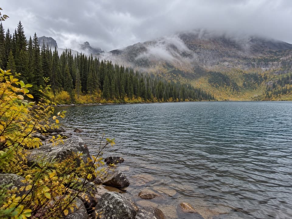 ChallengingDutch Lakes Trail18.8 mi · 11 hr · 3.2 mi awayA long, rough route to a remote alpine basin.
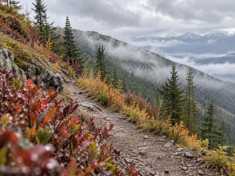 ChallengingHuckleberry Lookout Trail12 mi · 7.5 hr · 4.6 mi awayA long climb to a historic fire lookout and open ridgeline views.
 ModerateCamas Creek Trail7.1 mi · 4 hr · 4.7 mi awayCreekside miles lead to Rogers Meadow and the Trout Lake junction.
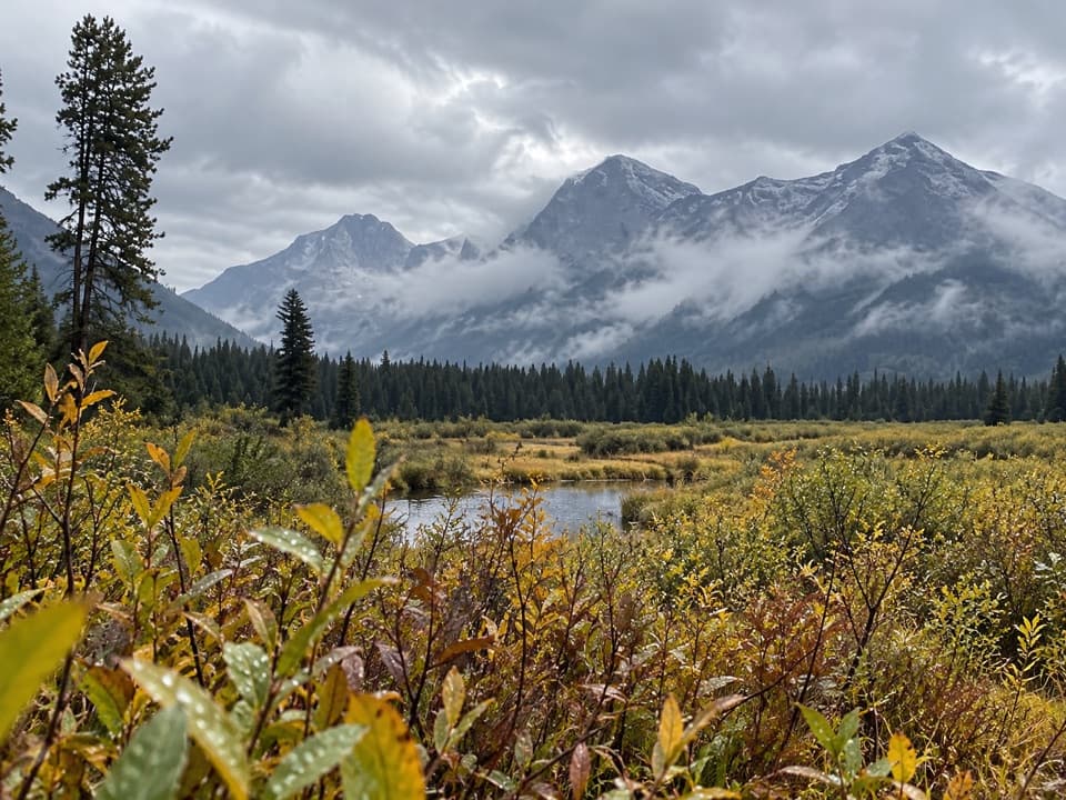 ModerateRogers Meadow Trail6.3 mi · 2.5 hr · 4.7 mi awayCamas Creek bends across a broad meadow beneath rugged peaks.
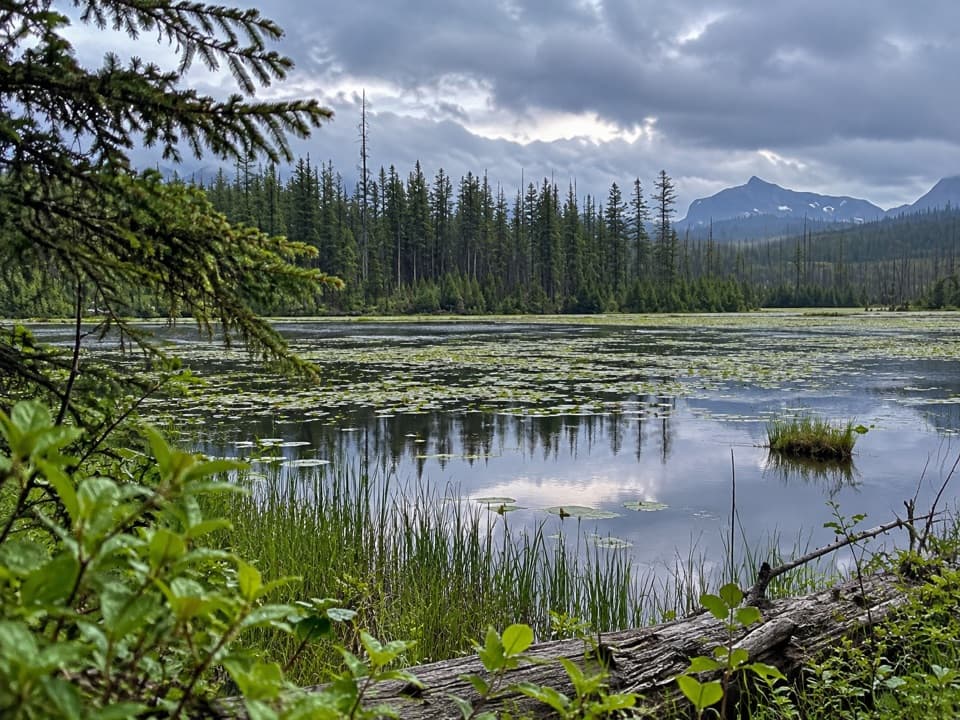 EasyHowe Lake Trail3.9 mi · 2.3 hr · 4.8 mi awayA mellow walk to lily pads and filtered mountain views
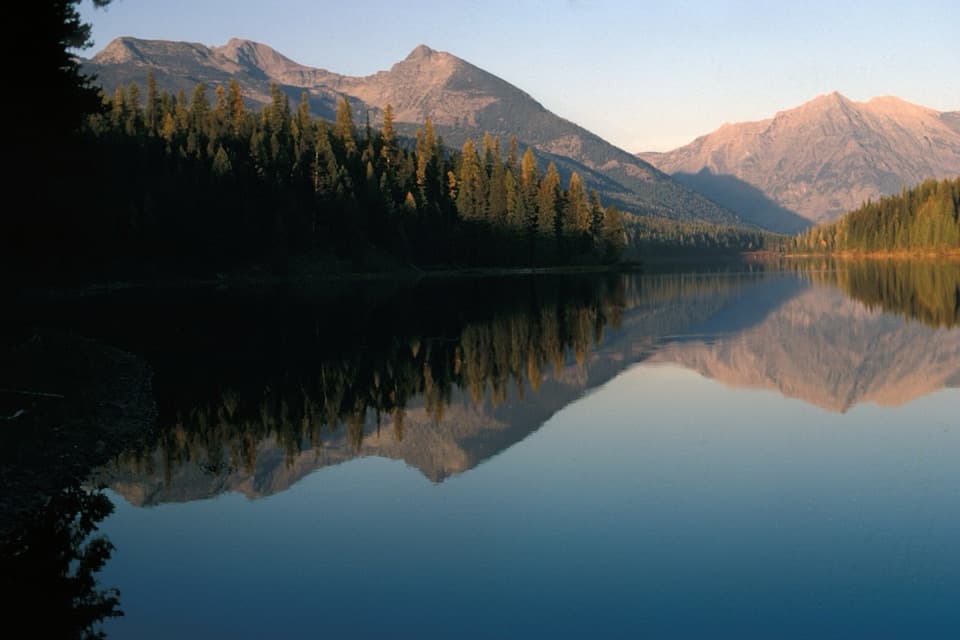 ChallengingGrace Lake via Logging Lake Trail24.9 mi · 11.5 hr · 5.9 mi awayA remote 25-mile return through forest to Grace Lake
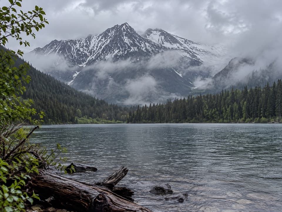 ModerateLogging Lake Trail8.8 mi · 4.5 hr · 5.9 mi awayA gentle forest walk to a remote lake beneath mountain peaks.
 ChallengingHowe Ridge Trail11.6 mi · 9 hr · 7.1 mi awayA rough ridge traverse where route-finding matters as much as climbing.
 Campground · 5.8 mi awayLogging Creek CampgroundSeven primitive creekside sites near the Logging Lake trail.
 Campground · 8 mi awayQuartz Creek CampgroundA primitive North Fork base camp near the Lower Quartz Lake trail.
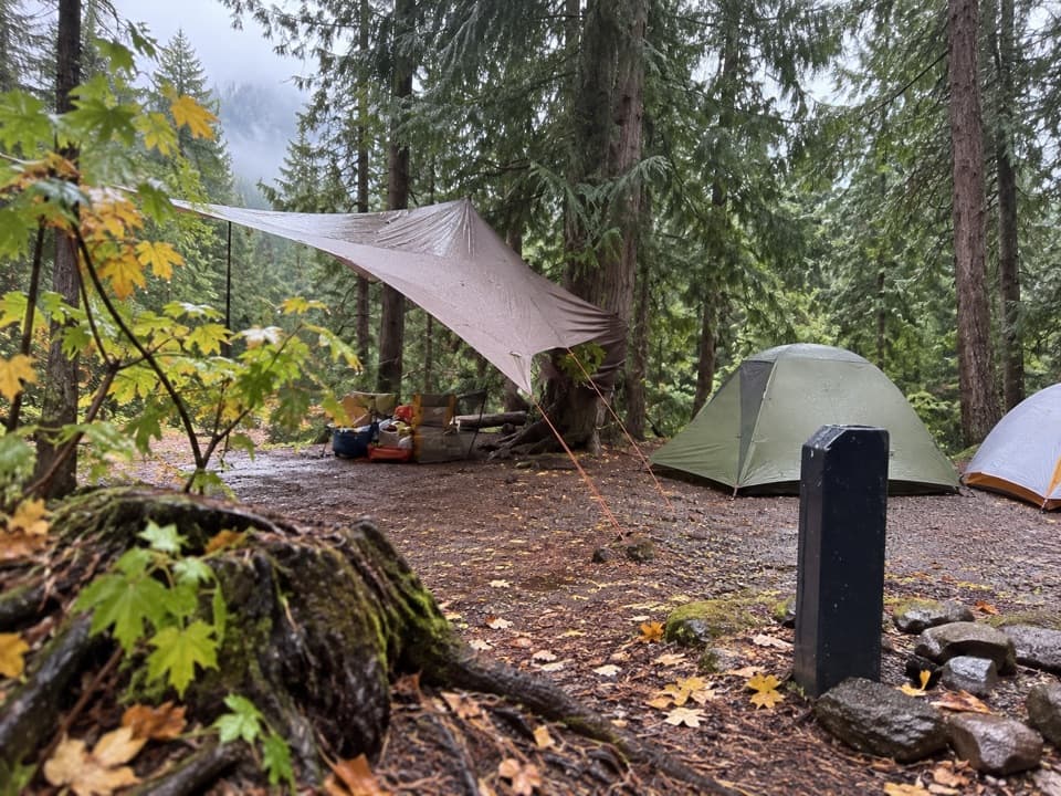 Campground · 8.5 mi awayFish Creek CampgroundA wooded west-side base with seasonal showers and Lake McDonald access.
 Picnic area · 8.6 mi awayFish Creek Picnic AreaA short stop for Lake McDonald’s rocky shore and picnic tables
 Sight · 8.7 mi awayRocky PointA short shore walk opens broad views across Lake McDonald.
 Lodging · 9 mi awayVillage Inn at ApgarA 36-room lakeside inn where every room faces Lake McDonald.
 Lodging · 9.1 mi awayApgar Village Lodge & CabinsSleep beside Lake McDonald in cabins or simple motel rooms.
 Sight · 9.1 mi awayApgar VillageFood, boats and lake access share the west shore.
Parkwolf’s Glacier ranking

The audio tour guide for the drive, plus offline maps, trails, and wildlife heatmaps for when the signal drops.





