Parking
Roadside parking on the north side of Dutch Creek along Inside North Fork Road. Walk to the sharp left bend; the faint, unmarked trail begins on the right. No lot capacity or parking fee was documented.
Glacier National Park, MT
A long, rough route to a remote alpine basin.
Overview
Map & elevation
Plan your hike

The highest, rockiest slopes around here are a summer buffet for grizzly bears.
Glacier Tour Guide
Parkwolf is a GPS audio tour guide for Glacier National Park. As you drive, it chimes in with what’s ahead: hidden gems, upcoming stops, history, geology, and wildlife, right through your car’s speakers.
See the Glacier audio tourRecorded for this area
The Woodpecker After the Fire“For a black-backed woodpecker, a fire-killed tree can be full of food. Wood-boring beetle larvae feed inside the dead wood, and the bird pecks through bark to reach them.”
Plays on the road 2 mi from the trailhead in the Parkwolf Glacier Tour Guide.
More stories near here in the app
“Our first time to glacier and we used the audio portion for Going to the Sun Road. Wonderful information with perfect advice of what to see and do along the road.”


Trail guide
Dutch Lakes Trail is an 18.8-mile out-and-back from Inside North Fork Road to a high basin below Longfellow Peak. The mapped footpath runs about 9.32 miles one way; the full distance includes returning over the same corridor. Allow roughly 10 to 12 hours for the long approach, about 2,100 feet of climbing, creek crossings and slow footing. This suits experienced hikers who are comfortable with a faint trail and route-finding, not a quick lakeside stop.
Park on the north side of Dutch Creek, then walk along the road to a sharp bend left. The unmarked path branches off on the right. The lower miles climb gradually through burned hills mixed with surviving forest, with smaller feeder creeks and fallen timber along the way. Some tread is washed or overgrown; at Dutch Creek, water has cut into the trail and makes the line harder to follow. Expect several unbridged crossings and take time to choose safe footing.
The drainage becomes more enclosed as you go. The upper trail climbs more steeply by switchbacks through cliffs, then eases into open alpine country. There is no maintained shortcut to the lakes, so plan for the full day out and back.
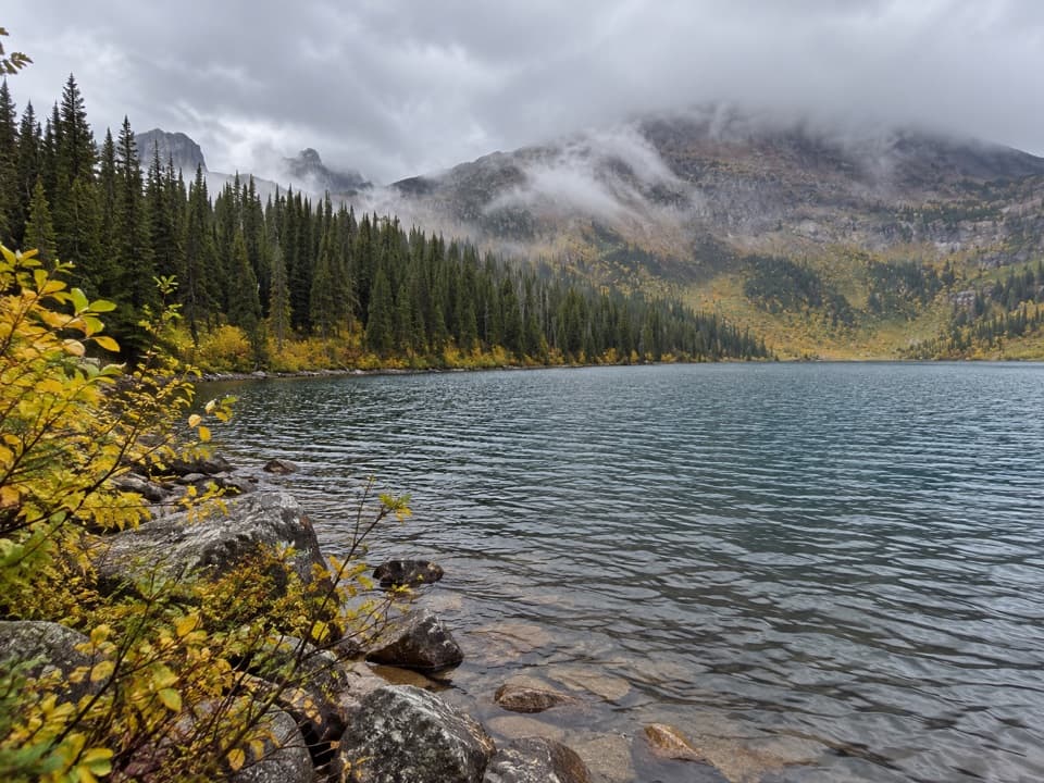
Dutch Lakes sit at the head of the basin beneath Longfellow Peak, between Dutch and Camas ridges. A distinct rock feature on the peak is known as Paul Bunyan’s Cabin. The shore is the reward for the long approach: frame the lake with the peak behind it to show the basin’s scale.
The west-side hills and meadows here once supported homesteads; now the trail feels remote soon after leaving the road. Burned slopes alternate with surviving stands, and wildflowers such as fireweed and geranium are reported in the open burn areas. There are no trail-specific food or service details documented for the route, so do not count on a stop at the trailhead or along the way.
Wildlife
 404 sightingsGrizzly BearMost seen around 6 AMSighting map
 11 sightingsWolverineMost seen around 8 PMSighting map
 1,173 sightingsMountain GoatMost seen around 6 AMSighting map
 1,000 sightingsBighorn SheepMost seen around 6 AMSighting map
 395 sightingsMooseMost seen around 6 AMSighting map
 506 sightingsBlack BearMost seen around 8 PMSighting map
Sighting maps show where each species has been reported across Glacier. Wildlife moves, so no sighting is guaranteed.
Keep exploring
 ModerateCamas Creek Trail7.1 mi · 4 hr · 2.8 mi awayCreekside miles lead to Rogers Meadow and the Trout Lake junction.
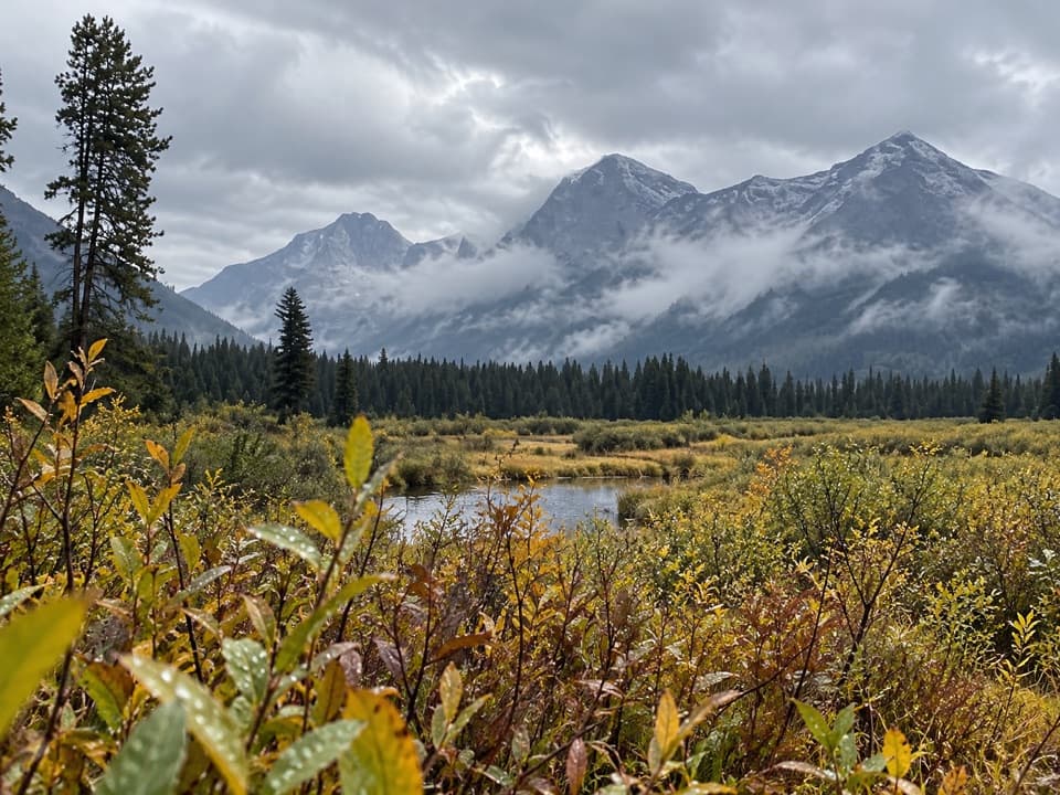 ModerateRogers Meadow Trail6.3 mi · 2.5 hr · 2.8 mi awayCamas Creek bends across a broad meadow beneath rugged peaks.
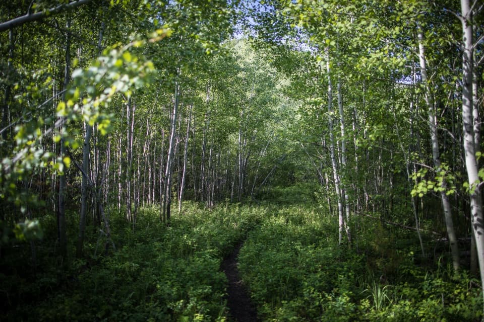 EasyForest and Fire Nature Trail1.1 mi · 45 min · 3.2 mi awayA short loop through the forest growing back after fire.
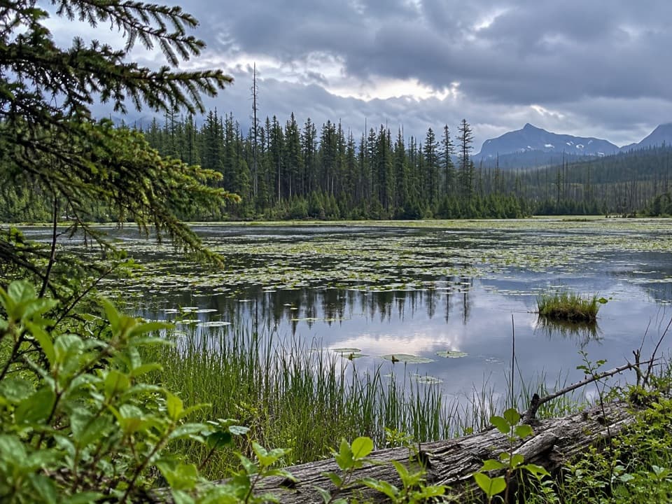 EasyHowe Lake Trail3.9 mi · 2.3 hr · 3.6 mi awayA mellow walk to lily pads and filtered mountain views
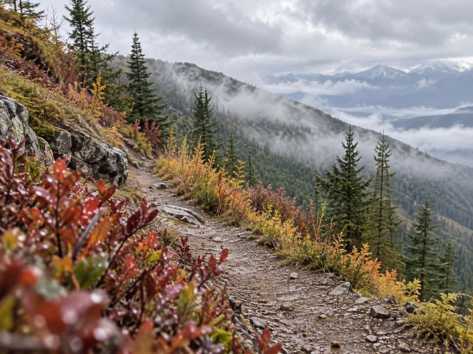 ChallengingHuckleberry Lookout Trail12 mi · 7.5 hr · 4.2 mi awayA long climb to a historic fire lookout and open ridgeline views.
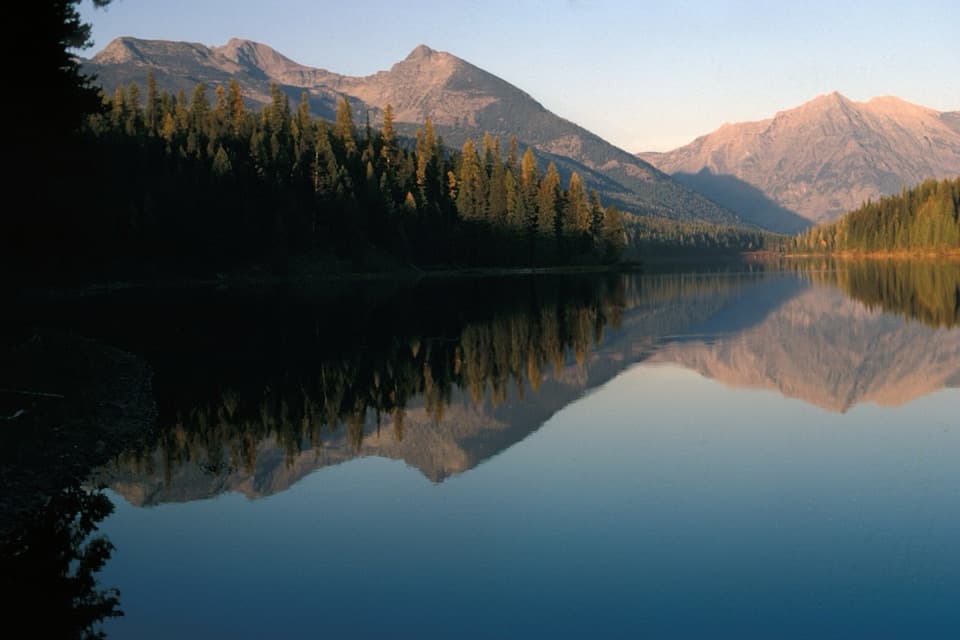 ChallengingGrace Lake via Logging Lake Trail24.9 mi · 11.5 hr · 6.4 mi awayA remote 25-mile return through forest to Grace Lake
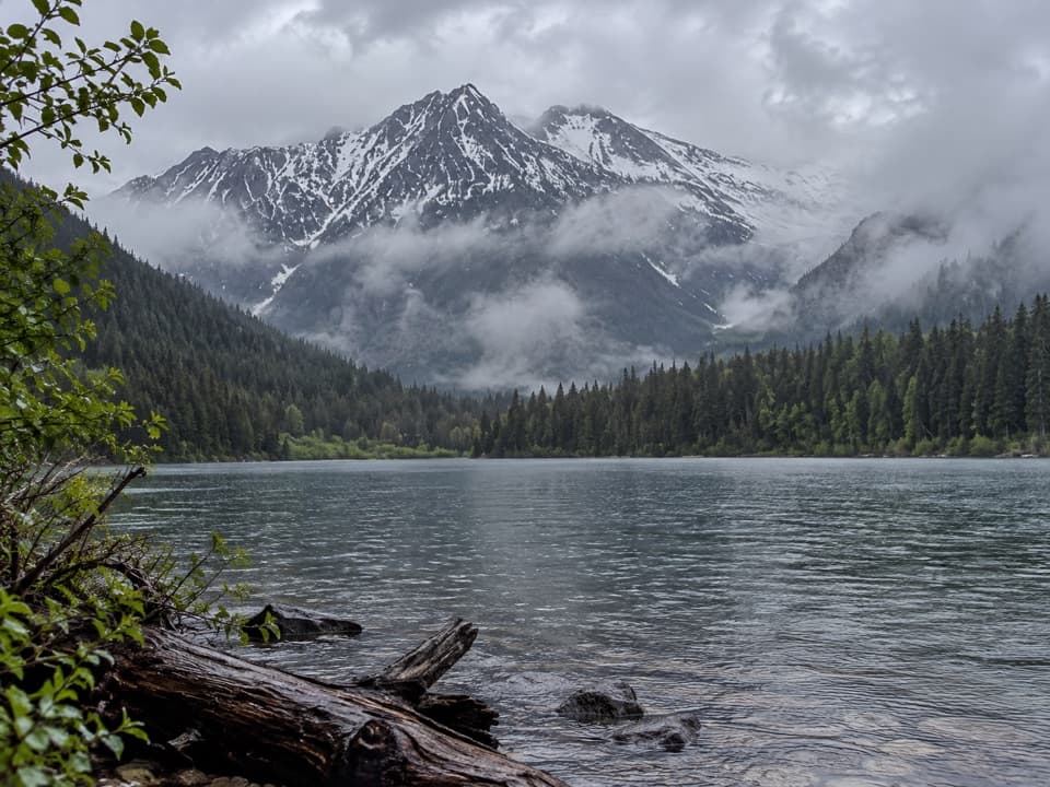 ModerateLogging Lake Trail8.8 mi · 4.5 hr · 6.4 mi awayA gentle forest walk to a remote lake beneath mountain peaks.
 ChallengingHowe Ridge Trail11.6 mi · 9 hr · 6.7 mi awayA rough ridge traverse where route-finding matters as much as climbing.
 Campground · 6.3 mi awayLogging Creek CampgroundSeven primitive creekside sites near the Logging Lake trail.
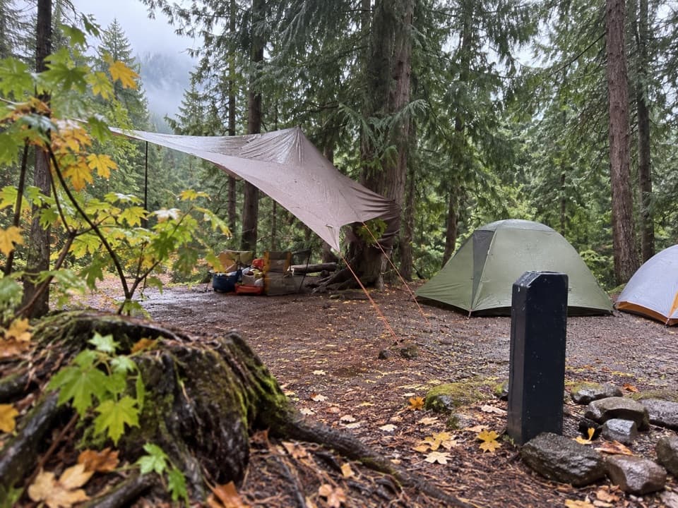 Campground · 8.3 mi awayFish Creek CampgroundA wooded west-side base with seasonal showers and Lake McDonald access.
 Sight · 8.3 mi awayRocky PointA short shore walk opens broad views across Lake McDonald.
 Picnic area · 8.4 mi awayFish Creek Picnic AreaA short stop for Lake McDonald’s rocky shore and picnic tables
 Campground · 8.4 mi awayQuartz Creek CampgroundA primitive North Fork base camp near the Lower Quartz Lake trail.
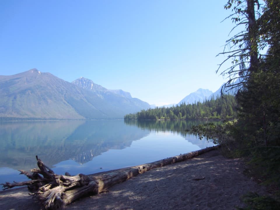 Picnic area · 9.1 mi awaySprague Creek Picnic AreaA Lake McDonald picnic stop off the Going-to-the-Sun Road.Campground · 9.2 mi awaySprague Creek CampgroundLake McDonald camping beneath cottonwoods, with some open shore views.
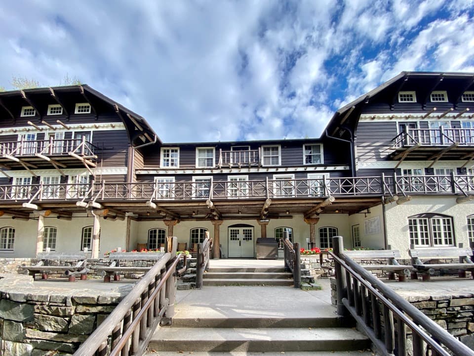 Sight · 9.2 mi awayLake McDonald LodgeA lakeside landmark for boat trips, meals, and its timbered lobby.
Parkwolf’s Glacier ranking

The audio tour guide for the drive, plus offline maps, trails, and wildlife heatmaps for when the signal drops.





