Parking
The Loop is the described day-hike access. Follow the Northern Highline to this remote spur junction; there is no roadside access at the junction. The 0.8-mile figure covers only the overlook spur.
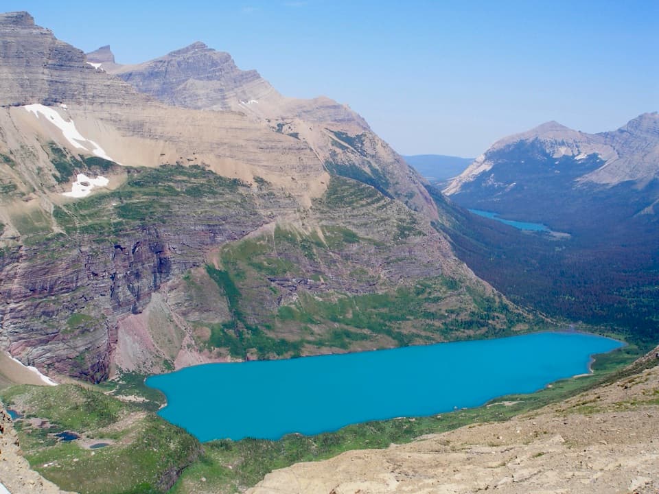
Glacier National Park, MT
A steep side trip to a high view of Helen Lake.
Overview
Map & elevation
Plan your hike

The highest, rockiest slopes around here are a summer buffet for grizzly bears.
Glacier Tour Guide
Parkwolf is a GPS audio tour guide for Glacier National Park. As you drive, it chimes in with what’s ahead: hidden gems, upcoming stops, history, geology, and wildlife, right through your car’s speakers.
See the Glacier audio tourMore stories near here in the app
“Our first time to glacier and we used the audio portion for Going to the Sun Road. Wonderful information with perfect advice of what to see and do along the road.”


Trail guide
Ahern Pass Overlook Trail is a short spur off the Northern Highline: about 0.4 mile each way, or 0.8 mile round trip. It climbs several hundred feet from the junction to a high overlook above Helen Lake, then returns the same way. Allow about an hour once you reach the junction. It is a rewarding detour if you are already hiking or backpacking the Northern Highline, but it is not a quick walk from a road. The 0.8 miles covers only the spur; the approach from The Loop is a much bigger day, and many hikers add it to a backcountry trip.
The path climbs through alpine terrain, with small subalpine fir among beargrass meadows and panoramic views opening as you gain height. The mapped spur is roughly four-tenths of a mile, but gains several hundred vertical feet; at about 7,000 feet, that is a real climb in a short distance. You return along the same path, so save energy for the uphill walk back to the Northern Highline.
From the overlook, waterfalls descend from Ahern Glacier, between Ipasha Peak and Ahern Peak, into Helen Lake. The lake is a headwater of the Belly River, and Elizabeth Lake appears farther down the forested valley. For a photo, keep Helen Lake below the layered cliffs and leave room for the distant valley; that shows the drop and the scale of the view.
The pass is named for Lieutenant George Patrick Ahern. In 1890, he and a squad of Buffalo Soldiers crossed it during an expedition searching for a route over the northern Rockies. They spent two days cutting a pack trail up the talus to the pass. Pets are not permitted on Glacier National Park trails.
Wildlife
 404 sightingsGrizzly BearMost seen around 6 AMSighting map
 11 sightingsWolverineMost seen around 8 PMSighting map
 1,173 sightingsMountain GoatMost seen around 6 AMSighting map
 1,000 sightingsBighorn SheepMost seen around 6 AMSighting map
 395 sightingsMooseMost seen around 6 AMSighting map
 506 sightingsBlack BearMost seen around 8 PMSighting map
Sighting maps show where each species has been reported across Glacier. Wildlife moves, so no sighting is guaranteed.
Keep exploring
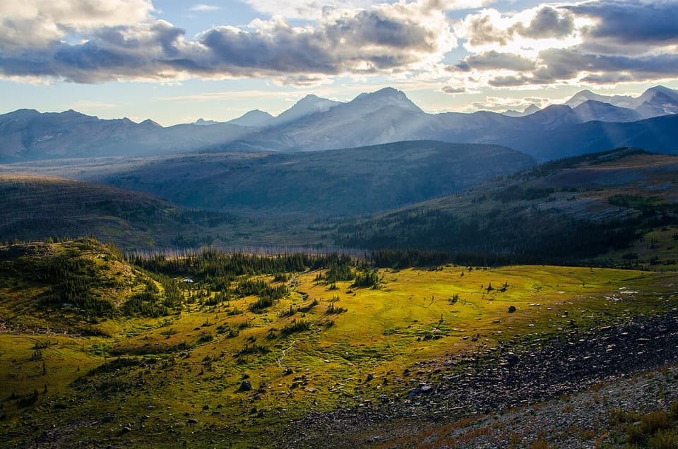 ChallengingNorthern Highline Trail11.9 mi · 9 hr · 3.4 mi awayA remote alpine traverse for a multi-day backcountry trip.
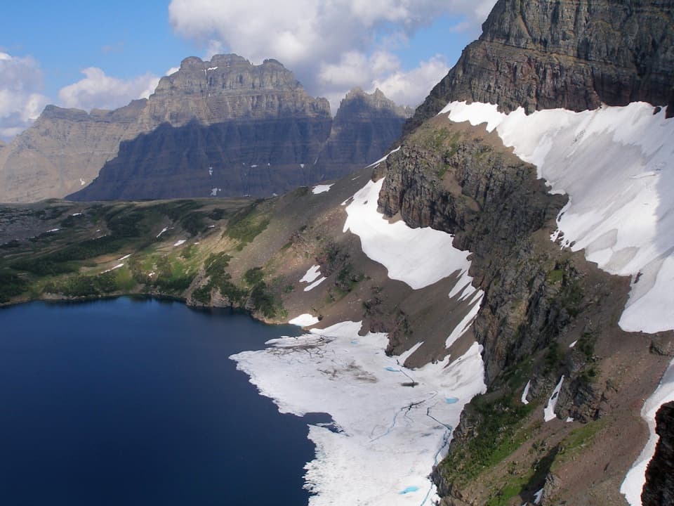 ModerateSue Lake Overlook Trail0.8 mi · 45 min · 4.1 mi awayA steep spur climbs to a high perch above Sue Lake.
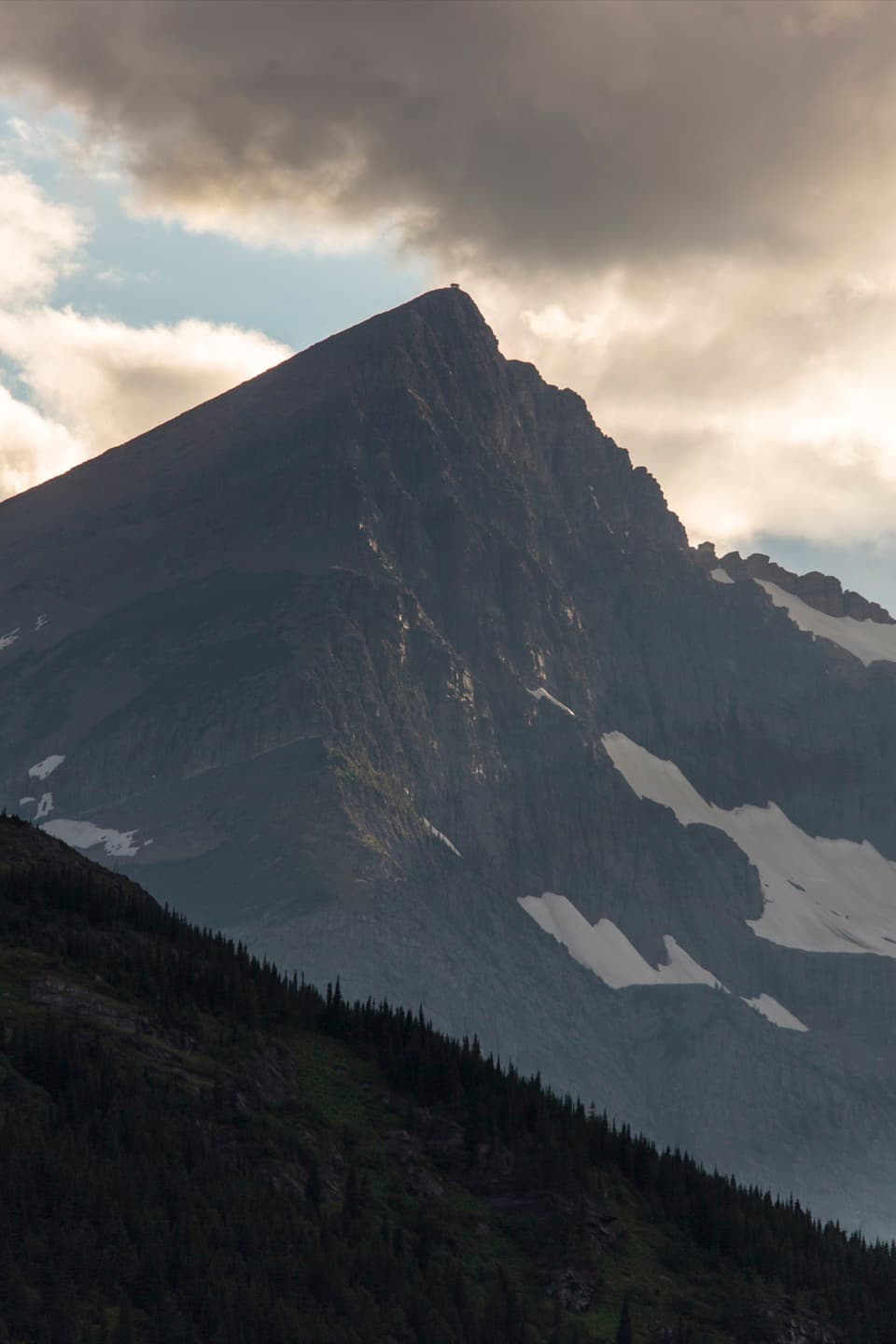 ChallengingSwiftcurrent Lookout Trail16.5 mi · 11 hr · 4.6 mi awayA big Many Glacier day ends at a historic summit lookout.
 ChallengingSwiftcurrent Pass Trail13.6 mi · 8.5 hr · 4.6 mi awayThree lakes first, then a rugged climb to the Continental Divide.
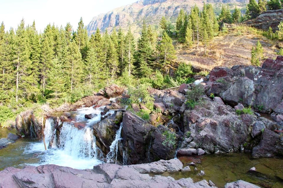 EasyRedrock Falls Trail3.6 mi · 2.3 hr · 4.6 mi awayA gentle lake walk ending at red-rock cascades.
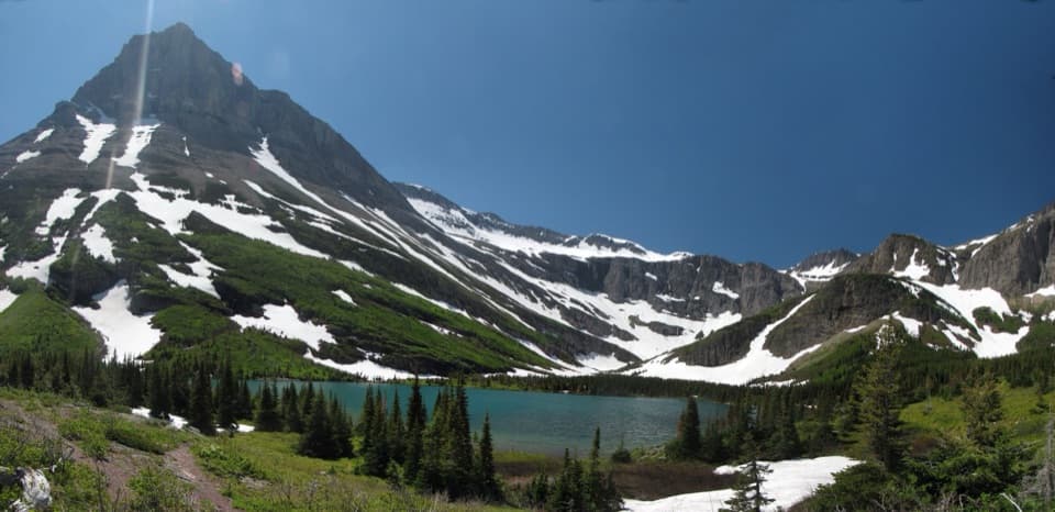 ModerateBullhead Lake Trail6.8 mi · 3.5 hr · 4.6 mi awayFishercap, Redrock and Bullhead Lakes, with cascading falls in between
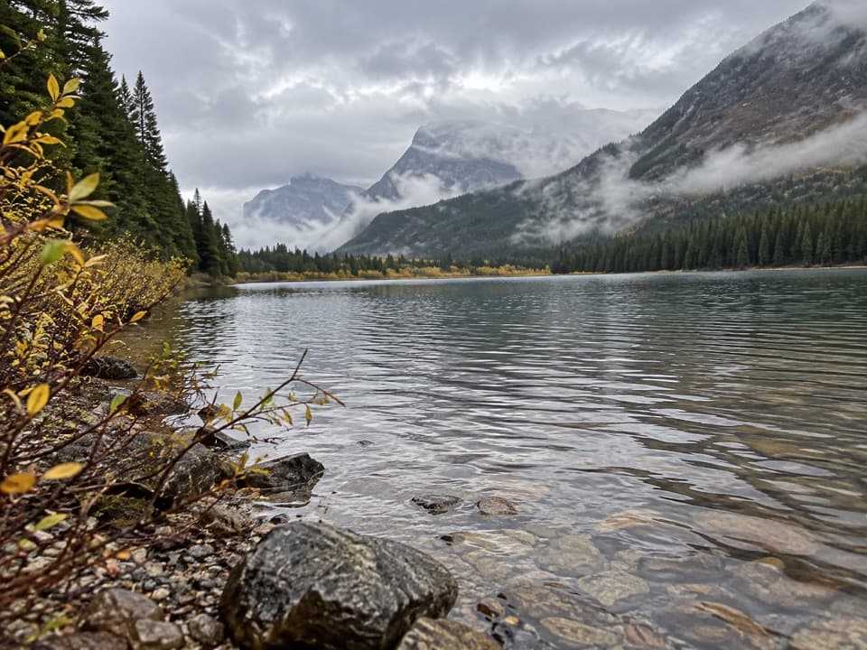 EasyFishercap Lake Trail0.6 mi · 30 min · 4.6 mi awayA short walk to a marshy lake where moose sometimes feed.
 ModerateIceberg Lake Trail9.6 mi · 6 hr · 4.6 mi awayA long valley walk ends at a turquoise lake beneath steep cliffs.
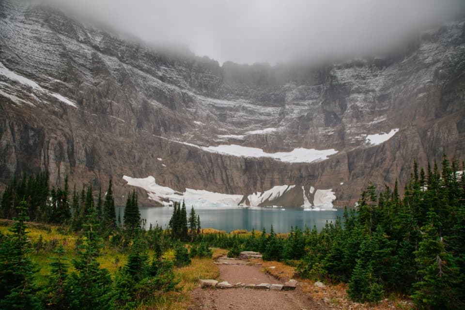 Sight · 1.5 mi awayIceberg LakeTurquoise water under sheer walls, sometimes still dotted with summer ice.
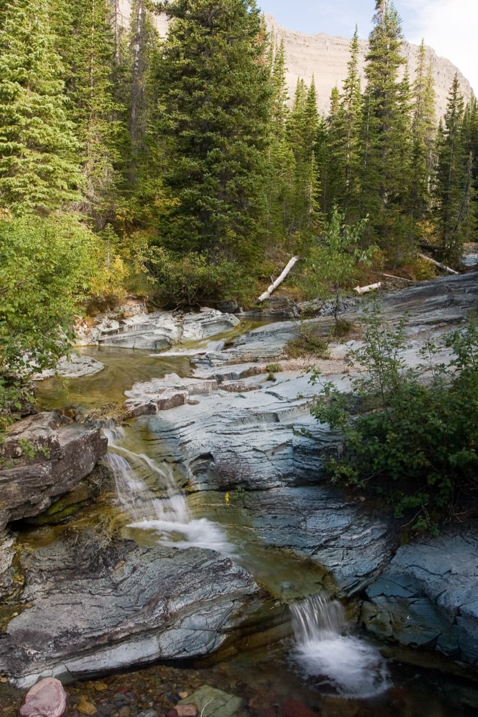 Sight · 2.8 mi awayPtarmigan FallsA waterfall break on the long hike toward Iceberg Lake.
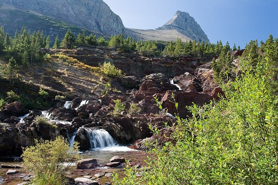 Sight · 3.3 mi awayRedrock FallsA shaded walk opens onto red-rock cascades and a mountain lake.
 Lodging · 3.4 mi awayGranite Park ChaletA rare 1914 chalet worth the hike if you're staying overnight.
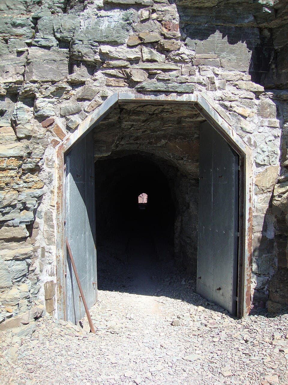 Sight · 3.7 mi awayPtarmigan TunnelA historic tunnel with a long climb and a sudden new view.
 Sight · 4.2 mi awayGrinnell Glacier OverlookA steep ridge spur above Grinnell's shrinking glacier.
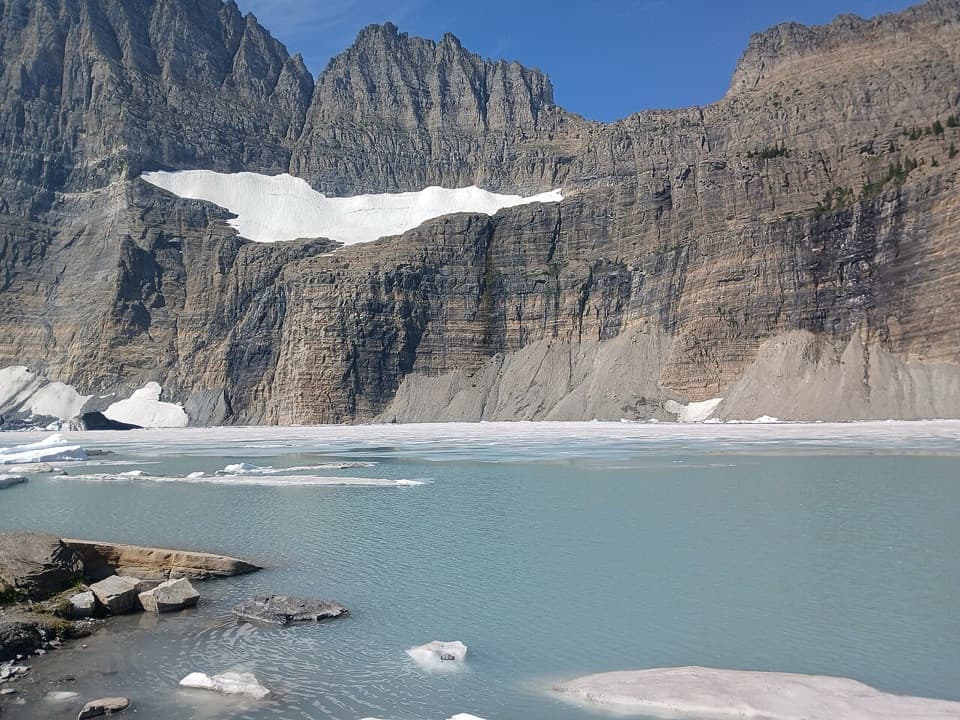 Sight · 4.6 mi awayGrinnell Glacier ViewpointA steep hike ends above turquoise water and a glacier.
 Sight · 4.6 mi awayThe LoopThe Sun Road's only west-side switchback, framed by Heavens Peak.
Parkwolf’s Glacier ranking

The audio tour guide for the drive, plus offline maps, trails, and wildlife heatmaps for when the signal drops.




