Parking
Park at Yarram Gap Road Trailhead and arrange a start-to-finish vehicle shuffle to Griffin Trailhead, or use a licensed operator for transport.
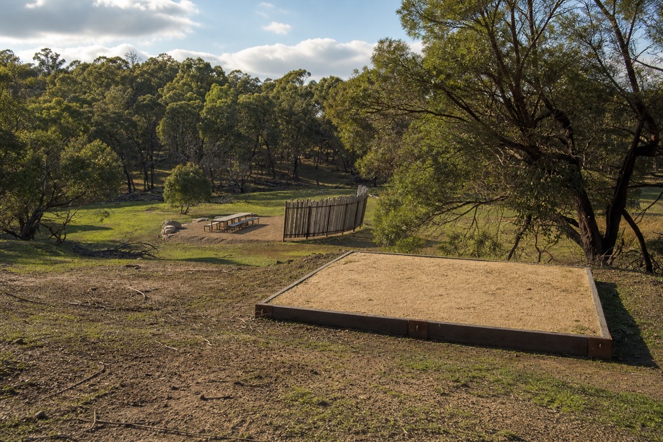
Grampians National Park, VIC
Six knolls, wetland edges, and one night in a quiet grassy gully
Overview
Map & elevation
Plan your hike

The highest, rockiest slopes around here are a summer buffet for grizzly bears.
Grampians Tour Guide
Parkwolf is a GPS audio tour guide for Grampians National Park. As you drive, it chimes in with what’s ahead: hidden gems, upcoming stops, history, geology, and wildlife, right through your car’s speakers.
Recorded for this trailhead
Yarram Gap: The Wannon Overnight Walk“Ahead is Yarram Gap Road Trailhead, the start of the two-day Wannon overnight walk to Griffin Trailhead. Book the Wannon hike-in camp and arrange transport between the two ends before setting out.”
Plays as you drive up to this trailhead in the Parkwolf Grampians Tour Guide.
More stories near here in the app
“Fantastic app with many points of information… It’s great to just turn on while you’re driving and it gives you an audio tour of the national Park. We love it!!!!”


Trail guide
Point to point, 12.1 km one way (distances here are one way, not a return loop), from Yarram Gap Road Trailhead to Griffin Trailhead via Wannon Hike-in Campground. It is a Grade 4, hard walk, and most people spend about 7 hours of total walking time split across two days with a night at the campground in between.
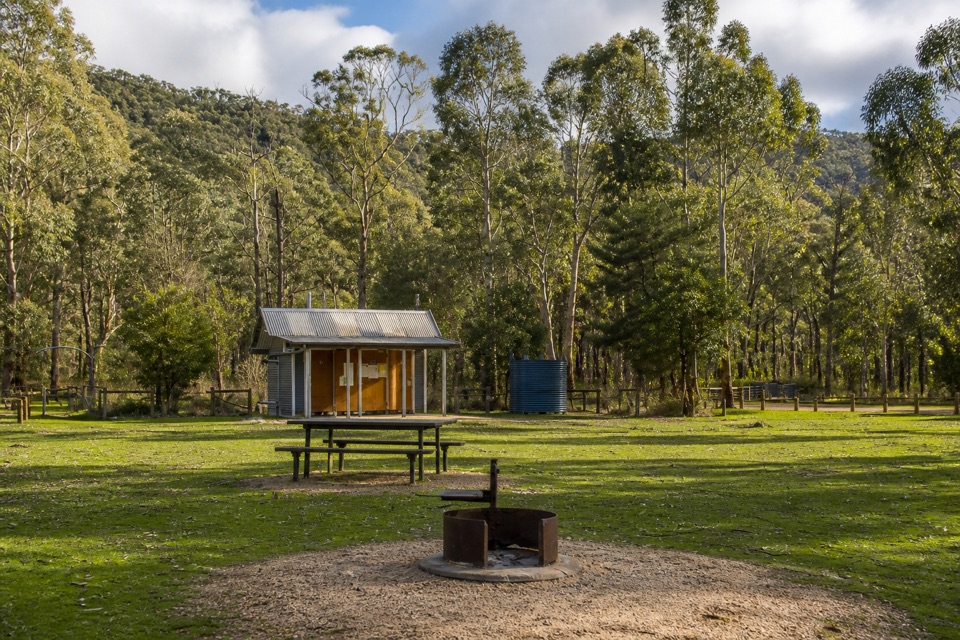
Day 1: Yarram Gap Road Trailhead to Wannon Hike-in Campground, 6.5 km. The track runs parallel to the road through Callitris forest, climbs to a ridgeline, then rolls up and down through six knolls and saddles with wetlands out to the east. It drops down a spur into taller forest, opens into grassland and arrives at camp, a reclaimed farmland gully ringed by ridges.
Day 2: Wannon Hike-in Campground to Griffin Trailhead, 5.6 km. You cross the Wannon River, pass through swampy river flats and heathy understorey, meet Grampians Tourist Road, then climb gently through sandy heathy forest for the final 2.6 km to Griffin Trailhead.
Expect uneven ground, steep track sections and a steep descent off the ridge, plus slippery rocks when wet. The repeated knolls and saddles on day 1 are the real work: no single big climb, just constant short ups and downs with a full overnight pack. Day 2 is easier walking, though the swampy flats can be soft underfoot.
The two trailheads are far apart, so you need a start-to-finish vehicle shuffle unless a licensed operator handles your transport. Build that time into the day you start, not the day you finish.
Durable warnings for this section include heat exhaustion, no mobile phone reception, falling limbs and trees, steep and slippery sections, uneven ground and snakes. Heat is the main limiting factor on the exposed ridgeline, so start early and carry plenty of water. Watch your footing on the descents, and stay alert to falling limbs and trees where the track runs through forest.
This is rugged southern Grampians country: open grassland, wetlands to the east, heathy understorey, eucalyptus woodland and wildflowers in season. The ridges surrounding the camp offer sunset views, which is the best photographic moment of the trip. There are no big named lookouts along the way, so treat it as a quiet, immersive overnight rather than a summit walk.
This route is the Wannon overnight section only, from Yarram Gap Road Trailhead to Griffin Trailhead with a single night at Wannon. If you want more time on the trail, the three-day Yarram to Wannon itinerary of the Grampians Peaks Trail adds the preceding stage into Yarram Hike-in Campground and another night on the track, covering similar country at a slower pace. For a much shorter outing with no shuffle and no booking, a standalone day walk elsewhere in the park will suit better than trimming this route.
Wildlife
 157 sightingsShort-beaked EchidnaMost seen around 6 PMSighting map
 37 sightingsPowerful OwlMost seen around 6 PMSighting map
 59 sightingsWedge-tailed EagleMost seen around 11 AMSighting map
 24 sightingsEastern Brown SnakeMost seen around 11 AMSighting map
 10 sightingsTiger SnakeMost seen around noonSighting map
 29 sightingsRed-bellied Black SnakeMost seen around 11 AMSighting map
Sighting maps show where each species has been reported across Grampians. Wildlife moves, so no sighting is guaranteed.
Keep exploring
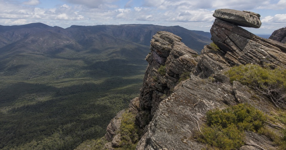 ChallengingYarram-Wannon Multi-day Hike24 km · 12 hr · 8.4 km awayThree days over six knolls to Serra Range views and hike-in campsChallengingYarram Overnight Hike12.6 km · 6 hr · 8.4 km awayRidge climb to a high saddle camp, then a steep gully descent
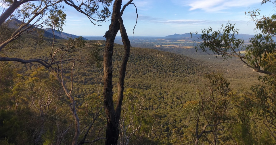 ModerateTeddy Bear Gap Loop Walk7.4 km · 2.5 hr · 8.4 km awayClimb to Serra Range views, then quiet gravel roads back to camp
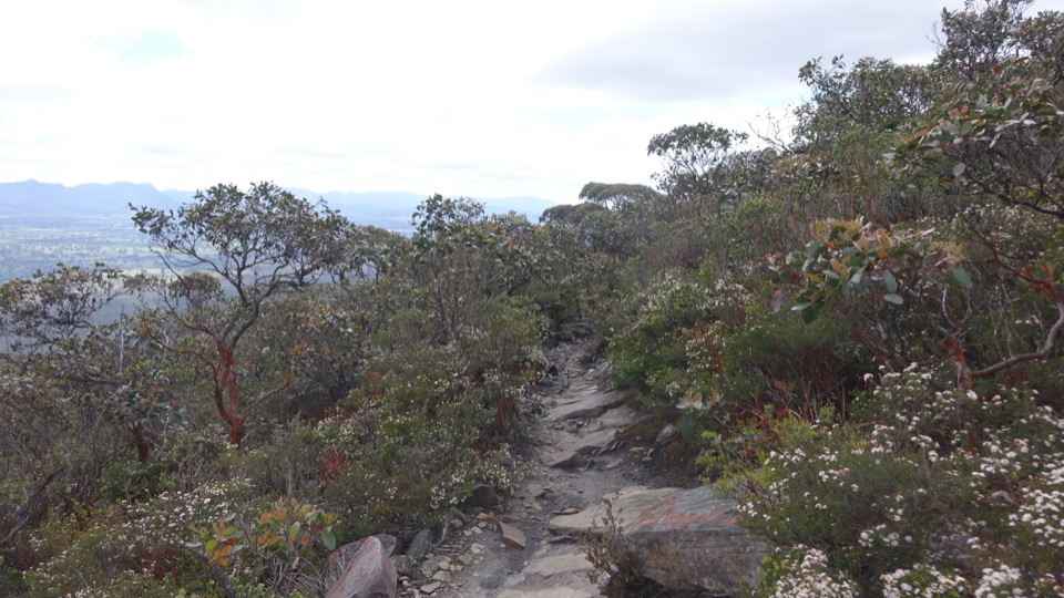 ChallengingDjardji-djawara and Mud-dadjug 3-day Hike33.4 km · 18 hr · 9.1 km awaySkyline traverse over Signal Peak and Mt Abrupt, finishing in Dunkeld
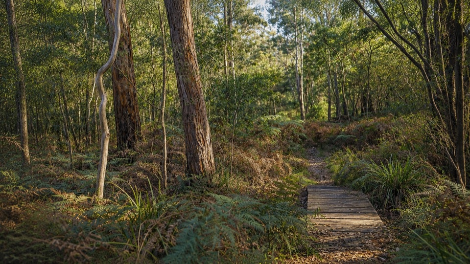 EasyMafeking Brownings Loop Walk2 km · 1 hr · 12.5 km awayGentle 2 km bush circuit past old gold shafts and worked gullies
 ChallengingMud-Dadjug Overnight Hike22.1 km · 17 hr · 16.9 km awayRidge summits, a hike-in camp, then Red Gum woodland into Dunkeld
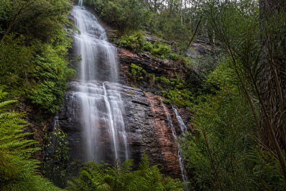 ModerateKalymna Falls Walk3.2 km · 2 hr · 18.3 km awayRocky uphill track to a shaded seasonal waterfall baseChallengingMt Abrupt (Mud-dadjug) Walk6.5 km · 3 hr · 19.5 km awayA steep sandstone climb to ridge-top views over the Serra Range
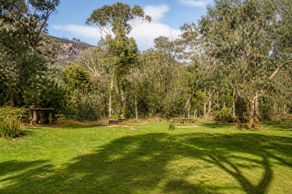 Campground · 1.4 km awayWannon Crossing CampgroundA quiet riverside camp beneath eucalyptus and mountain views
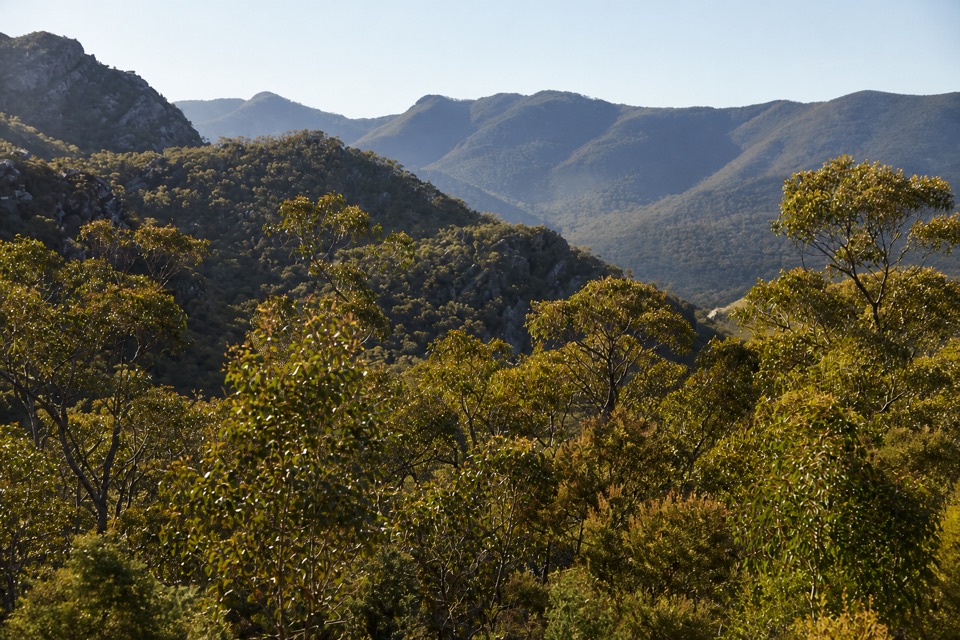 Scenic pullout · 3.1 km awayMirranatwa Gap LookoutA quick roadside view across rugged southern ranges
 Campground · 8.4 km awayJimmy Creek CampgroundA quiet Wannon River base for bush camping and Teddy Bear Gap
Parkwolf’s Grampians ranking

The audio tour guide for the drive, plus offline maps, trails, and wildlife heatmaps for when the signal drops.




