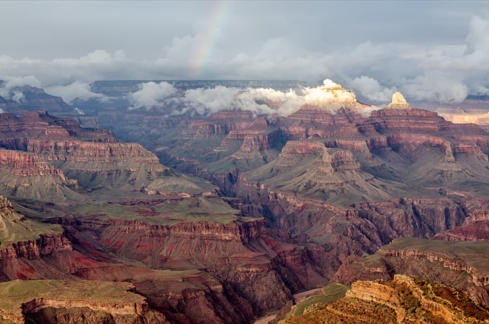
Bright Angel Point in Grand Canyon National Park

#8 of 58 sights in Grand Canyon

Sight · Grand Canyon National Park

Bright Angel Point

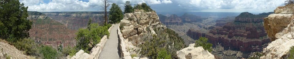
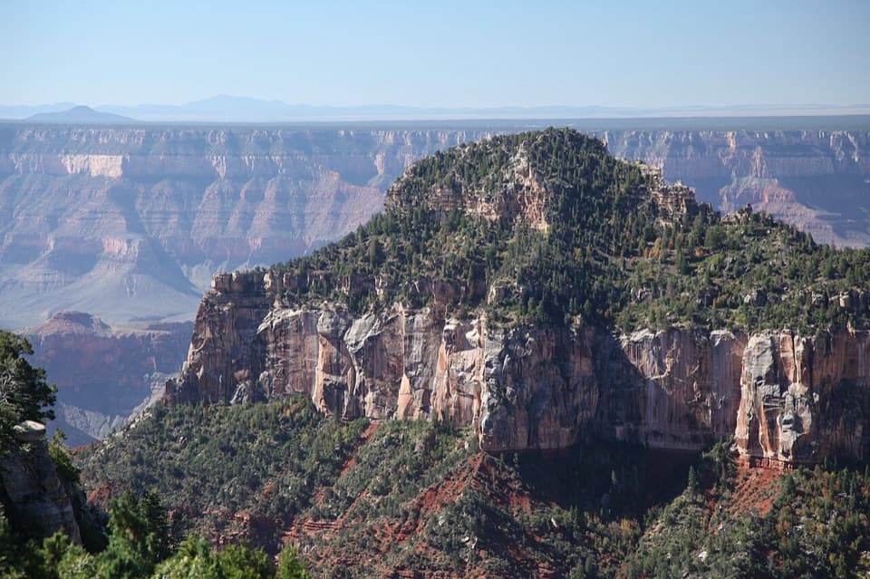
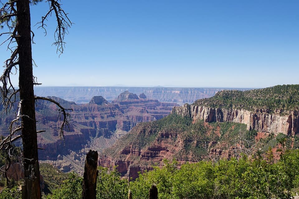
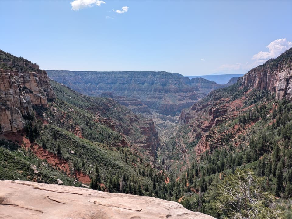
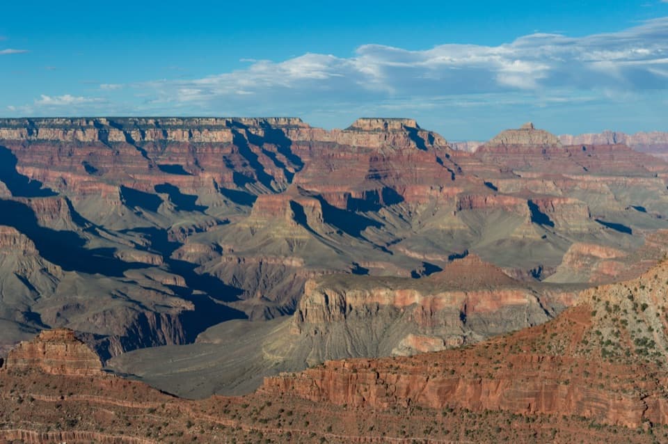
A high rim panorama framed by the canyon’s temple buttes.

Photo: Wikimedia Commons
Type
Sight
Nearest trail
0.2 mi
Audio stories
3 nearby
  • Scenic viewpoint

Hear the audio tour

Bright Angel Point’s Ridge Walk

Overview

About Bright Angel Point

Why stop

  • A sweeping inner-canyon view from a distinctive rocky spur

Heads up

  • The traditional ridge walk is narrow, steep, and exposed

Map

Where it is

Loading the Grand Canyon map
Full map
SightBright Angel Point36.19351, -112.04866
Keep this map with you offline in the Parkwolf app

Plan your stop

Before you go

4 active Grand Canyon alerts

  • ClosureInner Canyon and North Rim trail closuresMentions this placeDo not enter the closed trails, bridges, campgrounds, and inner-canyon areas.Official details
  • ClosureNorth Rim scenic roads closed for repairsMentions North Rim, referenced in this guideCape Royal Road and Point Imperial Road are closed from sunset October 15 through sunrise November 3, 2026. - The roads are closed to accommodate critical road repair and rehabilitation work.Official details

See all 4 alerts
A park ranger sits on a dash-mounted phone, talking, as Parkwolf’s Tour Guide plays “Army Cutworm Moths: A Grizzly Bear Buffet” on Grand Loop Road below Dunraven Pass in Yellowstone
Parkwolf Tour GuideThe highest, rockiest slopes around here are a summer buffet for grizzly bears.

Grand Canyon Tour Guide

Your drive to Bright Angel Point, narrated.

Parkwolf is a GPS audio tour guide for Grand Canyon National Park. As you drive, it chimes in with what’s ahead: hidden gems, upcoming stops, history, geology, and wildlife, right through your car’s speakers.

See the Grand Canyon audio tour

Recorded for this place

Bright Angel Point’s Ridge Walk
0:00 / 0:29
“You're nearing the approach to Bright Angel Point, a short ridge walk with a big view of the canyon's temple-shaped buttes.”

Plays as you drive up to Bright Angel Point in the Parkwolf Grand Canyon Tour Guide.

More stories near here in the app

  • North Rim Campground and Transept Walks
  • North Kaibab Trailhead
  • Widforss Trail’s Forest and Canyon
  • The Bird with a Seed Stash
  • 79 audio storiesacross Grand Canyon’s roads, triggered by GPS as you drive
  • Wildlife heatmapsfor California Condor, Bighorn Sheep, American Bison, and 13 more
  • Works offlinemaps, 73 trails, 96 places, and audio download before you lose signal
  • CarPlay readysimple controls built for the drive
★★★★★
“Fantastic app with many points of information… It’s great to just turn on while you’re driving and it gives you an audio tour of the national Park. We love it!!!!”
JMJamesApp Store review
Download Parkwolf on the App StoreGet Parkwolf on Google Play

4.7 from 8,600+ ratings

Guide

More about Bright Angel Point

A high rim spurBright Angel Point is a rocky promontory on the Grand Canyon’s North Rim, 8,148 feet above sea…

Bright Angel Point is a rocky promontory on the Grand Canyon’s North Rim, 8,148 feet above sea level. The traditional approach follows the short, paved Bright Angel Point Trail along a narrow, exposed ridge, with about 200 feet of climbing. Check current trail status before planning to walk it; this is not a drive-up overlook.

Look across the canyonThe view changes as the point reaches out over the canyon.

The view changes as the point reaches out over the canyon. East is Roaring Springs Canyon, west is The Transept, and southeast are Deva, Brahma, and Zoroaster Temples. The Colorado River is hidden behind the inner-canyon buttes. For a photograph, use pale rim rock in the foreground and let low-angle light pick out the temples.

Plan it as a viewpointBring food and water rather than expecting a stop with services.

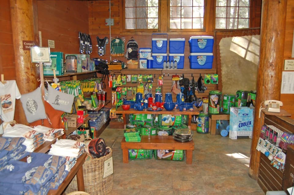
Bring food and water rather than expecting a stop with services. The former Grand Canyon Lodge and North Rim Visitor Center near the trailhead were destroyed in the 2025 Dragon Bravo Fire, so older descriptions of nearby meals, restrooms, and visitor services may no longer apply. Check the park’s current access and facilities information before setting out.

Read the rockThe point sits on the Kaibab Plateau, about 1,000 feet higher than the South Rim.

The point sits on the Kaibab Plateau, about 1,000 feet higher than the South Rim. Along the historic trail, pale rock exposes marine fossils, including crinoids noted on the old trail map. The canyon’s layered rocks record almost two billion years of earth history; the Colorado River carved about a mile of depth over roughly five million years.

A name carried upriverIn 1869, Major John Wesley Powell named a clear-water creek “Bright Angel,” contrasting it with…

In 1869, Major John Wesley Powell named a clear-water creek “Bright Angel,” contrasting it with the muddy Dirty Devil and drawing on the angelic counterpoint in Milton’s Paradise Lost. The name later spread to the point and several other Grand Canyon landmarks.

A century of North Rim visitorsTourist businesses gathered near the point around 1900, and a road reached it in 1917.

Tourist businesses gathered near the point around 1900, and a road reached it in 1917. The first Grand Canyon Lodge opened in 1928, designed by Gilbert Stanley Underwood to fit the rim. It burned in 1932, was rebuilt with more stone and steeper roofs, and was destroyed again in the 2025 fire. The natural promontory remains distinct from that lost visitor complex.

Wildlife

Wildlife in Grand Canyon

All Grand Canyon wildlife maps

Sighting maps show where each species has been reported across Grand Canyon. Wildlife moves, so no sighting is guaranteed.

Keep exploring

Near Bright Angel Point

See it all on the map

Trails nearby

More stops nearby

Parkwolf’s Grand Canyon ranking

Top sights in Grand Canyon

All 96 places
  1. 1Mather PointSight
  2. 2Desert View WatchtowerSight
  3. 3Yavapai Geology MuseumSight
  4. 4Hopi PointSight
  5. 5Toroweap OverlookSight
  6. 6Point ImperialSight

Take Parkwolf to Grand Canyon.

The audio tour guide for the drive, plus offline maps, trails, and wildlife heatmaps for when the signal drops.

4.7 from 8,600+ ratings

Download Parkwolf on the App StoreGet Parkwolf on Google Play