Parking
There is no vehicle access. Start at Cottonwood Campground on the North Kaibab Trail; reaching camp requires an inner-canyon hike. Overnight stays at the campground require a backcountry permit.
Grand Canyon National Park, AZ
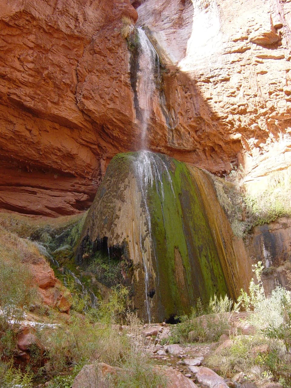
A short inner-canyon walk to a spring-fed travertine waterfall
Overview
Map & elevation
Plan your hike

The highest, rockiest slopes around here are a summer buffet for grizzly bears.
Grand Canyon Tour Guide
Parkwolf is a GPS audio tour guide for Grand Canyon National Park. As you drive, it chimes in with what’s ahead: hidden gems, upcoming stops, history, geology, and wildlife, right through your car’s speakers.
See the Grand Canyon audio tourMore stories near here in the app
“Fantastic app with many points of information… It’s great to just turn on while you’re driving and it gives you an audio tour of the national Park. We love it!!!!”


Trail guide
This is a 3.2-mile out-and-back from Cottonwood Campground on the North Kaibab Trail, about 1.6 miles each way to Ribbon Falls. It is a compact side trip for visitors already below the rim; the much longer approaches from Phantom Ranch or Bright Angel Campground are separate route variants. The path drops about 360 feet to the falls, then climbs back to camp. Allow roughly 2 to 2.5 hours, including a stop at the water.
Stay on the established trail until the Ribbon Falls spur. The route follows Bright Angel Canyon to the waterfall and returns the same way. This is a short distance by inner-canyon standards, but it still starts below the rim and has no road access.
Spring water spills over a mossy travertine mound into pools below. The rounded mineral formation is the striking part of the scene as much as the cascade itself. A wider view can fit the falls, green mound and red-rock alcove together. Published height estimates disagree, so the description leaves out a number.
For the A:shiwi (Zuni), Ribbon Falls is a sacred place of emergence. Leave the pools and travertine untouched; the National Park Service asks visitors to take nothing and leave nothing.
Cottonwood Campground is a below-rim start reached on foot, not a drive-up trailhead. Overnight camping there requires a Grand Canyon backcountry permit; a permit is not required for day hiking. The campground has toilets and seasonal water, usually from mid-May to mid-October. There is no water or toilet facility at the falls, so plan for the return before leaving camp.
Wildlife
 718 sightingsCalifornia CondorMost seen around 5 PMSighting map
 533 sightingsBighorn SheepMost seen around 7 AMSighting map
 169 sightingsAmerican BisonMost seen around 7 PMSighting map
 1,891 sightingsElkMost seen around 6 AMSighting map
 59 sightingsCoyoteMost seen around 6 PMSighting map
 27 sightingsGray FoxMost seen around 6 AMSighting map
Sighting maps show where each species has been reported across Grand Canyon. Wildlife moves, so no sighting is guaranteed.
Keep exploring
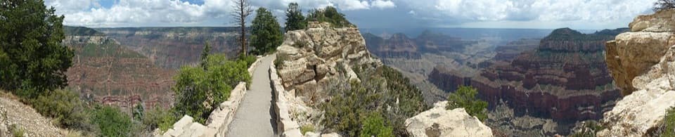 EasyBright Angel Point Trail0.5 mi · 30 min · 1.9 mi awayA half-mile to a narrow, exposed point over the canyon
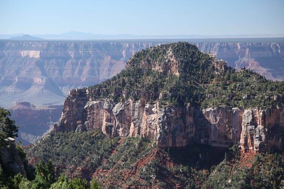 ModerateTransept Trail2 mi · 1.5 hr · 3.3 mi awayFollow pine shade to overlooks above a deep side canyon.
 ChallengingRim-to-Rim: North Kaibab to Bright Angel23.5 mi · 16 hr · 3.4 mi awayA point-to-point crossing from North Rim forest to the South Rim.
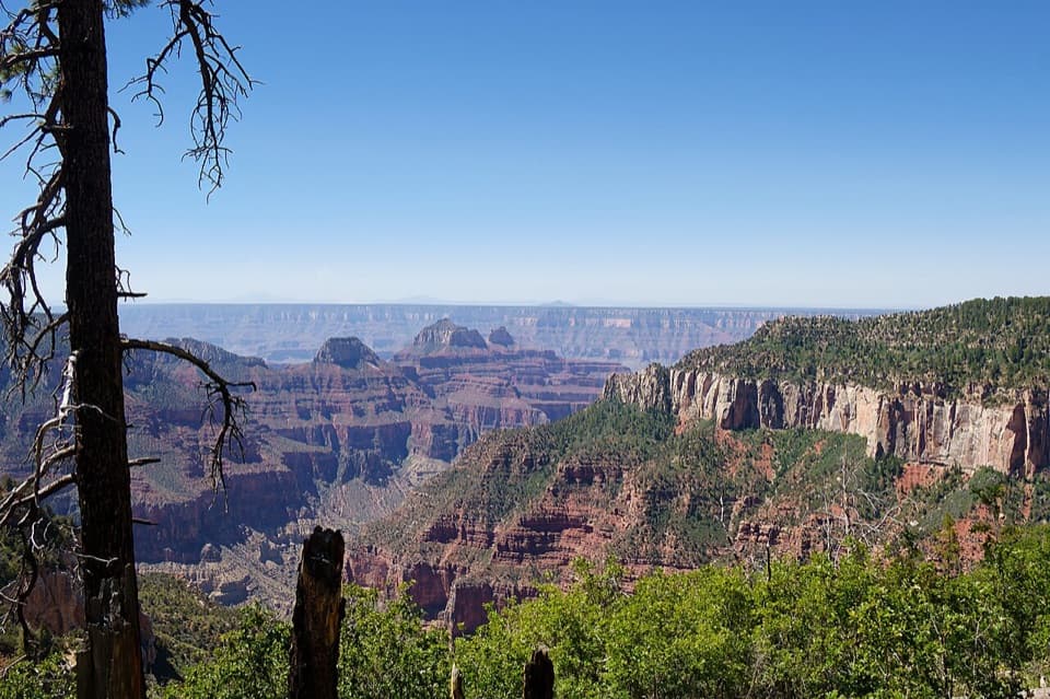 ModerateUncle Jim Trail4.7 mi · 3 hr · 3.4 mi awayA forest loop with a wide view down Bright Angel Canyon.
 EasyBridle Path1.6 mi · 1 hr · 3.4 mi awayA short, hard-packed connector from North Kaibab to the former lodge lot.
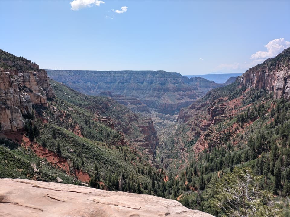 ChallengingNorth Kaibab Trail14.2 mi · 10.5 hr · 3.4 mi awayA steep, forested 14.2-mile descent to the Colorado River.
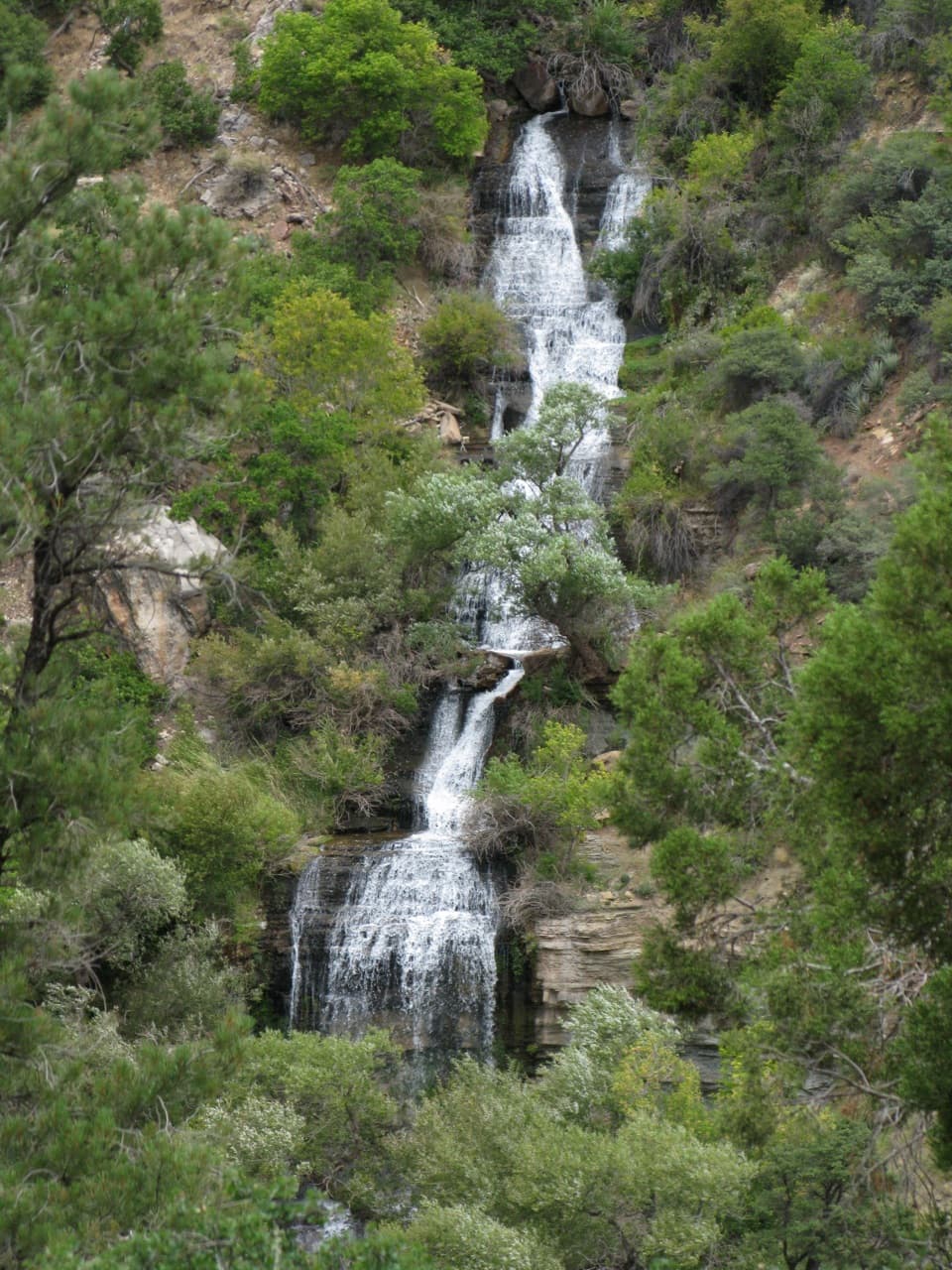 ChallengingRoaring Springs Trail9.4 mi · 7.5 hr · 3.4 mi awayA strenuous North Rim descent reaches a spring pouring from the cliffs.
 ChallengingOld Bright Angel Trail Loop14 mi · 11 hr · 3.4 mi awayAn overgrown canyon loop for hikers comfortable finding their own way.
 Campground · At the trailheadCottonwood CampgroundSleep beneath the canyon walls beside Bright Angel Creek.
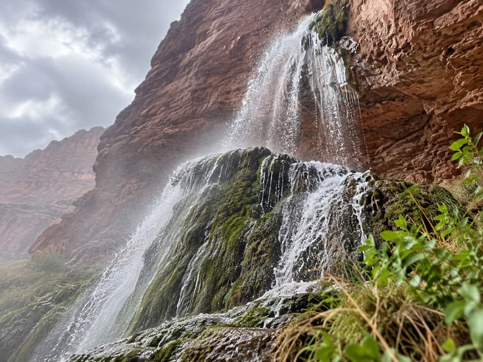 Sight · 1.1 mi awayRibbon FallsA shaded waterfall and pool deep in the inner canyon.
 Sight · 1.7 mi awayBright Angel PointA high rim panorama framed by the canyon’s temple buttes.
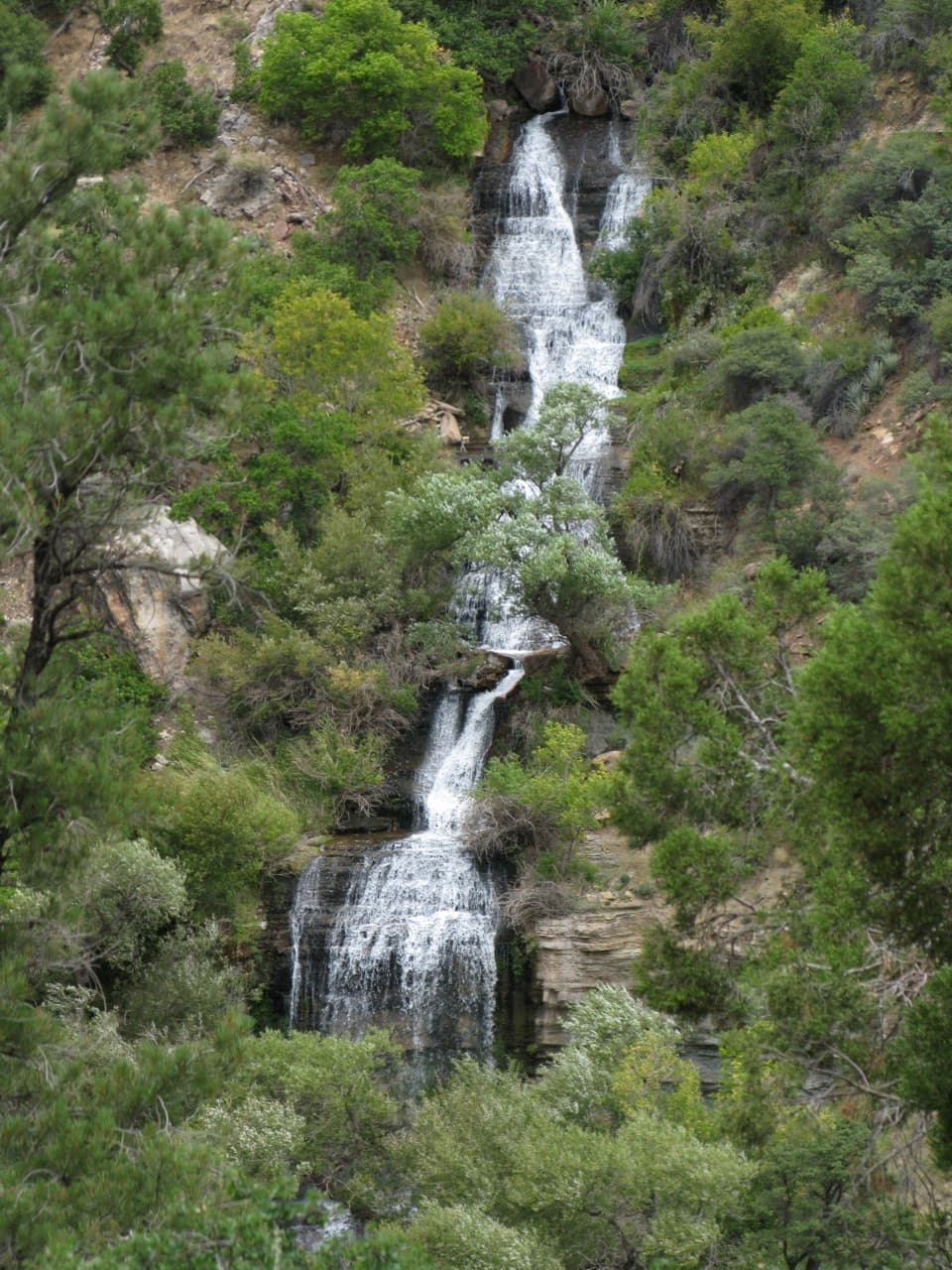 Sight · 1.8 mi awayRoaring SpringsA lush waterfall at the end of a steep canyon hike.
 Sight · 2.9 mi awaySupai TunnelA four-mile hike to a tunnel framing streaked sandstone.
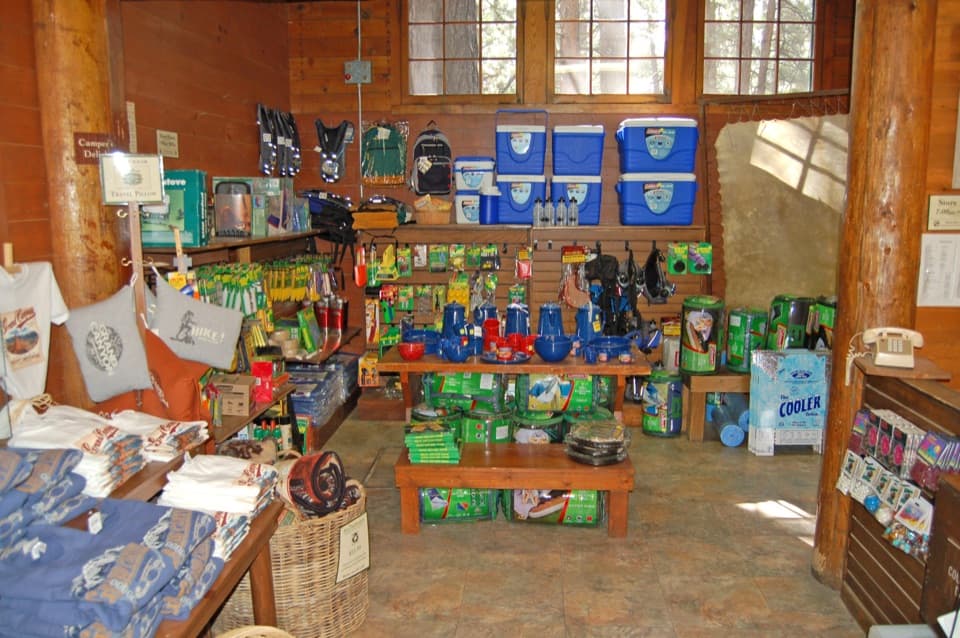 Store · 3 mi awayNorth Rim General StoreA seasonal shop for campground supplies and trail snacks.
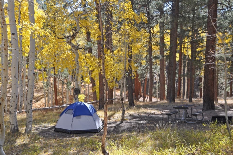 Campground · 3 mi awayNorth Rim CampgroundA forested base for a North Rim stay.
 Gas station · 3.1 mi awayNorth Rim Service StationA seasonal fill-up just beyond the campground turn.
Parkwolf’s Grand Canyon ranking

The audio tour guide for the drive, plus offline maps, trails, and wildlife heatmaps for when the signal drops.



