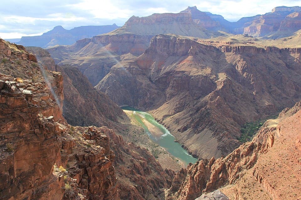
Parking
Start at North Kaibab Trailhead parking. Vehicles longer than 22 feet use the oversized lot near the former Grand Canyon Lodge.
Grand Canyon National Park, AZ
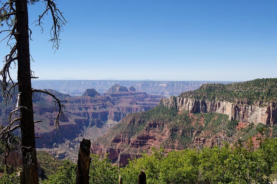
A forest loop with a wide view down Bright Angel Canyon.
Overview
Map & elevation
Plan your hike

The highest, rockiest slopes around here are a summer buffet for grizzly bears.
Grand Canyon Tour Guide
Parkwolf is a GPS audio tour guide for Grand Canyon National Park. As you drive, it chimes in with what’s ahead: hidden gems, upcoming stops, history, geology, and wildlife, right through your car’s speakers.
See the Grand Canyon audio tourRecorded for this trailhead
North Kaibab Trailhead“You're approaching North Kaibab Trailhead, where steep switchbacks descend through fir and aspen into Roaring Springs Canyon.”
Plays as you drive up to this trailhead in the Parkwolf Grand Canyon Tour Guide.
More stories near here in the app
“Fantastic app with many points of information… It’s great to just turn on while you’re driving and it gives you an audio tour of the national Park. We love it!!!!”


Trail guide
Uncle Jim Trail is a 4.7-mile loop from North Kaibab Trailhead parking. It follows Ken Patrick Trail through the North Rim forest before circling to Uncle Jim Point. The route passes ponderosa pine and Douglas-fir, with occasional aspen; the canyon views build toward the point rather than appearing every few minutes. I’d choose it for a forest walk with a big finish above Bright Angel Canyon.
The point looks over Bright Angel Canyon and into Roaring Springs Canyon. From the overlook, you can pick out the North Kaibab Trail winding down below the rim. This is the stop to slow down for: include some of that trail in a canyon photo so the drop into the canyon reads in the frame.
Count the full Ken Patrick approach, the Uncle Jim loop, and its return connector in the 4.7 miles. Allow about three hours. It is an unpaved route with rolling ups and downs; most of the walk is forest, so the view is concentrated near the point. The route stays high on the North Rim rather than descending into the canyon.
The trail honors James T. “Uncle Jim” Owens, a game warden hired by Theodore Roosevelt in 1906. Owens is credited with killing 532 mountain lions on the North Rim. It is a grim piece of predator-control history, but it explains the name you will see on the map.
Begin at the North Kaibab Trailhead parking area. Vehicles longer than 22 feet use the oversized lot near the former Grand Canyon Lodge. The route sits around 8,300 feet, so its altitude adds effort to the 4.7 miles despite the modest climb. Leashed pets are allowed on trails above the rim; keep back from the unprotected canyon edge at Uncle Jim Point.
Wildlife
 718 sightingsCalifornia CondorMost seen around 5 PMSighting map
 533 sightingsBighorn SheepMost seen around 7 AMSighting map
 169 sightingsAmerican BisonMost seen around 7 PMSighting map
 1,891 sightingsElkMost seen around 6 AMSighting map
 59 sightingsCoyoteMost seen around 6 PMSighting map
 27 sightingsGray FoxMost seen around 6 AMSighting map
Sighting maps show where each species has been reported across Grand Canyon. Wildlife moves, so no sighting is guaranteed.
Keep exploring
 EasyBridle Path1.6 mi · 1 hr · At the trailheadA short, hard-packed connector from North Kaibab to the former lodge lot.
 ChallengingRim-to-Rim: North Kaibab to Bright Angel23.5 mi · 16 hr · At the trailheadA point-to-point crossing from North Rim forest to the South Rim.
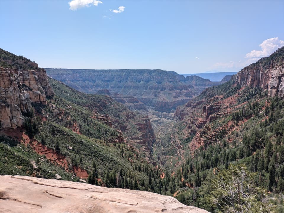 ChallengingNorth Kaibab Trail14.2 mi · 10.5 hr · At the trailheadA steep, forested 14.2-mile descent to the Colorado River.
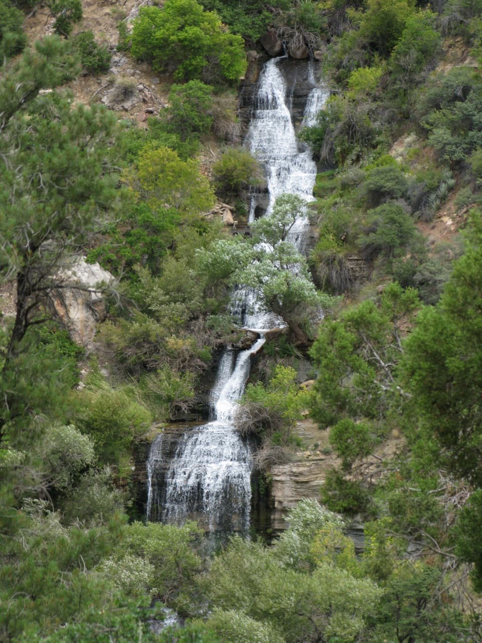 ChallengingRoaring Springs Trail9.4 mi · 7.5 hr · At the trailheadA strenuous North Rim descent reaches a spring pouring from the cliffs.
 ChallengingOld Bright Angel Trail Loop14 mi · 11 hr · At the trailheadAn overgrown canyon loop for hikers comfortable finding their own way.
 ModerateArizona Trail Passage 39: Grand Canyon – North Rim12 mi · 6.5 hr · At the trailheadA high forest traverse with a canyon overlook at the North Rim
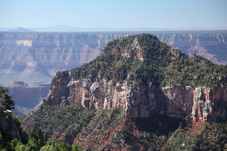 ModerateTransept Trail2 mi · 1.5 hr · 0.2 mi awayFollow pine shade to overlooks above a deep side canyon.
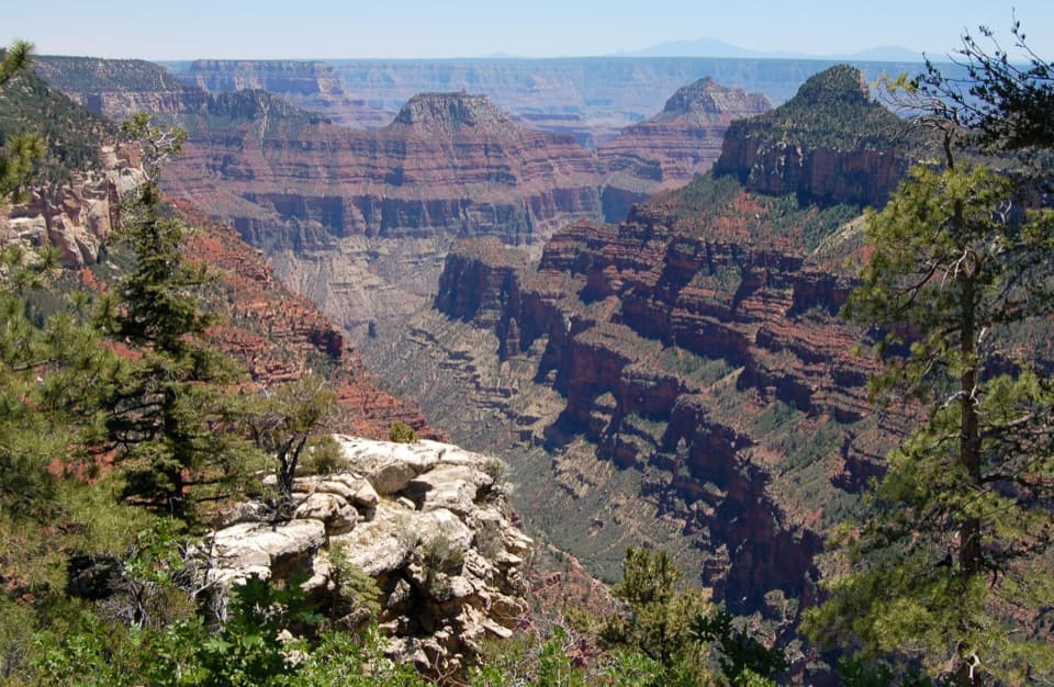 ModerateWidforss Trail10 mi · 6 hr · 0.7 mi awayForest miles open into wide canyon views at Widforss Point.
 Sight · 0.2 mi awayCoconino OverlookA steep 1.4-mile out-and-back earns a Roaring Springs Canyon view.
 Gas station · 0.3 mi awayNorth Rim Service StationA seasonal fill-up just beyond the campground turn.
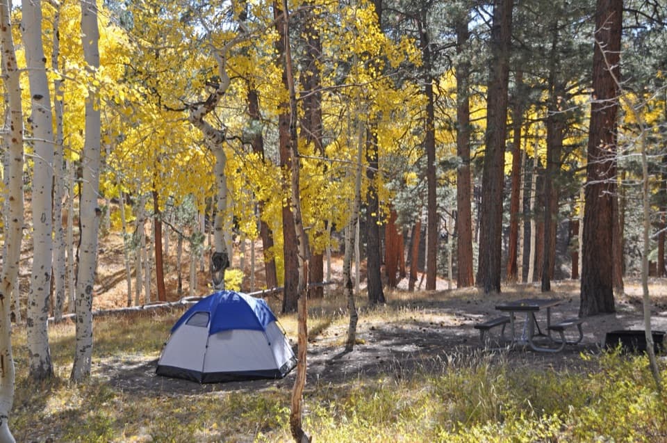 Campground · 0.5 mi awayNorth Rim CampgroundA forested base for a North Rim stay.
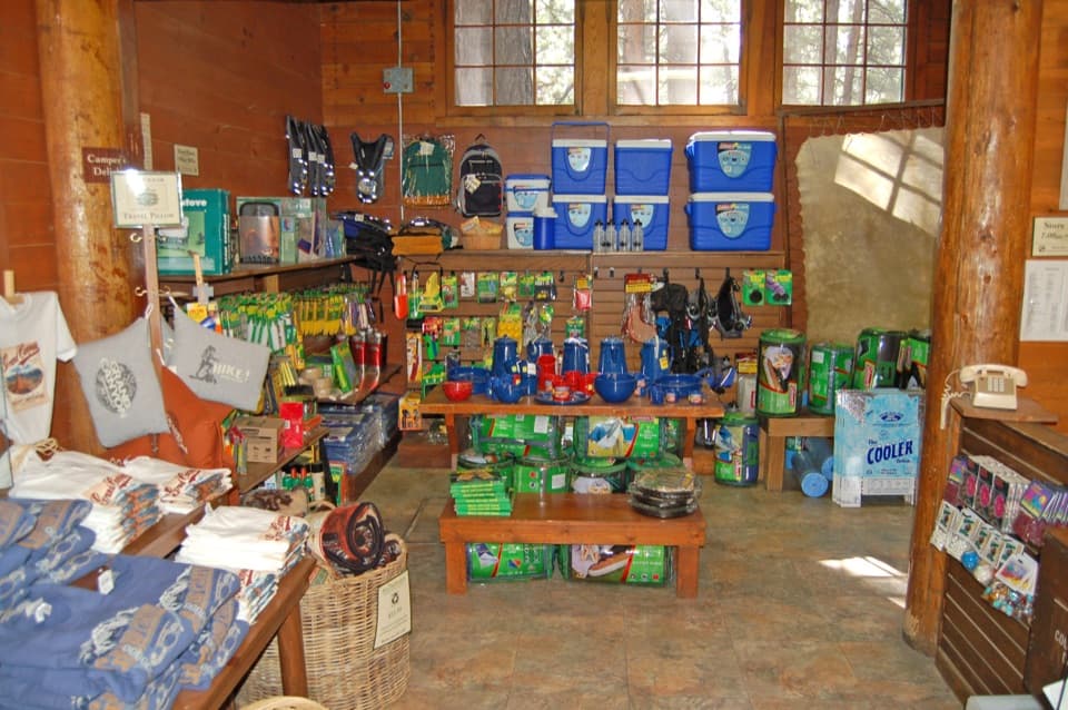 Store · 0.5 mi awayNorth Rim General StoreA seasonal shop for campground supplies and trail snacks.
 Sight · 0.6 mi awaySupai TunnelA four-mile hike to a tunnel framing streaked sandstone.
 Sight · 1.7 mi awayBright Angel PointA high rim panorama framed by the canyon’s temple buttes.
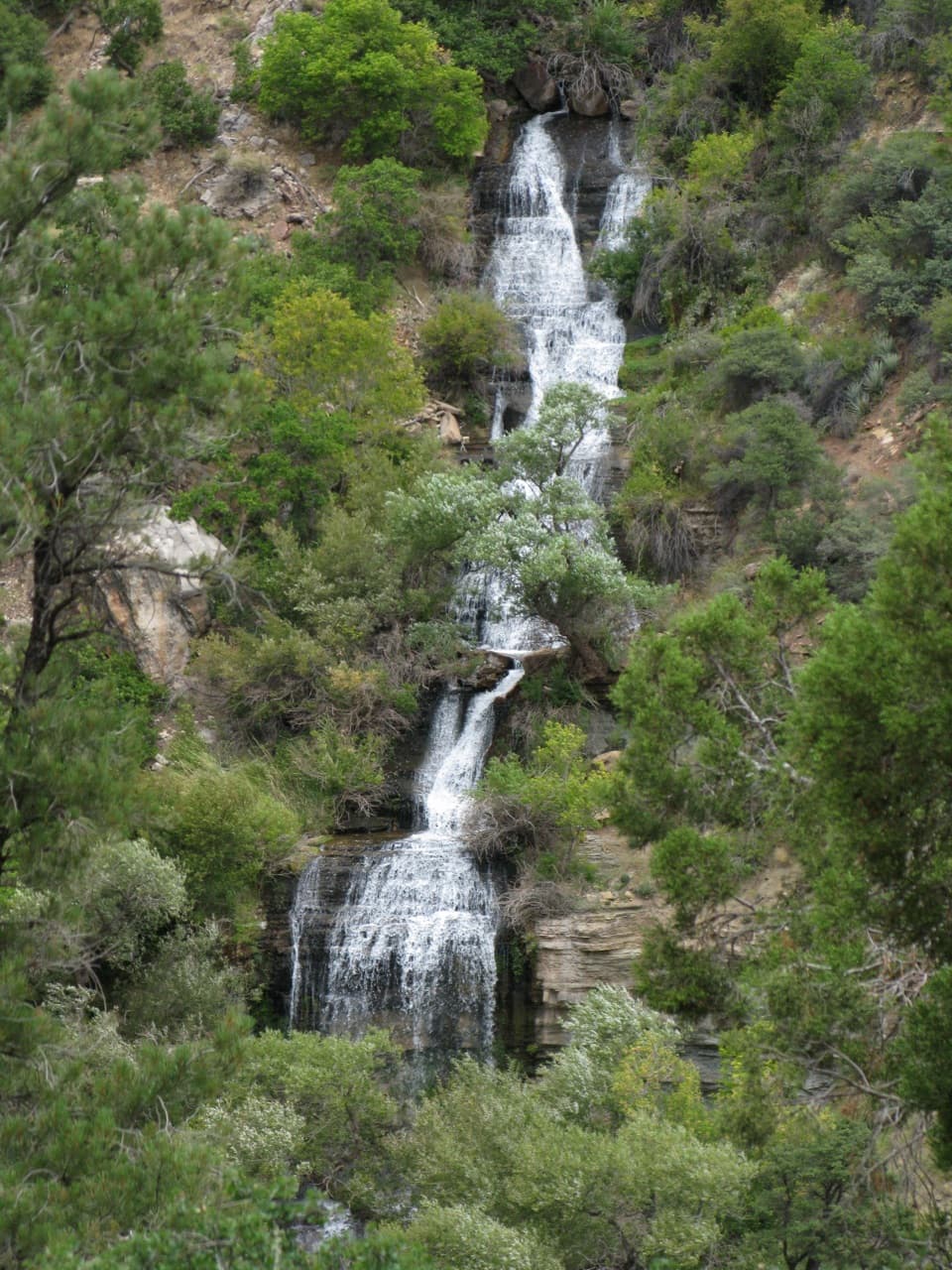 Sight · 2 mi awayRoaring SpringsA lush waterfall at the end of a steep canyon hike.
 Campground · 3.4 mi awayCottonwood CampgroundSleep beneath the canyon walls beside Bright Angel Creek.
Parkwolf’s Grand Canyon ranking

The audio tour guide for the drive, plus offline maps, trails, and wildlife heatmaps for when the signal drops.