The Trail of Time in Grand Canyon National Park

#8 of 73 trails in Grand Canyon

Grand Canyon National Park, AZ

The Trail of Time

A paved timeline where every meter spans a million years.

Photo: Wikimedia Commons
Length
3.3mi
Time
2hr
Elev. change
315ft
Difficulty
Easy
  • Dogs allowed
  • High point 7,011 ft

Hear the audio tour

Yavapai Geology Museum

Overview

About The Trail of Time

Why go

  • Pairs canyon views with real, touchable geologic specimens.
  • A paved rim route with a useful shorter museum-to-village option.

Heads up

  • The full route is point-to-point and needs return transport or a long walk back.
  • Only the Yavapai-to-Village section is specifically described as fully accessible.

Map & elevation

The route

Loading the Grand Canyon map
Full map
Elevation6,696–7,011 ft
TrailheadYavapai Geology Museum36.06608, -112.11755
Keep this map with you offline in the Parkwolf app

Plan your hike

Before you go

Parking

Start at Yavapai Geology Museum, served by the Kaibab Rim shuttle. Park Headquarters Parking Lot A is a midway access; no dedicated Trail of Time parking capacity was confirmed. The full one-way route ends at Maricopa Point, also served by a shuttle stop.

Safety

Some viewpoints are close to open canyon edges. Carry water; there is no water along the trail itself. Winter snow can make the paving slippery or icy, and summer thunderstorms bring lightning risk. Leashed pets may use trails above the rim but cannot ride park shuttles.

4 active Grand Canyon alerts

  • ClosureInner Canyon and North Rim trail closuresDo not enter the closed trails, bridges, campgrounds, and inner-canyon areas.Official details
  • ClosureNorth Rim scenic roads closed for repairsCape Royal Road and Point Imperial Road are closed from sunset October 15 through sunrise November 3, 2026. - The roads are closed to accommodate critical road repair and rehabilitation work.Official details
See all 4 alerts
A park ranger sits on a dash-mounted phone, talking, as Parkwolf’s Tour Guide plays “Army Cutworm Moths: A Grizzly Bear Buffet” on Grand Loop Road below Dunraven Pass in Yellowstone
Parkwolf Tour GuideThe highest, rockiest slopes around here are a summer buffet for grizzly bears.

Grand Canyon Tour Guide

Your drive to The Trail of Time, narrated.

Parkwolf is a GPS audio tour guide for Grand Canyon National Park. As you drive, it chimes in with what’s ahead: hidden gems, upcoming stops, history, geology, and wildlife, right through your car’s speakers.

See the Grand Canyon audio tour

Recorded for this trailhead

Yavapai Geology Museum
0:00 / 0:34
“Up ahead is Yavapai Geology Museum, where the exhibits have the canyon itself as a backdrop.”

Plays as you drive up to this trailhead in the Parkwolf Grand Canyon Tour Guide.

More stories near here in the app

  • Mather Point and Visitor Center
  • Market Plaza’s Grocery Stop
  • Pioneer Cemetery and the Shrine
  • Trailer Village’s Full-Hookup RV Sites
  • 79 audio storiesacross Grand Canyon’s roads, triggered by GPS as you drive
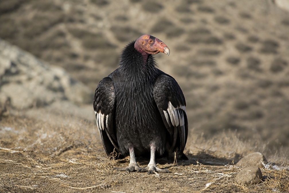
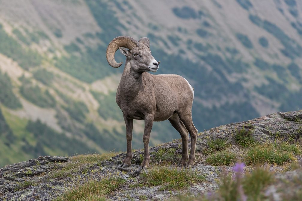
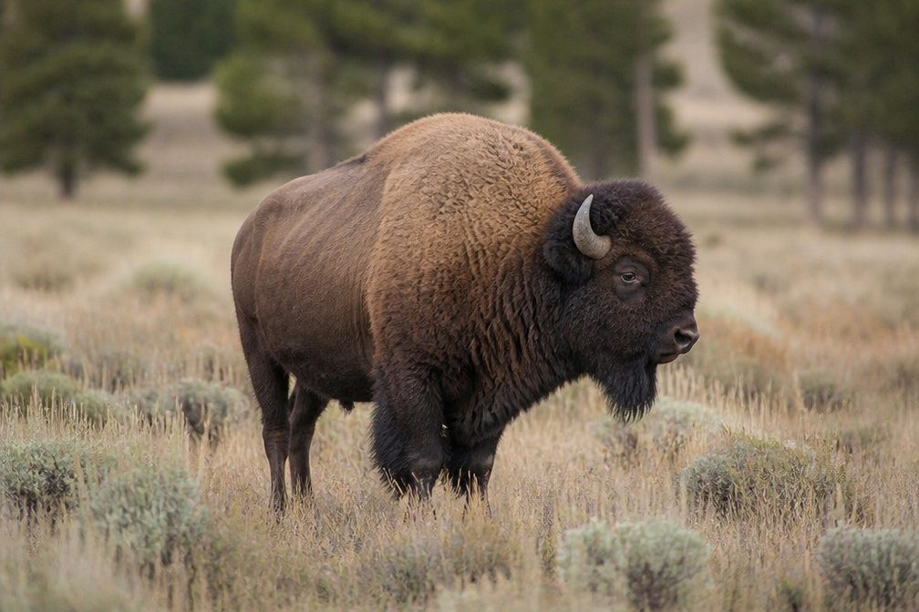
  • Wildlife heatmapsfor California Condor, Bighorn Sheep, American Bison, and 13 more
  • Works offlinemaps, 73 trails, 96 places, and audio download before you lose signal
  • CarPlay readysimple controls built for the drive
★★★★★
“Fantastic app with many points of information… It’s great to just turn on while you’re driving and it gives you an audio tour of the national Park. We love it!!!!”
JMJamesApp Store review
Download Parkwolf on the App StoreGet Parkwolf on Google Play

4.7 from 8,600+ ratings

Trail guide

Hiking The Trail of Time

A walk through deep timeThe Trail of Time is a paved, one-way walk from Yavapai Geology Museum to Maricopa Point,…

The Trail of Time is a paved, one-way walk from Yavapai Geology Museum to Maricopa Point, following the South Rim through Grand Canyon Village. The full mapped corridor is about 3.3 miles one way; allow roughly two hours, longer if you stop at the rocks and displays. It is easy and mostly level underfoot, but the one-way distance is longer than a quick overlook stroll. The main reward is unusual: walk beside real canyon rock samples as the markers turn geologic time into distance, with open canyon views along the way. Published figures differ: one description gives 2.83 miles for the exhibit, while the Yavapai-to-Village stretch is 1.3 miles. The full Yavapai-to-Maricopa corridor maps to about 3.3 miles, which is the longer point-to-point route recorded here.

Begin at the young endStart by the museum and follow the short Million Year Walk, the exhibit's roughly 150-yard…

Start by the museum and follow the short Million Year Walk, the exhibit's roughly 150-yard on-ramp from human timescales to geology. The main timeline begins at its second portal. Walk west and each meter represents about a million years; every tenth marker is labeled in millions. Turn around and walk east to read the same sequence forward. Bronze disks set into the pavement, rock displays, and viewing tubes make this a walk to pause on, not just a rim path to cover quickly.

Follow the rim through the VillageThe paved route runs west past canyon viewpoints and the Park Headquarters junction before…

The paved route runs west past canyon viewpoints and the Park Headquarters junction before reaching Grand Canyon Village. Verkamp's Visitor Center marks the old end of the main timeline; from there, the full mapped walk continues west on the Rim Trail to Maricopa Point. The 1.3-mile Yavapai-to-Village section is the part specifically described as fully accessible and suitable for wheelchairs and strollers; check the final stretch against your needs before committing to the full route. A shorter visit can turn around at the Village or use its shuttle stop.

Read the rocks as you goAt the Yavapai end, the portal's seating rocks and paving use the younger Kaibab limestone and…

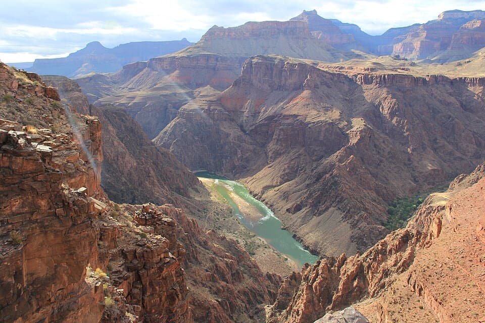
At the Yavapai end, the portal's seating rocks and paving use the younger Kaibab limestone and Coconino sandstone. Look for fossil gastropods and proto-reptile tracks in the stone. Farther along, the displays place canyon rocks near their geologic ages; many were collected from the Colorado River and brought up for visitors to touch. At the Village end, the portal shifts to Precambrian schist and gneiss, the kind of basement rock exposed deep in the inner canyon. The oldest rocks described along the route are about 1.8 billion years old, while the rim's youngest layer is about 270 million years old. The canyon itself is geologically young, cut into that much older stack over roughly the last five or six million years.

A timeline built for the rimGeology professors Karl Karlstrom and Laura Crossey of the University of New Mexico led the…

Geology professors Karl Karlstrom and Laura Crossey of the University of New Mexico led the exhibit's design. It was dedicated in 2010 with about 2,500 markers; a 2022 repair project put nearly 100 of them back in place. That scale is part of the fun: a small marker underfoot stands for a span of time too large to picture, while the canyon wall gives those dates a real place in the landscape.

Make the one-way walk workShuttle stops serve the Yavapai and Maricopa ends, so check current service before setting out…

Shuttle stops serve the Yavapai and Maricopa ends, so check current service before setting out one way. Park Headquarters Parking Lot A is a midway access. Carry water; there is no water along the trail itself, though visitor services are in the Yavapai and Village areas. Food is in the Village rather than along the rim path. Leashed pets are allowed on trails above the rim, but pets cannot ride the shuttle, so a dog means arranging a private pickup or walking back. Some overlooks sit close to the canyon edge; keep children close, and expect slick or icy paving in winter and lightning risk during summer thunderstorms. For a photo, put a dated bronze marker or rock sample in the foreground with the canyon beyond.

Wildlife

Wildlife in Grand Canyon

All Grand Canyon wildlife maps

Sighting maps show where each species has been reported across Grand Canyon. Wildlife moves, so no sighting is guaranteed.

Keep exploring

Near The Trail of Time

See it all on the map

Trails that start nearby

Places near the trailhead

Parkwolf’s Grand Canyon ranking

Top-rated trails in Grand Canyon

All 73 trails
  1. 1Rim-to-Rim: North Kaibab to Bright AngelChallenging · 23.5 mi
  2. 2South Kaibab TrailChallenging · 6.3 mi
  3. 3Bright Angel TrailChallenging · 7.8 mi
  4. 4Rim TrailModerate · 12.8 mi
  5. 5Rim-to-Rim: South Kaibab to North KaibabChallenging · 21 mi
  6. 6Cape Royal TrailEasy · 0.8 mi

Take Parkwolf to Grand Canyon.

The audio tour guide for the drive, plus offline maps, trails, and wildlife heatmaps for when the signal drops.

4.7 from 8,600+ ratings

Download Parkwolf on the App StoreGet Parkwolf on Google Play