South Kaibab–Bright Angel Loop in Grand Canyon National Park

#7 of 73 trails in Grand Canyon

Grand Canyon National Park, AZ

South Kaibab–Bright Angel Loop

A 15.8-mile canyon traverse from South Kaibab to the Bright Angel rim.

Photo: Wikimedia Commons
Length
15.8mi
Time
14hr
Elev. change
4,738ft
Difficulty
Challenging
  • No dogs
  • High point 7,162 ft

Hear the audio tour

Yaki Point and South Kaibab Access

Overview

About South Kaibab–Bright Angel Loop

Why go

  • Two distinct corridor trails and both river bridges in one canyon crossing.
  • The route moves through an extraordinary range of geology and canyon views.

Heads up

  • The route drops about 4,860 feet and climbs about 4,460 feet.
  • South Kaibab has no water or much shade, and the trailheads need shuttle planning.

Map & elevation

The route

Loading the Grand Canyon map
Full map
Elevation2,425–7,162 ft
TrailheadSouth Kaibab Trailhead36.05296, -112.08390
Keep this map with you offline in the Parkwolf app

Plan your hike

Before you go

Parking

There is no private-vehicle parking at South Kaibab Trailhead. Park near the Visitor Center or Backcountry Information Center and use the park shuttle, or walk or bike to the start. Finish at Bright Angel Trailhead west of Kolb Studio; use the shuttle or Rim Trail to reconnect with your car.

Safety

Exceptionally strenuous, exposed route with a long climb out; the National Park Service advises against rim-to-river-to-rim in one day. South Kaibab has no water, and Bright Angel resthouse water is seasonal and can be interrupted, so verify current status. Pets are prohibited below the rim; overnight camping requires a backcountry permit.

4 active Grand Canyon alerts

  • CautionFlash-flood hazard near Phantom RanchMentions Phantom Ranch, referenced in this guideRiver trips passing Phantom Ranch may encounter flash flooding with little or no warning, even when storms are not visible overhead. Check today’s hiking messages and hazards before traveling.Official details
  • ClosureInner Canyon and North Rim trail closuresDo not enter the closed trails, bridges, campgrounds, and inner-canyon areas.Official details
See all 4 alerts
A park ranger sits on a dash-mounted phone, talking, as Parkwolf’s Tour Guide plays “Army Cutworm Moths: A Grizzly Bear Buffet” on Grand Loop Road below Dunraven Pass in Yellowstone
Parkwolf Tour GuideThe highest, rockiest slopes around here are a summer buffet for grizzly bears.

Grand Canyon Tour Guide

Your drive to South Kaibab–Bright Angel Loop, narrated.

Parkwolf is a GPS audio tour guide for Grand Canyon National Park. As you drive, it chimes in with what’s ahead: hidden gems, upcoming stops, history, geology, and wildlife, right through your car’s speakers.

See the Grand Canyon audio tour

Recorded for this trailhead

Yaki Point and South Kaibab Access
0:00 / 0:31
“The access road for Yaki Point and South Kaibab Trailhead is coming up. Private cars can't use the spur; park at the Visitor Center and take the free Orange Route shuttle.”

Plays as you drive up to this trailhead in the Parkwolf Grand Canyon Tour Guide.

More stories near here in the app

  • Pipe Creek Vista’s Shaded Walls
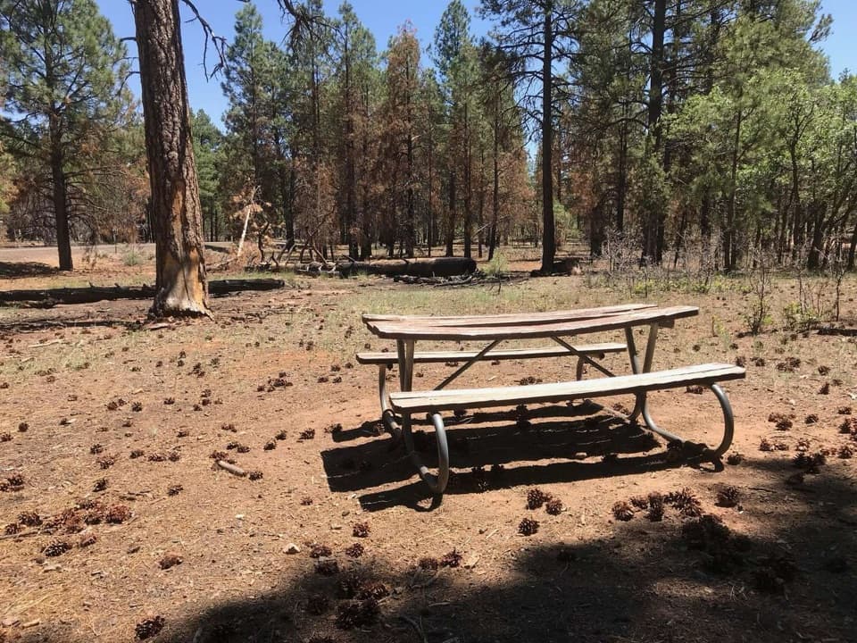
  • Range Road Picnic Area’s Pine-Shaded Tables
  • Shoshone Point’s Forest Walk
  • Mather Point and Visitor Center
  • 79 audio storiesacross Grand Canyon’s roads, triggered by GPS as you drive
  • Wildlife heatmapsfor California Condor, Bighorn Sheep, American Bison, and 13 more
  • Works offlinemaps, 73 trails, 96 places, and audio download before you lose signal
  • CarPlay readysimple controls built for the drive
★★★★★
“Fantastic app with many points of information… It’s great to just turn on while you’re driving and it gives you an audio tour of the national Park. We love it!!!!”
JMJamesApp Store review
Download Parkwolf on the App StoreGet Parkwolf on Google Play

4.7 from 8,600+ ratings

Trail guide

Hiking South Kaibab–Bright Angel Loop

The full canyon crossingSouth Kaibab–Bright Angel Loop is a 15.

South Kaibab–Bright Angel Loop is a 15.8-mile point-to-point traverse between South Kaibab Trailhead and Bright Angel Trailhead: 6.3 miles down South Kaibab, 1.7 miles along the Colorado on River Trail, then 7.8 miles up Bright Angel. You cross the river on the Black and Silver bridges. The route drops about 4,860 feet and climbs about 4,460, so even strong hikers feel the last ascent. The two rim trailheads are separate; the 15.8 miles ends west of Kolb Studio, and a shuttle or Rim Trail walk back to the start adds time and distance. This is one of the park’s fullest canyon experiences, but it demands a very fit, well-prepared hiker. The National Park Service advises against rim-to-river-to-rim in one day; consider an overnight instead.


South Kaibab downThe route starts near Yaki Point at about 7,260 feet.

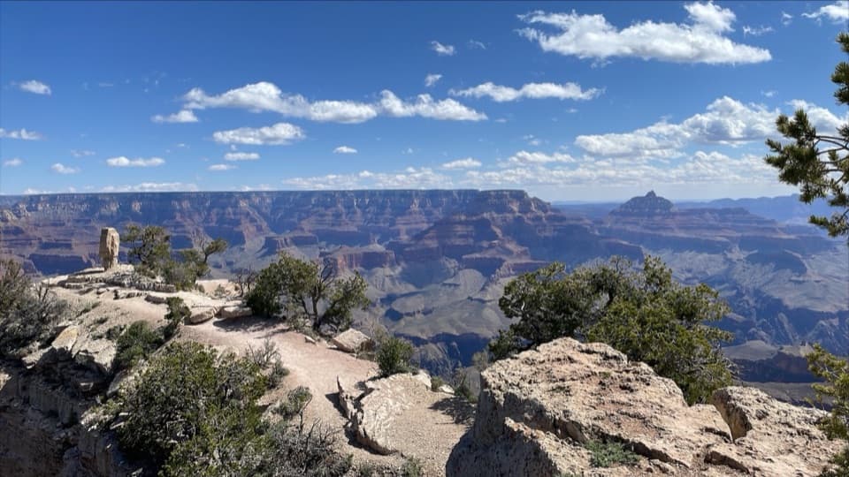
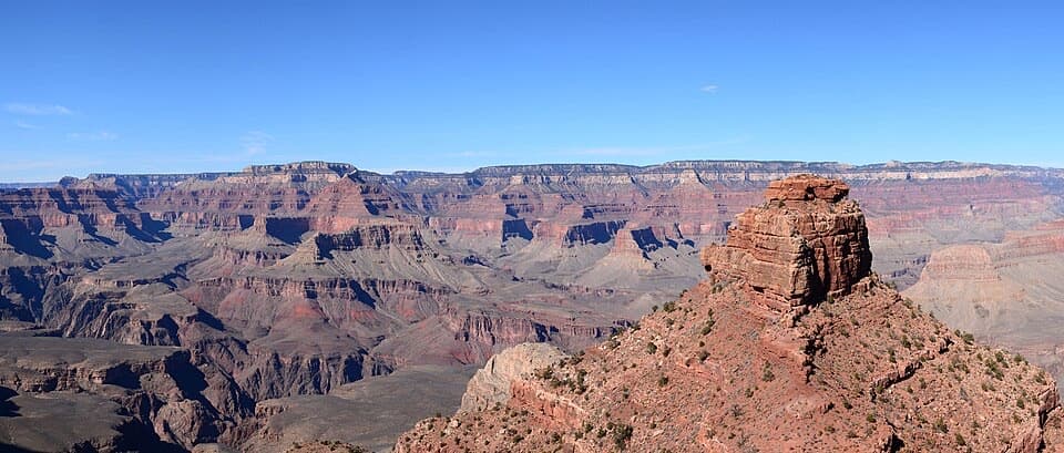
The route starts near Yaki Point at about 7,260 feet. Tight switchbacks open onto the first panoramic view at Ooh Aah Point, 0.9 mile down. Cedar Ridge comes at 1.5 miles, with a toilet but no water. The path then skirts O’Neill Butte to Skeleton Point at 3 miles; this is a sensible turnaround if you want a shorter out-and-back, and its spur gives your first view of the Colorado River. Continue past the exposed, blasted ledges and steep switchbacks to Tip-Off at 4.4 miles, where the Tonto Trail branches away. The ridge-line route keeps the canyon in view, but it leaves you in full sun for much of the descent.

Cross the riverBelow Tip-Off, South Kaibab drops through a tunnel and reaches the Black Bridge. The 1.

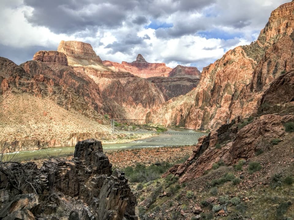
Below Tip-Off, South Kaibab drops through a tunnel and reaches the Black Bridge. The 1.7-mile River Trail links the two corridor trails beside the Colorado and crosses the river again on the Silver Bridge. It’s a welcome flatter stretch after the steep descent, though it has little shade. Pause at the bridge to look up into the dark inner gorge; including the canyon walls in the view makes the river’s scale easier to read.

Bright Angel back upFrom the river, Bright Angel climbs through Pipe Creek and Garden Creek to Havasupai Gardens,…

From the river, Bright Angel climbs through Pipe Creek and Garden Creek to Havasupai Gardens, where trees give the route its first substantial shade since the river. Resthouses sit about three and 1.5 miles below the rim. The last 1.5 miles gains a little over 1,100 feet, so the finish is still a steep climb after nearly 14 miles. Mules use this corridor too: step to the uphill side, stand still, and follow the wrangler’s directions while they pass.

Heat, water, and pacingSouth Kaibab has no water along it and much less shade than Bright Angel.

South Kaibab has no water along it and much less shade than Bright Angel. There are toilets at Cedar Ridge and Tip-Off, but no refill there. Water at Bright Angel resthouses follows a seasonal schedule and can be interrupted, so check the current water status before you count on a tap. The inner canyon is much hotter than the rim, and the Park Service recommends staying off the trail through the hottest summer hours. Keep the descent controlled; the climb out can take about twice as long. Fourteen hours is a realistic long-day estimate with breaks, but the Park Service recommends planning this route as an overnight rather than a rim-to-river-to-rim day hike.

A cross-section of the canyonAt the rim, the trail cuts into Kaibab Limestone that formed on an ancient sea floor.

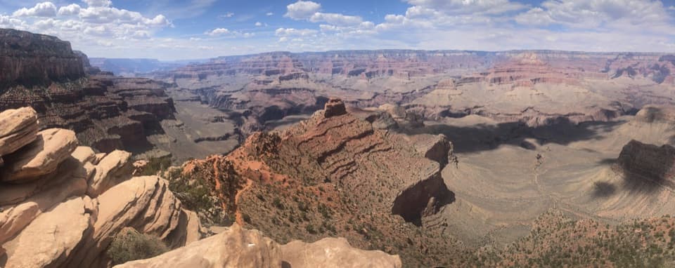
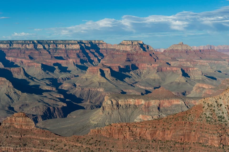
At the rim, the trail cuts into Kaibab Limestone that formed on an ancient sea floor. Lower down, the sedimentary layers give way to the nearly two-billion-year-old igneous and metamorphic rocks of the inner gorge. South Kaibab holds a ridgeline, while Bright Angel follows a fault down Garden Creek Canyon, so the two halves show the same canyon from very different angles. The geology changes under your feet as well as across the view.

Access, permits, and petsPrivate vehicles cannot reach South Kaibab Trailhead; park near the Visitor Center or…

Private vehicles cannot reach South Kaibab Trailhead; park near the Visitor Center or Backcountry Information Center and use the park shuttle, or walk or bike to the start. Bright Angel Trailhead is just west of Kolb Studio. Use the shuttle or the Rim Trail to get back to your car. Overnight camping is limited to designated corridor campgrounds and requires a backcountry permit; Phantom Ranch food and lodging require reservations. Pets are not allowed below the rim.

Wildlife

Wildlife in Grand Canyon

All Grand Canyon wildlife maps

Sighting maps show where each species has been reported across Grand Canyon. Wildlife moves, so no sighting is guaranteed.

Keep exploring

Near South Kaibab–Bright Angel Loop

See it all on the map

Trails that start nearby

Places near the trailhead

Parkwolf’s Grand Canyon ranking

Top-rated trails in Grand Canyon

All 73 trails
  1. 1Rim-to-Rim: North Kaibab to Bright AngelChallenging · 23.5 mi
  2. 2South Kaibab TrailChallenging · 6.3 mi
  3. 3Bright Angel TrailChallenging · 7.8 mi
  4. 4Rim TrailModerate · 12.8 mi
  5. 5Rim-to-Rim: South Kaibab to North KaibabChallenging · 21 mi
  6. 6Cape Royal TrailEasy · 0.8 mi

Take Parkwolf to Grand Canyon.

The audio tour guide for the drive, plus offline maps, trails, and wildlife heatmaps for when the signal drops.

4.7 from 8,600+ ratings

Download Parkwolf on the App StoreGet Parkwolf on Google Play