Parking
There is no road access or parking at river level. Reach the east end by hiking down South Kaibab from the South Rim; the customary loop exits up Bright Angel to Grand Canyon Village.
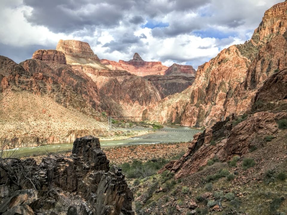
Grand Canyon National Park, AZ
A river-level connector beneath steep inner-canyon walls.
Overview
Map & elevation
Plan your hike

The highest, rockiest slopes around here are a summer buffet for grizzly bears.
Grand Canyon Tour Guide
Parkwolf is a GPS audio tour guide for Grand Canyon National Park. As you drive, it chimes in with what’s ahead: hidden gems, upcoming stops, history, geology, and wildlife, right through your car’s speakers.
See the Grand Canyon audio tourMore stories near here in the app
“Fantastic app with many points of information… It’s great to just turn on while you’re driving and it gives you an audio tour of the national Park. We love it!!!!”


Trail guide
River Trail is a 1.7-mile one-way path along the Colorado River's south bank, joining the South Kaibab and Bright Angel trails. It's the river-level link inside a much longer canyon hike, not a short walk from the rim; allow about an hour for this segment alone.
The route runs west from the South Kaibab junction toward River Resthouse and the Bright Angel connection. The park describes little elevation variation, but the path is dirt and the canyon walls rise sharply around the river. Two footbridges span the Colorado nearby, linking the corridor with the north side. River Resthouse has a restroom; the park's corridor table doesn't list drinking water there. A 1935 photograph records the South Kaibab–River Trail junction soon after Civilian Conservation Corps construction.
For the usual South Kaibab–Bright Angel loop, descend South Kaibab, cross the river corridor westbound, then climb Bright Angel back to the village. That approach involves thousands of feet of descent and climbing; the 1.7 miles covers only the river connector. South Kaibab has no water. Dogs aren't allowed below the rim, though service animals are permitted. Check park alerts before descending.
Wildlife
 718 sightingsCalifornia CondorMost seen around 5 PMSighting map
 533 sightingsBighorn SheepMost seen around 7 AMSighting map
 169 sightingsAmerican BisonMost seen around 7 PMSighting map
 1,891 sightingsElkMost seen around 6 AMSighting map
 59 sightingsCoyoteMost seen around 6 PMSighting map
 27 sightingsGray FoxMost seen around 6 AMSighting map
Sighting maps show where each species has been reported across Grand Canyon. Wildlife moves, so no sighting is guaranteed.
Keep exploring
 ChallengingClear Creek Trail8.4 mi · 7 hr · 0.8 mi awayAn exposed, full-day traverse across the Tonto Platform to Clear Creek.
 EasyThe Trail of Time3.3 mi · 2 hr · 2.8 mi awayA paved timeline where every meter spans a million years.
 ModerateClear Creek (from the Colorado River)1.4 mi · 2 hr · 3.2 mi awayA river beach, schist scramble and a waterfall that throws water sideways.
 ChallengingSouth Kaibab Trail6.3 mi · 5 hr · 3.2 mi awayA steep ridge descent with a first river view at Skeleton Point.
 ModerateRim Trail12.8 mi · 7 hr · 3.2 mi awayThe full 12.8-mile rim walk, easiest to sample by shuttle.
 ChallengingRim-to-Rim: South Kaibab to North Kaibab21 mi · 16 hr · 3.2 mi awayA one-way canyon crossing from the South Rim to the North Rim.ChallengingSouth Kaibab–Bright Angel Loop15.8 mi · 14 hr · 3.2 mi awayA 15.8-mile canyon traverse from South Kaibab to the Bright Angel rim.
 ChallengingPlateau Point Trail12 mi · 10.5 hr · 4.2 mi awayA long descent earns a wide view of the Colorado River.
 Campground · 0.4 mi awayBright Angel CampgroundEarn a creekside night in the canyon's cottonwood shade.
 Lodging · 0.6 mi awayPhantom RanchA rare creekside night at the canyon floor.
 Sight · 1.2 mi awaySkeleton PointThe river view is earned on a 6-mile out-and-back.Sight · 1.6 mi awayPlateau PointA long hike earns a sweeping view of the Colorado River.
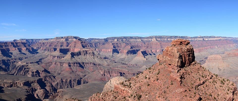 Sight · 2.4 mi awayCedar RidgeA good first canyon hike, with wide views of O’Neill Butte.
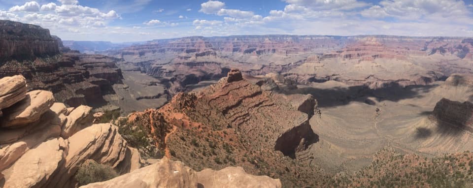 Sight · 2.6 mi awayOoh Aah PointFirst canyon panorama below the rim, with a steep climb back.
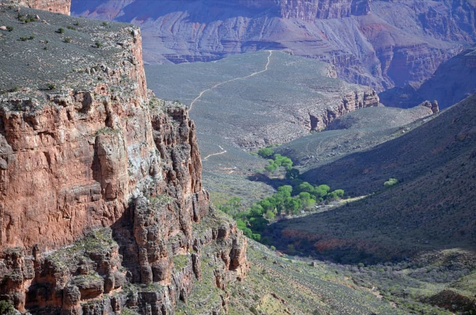 Campground · 2.7 mi awayHavasupai GardensA shaded break on the canyon corridor, with Havasupai history.
 Sight · 2.8 mi awayYavapai Geology MuseumA geology lesson with the canyon spread out in front of you.
Parkwolf’s Grand Canyon ranking

The audio tour guide for the drive, plus offline maps, trails, and wildlife heatmaps for when the signal drops.


