Plateau Point Trail in Grand Canyon National Park

Grand Canyon National Park, AZ

Plateau Point Trail

A long descent earns a wide view of the Colorado River.

Photo: Wikimedia Commons
Length
12mi
Time
10.5hr
Elev. change
3,153ft
Difficulty
Challenging
  • No dogs
  • High point 6,762 ft
  • #11 of 73 in Grand Canyon

Hear the audio tour

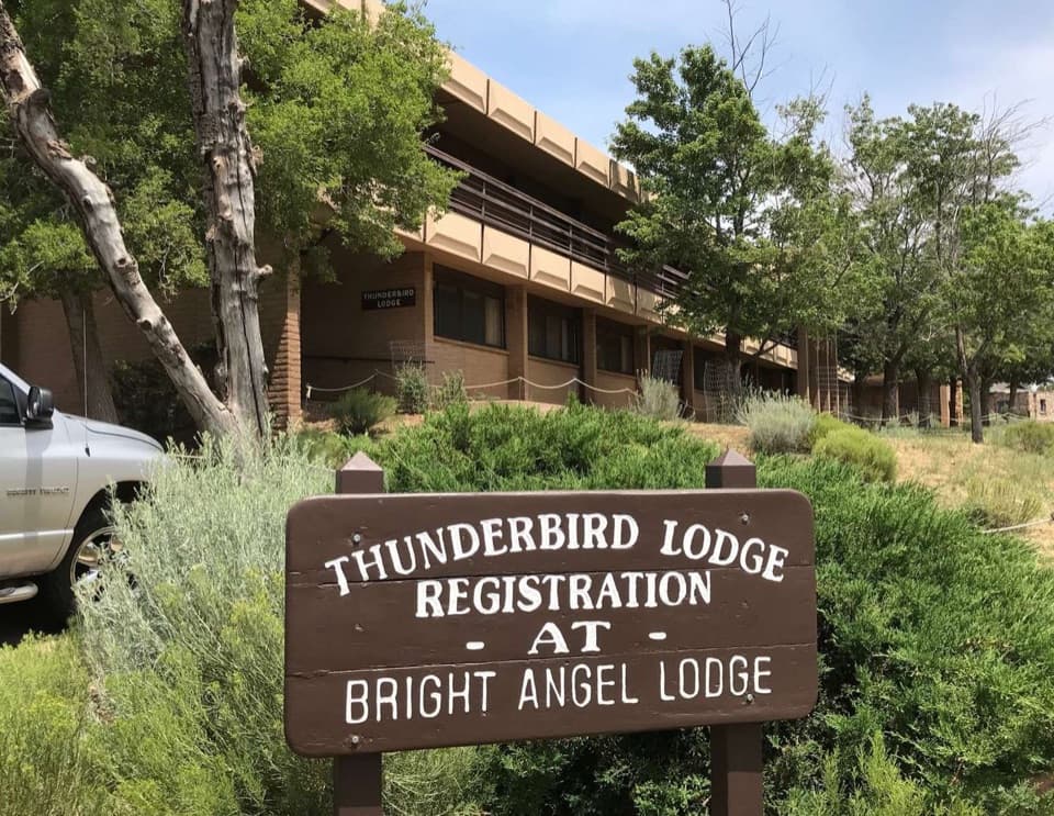
Bright Angel Lodge and Lookout Studio

Overview

About Plateau Point Trail

Why go

  • A rare mid-canyon view above the Colorado River
  • Havasupai Gardens breaks up the long canyon descent

Heads up

  • The 12-mile return hike ends with a long climb to the rim
  • The open Tonto Platform spur has little shade

Map & elevation

The route

Loading the Grand Canyon map
Full map
Elevation3,609–6,762 ft
TrailheadBright Angel Trailhead (South Rim)36.05741, -112.14360
Keep this map with you offline in the Parkwolf app

Plan your hike

Before you go

Parking

Start at Bright Angel Trailhead in Grand Canyon Village. If nearby parking is full, use Parking Lot D near Maswik Lodge and the Backcountry Information Center; the walk to the rim is about 0.4 mile. Restrooms and potable water are listed at the trailhead.

Safety

The return climb gains about 3,080 feet after a long descent; allow 9–12 hours for the full hike. Summer heat and monsoon lightning are serious hazards. Water along the trail is seasonal and can be interrupted, so check status and carry all you need. Pets are not allowed below the rim; overnight camping requires a backcountry permit.

4 active Grand Canyon alerts

  • ClosureInner Canyon and North Rim trail closuresDo not enter the closed trails, bridges, campgrounds, and inner-canyon areas.Official details
  • ClosureNorth Rim scenic roads closed for repairsCape Royal Road and Point Imperial Road are closed from sunset October 15 through sunrise November 3, 2026. - The roads are closed to accommodate critical road repair and rehabilitation work.Official details
See all 4 alerts
A park ranger sits on a dash-mounted phone, talking, as Parkwolf’s Tour Guide plays “Army Cutworm Moths: A Grizzly Bear Buffet” on Grand Loop Road below Dunraven Pass in Yellowstone
Parkwolf Tour GuideThe highest, rockiest slopes around here are a summer buffet for grizzly bears.

Grand Canyon Tour Guide

Your drive to Plateau Point Trail, narrated.

Parkwolf is a GPS audio tour guide for Grand Canyon National Park. As you drive, it chimes in with what’s ahead: hidden gems, upcoming stops, history, geology, and wildlife, right through your car’s speakers.

See the Grand Canyon audio tour

Recorded for this trailhead

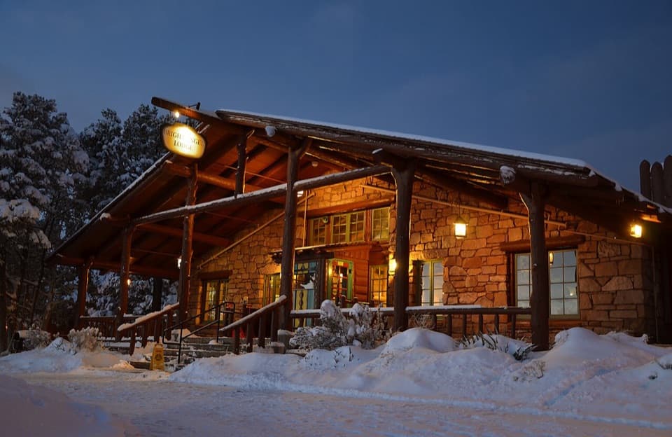
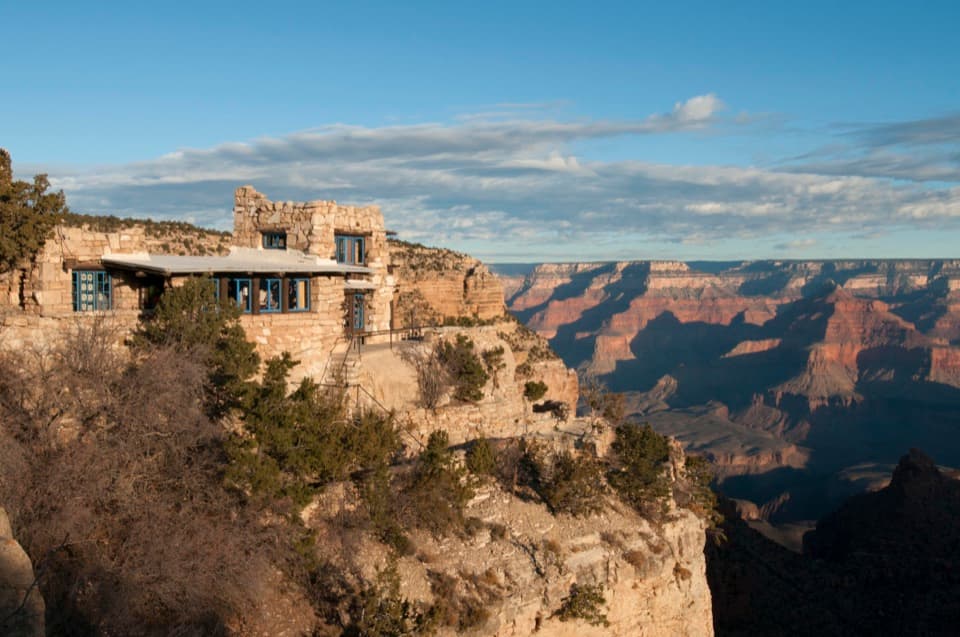
Bright Angel Lodge and Lookout Studio
0:00 / 0:38
“You're coming up on Bright Angel Lodge, a good stop for architecture as well as the canyon. Step into the Fred Harvey History Room for the ten-foot fireplace built to echo the canyon's rock layers.”

Plays as you drive up to this trailhead in the Parkwolf Grand Canyon Tour Guide.

More stories near here in the app

  • Backcountry Information Center and Maswik
  • Trailview Overlook and Rim Fossils
  • El Tovar’s Architecture and Dining
  • Maricopa Point and the Orphan Mine
  • 79 audio storiesacross Grand Canyon’s roads, triggered by GPS as you drive
  • Wildlife heatmapsfor California Condor, Bighorn Sheep, American Bison, and 13 more
  • Works offlinemaps, 73 trails, 96 places, and audio download before you lose signal
  • CarPlay readysimple controls built for the drive
★★★★★
“Fantastic app with many points of information… It’s great to just turn on while you’re driving and it gives you an audio tour of the national Park. We love it!!!!”
JMJamesApp Store review
Download Parkwolf on the App StoreGet Parkwolf on Google Play

4.7 from 8,600+ ratings

Trail guide

Hiking Plateau Point Trail

A full day to Plateau PointThis 12-mile round-trip out-and-back starts at Bright Angel Trailhead, descends the Bright…

This 12-mile round-trip out-and-back starts at Bright Angel Trailhead, descends the Bright Angel Trail to Havasupai Gardens, then follows the Tonto Platform to Plateau Point. Allow 9–12 hours; the descent loses about 3,080 feet, and you climb that canyon wall back to the rim. The payoff is a rare, mid-canyon view over the Colorado River. The listed distance includes the rim approach and the roughly 3-mile round-trip spur from Havasupai Gardens. That shorter spur is a separate walk, but it is not the full South Rim hike. Go for the point if a long canyon day is part of the appeal; choose a rim viewpoint if you want the view without a full descent and climb.

The climb is the hard halfBright Angel is a maintained, graded trail, and the way down can feel deceptively comfortable.

Bright Angel is a maintained, graded trail, and the way down can feel deceptively comfortable. NPS advises allowing at least twice as much time to climb out as you spent descending. Most of the elevation change is in the upper four miles, where repeated switchbacks work through the side canyon. Start in cooler hours, especially in summer: temperatures can pass 100°F even in the shade, and July through September brings monsoon storms and lightning. Budget the whole day rather than treating the point as a casual add-on.

Through Bright Angel’s side canyonThe trail follows a canyon aligned with a major fault.

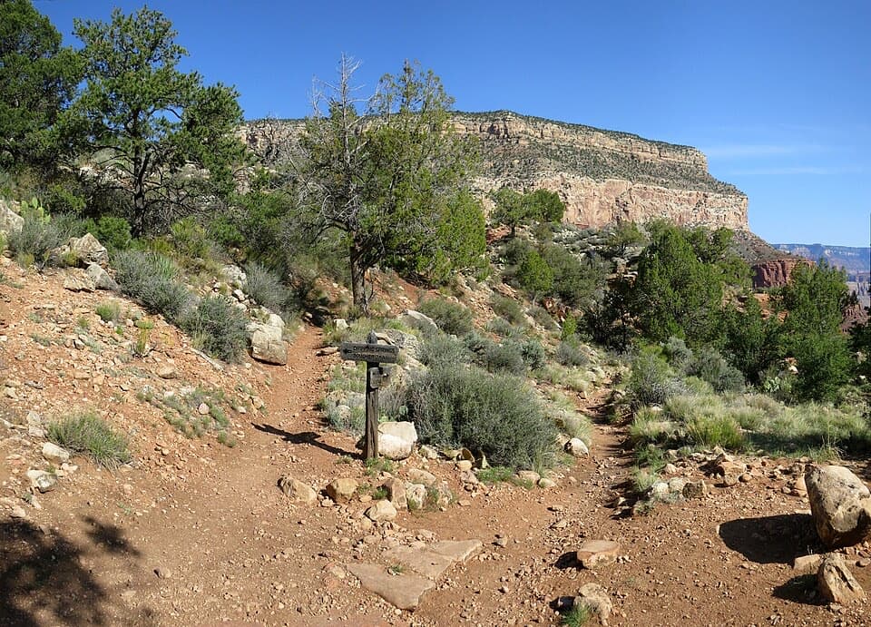
The trail follows a canyon aligned with a major fault. For the first few miles, tall walls keep the route within the side canyon; the views come in framed openings rather than one continuous panorama. The maintained tread was graded for stock, and mules use the corridor. If a mule train approaches, step aside, stay quiet and still, and wait for the wrangler’s signal before walking on. You return by the same way, so save enough strength for the long uphill stretch rather than spending it on the descent.

Havasupai GardensAt about 4.

At about 4.5 miles from the rim, the trail eases as it reaches Havasupai Gardens, more than 2,000 feet below the South Rim. This green oasis is a striking change from the dry, rocky canyon. It is also a place of Havasupai history: Havasupai people lived here until they were forced to leave when Grand Canyon National Park was established. A backcountry permit is required if you plan to stay overnight at the campground; this is a day hike when completed in one outing.

Across the Tonto PlatformFrom the Gardens, the final out-and-back spur is about 3 miles round trip.

From the Gardens, the final out-and-back spur is about 3 miles round trip. It crosses the broad Tonto Platform toward the point. Compared with the switchbacks, the trail is relatively level, but it is open and very exposed, with little shade. That contrast catches people: the hardest climbing is behind you on the way out, yet the sun can make this last stretch feel slow. The Tonto Trail also crosses the platform, so stay on the Plateau Point branch and retrace it to Havasupai Gardens.

The view at the endPlateau Point is a high overlook above the Colorado River, not a riverbank.

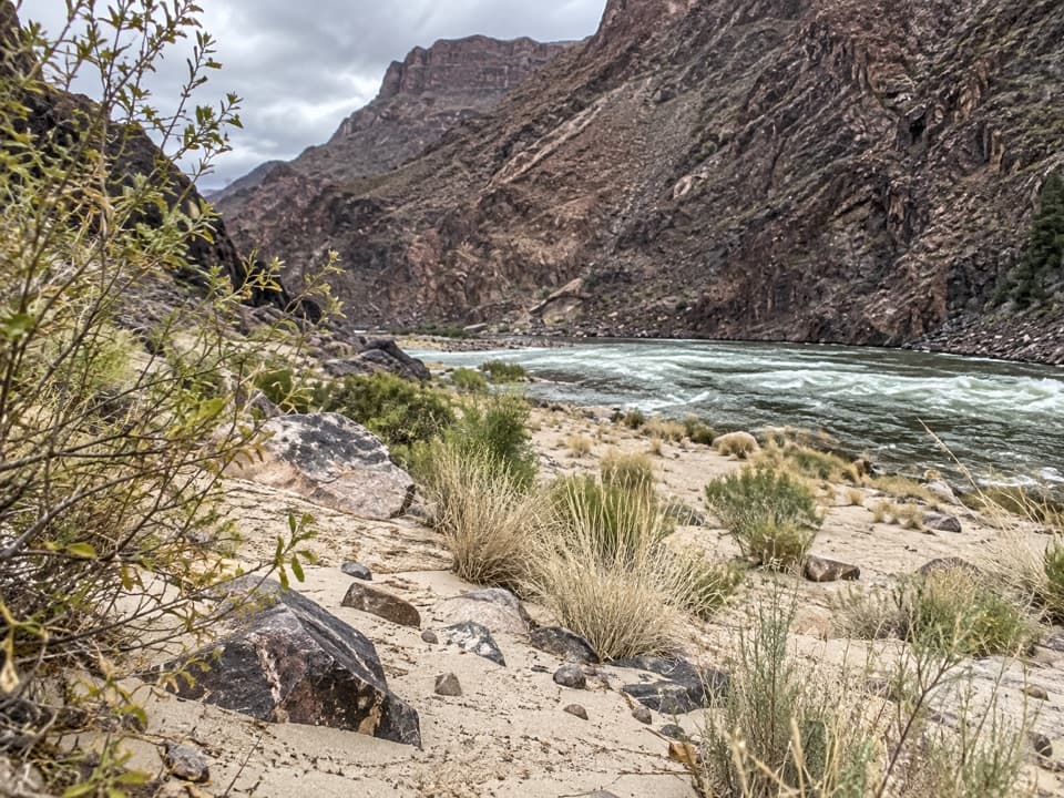
Plateau Point is a high overlook above the Colorado River, not a riverbank. From the platform, you can look down into the narrow inner gorge and along the river between layered cliffs. The view feels much closer to the canyon’s center than anything from the rim. For a photograph, include a little of the rocky foreground with the river below it; that gives the scene a sense of height without hiding the water.

Water, parking and petsParking near Bright Angel Trailhead can fill.

Parking near Bright Angel Trailhead can fill. If it does, Parking Lot D by Maswik Lodge and the Backcountry Information Center is the designated overflow option; it adds about a 0.4-mile walk back to the rim. Toilets and potable water are listed at the trailhead. Water farther down is seasonal and can be interrupted, so check the current status before leaving and carry all the water you will need. Ordinary pets are prohibited below the rim; service animals are permitted under park rules.

Wildlife

Wildlife in Grand Canyon

All Grand Canyon wildlife maps

Sighting maps show where each species has been reported across Grand Canyon. Wildlife moves, so no sighting is guaranteed.

Keep exploring

Near Plateau Point Trail

See it all on the map

Trails that start nearby

Places near the trailhead

Parkwolf’s Grand Canyon ranking

Top-rated trails in Grand Canyon

All 73 trails
  1. 1Rim-to-Rim: North Kaibab to Bright AngelChallenging · 23.5 mi
  2. 2South Kaibab TrailChallenging · 6.3 mi
  3. 3Bright Angel TrailChallenging · 7.8 mi
  4. 4Rim TrailModerate · 12.8 mi
  5. 5Rim-to-Rim: South Kaibab to North KaibabChallenging · 21 mi
  6. 6Cape Royal TrailEasy · 0.8 mi

Take Parkwolf to Grand Canyon.

The audio tour guide for the drive, plus offline maps, trails, and wildlife heatmaps for when the signal drops.

4.7 from 8,600+ ratings

Download Parkwolf on the App StoreGet Parkwolf on Google Play