Parking
Lupine Meadows Trailhead is at the end of the dirt access road from Teton Park Road. The large lot can fill early; additional parking is about 0.4 mile back down the road.
#10 of 70 trails in Grand Teton
Grand Teton National Park, WY
A steep approach to a boulder field below Middle Teton.
Overview
Map & elevation
Plan your hike

The highest, rockiest slopes around here are a summer buffet for grizzly bears.
Grand Teton Tour Guide
Parkwolf is a GPS audio tour guide for Grand Teton National Park. As you drive, it chimes in with what’s ahead: hidden gems, upcoming stops, history, geology, and wildlife, right through your car’s speakers.
See the Grand Teton audio tourRecorded for this trailhead
Lupine Meadows: The Climb to Amphitheater Lake“You're approaching Lupine Meadows, the starting point for the climb to Amphitheater Lake below Disappointment Peak.”
Plays as you drive up to this trailhead in the Parkwolf Grand Teton Tour Guide.
More stories near here in the app
“…We have been driving around with the audio tour and it has been informational and spot on. The whole family has been impressed. We used it for Yellowstone and Grand Teton.”


Trail guide
Garnet Canyon is an 8.2-mile round-trip out-and-back from Lupine Meadows Trailhead, with about 2,430 feet of climbing. Plan on four to six hours for a strenuous hike that leaves the trees behind and heads into the heart of the Teton Range. Follow the switchbacks to Three-Mile Junction, turn left for Garnet Canyon, and stop at the boulder field unless you’re prepared for a rough scramble and route-finding. The standard hike ends at that field; it doesn’t include the mountaineering approaches beyond.
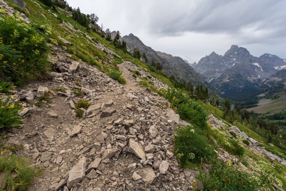
The trail starts in forest and crosses a stream in Glacier Gulch on a bridge about 0.6 mile in. After that the grade steepens through trees and brushy meadows. Around a mile out, the path bends west and brief openings frame Teewinot and Grand Teton. At about 1.7 miles, pass the Valley Trail junction; the switchbacks continue up a broad ridge with little cover. The climb is the main work here, but it also opens the view back across Jackson Hole and toward Bradley and Taggart lakes.
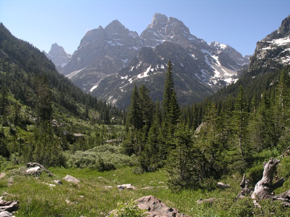
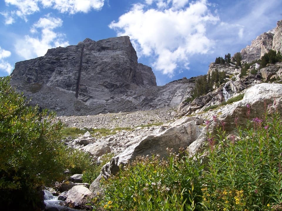
At roughly three miles, take the left branch into Garnet Canyon. This quieter section contours toward the canyon before the walls and peaks close in. Around 3.4 miles, the view opens toward Nez Perce and Middle Teton; from about 3.6 miles, the path turns rocky and climbs through talus beneath Disappointment Peak. Middle Teton’s dark, nearly vertical dike cuts about 800 feet down its face, an easy landmark to pick out as you approach. The canyon puts several big peaks in one view, including Nez Perce, South Teton, Middle Teton, Grand Teton and Disappointment Peak.
At about 4.1 miles one way, the maintained hiking description reaches a massive boulder field. A sign points toward platform campsites and Lower Saddle, but those are beyond this trail’s mapped endpoint. Crossing the roughly 350-foot boulder maze is unmarked and requires scrambling and confident route-finding. You can make the boulder field your turnaround and enjoy the canyon without crossing it; don’t treat the route beyond as an ordinary marked hiking trail. Crossing the maze leads to The Meadows, a high alpine cirque and camping zone below the peaks, with Spaulding Falls dropping down the north talus. That longer continuation is about 9.4 miles round trip and belongs to a more demanding climbing approach, not the standard Garnet Canyon hike. The peaks are close enough to feel like a climbing approach, which is exactly what the upper canyon becomes for climbers.
Wildlife
 172 sightingsGrizzly BearMost seen around 7 PMSighting map
 195 sightingsBrown BearMost seen around 6 AMSighting map
 32 sightingsGray WolfMost seen around 7 PMSighting map
 1,816 sightingsMooseMost seen around 7 AMSighting map
 614 sightingsBisonMost seen around 6 AMSighting map
 738 sightingsElkMost seen around 7 PMSighting map
Sighting maps show where each species has been reported across Grand Teton. Wildlife moves, so no sighting is guaranteed.
Keep exploring
 ChallengingDelta Lake Trail7.6 mi · 6 hr · At the trailheadA steep boulder climb to turquoise water below the Tetons.
 ModerateJenny Lake Loop Trail7.1 mi · 4 hr · 1.4 mi awayThe full-lake loop brings the Cathedral Group into view.
 EasyMoose Ponds Loop Trail3.4 mi · 2 hr · 1.4 mi awayWillow ponds and a Lupine Meadows loop under Teewinot’s peaks.
 ChallengingLake Solitude Trail15.1 mi · 11 hr · 2.3 mi awayA full-day climb through Cascade Canyon to a high alpine lake.
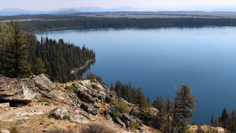 ModerateInspiration Point Trail1.8 mi · 2.5 hr · 2.3 mi awayA short, steep climb above Jenny Lake to a full Teton panorama.
 ChallengingHurricane Pass via South Fork Cascade Canyon20 mi · 13.5 hr · 2.3 mi awayA glacier and the Three Tetons reward a very long day.
 ChallengingAvalanche Divide Trail20.8 mi · 13 hr · 2.3 mi awayA 20.8-mile alpine out-and-back to the divide below The Wall.
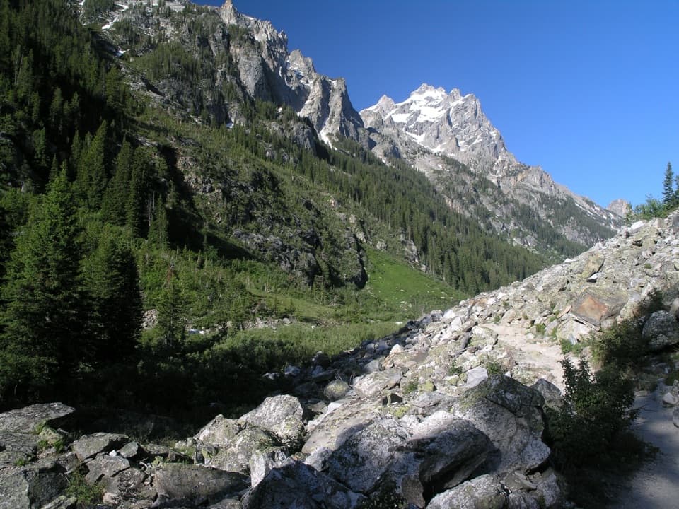 ModerateForks of Cascade Canyon9.4 mi · 7 hr · 2.3 mi awayA high canyon walk whose hardest steps come before the big views.
 Sight · 1 mi awayMoose PondsA short Jenny Lake walk to moose country.
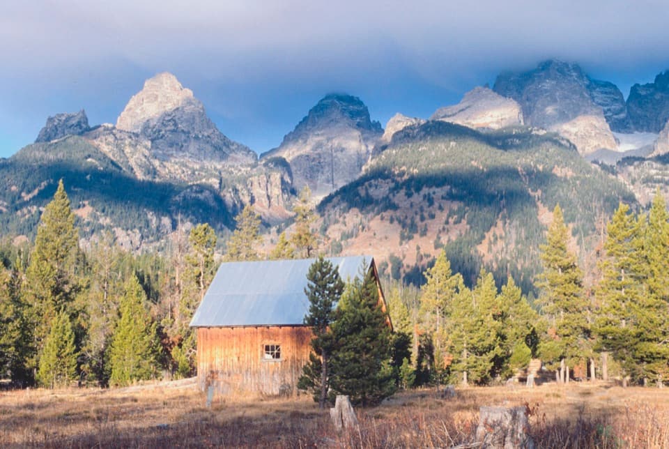 Sight · 1.3 mi awayLucas-Fabian HomesteadA homestead stop with Teton views and a 58-year-old climber's story.
 Sight · 1.4 mi awayJenny Lake East Shore Boat DockA ten-minute crossing shortcuts the walk to the west-shore trails.
 Visitor center · 1.5 mi awayJenny Lake Visitor CenterStep into Crandall’s photo studio before a boat ride or hike.
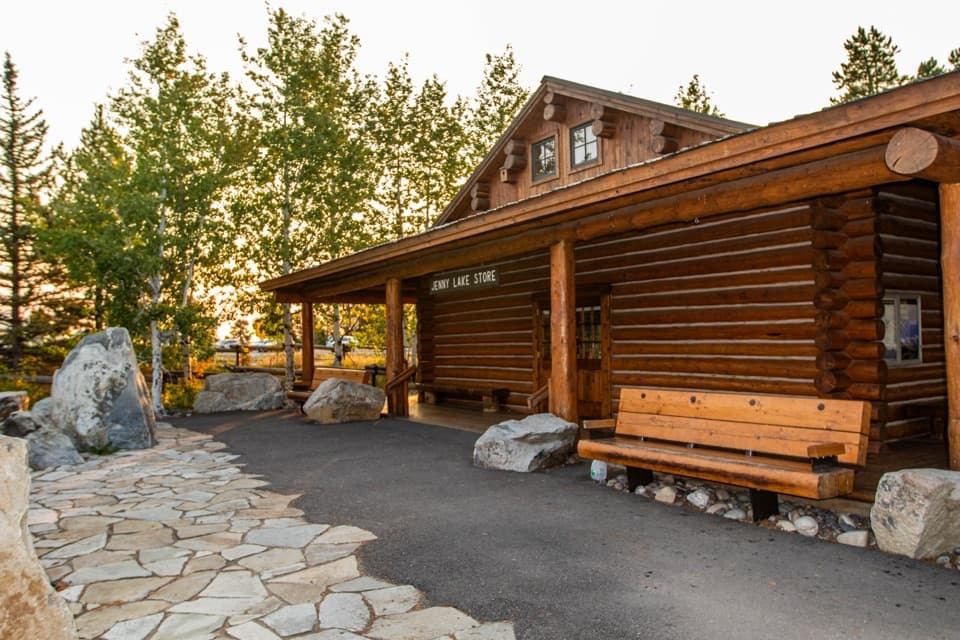 Store · 1.5 mi awayJenny Lake StoreHandy snacks and outdoor supplies beside the Jenny Lake Visitor Center.
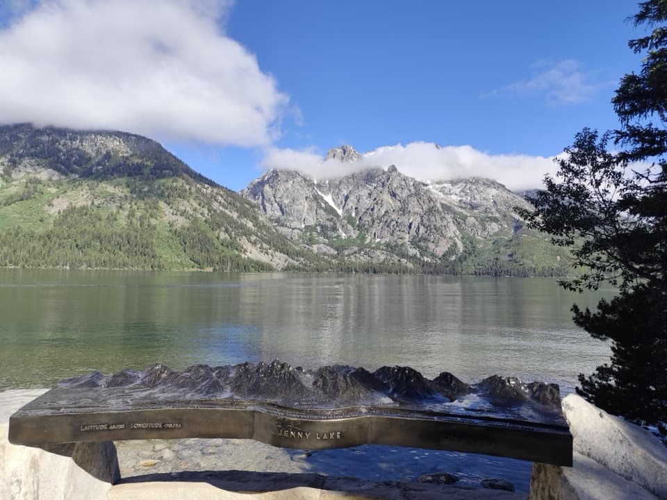 Sight · 1.5 mi awayTeewinot OverlookSee why Teewinot means “many pinnacles” from the easy lakeshore.
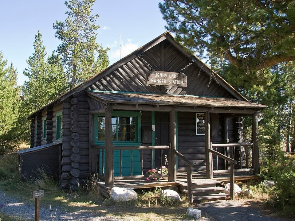 Ranger station · 1.6 mi awayJenny Lake Ranger StationA 1925 homestead cabin still handles climbing questions.Sight · 1.6 mi awayDelta LakeTurquoise water under the Grand, reached by a steep unofficial route.
Parkwolf’s Grand Teton ranking

The audio tour guide for the drive, plus offline maps, trails, and wildlife heatmaps for when the signal drops.