Pros & cons
PROS
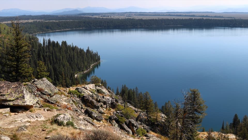
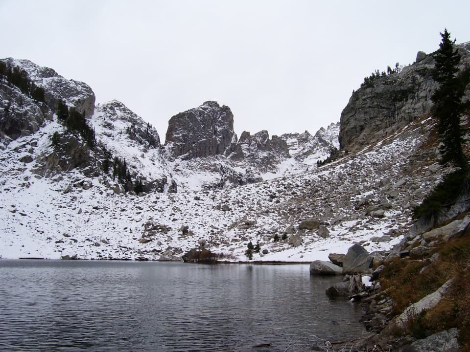
- Rare, above-lake vantage of Snowdrift and Kit Lakes framed by massive granite walls
- Serious solitude compared to the busy main Cascade Canyon corridor
CONS
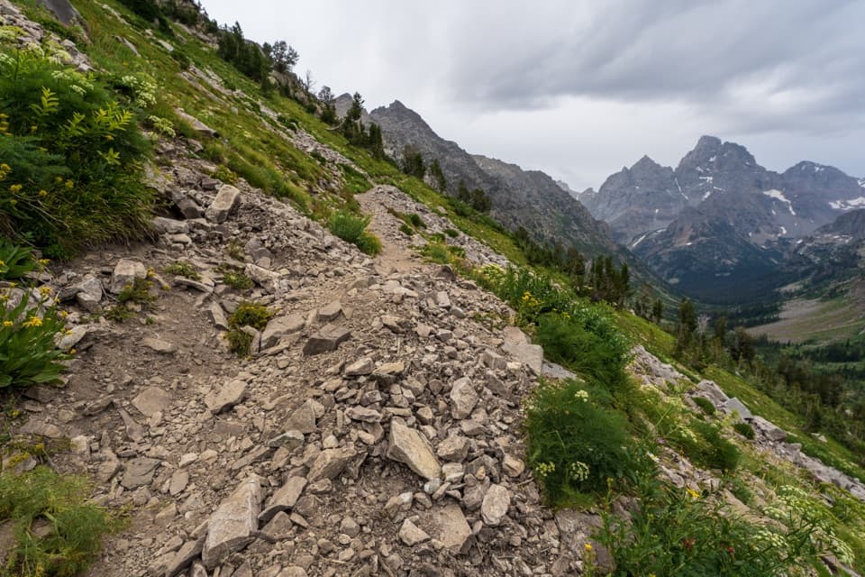
- Unmarked, intermittent use-trail with sustained talus and route-finding
- Snow often lingers into July, making the upper slopes icy or impassable
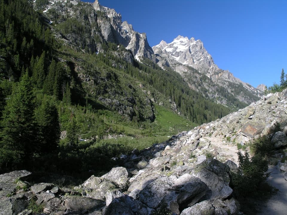
Park at the South Jenny Lake area and begin from the Jenny Lake Trailhead; hike up Cascade Canyon to the South Fork junction to access the Avalanche Divide spur. Reference for reaching the Cascade Canyon trailhead: [tetonhikingtrails.com](https://www.tetonhikingtrails.com/cascade-canyon.htm).
This is a strenuous, high-elevation, largely unmarked alpine route with loose talus, intermittent cairns, and potential snowfields into mid-summer. Only attempt in stable weather with solid route-finding skills and proper gear. For multi-day trips, a backcountry camping permit is required. Sources: [backpacker.com](https://www.backpacker.com/trips/trips-by-national-park/grand-teton-national-park/grand-teton-national-park-avalanche-canyon-to-cascade-canyon?scope=anon), [freeroaminghiker.com](https://freeroaminghiker.com/avalanche-divide/), [hike734.com](https://hike734.com/hikinggrandteton/avalanche-divide/), [youtube.com](https://www.youtube.com/watch?v=9_b6P1dUbEw), [alltrails.com](https://www.alltrails.com/trail/us/wyoming/avalanche-canyon-to-cascade-canyon).
Overview
Avalanche Divide is a strenuous, high-alpine spur that leaves the South Fork of Cascade Canyon and climbs to a lofty pass with knockout views. The spur itself runs about 1.8 miles one way from the South Fork junction to the divide, on rough, rocky terrain with intermittent tread and real exposure. Most people reach it via the main Cascade Canyon corridor, so plan for significant additional mileage beyond the spur.
What You’ll See
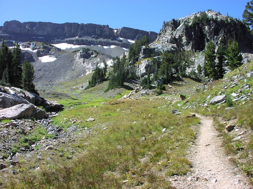
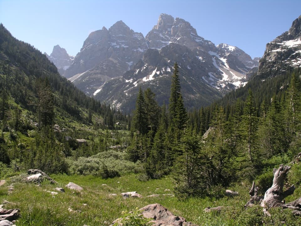
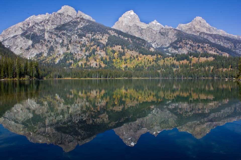
This climb trades trees for tundra as you rise above treeline into a basin of granite walls and glacial remnant features. Expect a front-row look at the headwall known as “The Wall,” and a dramatic perch above intensely blue Snowdrift Lake with smaller, bright-blue Kit Lake tucked nearby. Iconic summits—including the Grand, Middle, and South Tetons—fill the skyline, with rugged Mount Wister anchoring the view across the divide. In summer, flower-filled meadows give way to talus and lingering snow patches near the top; marmots and pikas whistle from the rocks.
Trail Character & Difficulty
This is not a fully maintained, signed path. The branch to Avalanche Divide becomes a use-trail with bits of cairns, stretches of talus and scree, and occasional snow well into summer. It’s steep, exposed, and slow going—best for hikers comfortable with route-finding and unstable footing. Treat it like an alpine objective, not a casual side trip.
How to Approach It
From the South Jenny Lake area, hike up Cascade Canyon to the South Fork junction, then head up the Avalanche Divide spur. The spur itself is 1.8 miles one way; your total day will depend on how you reach the junction (some turn this into a huge out-and-back day; others weave it into 2–3 day backpacking itineraries using designated backcountry zones). If you prefer a more straightforward high pass on maintained tread, Hurricane Pass via the South Fork offers comparable big-mountain views with less navigation puzzle.
Best Time to Hike
Aim for the high-summer window of June through September, when the pass is most likely to be snow-free and creek crossings are manageable. Even then, expect lingering snowfields into July and classic afternoon thunderstorms—start early for firmer snow, steadier footing, and safer weather. Cooler, clearer mornings also tend to deliver the best photography light on the walls and lakes.
Tips
- Bring a real navigation toolkit (map/GPS), sturdy boots, and poles for talus and snow.
- Start early, build turnaround times, and keep a sharp eye for cairns where the tread fades.
- For overnights, secure a backcountry permit for the appropriate camping zones; there’s no camping right at the divide.
Elevation
1.8 mi · 2 hrWildlife on this trail
Near Avalanche Divide Trail
All places →All trails →
Jenny LakeIconic lake ringed by Teton peaks, with ferry to epic hikesTrailhead · Restroom
Oxbow Bend TurnoutMirror-like Moran reflections and easy wildlife from a roadside pull-offPullout · Parking
Jenny Lake OverlookDrive-up vista of Jenny Lake and the jagged TetonsPullout · Parking
Schwabacher LandingMirror-like Teton reflections on a calm Snake River side channelTrailhead · Parking
Teton Crest TrailA bucket-list high route stitching together the Tetons’ best miles.Challenging · 39 mi · 96 hr
Jenny Lake LoopIconic lakeshore loop with nonstop Teton views and optional waterfall spurModerate · 7.1 mi · 3 hr
Jenny Lake Loop TrailClassic shoreline loop with nonstop Teton-and-lake viewsModerate · 7.6 mi · 3 hr
Cascade Canyon TrailBig Teton drama with modest gain: waterfalls, views, and moose.Moderate · 8.8 mi · 5.5 hr