Parking
Death Canyon Trailhead, off Moose-Wilson Road; follow the Valley Trail connection from the lot.
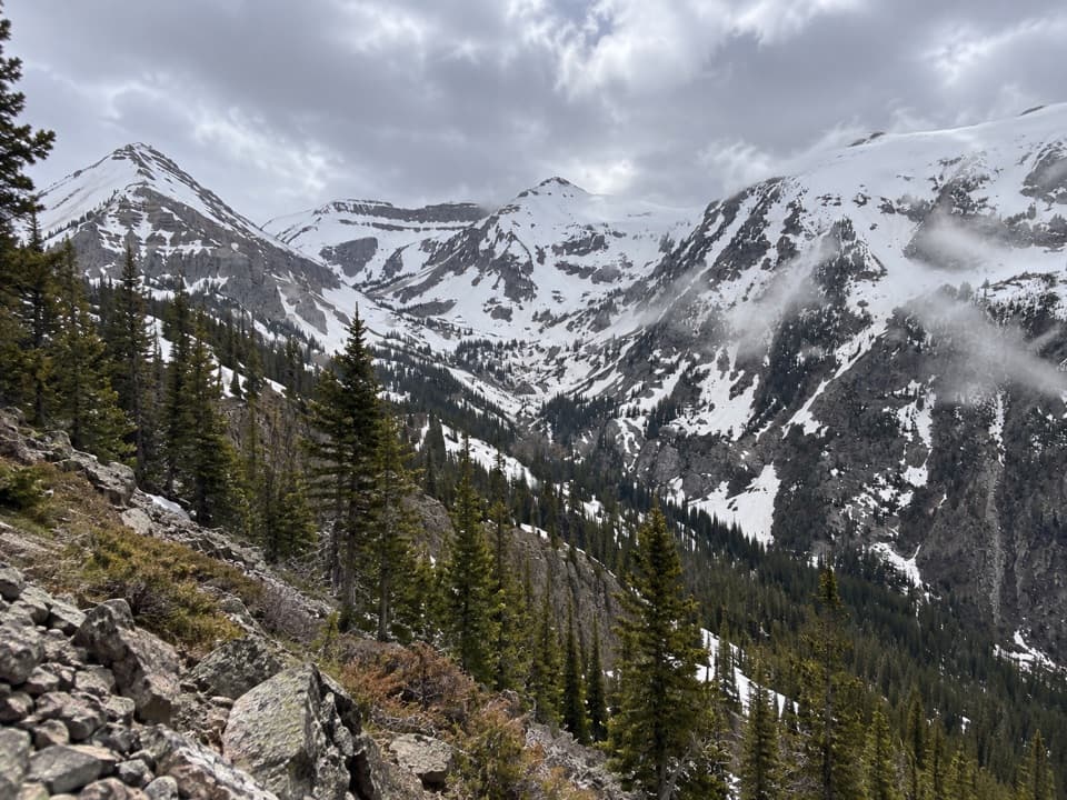
Grand Teton National Park, WY
A full-day climb from a lake overlook into high alpine country.
Overview
Open Canyon to Mount Hunt Divide is a very strenuous 14.8-mile out-and-back from Death Canyon Trailhead in Grand Teton. It follows Valley Trail through the Phelps Lake area, then leaves the lakeside approach for Open Canyon and climbs to an alpine divide above Granite Canyon. The National Park Service lists 3,820 feet of climbing and 7–14 hours. Treat it as an all-day hike, with the return on the same path and a real climb back out of the lake basin. This is the Death Canyon route; the separate Rendezvous Mountain start is a different point-to-point hike.
 Parkwolf’s verdictIs this the hike for you?
Map & elevation
Plan your hike

The highest, rockiest slopes around here are a summer buffet for grizzly bears.
Grand Teton Tour Guide
Parkwolf is a GPS audio tour guide for Grand Teton National Park. As you drive, it chimes in with what’s ahead: hidden gems, upcoming stops, history, geology, and wildlife, right through your car’s speakers.
See the Grand Teton audio tourRecorded for this trailhead
Death Canyon Access: Phelps Lake from Above“You're nearing the access road for Death Canyon and Phelps Lake Overlook. The final road mile is rough, and a high-clearance vehicle is recommended.”
Plays as you drive up to this trailhead in the Parkwolf Grand Teton Tour Guide.
More stories near here in the app
“…We have been driving around with the audio tour and it has been informational and spot on. The whole family has been impressed. We used it for Yellowstone and Grand Teton.”


Trail guide
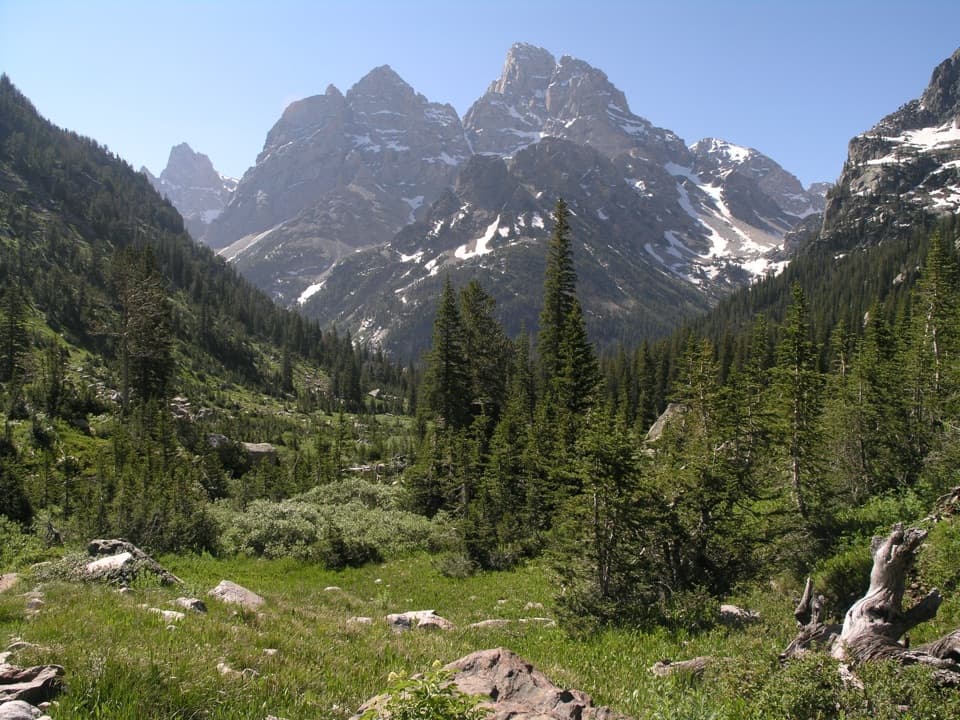
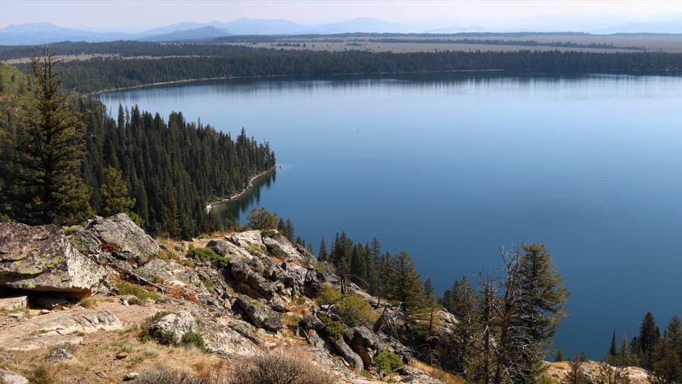
The first mile climbs through forest to Phelps Lake Overlook. The lake opens below with the cliffs of Death Canyon beyond it; this is the first big view and a good place to take in the scale before the long climb. For a photo, keep the cliffs behind the lake so the basin reads clearly. From the overlook, two broad switchbacks drop toward the lake. Around 1.7 miles, Valley Trail meets Death Canyon Trail; stay on Valley Trail toward Phelps Lake. A small footbridge crosses Death Canyon Creek, then the route turns away from the lakeside and climbs a glacial moraine toward Open Canyon. Views of the lake narrow to glimpses through trees, and the forested ridge gives you a quieter stretch between overlooks.
Around mile 2.7, the trail climbs the moraine toward Open Canyon Connector, crosses an easier wooded ridge, then drops briefly before the final junction around mile 3.5. Leave Valley Trail here for Open Canyon. A broad mountainside meadow opens a view across Jackson Hole; after that, the path narrows back into woods and reaches Open Canyon Creek. The rushing water and boulders mark a natural pause before the harder ascent. The meadow is the best place on this stretch to look back across the valley, while Phelps Lake Overlook is the stronger lake-and-cliff view.
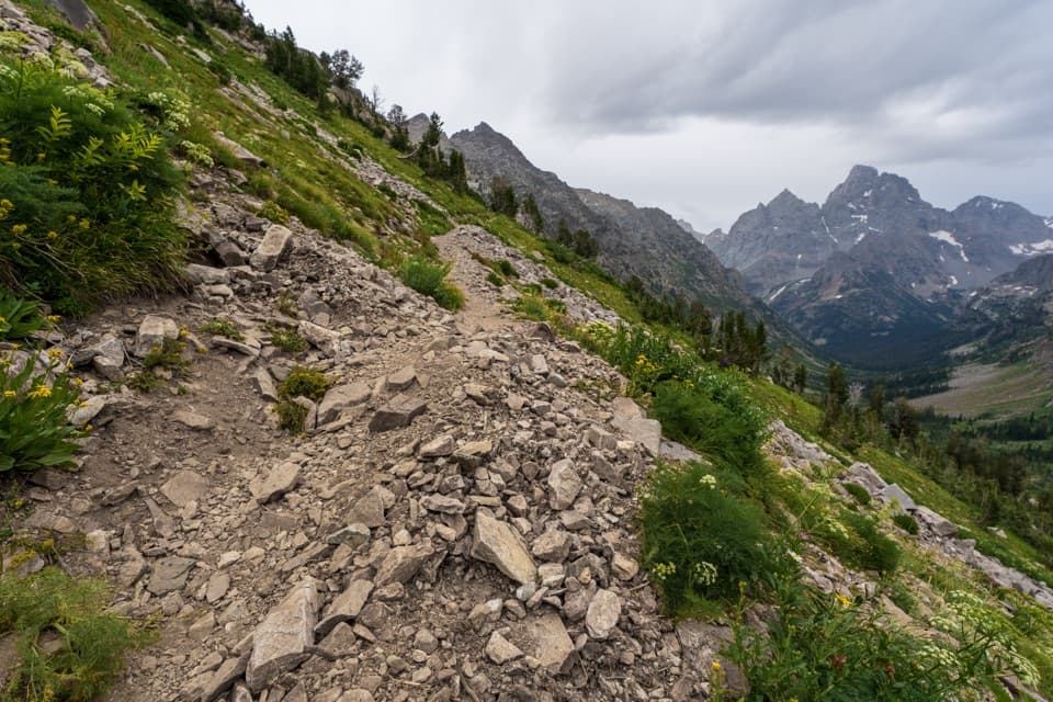
Above the creek, Open Canyon climbs steadily through evergreen forest. This is a long, quiet middle section with few views and a sustained grade, so the divide is still a long way off when the creek drops out of sight. The route passes through the Open Canyon Camping Zone. Roughly a mile below the divide, trees begin to thin and switchbacks climb into more open alpine terrain. Whitebark pine, fir and spruce give way to rocky slopes and cliffs near the top. The path is narrow and steep, with steps and switchbacks; the National Park Service calls the hike very strenuous for good reason.
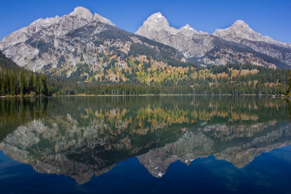
The divide opens into a view down Granite Canyon, with Rendezvous Mountain ahead and the canyon falling steeply below. It is a high-country finish after a long forested climb, not a quick summit spur. The same route returns to Death Canyon Trailhead, including the descent toward Phelps Lake and the final climb back to the start.
Wildlife
 172 sightingsGrizzly BearMost seen around 7 PMSighting map
 195 sightingsBrown BearMost seen around 6 AMSighting map
 32 sightingsGray WolfMost seen around 7 PMSighting map
 1,816 sightingsMooseMost seen around 7 AMSighting map
 614 sightingsBisonMost seen around 6 AMSighting map
 738 sightingsElkMost seen around 7 PMSighting map
Sighting maps show where each species has been reported across Grand Teton. Wildlife moves, so no sighting is guaranteed.
Keep exploring
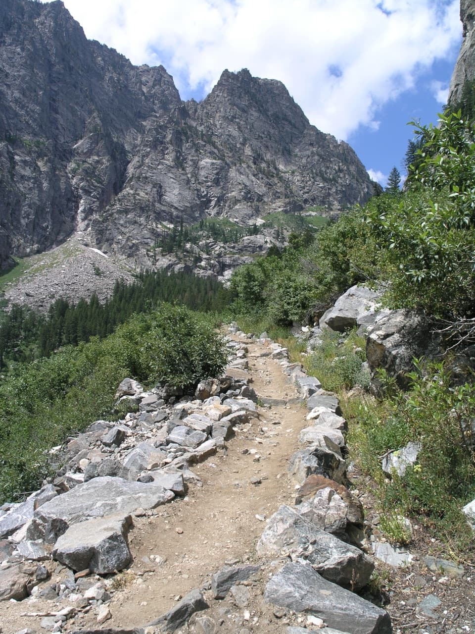 ChallengingDeath Canyon-Static Peak Divide Junction Trail7.7 mi · 6 hr · At the trailheadA steep canyon walk to iron-stained cascades and an alpine patrol cabin.
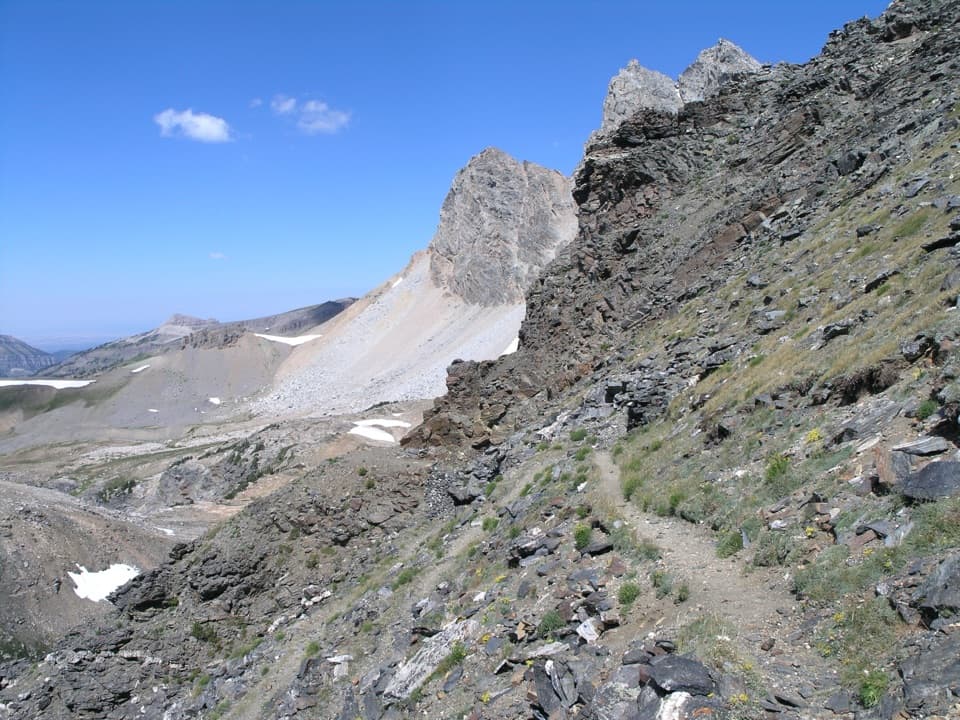 ChallengingStatic Peak Divide Trail16 mi · 10 hr · At the trailheadA full-day climb to a high pass above Alaska Basin.
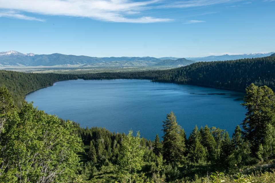 EasyPhelps Lake Overlook2 mi · 1.5 hr · At the trailheadA short climb to a high view over Phelps Lake
 ModeratePhelps Lake Trail from Death Canyon Trailhead3.7 mi · 2.5 hr · At the trailheadA lake overlook and shore stop, with a steep climb back.
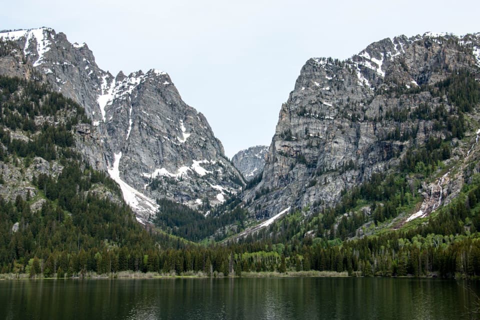 EasyLake Creek-Woodland Trail Loop3 mi · 2 hr · 2.1 mi awayWooded loop to Phelps Lake with Death Canyon views.ModerateAspen Ridge-Boulder Ridge Loop6.2 mi · 4 hr · 2.1 mi awayAspen groves, glacial boulders, and a south-shore look into Death Canyon.
 ModeratePhelps Lake Loop Trail6.4 mi · 4 hr · 2.1 mi awayA lake circuit with rocky shores, mountain views and a beach break.
 EasyMurie Ranch Trail1.1 mi · 45 min · 3.2 mi awayA flat, wooded walk to a landmark of conservation history.
 Sight · 0.3 mi awayWhite Grass Dude RanchA 1919 dude ranch became a center for preserving western park buildings.Sight · 0.9 mi awayPhelps Lake OverlookA forest hike opens onto a wide view of Phelps Lake.Sight · 1.2 mi awayPhelps LakeA mountain lake with a sandy beach and a distinctive boulder.
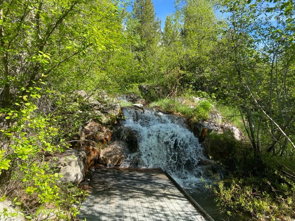 Sight · 2.1 mi awayLake Creek OverlookA quick, accessible stop beside Lake Creek's small cascade.
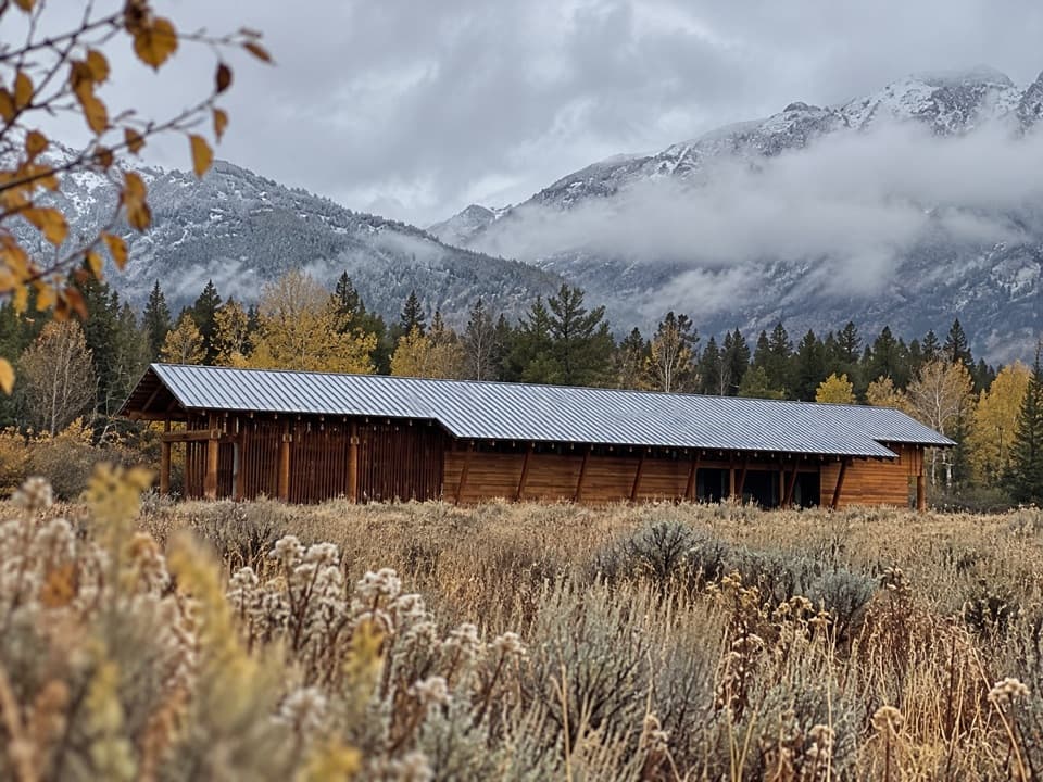 Visitor center · 2.1 mi awayLaurance S. Rockefeller Preserve CenterA sensory introduction to the preserve before the Phelps Lake walk.
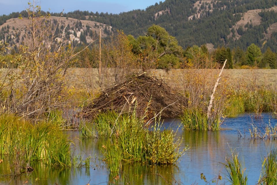 Sight · 2.2 mi awaySawmill Ponds OverlookA spring-fed beaver pond with a 1920s sawmill story.Sight · 2.7 mi awayMurie RanchA ranch home where the Muries helped shape modern conservation.
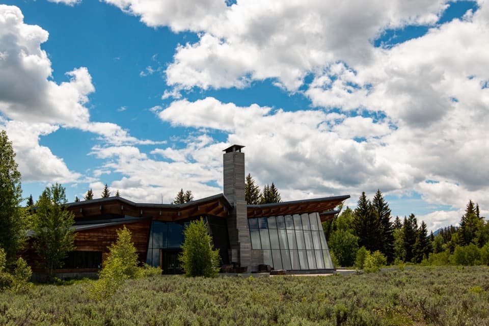 Visitor center · 3.2 mi awayCraig Thomas Discovery & Visitor CenterStart with the map, stay for the mountain reveal inside.
Parkwolf’s Grand Teton ranking
The audio tour guide for the drive, plus offline maps, trails, and wildlife heatmaps for when the signal drops.