Parking
Use the Laurance S. Rockefeller Preserve lot off Moose-Wilson Road. It holds about 50 cars and can fill in mid-summer; arrive early or expect to wait. No day-use reservation or permit is listed. The park entrance fee applies.

Grand Teton National Park, WY
A lake circuit with rocky shores, mountain views and a beach break.
Overview
Map & elevation
Plan your hike

The highest, rockiest slopes around here are a summer buffet for grizzly bears.
Grand Teton Tour Guide
Parkwolf is a GPS audio tour guide for Grand Teton National Park. As you drive, it chimes in with what’s ahead: hidden gems, upcoming stops, history, geology, and wildlife, right through your car’s speakers.
See the Grand Teton audio tourRecorded for this trailhead
Rockefeller Preserve: Listen Before the Lake Walk“You're nearing the Rockefeller Preserve Center, where I'd start with the soundscape room. A three-minute recording builds to a thunderstorm using sounds recorded here in the preserve.”
Plays as you drive up to this trailhead in the Parkwolf Grand Teton Tour Guide.
More stories near here in the app
“…We have been driving around with the audio tour and it has been informational and spot on. The whole family has been impressed. We used it for Yellowstone and Grand Teton.”


Trail guide
This is the complete Phelps Lake circuit from the Laurance S. Rockefeller Preserve, not the separate overlook walk or the shorter south-shore loop. Take Lake Creek out, circle the lake’s west, north and east shores, then return on Woodland. Expect 6.4 miles round trip, 1,060 feet of gain and 3–5 hours; plan about four hours for this moderate hike and its stops. A shorter south-shore/Woodland loop is about 3.3 miles. Day hikers need no reservation or permit, but the park entrance fee applies. Pets are not allowed.
From the Preserve lot, walk across open sagebrush to the visitor center and the Lake Creek/Woodland junction. Take Lake Creek for the outbound leg. The path crosses a bridge, climbs gently through forest, crosses Moose-Wilson Road, and passes the Aspen Ridge and Boulder Ridge turnoffs before opening into a meadow with views of Prospector Mountain and Albright Peak. The junctions are useful landmarks; stay on the lake route rather than adding those ridge trails.
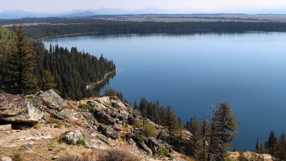
The south shore opens to Phelps Lake, Death Canyon and the southern Teton peaks. West of the lake, a boardwalk crosses wet ground near Huckleberry Point; a 0.2-mile round-trip spur reaches the point. Continue around the north shore, where the route shares a short stretch with Valley Trail before branching back toward the lake. It climbs briefly, crosses Death Canyon Creek and descends toward the eastern shore. A sandy beach and three backcountry campsites are near the northeast end; overnight camping requires a backcountry permit.
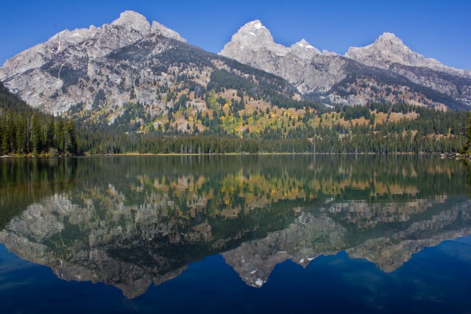
For a phone photo, pause at the open south-shore view and frame the water below the line of peaks. The view brings the lake and the mountains together without adding a side trip.
At the east side, follow the Woodland junction back through trees to the Preserve. The Lake Creek and Woodland legs make a varied loop: open approach and meadow, several miles beside the lake, then a quieter wooded return. The mapped loop follows the full lakeshore; it does not include the optional Huckleberry Point spur or the longer Aspen Ridge and Boulder Ridge extensions.
The Preserve protects the former JY Ranch, whose south-shore sites are part of the walk’s history. Ranch buildings were removed during a landscape restoration from 2004 to 2007. The trail now moves between the open ranch landscape, the creek and forest, and a largely undeveloped lakeshore.
Ice-age glaciers carved the basin that holds Phelps Lake and left moraines around it. The lake reaches roughly 160 feet deep. From shore, the abrupt waterline below the steep canyon walls makes that glacial setting easy to read.
Wildlife
 172 sightingsGrizzly BearMost seen around 7 PMSighting map
 195 sightingsBrown BearMost seen around 6 AMSighting map
 32 sightingsGray WolfMost seen around 7 PMSighting map
 1,816 sightingsMooseMost seen around 7 AMSighting map
 614 sightingsBisonMost seen around 6 AMSighting map
 738 sightingsElkMost seen around 7 PMSighting map
Sighting maps show where each species has been reported across Grand Teton. Wildlife moves, so no sighting is guaranteed.
Keep exploring
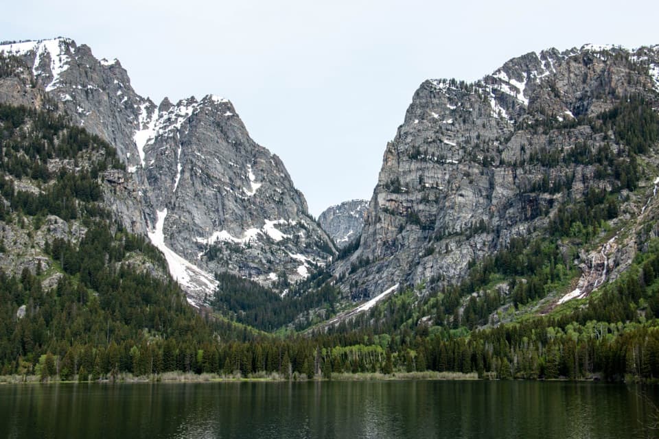 ModerateAspen Ridge-Boulder Ridge Loop6.2 mi · 4 hr · At the trailheadAspen groves, glacial boulders, and a south-shore look into Death Canyon.EasyLake Creek-Woodland Trail Loop3 mi · 2 hr · At the trailheadWooded loop to Phelps Lake with Death Canyon views.
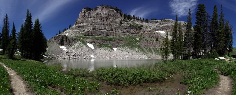 ChallengingMarion Lake via Granite Canyon18.8 mi · 12 hr · 1.6 mi awayA full day up Granite Canyon to a high alpine lake.
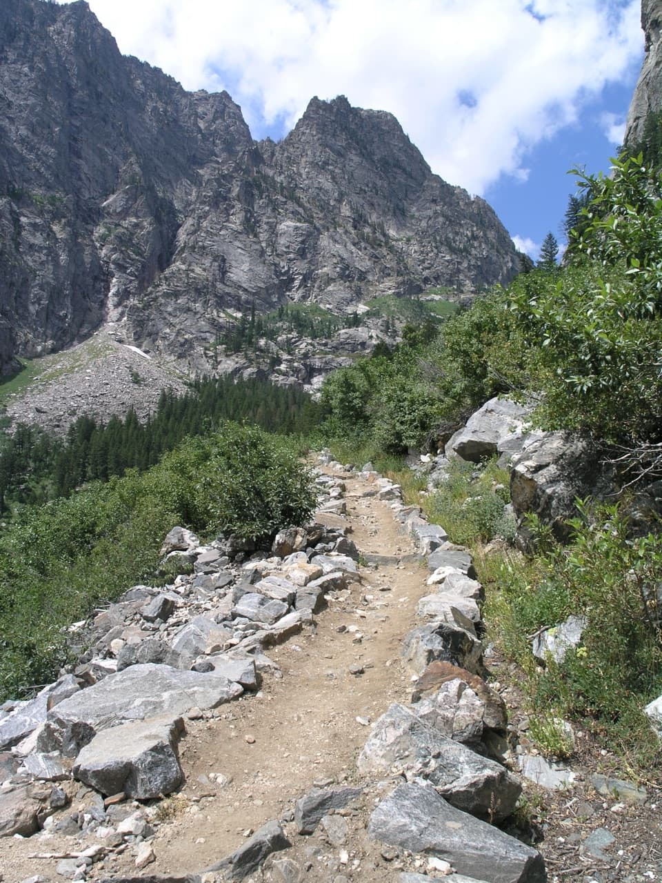 ChallengingGranite Canyon - Fox Creek Pass - Death Canyon Loop24.2 mi · 16 hr · 1.6 mi awayTwo nights link Granite Canyon, Fox Creek Pass, and Death Canyon.
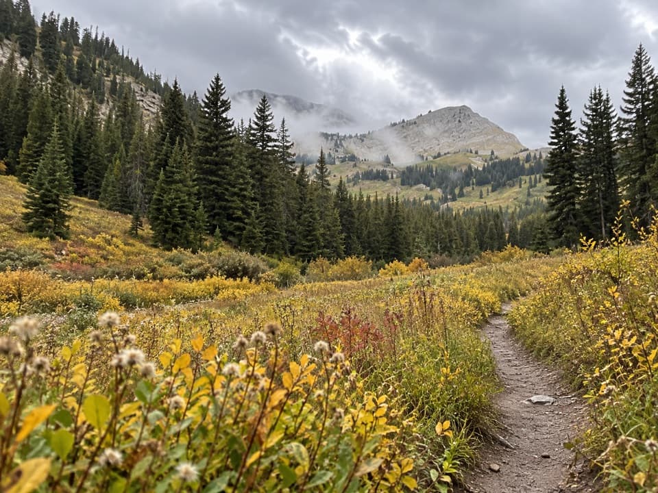 ChallengingGranite Canyon Trail13.4 mi · 9 hr · 1.6 mi awayA whole day beside Granite Creek, climbing through wildflower meadows.
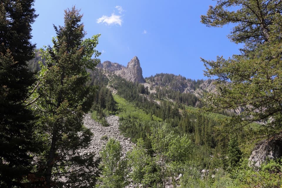 ChallengingGranite Canyon/Open Canyon Loop via Valley Trail20.2 mi · 11 hr · 1.6 mi awayA 20 mile loop over Mount Hunt Divide and down Open Canyon.
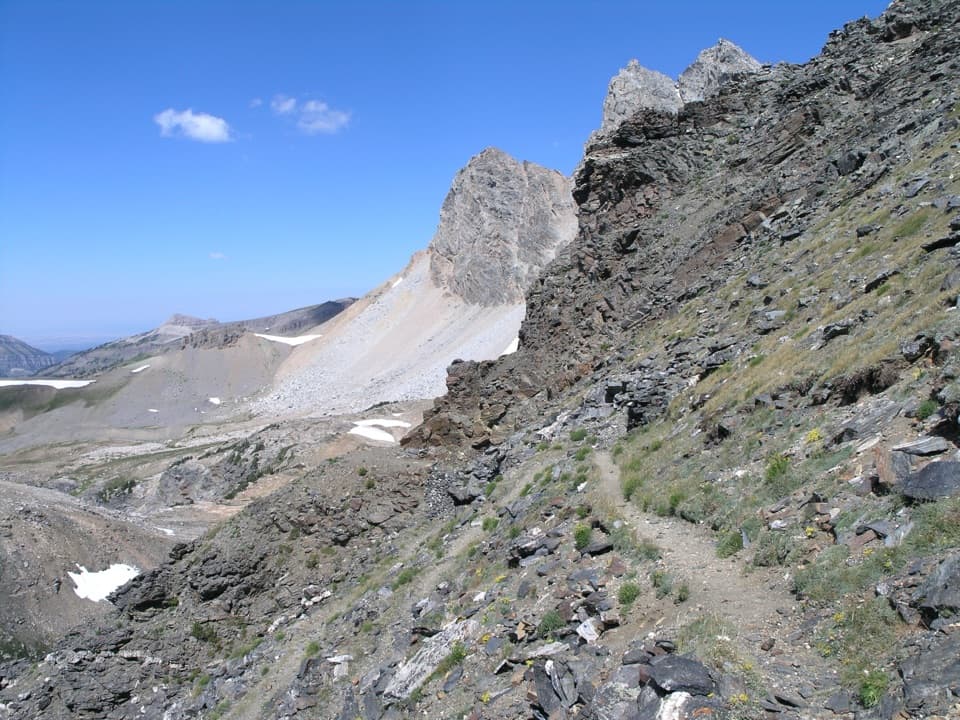 ChallengingStatic Peak Divide Trail16 mi · 10 hr · 2.1 mi awayA full-day climb to a high pass above Alaska Basin.
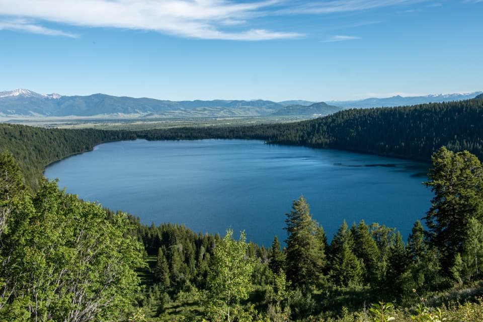 EasyPhelps Lake Overlook2 mi · 1.5 hr · 2.1 mi awayA short climb to a high view over Phelps Lake
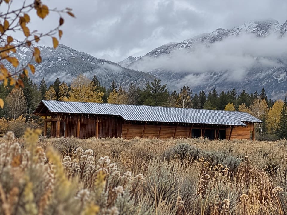 Visitor center · 0.1 mi awayLaurance S. Rockefeller Preserve CenterA sensory introduction to the preserve before the Phelps Lake walk.
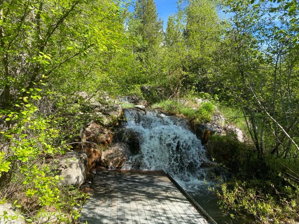 Sight · 0.2 mi awayLake Creek OverlookA quick, accessible stop beside Lake Creek's small cascade.Sight · 1.6 mi awayPhelps LakeA mountain lake with a sandy beach and a distinctive boulder.
 Sight · 2 mi awayWhite Grass Dude RanchA 1919 dude ranch became a center for preserving western park buildings.Sight · 2.5 mi awayPhelps Lake OverlookA forest hike opens onto a wide view of Phelps Lake.
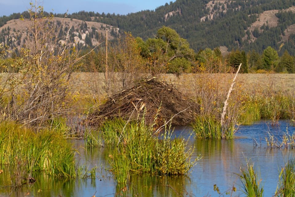 Sight · 2.6 mi awaySawmill Ponds OverlookA spring-fed beaver pond with a 1920s sawmill story.
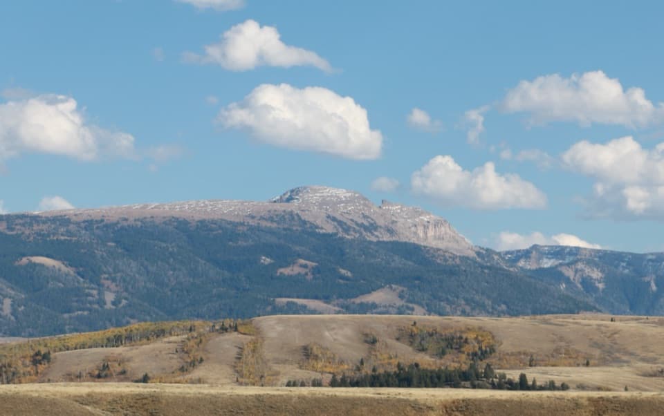 Scenic pullout · 2.7 mi awaySleeping Indian TurnoutA quick pause to find Sheep Mountain’s reclining profile.
 Sight · 2.8 mi awayMurie RanchA ranch home where the Muries helped shape modern conservation.
Parkwolf’s Grand Teton ranking

The audio tour guide for the drive, plus offline maps, trails, and wildlife heatmaps for when the signal drops.