Baker & Johnson Lakes Loop in Great Basin National Park

#6 of 29 trails in Great Basin

Great Basin National Park, NV

Baker & Johnson Lakes Loop

Two high lakes and a century of tungsten mining.

Photo: National Park Service
Length
11.7mi
Time
10hr
Elev. change
3,228ft
Difficulty
Challenging
  • Loop
  • No dogs
  • High point 11,230 ft

Hear the audio tour

Baker Creek Trailhead: Lake or Meadow Loop

Overview

About Baker & Johnson Lakes Loop

Why go

  • Links two alpine lakes with the historic Johnson Lake mining district.
  • A varied high-country route through streamside forest, alpine cirques, and a mountain saddle.

Heads up

  • The ridge connector is steep, partly unmaintained, and can be hard to follow.
  • High altitude and roughly 3,280 feet of climbing make this a long, strenuous day.

Map & elevation

The route

Loading the Great Basin map
Full map
Elevation8,002–11,230 ft
TrailheadBaker Creek Trailhead38.97655, -114.24531
Keep this map with you offline in the Parkwolf app

Plan your hike

Before you go

Parking

Baker Creek Trailhead, at the end of 3.5 miles of dirt and gravel road from NV-488. Park only in designated spaces; roadside parking is prohibited. Pit toilet at the trailhead; no running water. The road can close during winter and spring weather.

Safety

Steep, sometimes indistinct tread on the connector between the lakes; high-altitude effort above 10,000 feet; lingering early-season snow; no potable water along Baker Creek Road. Do not enter or disturb historic cabins or mining equipment.

4 active Great Basin alerts

  • CautionStage II fire restrictions prohibit outdoor fires and smokingStage II fire restrictions are active throughout Great Basin National Park because of extreme fire danger. - Do not use campfires, charcoal grills, or smoke outdoors anywhere in the park.Official details
  • CautionPotable water is unavailable at park campgroundsPotable water is currently unavailable in every Great Basin National Park campground; bring sufficient water or fill containers before settling in.Official details
See all 4 alerts
A park ranger sits on a dash-mounted phone, talking, as Parkwolf’s Tour Guide plays “Army Cutworm Moths: A Grizzly Bear Buffet” on Grand Loop Road below Dunraven Pass in Yellowstone
Parkwolf Tour GuideThe highest, rockiest slopes around here are a summer buffet for grizzly bears.

Great Basin Tour Guide

Your drive to Baker & Johnson Lakes Loop, narrated.

Parkwolf is a GPS audio tour guide for Great Basin National Park. As you drive, it chimes in with what’s ahead: hidden gems, upcoming stops, history, geology, and wildlife, right through your car’s speakers.

Recorded for this trailhead

Baker Creek Trailhead: Lake or Meadow Loop
0:00 / 0:26
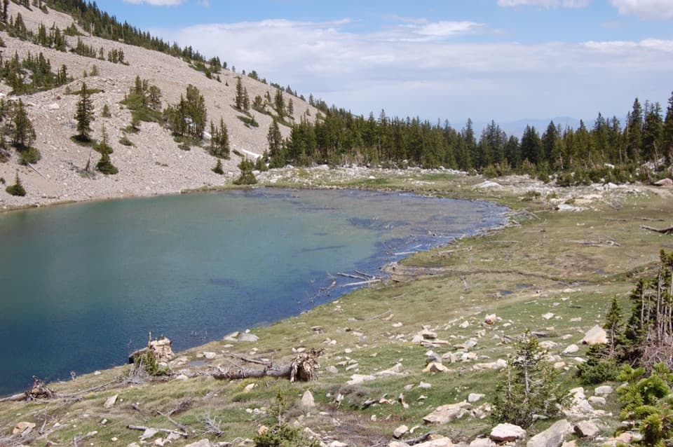
“You're nearing Baker Creek Trailhead, the start of the long climb to Baker Lake. The lake sits in a rocky bowl beneath Baker and Pyramid peaks, with snow often lingering along the shore.”

Plays as you drive up to this trailhead in the Parkwolf Great Basin Tour Guide.

More stories near here in the app

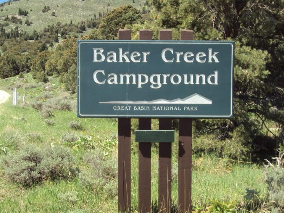
  • Baker Creek Campground: Choose Your Setting
  • Grey Cliffs and Pole Canyon: A Shaded Lunch Stop
  • Lehman Caves: Look for the Shields
  • Packrats Keep a Climate Record
  • 36 audio storiesacross Great Basin’s roads, triggered by GPS as you drive
  • Wildlife heatmapsfor Elk, Mule Deer, Wild Turkey, and 13 more
  • Works offlinemaps, 29 trails, 29 places, and audio download before you lose signal
  • CarPlay readysimple controls built for the drive
★★★★★
“Fantastic app with many points of information… It’s great to just turn on while you’re driving and it gives you an audio tour of the national Park. We love it!!!!”
JMJamesApp Store review
Download Parkwolf on the App StoreGet Parkwolf on Google Play

4.7 from 8,600+ ratings

Trail guide

Hiking Baker & Johnson Lakes Loop

A full day in the high countryBaker & Johnson Lakes Loop links two alpine lakes and the old Johnson Lake mining district in a…

Baker & Johnson Lakes Loop links two alpine lakes and the old Johnson Lake mining district in a strenuous backcountry circuit from Baker Creek Trailhead. The published distance is 11.7 miles; the complete line mapped for this route is about 12.4 miles, so plan for the longer day. The loop climbs about 3,280 feet from an 8,020-foot start and spends much of its time above 10,000 feet. Allow 6 to 12 hours, including time to find your way through the high connector. Choose it if you are prepared for a long, steep hike at altitude; it also works as an overnight trip with a backcountry permit.

Baker Creek to Baker LakeFrom the trailhead, Baker Creek Trail climbs through pine, fir, and aspen beside a mountain…

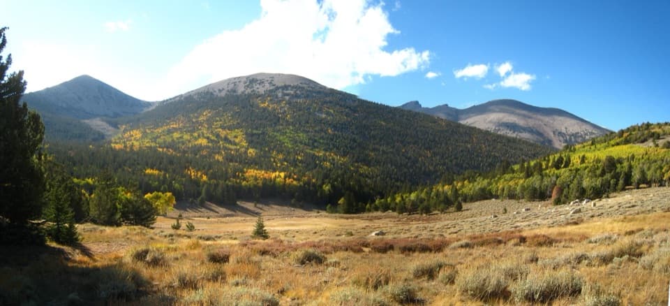
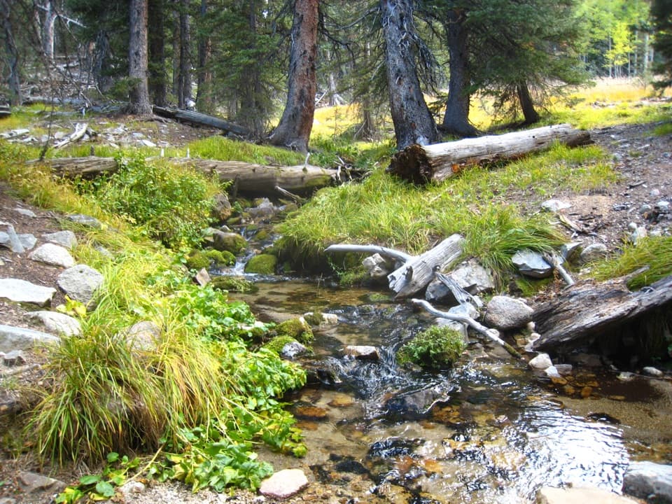
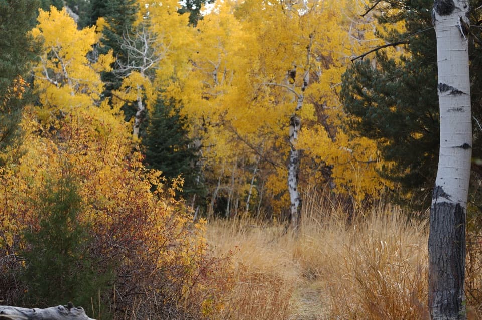
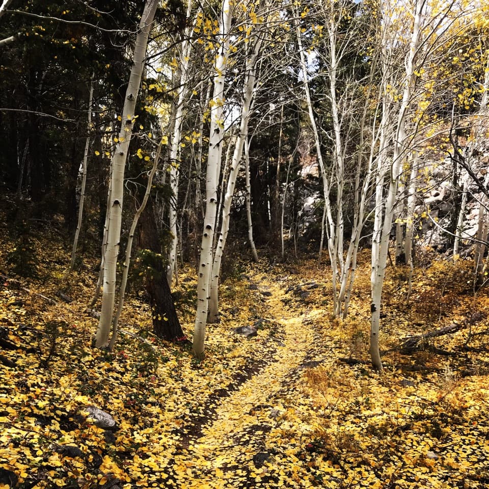
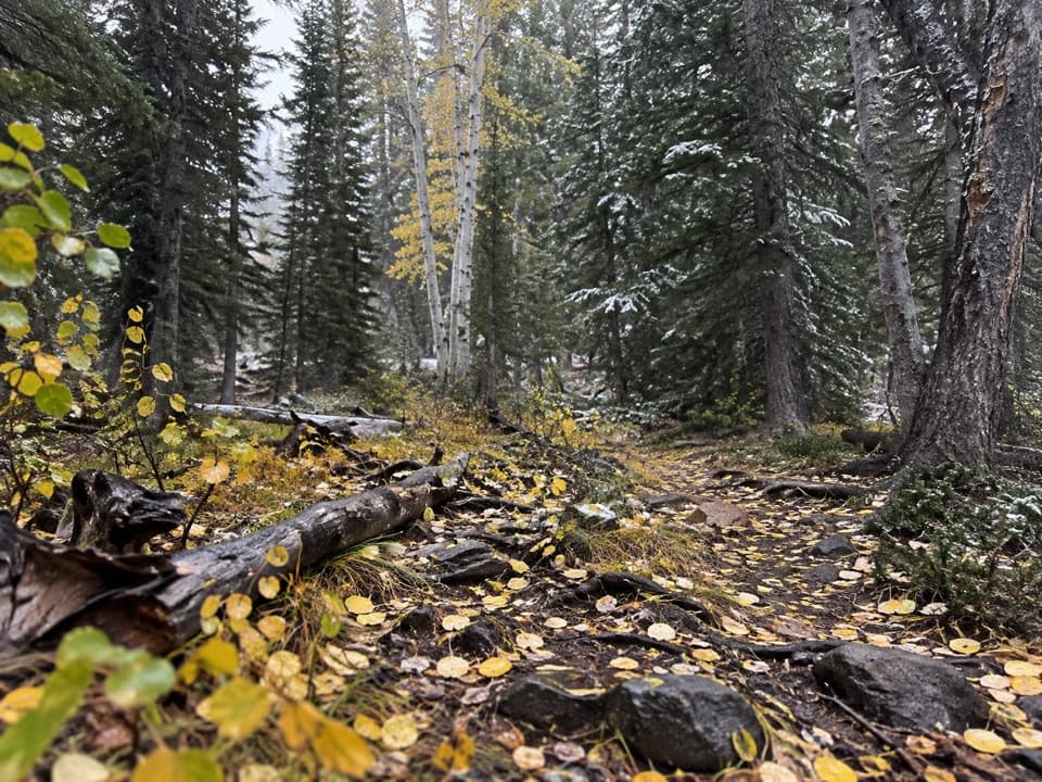
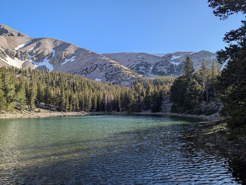
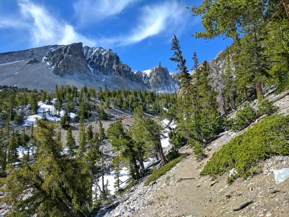
From the trailhead, Baker Creek Trail climbs through pine, fir, and aspen beside a mountain stream. The path crosses the creek several times, then makes broad switchbacks across open sage slopes before returning to aspen and the upper drainage. The steady gain and thin air are the main work here. Near the lake, the route reaches a glacial cirque below Baker and Pyramid peaks. Baker Lake sits among rocky banks, with snow often lasting into early summer; the water level can shrink later in the season as snowmelt runs out. At the shore, frame the lake against the cirque walls, with rock or lingering snow in the foreground.

The connector between the lakesThe route leaves the clearer stream corridor for a steep, rocky and grassy climb toward the…

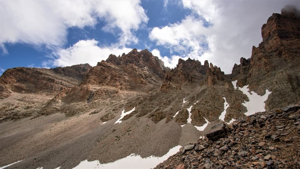
The route leaves the clearer stream corridor for a steep, rocky and grassy climb toward the high saddle between Baker and Johnson peaks. This is the least straightforward part of the loop: some of the connector is unmaintained, and its tread can be faint or hard to follow. Do not treat it like a smooth, signed trail. Carry an offline map, watch the route carefully, and expect early-season snow near the lakes and saddle. The reward is a high crossing with views down toward Johnson Lake and across the surrounding peaks.

Johnson Lake and its mining districtThe descent reaches Johnson Lake and the remains of the Johnson Lake Mining District.

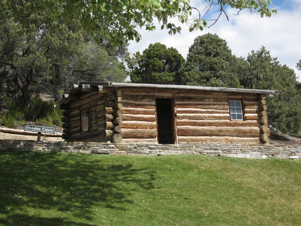
The descent reaches Johnson Lake and the remains of the Johnson Lake Mining District. Tungsten was discovered in the southern Snake Range in the early 1900s; ore was mined and milled here, then shipped for refining into alloy steel used in World War I equipment. Old cabins, machinery, and pieces of an aerial tram still mark the site. They are protected historic resources: look from outside, and leave the buildings and equipment untouched.

The return and practical detailsFrom Johnson Lake, the mapped loop follows Johnson Lake Trail to Timber Creek Trail, then…

From Johnson Lake, the mapped loop follows Johnson Lake Trail to Timber Creek Trail, then descends through the drainage back to Baker Creek Trailhead. The final leg closes the circuit, but it is still a remote route; carry enough food and water for a full day. Potable water is not available along Baker Creek Road, and the trailhead restroom is a pit toilet without running water. The approach is the 3.5-mile dirt-and-gravel Baker Creek Road from NV-488; park only in designated spaces, not along the road. Winter and spring weather can close the road, and snow can make high-country navigation difficult.

Pets are not allowed on park trails, except trained service animals. A free backcountry permit is required for overnight camping. Fires are prohibited above 10,000 feet. If you want a shorter outing, the separate Johnson Lake hike from Snake Creek is about 8 miles round trip; it reaches one lake and does not follow this loop.

Wildlife

Wildlife in Great Basin

All Great Basin wildlife maps

Sighting maps show where each species has been reported across Great Basin. Wildlife moves, so no sighting is guaranteed.

Keep exploring

Near Baker & Johnson Lakes Loop

See it all on the map

Trails that start nearby

Places near the trailhead

Parkwolf’s Great Basin ranking

Top-rated trails in Great Basin

All 29 trails
  1. 1Bristlecone TrailModerate · 2.8 mi
  2. 2Wheeler Peak Summit TrailChallenging · 8.6 mi
  3. 3Alpine Lakes LoopEasy · 2.7 mi
  4. 4Glacier TrailModerate · 4.8 mi
  5. 5Alpine Lakes, Bristlecone, and Glacier LoopChallenging · 6 mi
  6. 7Baker Lake TrailChallenging · 10.4 mi

Take Parkwolf to Great Basin.

The audio tour guide for the drive, plus offline maps, trails, and wildlife heatmaps for when the signal drops.

4.7 from 8,600+ ratings

Download Parkwolf on the App StoreGet Parkwolf on Google Play