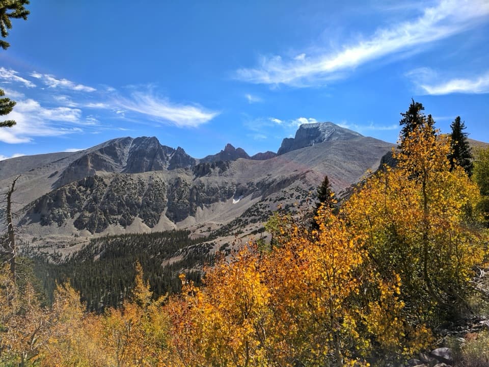
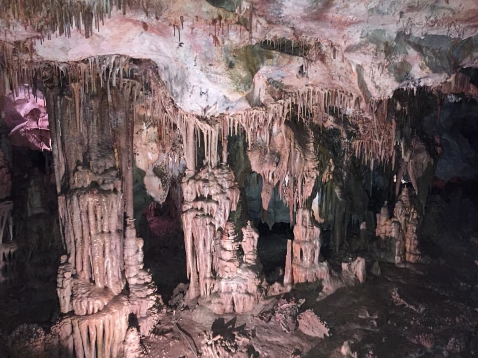
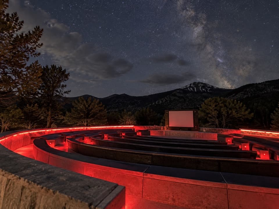
Wheeler Peak Glacier Viewpoint in Great Basin National Park

#8 of 19 sights in Great Basin

Sight · Great Basin National Park

Wheeler Peak Glacier Viewpoint

A high-altitude hike to Nevada’s last glacier, sometimes hidden by rock.

Photo: National Park Service
Type
Sight
Nearest trail
1.3 mi
Audio stories
2 nearby
  • Trailhead
  • Parking
  • Restrooms
  • Scenic viewpoint

Hear the audio tour

Bristlecone Trailhead: The Grove Walk

Overview

About Wheeler Peak Glacier Viewpoint

Why stop

  • Ancient bristlecones and a rare glacier share one high-country hike.

Heads up

  • The high trail ends short of the ice, which can be hidden by rock or snow.

Map

Where it is

Loading the Great Basin map
Full map
SightWheeler Peak Glacier Viewpoint38.99144, -114.30846
Keep this map with you offline in the Parkwolf app

Plan your stop

Before you go

4 active Great Basin alerts

  • CautionStage II fire restrictions prohibit outdoor fires and smokingStage II fire restrictions are active throughout Great Basin National Park because of extreme fire danger. - Do not use campfires, charcoal grills, or smoke outdoors anywhere in the park.Official details
  • CautionPotable water is unavailable at park campgroundsPotable water is currently unavailable in every Great Basin National Park campground; bring sufficient water or fill containers before settling in.Official details
See all 4 alerts
A park ranger sits on a dash-mounted phone, talking, as Parkwolf’s Tour Guide plays “Army Cutworm Moths: A Grizzly Bear Buffet” on Grand Loop Road below Dunraven Pass in Yellowstone
Parkwolf Tour GuideThe highest, rockiest slopes around here are a summer buffet for grizzly bears.

Great Basin Tour Guide

Your drive to Wheeler Peak Glacier Viewpoint, narrated.

Parkwolf is a GPS audio tour guide for Great Basin National Park. As you drive, it chimes in with what’s ahead: hidden gems, upcoming stops, history, geology, and wildlife, right through your car’s speakers.

Recorded for this place

Bristlecone Trailhead: The Grove Walk
0:00 / 0:27
“Up ahead is Bristlecone Trailhead, where I'd choose the hike to Wheeler Peak's bristlecone grove.”

Plays as you drive up to Wheeler Peak Glacier Viewpoint in the Parkwolf Great Basin Tour Guide.

More stories near here in the app

  • Wheeler Peak Summit Trailhead: A Full Hiking Day
  • Wheeler Peak Overlook: Find the Rock Glacier
  • Mather Overlook: Match the Map to the Mountain
  • Mountains Pulled Apart
  • 36 audio storiesacross Great Basin’s roads, triggered by GPS as you drive
  • Wildlife heatmapsfor Elk, Mule Deer, Wild Turkey, and 13 more
  • Works offlinemaps, 29 trails, 29 places, and audio download before you lose signal
  • CarPlay readysimple controls built for the drive
★★★★★
“Fantastic app with many points of information… It’s great to just turn on while you’re driving and it gives you an audio tour of the national Park. We love it!!!!”
JMJamesApp Store review
Download Parkwolf on the App StoreGet Parkwolf on Google Play

4.7 from 8,600+ ratings

Guide

More about Wheeler Peak Glacier Viewpoint

The view is the end of a hikeWheeler Peak Glacier Viewpoint is the rocky end of the Glacier Trail, looking into the high…

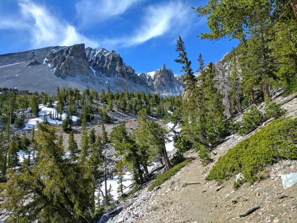
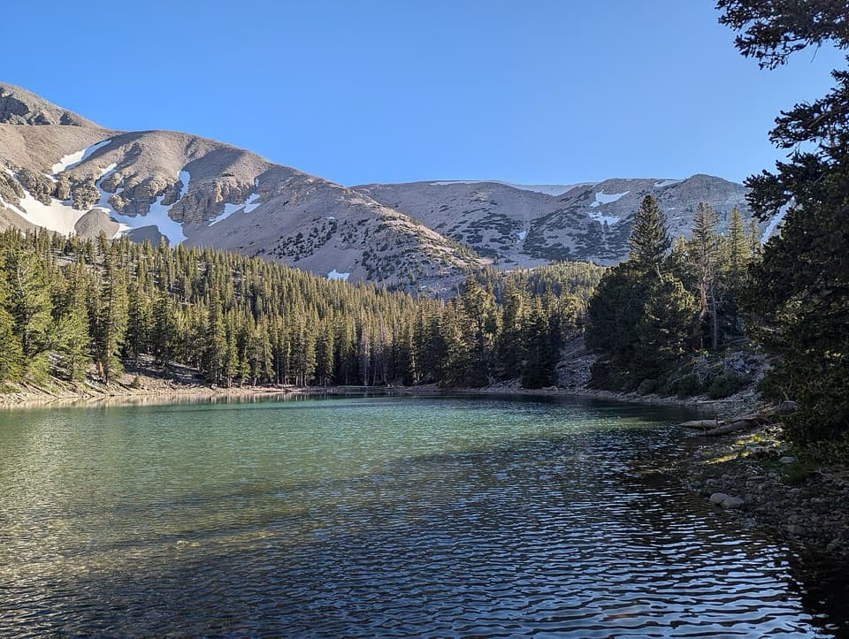
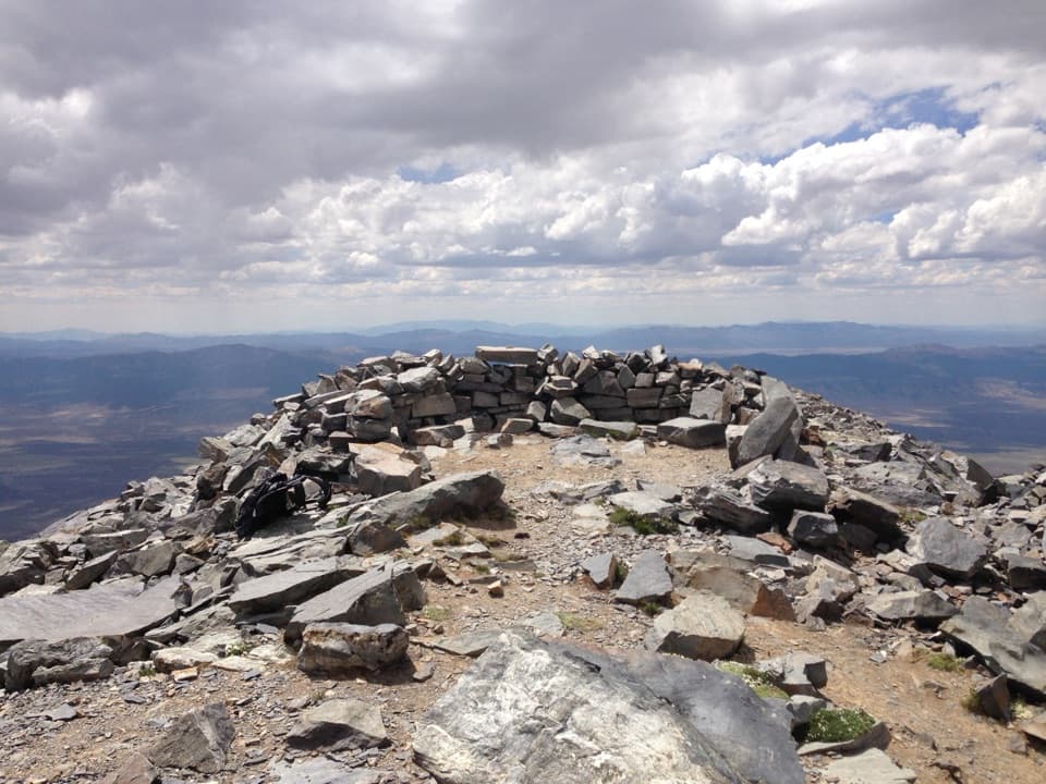
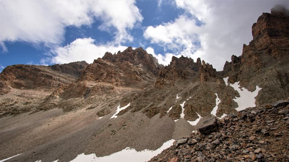
Wheeler Peak Glacier Viewpoint is the rocky end of the Glacier Trail, looking into the high cirque beneath Wheeler Peak where Nevada’s only surviving alpine glacier lies. The ice itself sits around 11,500 feet, but the marked trail stops short of the exposed ice: this is a hike to see the glacial landscape, not a walk onto a glacier. Plan on 4.8 miles round trip, 1,040 feet of climbing, and two to four hours. The walk is rated moderate, though it starts near 9,890 feet, so the altitude can make the climb feel harder than the mileage suggests.

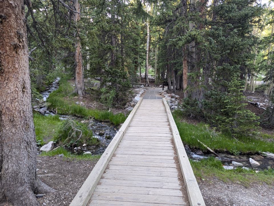
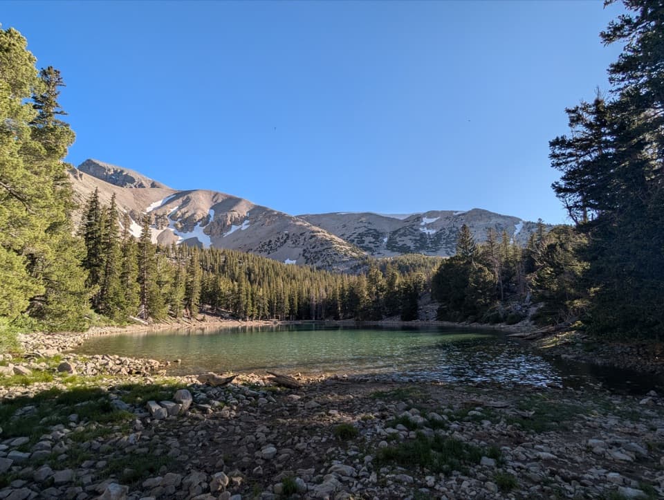
The first 1.4 miles overlap the Bristlecone Trail and pass the park’s bristlecone grove and interpretive signs. Beyond the trees, the route reaches a broad boulder basin below steep cirque walls.

Take the altitude seriouslyCarry plenty of water and salty snacks; there is no potable water along Wheeler Peak Scenic…

Carry plenty of water and salty snacks; there is no potable water along Wheeler Peak Scenic Drive. The nearest toilets are pit toilets without running water at the Bristlecone Trailhead. The trail is not accessible, and pets are not allowed on park trails. Afternoon thunderstorms and altitude sickness are real concerns; turn back if you feel altitude symptoms or see storm clouds building. Boulders near the glacier toe can shift, and small rockslides occur, so stay on the marked route rather than scrambling toward the ice.

Make the drive workThe trailhead is at the end of Wheeler Peak Scenic Drive, a paved, narrow, winding road that…

The trailhead is at the end of Wheeler Peak Scenic Drive, a paved, narrow, winding road that gains more than 4,000 feet over its 12-mile route. Vehicles longer than 24 feet cannot continue past Upper Lehman Creek Campground. The upper road usually opens by Memorial Day weekend and closes to vehicles in winter snow; check current conditions before driving up. Use the marked parking spaces at the trailhead.

Frame the whole cirqueThe glacier can be surprisingly hard to pick out: rockfall or snow may cover the exposed ice,…

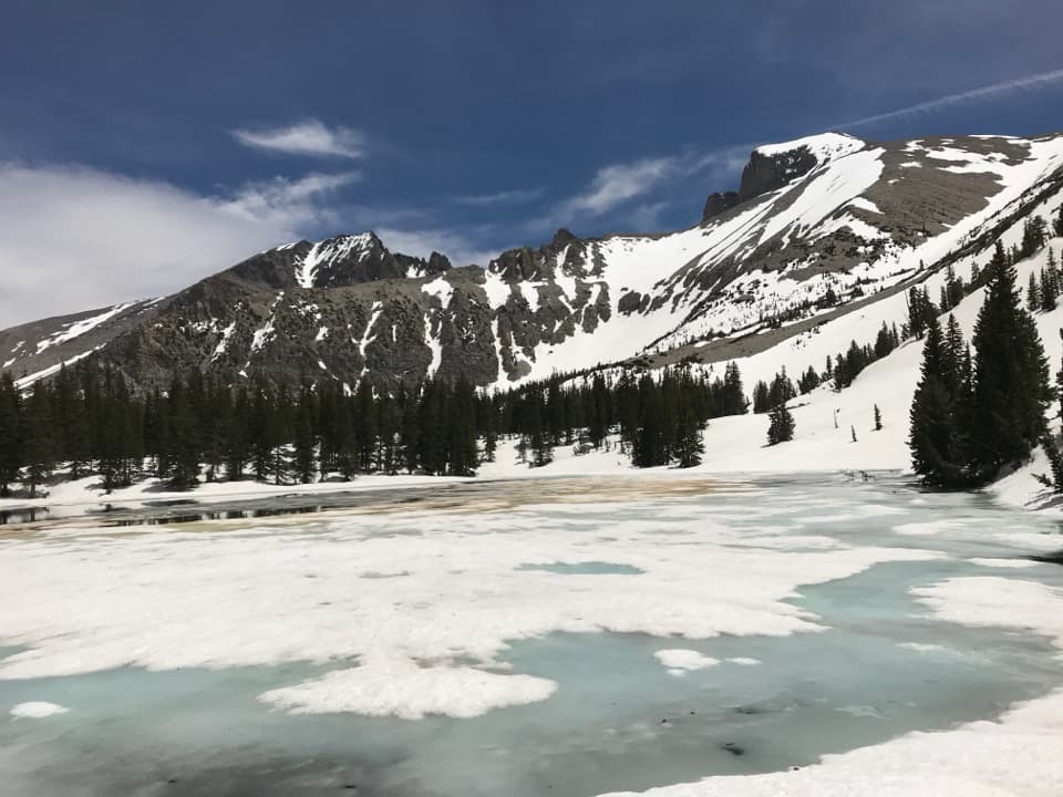
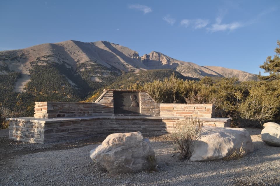
The glacier can be surprisingly hard to pick out: rockfall or snow may cover the exposed ice, and nearby snowfields can look like the glacier. The trail-end view is the closer look; Wheeler Peak Overlook is the roadside vantage. For a photo, keep the enclosing cliffs and boulder field around any pale ice patch so the small feature reads in its setting. Late fall, after the seasonal snow mantle melts, is the best chance for a clearer view, but it is never guaranteed.

Ice hidden in a rock glacierThe cirque holds both exposed alpine ice and a debris-covered rock glacier.

The cirque holds both exposed alpine ice and a debris-covered rock glacier. The latter looks like a lobe of angular boulders and cobbles, with ice filling spaces between the blocks; freeze-thaw and sagging make it creep slowly downhill. Curved ridges across its surface mark faster movement near the middle. That buried ice is why the glacier approach can look like a field of loose rock rather than a white glacier.

A remnant of colder timesDuring the Pleistocene, glaciers reached as low as 9,200 feet in this region, when the climate…

During the Pleistocene, glaciers reached as low as 9,200 feet in this region, when the climate averaged about eight degrees Fahrenheit cooler than today. Holocene warming melted the other local alpine glaciers; Wheeler Peak’s protected cirque held on to the last one. A crevice that appears near the glacier’s head each summer is evidence that the ice is still moving. It is one of the southernmost glaciers in the United States, as well as Nevada’s only one.

Wildlife

Wildlife in Great Basin

All Great Basin wildlife maps

Sighting maps show where each species has been reported across Great Basin. Wildlife moves, so no sighting is guaranteed.

Keep exploring

Near Wheeler Peak Glacier Viewpoint

See it all on the map

Trails nearby

More stops nearby

Parkwolf’s Great Basin ranking

Top sights in Great Basin

All 29 places
  1. 1Lehman CavesSight
  2. 2Wheeler Peak Bristlecone GroveSight
  3. 3Wheeler PeakSight
  4. 4Mather OverlookSight
  5. 5Wheeler Peak OverlookSight
  6. 6Astronomy AmphitheaterSight

Take Parkwolf to Great Basin.

The audio tour guide for the drive, plus offline maps, trails, and wildlife heatmaps for when the signal drops.

4.7 from 8,600+ ratings

Download Parkwolf on the App StoreGet Parkwolf on Google Play