Pros & cons
PROS
- Big coastal panorama from a quick roadside stop
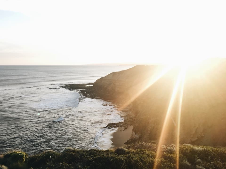
- Sunrise/late‑afternoon light and seasonal whale sightings
CONS
- Limited parking during peak times
- No on‑site facilities (toilets, picnic tables, or trails)
Overview
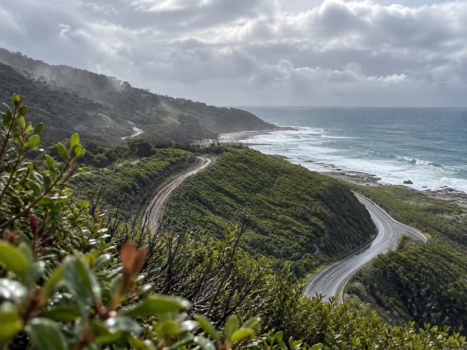
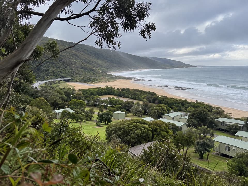
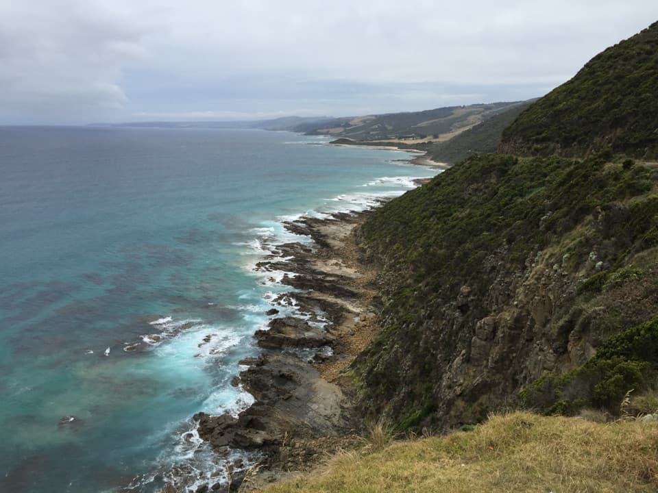
Perched between Kennett River and Apollo Bay, this roadside perch dishes up sweeping views of the Southern Ocean with the rainforest‑clad hills of the Otways behind you. It’s a classic pull‑in, hop‑out photo stop—free and effectively always open—perfect for breaking up the drive.
What You’ll See
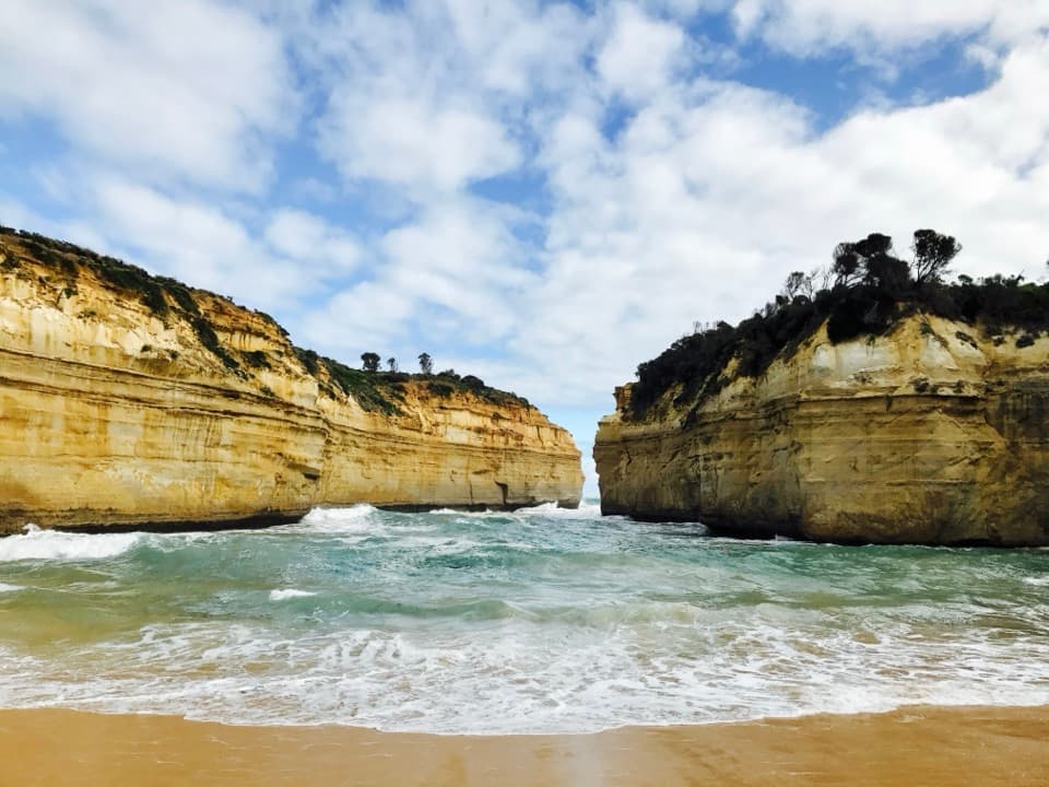
- Long, dramatic coastline and deep‑blue water framed by rugged cliffs.
- Occasional interpretive signage and a small history plaque at the viewpoint.
- A memorial stretch of road built in the 1920s by returned WWI servicemen; the broader area also holds significance for the Eastern Maar and Gunditjmara peoples.
Wildlife
From May to October, keep an eye offshore for passing southern right and humpback whales. Year‑round you might spot dolphins or seals, and inland bush can host kangaroos, wallabies, and birdlife. Binoculars make this stop much better.
On‑Site Setup and Safety
Expect a small roadside pull‑off with limited spaces. There are no toilets, picnic tables, or formal walking tracks right at the lookout. A safety fence lines the main viewpoint—don’t climb it—and take care pulling in and out on this narrow, winding section of the Great Ocean Road. It can be windy, so bring a layer even in summer.
Photography Tips
- Go wide: a wide‑angle lens or your phone’s wide mode best captures the sweep.
- Work along the platform to tweak sightlines and keep the fence out of frame.
- Drones are regulated—check current rules before flying.
Best Time to Visit
Sunrise and late afternoon (golden hour) give the most flattering light. Weekday mornings and the shoulder seasons (spring/autumn) are typically quieter; midday and weekends see more cars jockeying for limited spots. The lookout is accessible 24/7, but daylight hours are safest.
Nearby
There aren’t trails at the platform itself, but Great Otway National Park nearby has plenty. For food and coffee, use the towns—Kennett River, Apollo Bay, or Lorne. If you’re road‑tripping further, the Twelve Apostles and Port Campbell sights sit well down the line.
Where it is
-38.6920, 143.8300Tips for Cape Patton Lookout
- 01Aim for sunrise or late afternoon for softer light and better photos.
- 02Pull in and out carefully—the road here is narrow and winding.
- 03Bring a windproof layer; breezes can be strong even on warm days.
- 04Carry binoculars in whale season (May–Oct) to scan offshore.
- 05Use your phone’s wide mode to capture the full curve of coast.
Amenities
Near Cape Patton Lookout
All places →All trails →
1.1 mi awayCarisbrook FallsQuick uphill walk to a big waterfall viewed across a lush gorgeTrailhead · Parking
2.4 mi awayGrey River Picnic AreaQuiet forest picnic spot with glow worms and koalas nearbyRestroom
2.5 mi awayKennett River Koala Spotting AreaEasy roadside koala spotting on quiet Grey River RoadParking · Restroom
6.7 mi awayChris's RestaurantSeafood and sunset views high above Apollo BayRestaurant · Food
9.7 mi awayGreat Ocean WalkVictoria’s big coastal traverse from Apollo Bay to the ApostlesChallenging · 65 mi · 192 hr
11.3 mi awayLower Kalimna Falls TrackFerny stroll to a walk-behind waterfall with a cave-like alcoveModerate · 5.1 mi · 2.3 hr
11.3 mi awayPhantom Falls and Henderson Falls via The CanyonTwo rainforest waterfalls and a narrow canyon in one moderate loop.Moderate · 5.9 mi · 3 hr
11.3 mi awaySheoak Falls via Castle RockWaterfall and lookout loop with ocean views and a swallow-filled caveModerate · 6 mi · 3.5 hr