Parking
Parking at the signed top of Morley Avenue is very limited. If parking near Wye River Hotel, walk about 800 m uphill on Morley Street to the trailhead. Arrange a pickup vehicle at Kennett River Car Park.
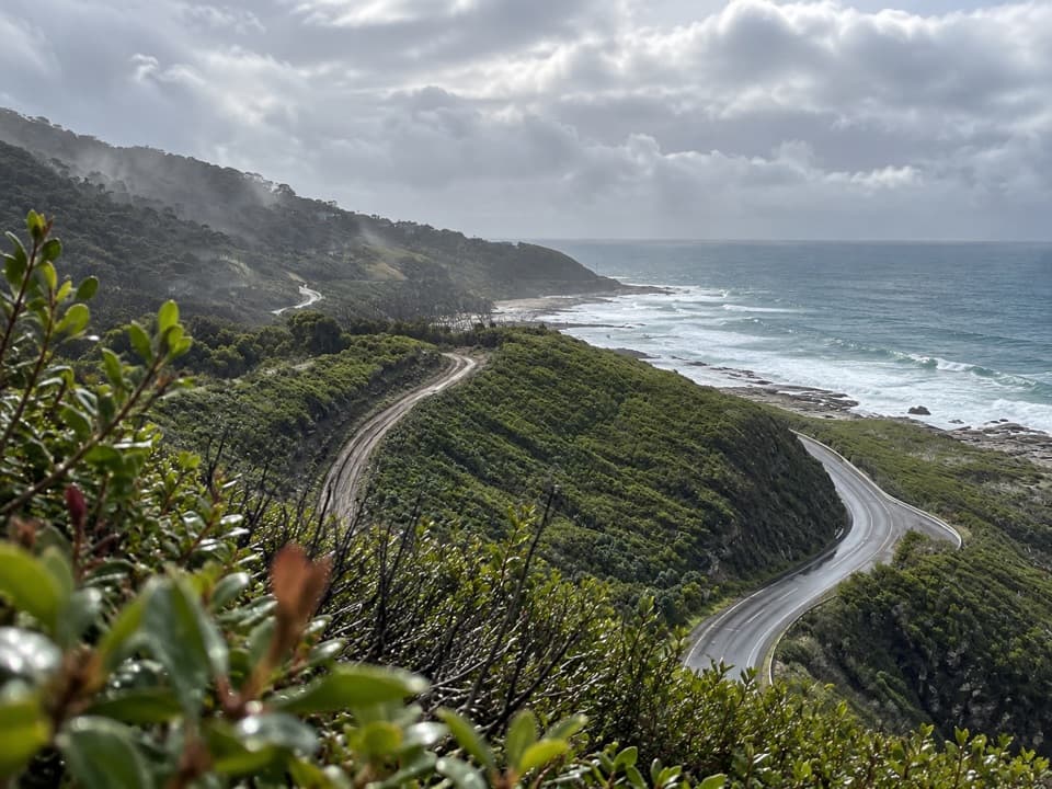
Great Ocean Road, VIC
Steep coastal climbs, creek gullies, and views over the Southern Ocean.
Overview
Map & elevation
Plan your hike

The highest, rockiest slopes around here are a summer buffet for grizzly bears.
Great Ocean Road Tour Guide
Parkwolf is a GPS audio tour guide for Great Ocean Road. As you drive, it chimes in with what’s ahead: hidden gems, upcoming stops, history, geology, and wildlife, right through your car’s speakers.
See the Great Ocean Road audio tourRecorded for this trailhead
Wye River: Beach and Pub“You're coming up on Wye River, a little settlement squeezed between wooded slopes and the beach. This is a useful place to break the drive for a meal and a wander along the shore.”
Plays as you drive up to this trailhead in the Parkwolf Great Ocean Road Tour Guide.
More stories near here in the app
“Fantastic app with many points of information… It’s great to just turn on while you’re driving and it gives you an audio tour of the national Park. We love it!!!!”


Trail guide
Wye to Kennett River Walk is a 4.6 km one-way route from the signed trailhead at the top of Morley Avenue in Wye River to Kennett River. It winds through blue-gum forest on steep coastal slopes above the Great Ocean Road, with glimpses across the Southern Ocean and a cool rainforest gully. Plan a car shuttle and about 2½ hours; this is an undulating walk with several steep pitches, not a flat coastal stroll. A local 6 km, three-hour itinerary starts at Wye River Hotel and includes an 800 m uphill walk on Morley Street to the signed trail start. This entry uses the signed 4.6 km trail distance; add the hotel approach if you start there.
The route opens with a steep descent to a seat facing the ocean, then follows a more level stretch through blue gums before another steep slope and stone steps. At Birds Track, turn right briefly and then left onto the smaller track; it is an easy junction to miss. The route drops into Monash Gully and climbs out again, with sea views appearing between the trees and views toward Kennett River from the steps.
Tall eucalypts and ferns close around Hitchcock Gully. Large rocks form a creek crossing here, and the gully's cool, damp forest is a welcome change from the exposed slopes. After crossing Kennett Road, look for the old timber-mill site and its history sign. Near the finish, the track opens over Kennett River Valley before descending toward the bridge and pickup area.
Burnt eucalypt trunks from the 2015 fire still stand above the recovering vegetation. The walking notes identify blue gum, blanket-leaf, hazel pomaderris and prickly Moses along the route. Koalas, kangaroos, wallabies and echidnas may be seen; listen as well for birds such as eastern spinebills and yellow-faced honeyeaters, but sightings are never guaranteed.
Parking at the signed Morley Avenue start is very limited. If you leave a car near Wye River Hotel, expect about 800 m uphill along Morley Street to reach the trail. The walk does not return to Wye, so arrange a pickup at Kennett River Car Park. Toilets and drinking water were not identified on the route. Pets are not permitted in this national park; assistance dogs have separate entry requirements.
Wildlife
 900 sightingsKoalaMost seen around 5 PMSighting map
 358 sightingsKangarooMost seen around 6 PMSighting map
 49 sightingsLittle PenguinMost seen around 8 PMSighting map
 155 sightingsEchidnaMost seen around 6 PMSighting map
 33 sightingsFur SealMost seen around 6 PMSighting map
 59 sightingsRed-necked WallabyMost seen around 6 AMSighting map
Sighting maps show where each species has been reported across Great Ocean Road. Wildlife moves, so no sighting is guaranteed.
Keep exploring
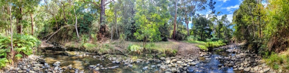 EasyKennett River Nature Walk0.4 km · 20 min · 3.7 km awayFourteen small nature lessons beside the Kennett River.
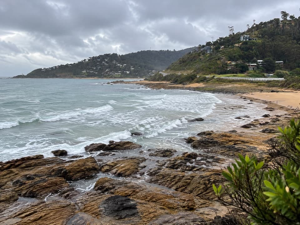 ModerateJamieson Creek to Separation Creek Walk5 km · 2.5 hr · 5.3 km awayOcean glimpses, creek crossings and forest returning after fire.
 EasyCarisbrook Falls Walk0.5 km · 20 min · 8.9 km awayA quick uphill walk to falls across a steep gorge.
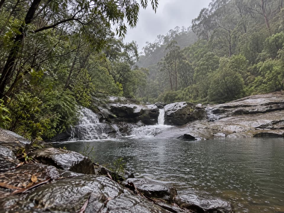 ModerateCumberland River Trail6 km · 4 hr · 9 km awayA waterfall walk that turns into a rocky scramble above Jebb’s Pool.
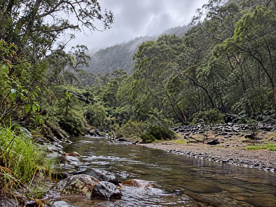 ModerateCumberland River–Jebbs Pool Walk3 km · 1.5 hr · 9 km awayA short gorge walk with rock pools and a river crossing.
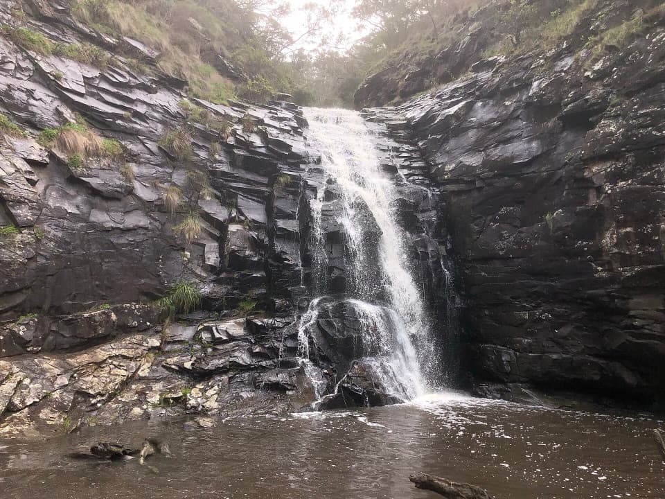 ModerateSheoak Falls and Swallow Cave Walk2.5 km · 1 hr · 10.3 km awayA short, steep creek walk to a waterfall and shaded cave.
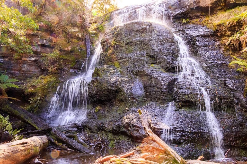 ChallengingThe Canyon Circuit8.5 km · 3 hr · 10.6 km awayThree waterfalls and a mossy rock cleft, linked in one rugged loop.
 EasyLower Kalimna Falls Walk6.5 km · 2.5 hr · 10.7 km awayA ferny creek walk to a waterfall with a cave-like overhang.
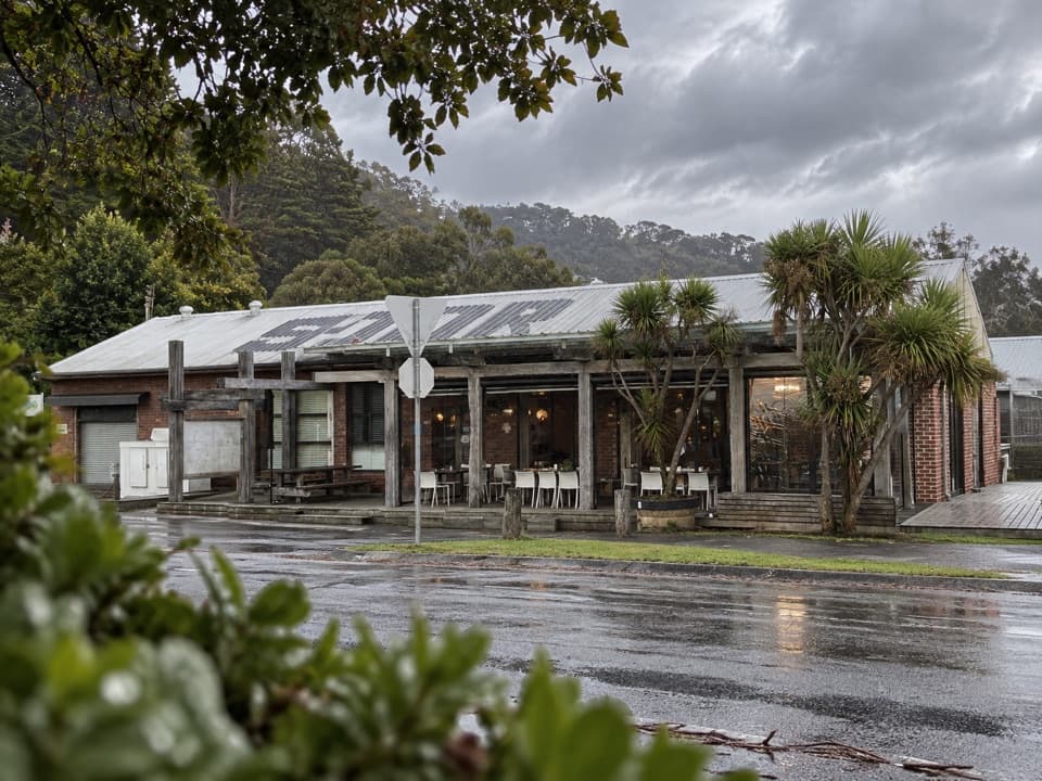 Food · 0.6 km awayWye General StoreCoastal cafe and general store in one useful road stop.
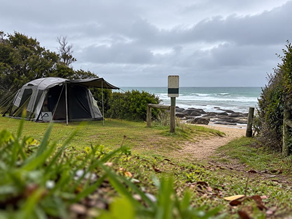 Campground · 0.8 km awayWye River Beachfront CampgroundBeachside camping with surf and rock pools just steps away.
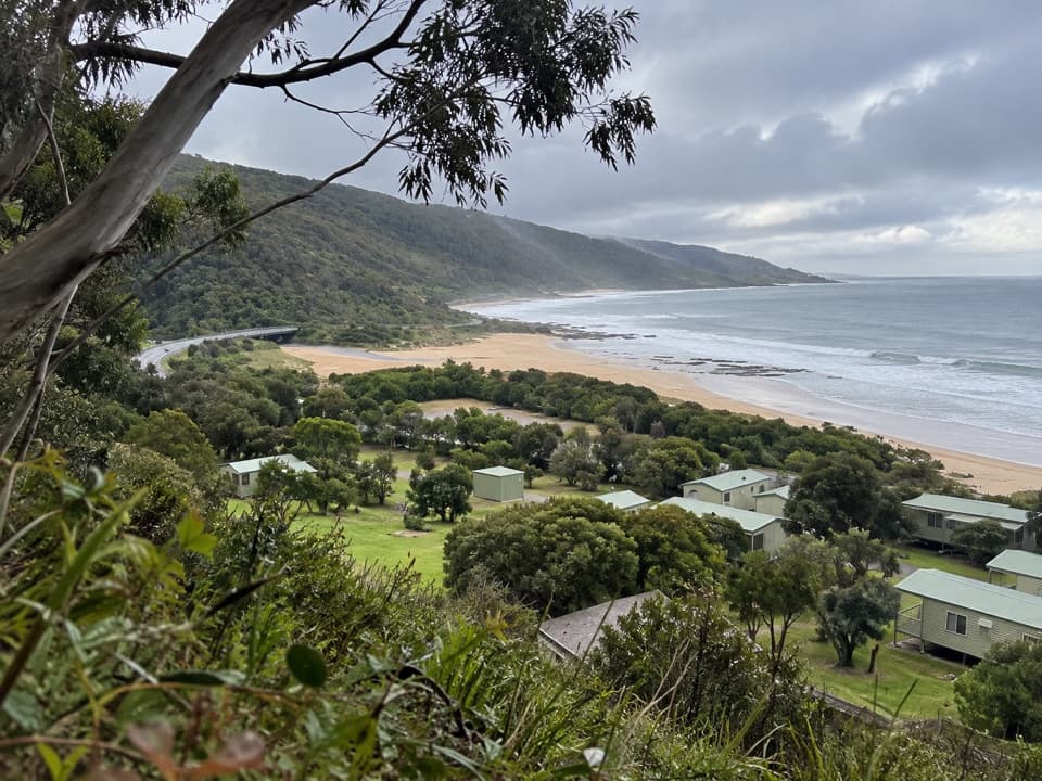 Campground · 3.9 km awayKennett River Family Caravan ParkA shaded coastal campground opposite Kennett River Beach.
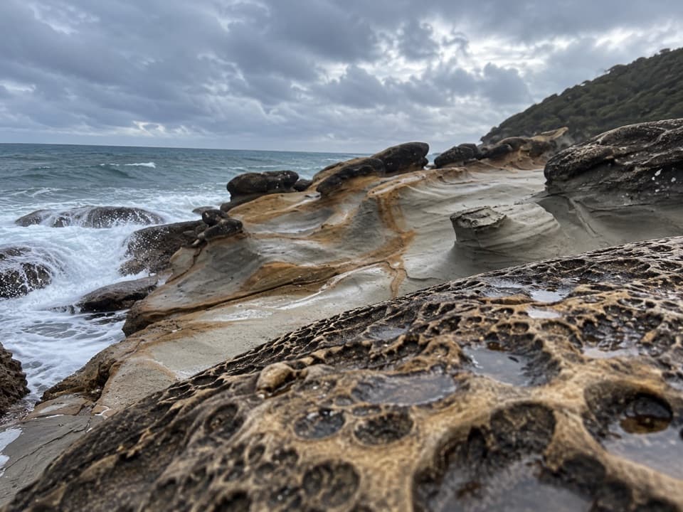 Sight · 5.1 km awayArtillery RocksCircular sandstone shapes reward a short coastal pause.
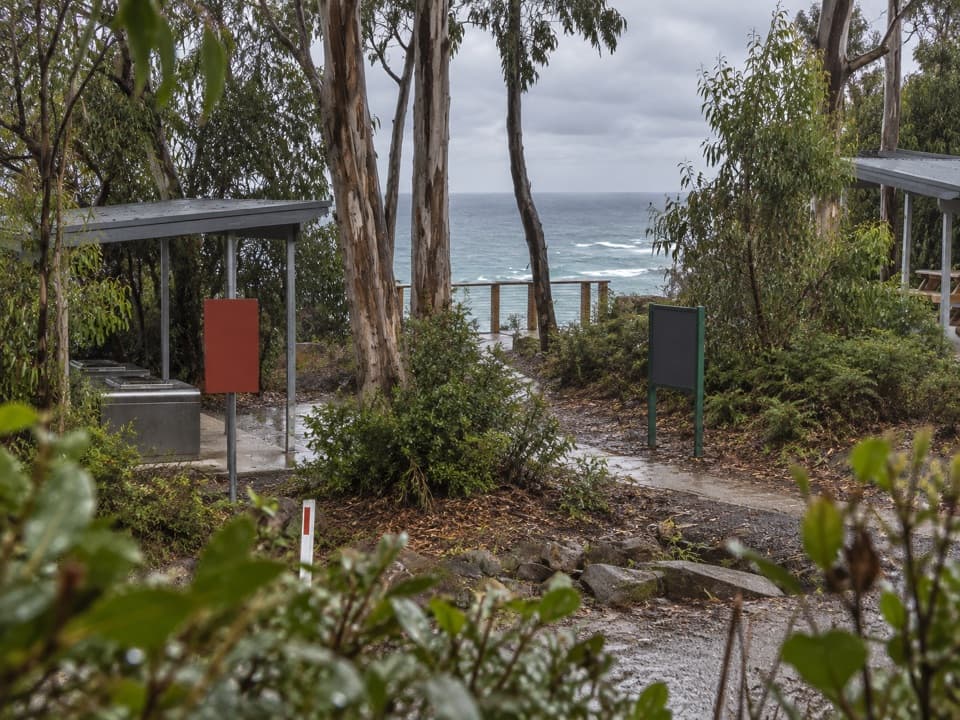 Campground · 5.5 km awayJamieson Creek CampgroundSleep among eucalypts with a marked lookout over the sea.
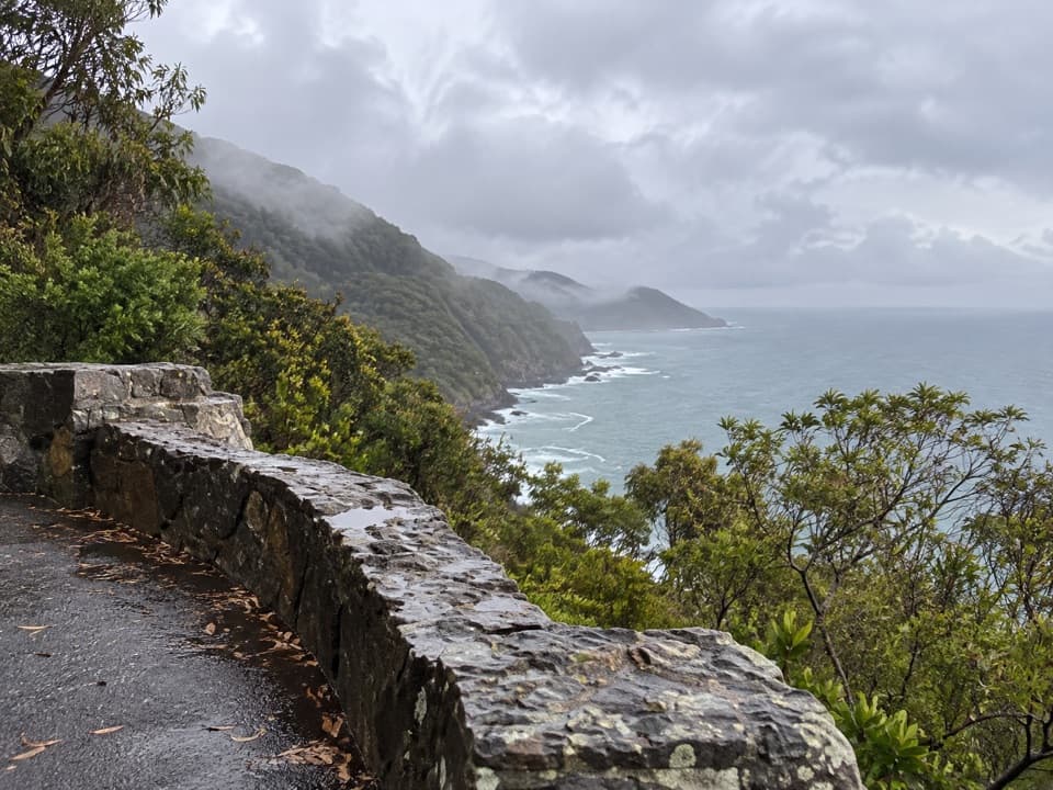 Sight · 7.1 km awayMount Defiance LookoutA short pause for cliffs, surf and a 1930s stone memorial.
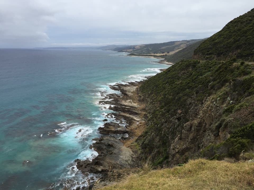 Sight · 7.7 km awayCape Patton LookoutA quick coastal stop with cliffs and surf in view.
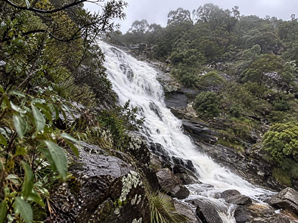 Sight · 8.8 km awayCarisbrook FallsA short climb for a waterfall view across a forested gorge.
Parkwolf’s Great Ocean Road ranking

The audio tour guide for the drive, plus offline maps, trails, and wildlife heatmaps for when the signal drops.





