Parking
Use Carisbrook Falls Carpark / Visitor Area just off Great Ocean Road (B100). The turnoff is easy to miss. No food or drinking-water service is identified at the stop; bring your own water.

Great Ocean Road, VIC
A quick uphill walk to falls across a steep gorge.
Overview
Map & elevation
Plan your hike

The highest, rockiest slopes around here are a summer buffet for grizzly bears.
Great Ocean Road Tour Guide
Parkwolf is a GPS audio tour guide for Great Ocean Road. As you drive, it chimes in with what’s ahead: hidden gems, upcoming stops, history, geology, and wildlife, right through your car’s speakers.
See the Great Ocean Road audio tourRecorded for this trailhead
Carisbrook Falls Lookout“You're nearing the turnoff for Carisbrook Falls, where a short, steep walk leads to a lookout across a wooded gorge.”
Plays as you drive up to this trailhead in the Parkwolf Great Ocean Road Tour Guide.
More stories near here in the app
“Fantastic app with many points of information… It’s great to just turn on while you’re driving and it gives you an audio tour of the national Park. We love it!!!!”


Trail guide
Carisbrook Falls Walk climbs from the Carisbrook Falls Carpark beside Great Ocean Road to a lookout on the eastern side of the gorge. The mapped track is about 220 m each way, or 0.45 km (0.28 mi) return; published totals vary from about 0.6 to 1.5 km. The route line follows the connected mapped tread, so treat the longer figures as unresolved distance estimates. Allow about 20 minutes. It is a quick roadside stop for a steep little climb and a waterfall view, not a walk down to the water.
The ground path rises along the gorge slope, with views over Carisbrook Creek on the way up. From the lookout the cascades sit across a steep, densely vegetated ravine, and some lower tiers are screened by the trees. The viewpoint gives you the falls from a distance. For a photo, keep some of the gorge wall and vegetation in the frame so the gap between the lookout and falls is clear. Stay on the formed path and lookout; informal lines down the slope are not part of this walk.
Wildlife
 900 sightingsKoalaMost seen around 5 PMSighting map
 358 sightingsKangarooMost seen around 6 PMSighting map
 49 sightingsLittle PenguinMost seen around 8 PMSighting map
 155 sightingsEchidnaMost seen around 6 PMSighting map
 33 sightingsFur SealMost seen around 6 PMSighting map
 59 sightingsRed-necked WallabyMost seen around 6 AMSighting map
Sighting maps show where each species has been reported across Great Ocean Road. Wildlife moves, so no sighting is guaranteed.
Keep exploring
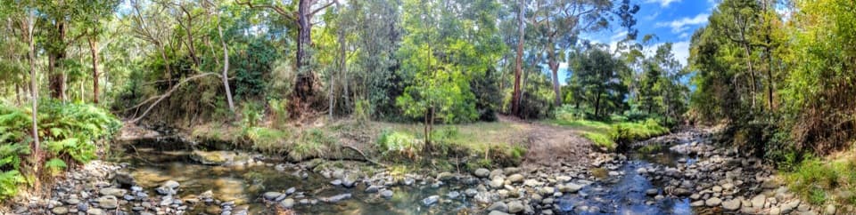 EasyKennett River Nature Walk0.4 km · 20 min · 5.3 km awayFourteen small nature lessons beside the Kennett River.
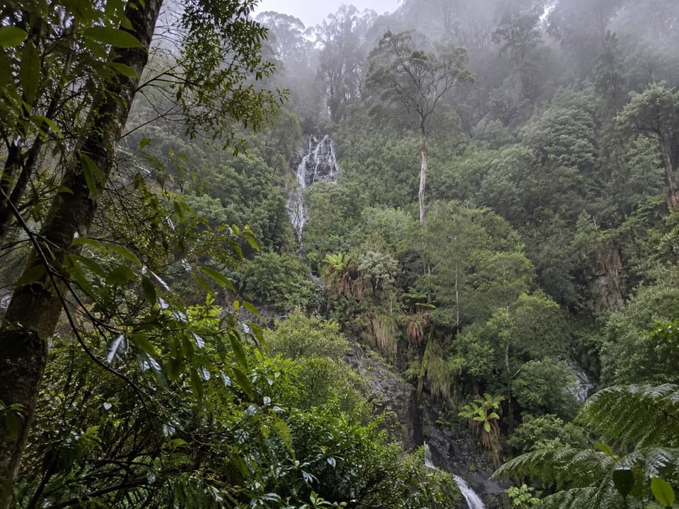 ModerateSabine Falls Walk4 km · 2.3 hr · 8.4 km awayA steep rainforest descent to a waterfall across a fern-filled valley.
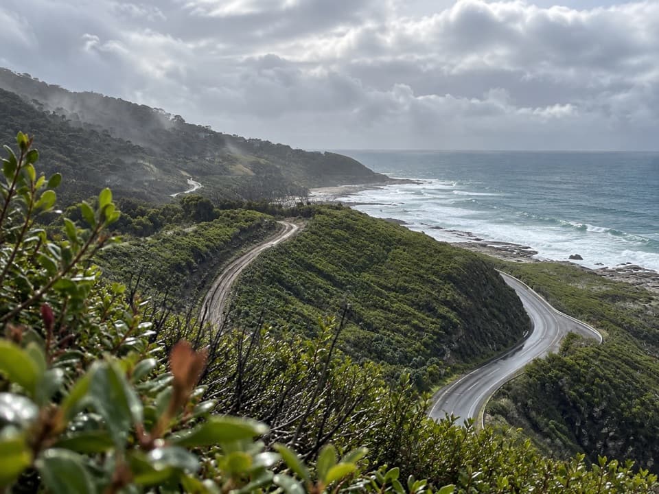 ModerateWye to Kennett River Walk4.6 km · 2.5 hr · 8.9 km awaySteep coastal climbs, creek gullies, and views over the Southern Ocean.
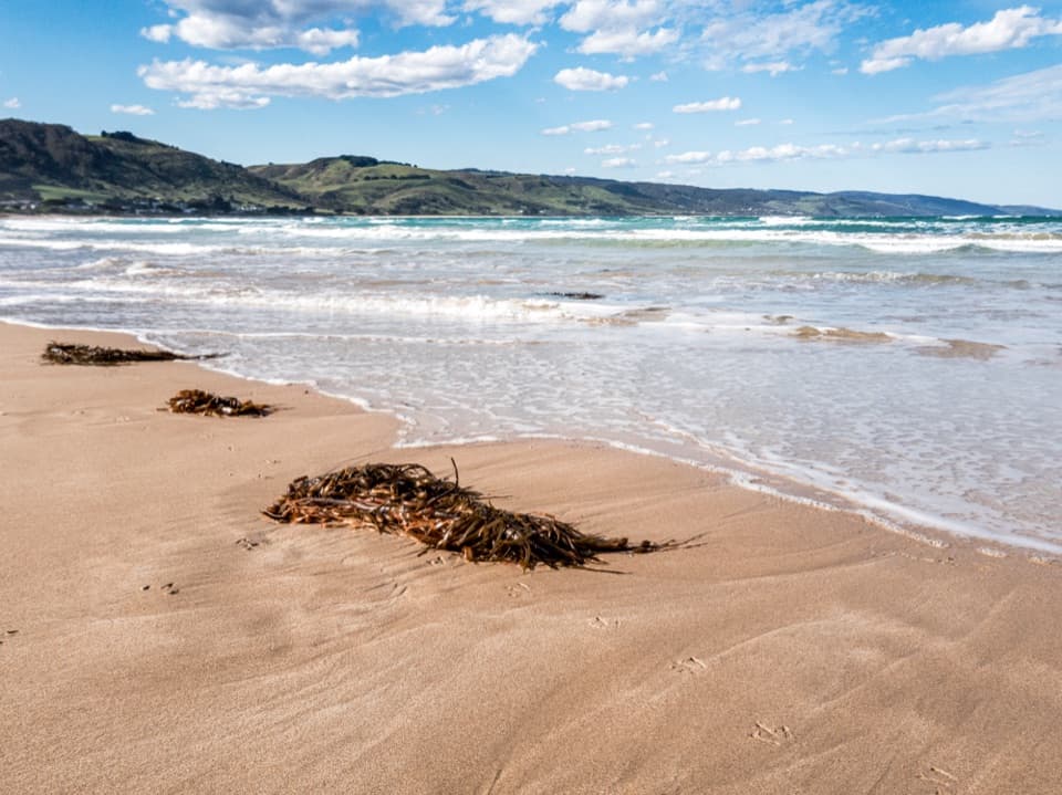 EasyApollo Bay Foreshore Walk5.5 km · 1 hr · 12 km awayA coastal footpath threads past Apollo Bay’s foreshore sculptures.
 ModerateMarriners Lookout Walk1 km · 30 min · 13 km awayA short, steep climb for Apollo Bay's wide coastal view.
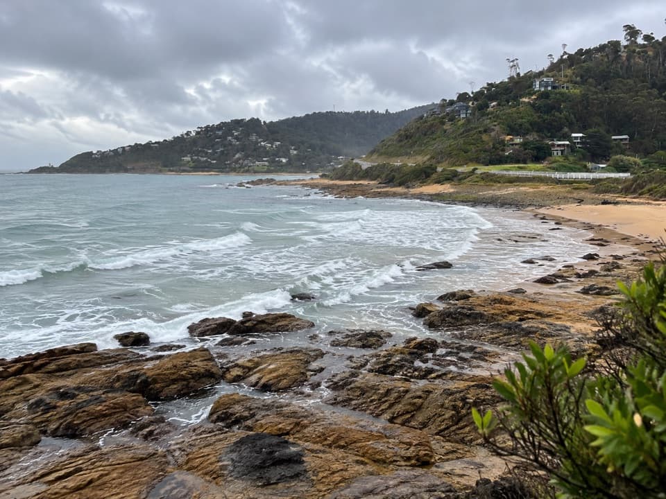 ModerateJamieson Creek to Separation Creek Walk5 km · 2.5 hr · 14 km awayOcean glimpses, creek crossings and forest returning after fire.
 ChallengingGreat Ocean Walk100 km · 1.5 days · 14.1 km awayA 100 km westbound trek through forests, beaches and sea cliffs.
 ModerateMarengo to Shelly Beach Hike4.7 km · 2.5 hr · 15.8 km awayTwo beach crossings and Bald Hill lead to Shelly Beach.
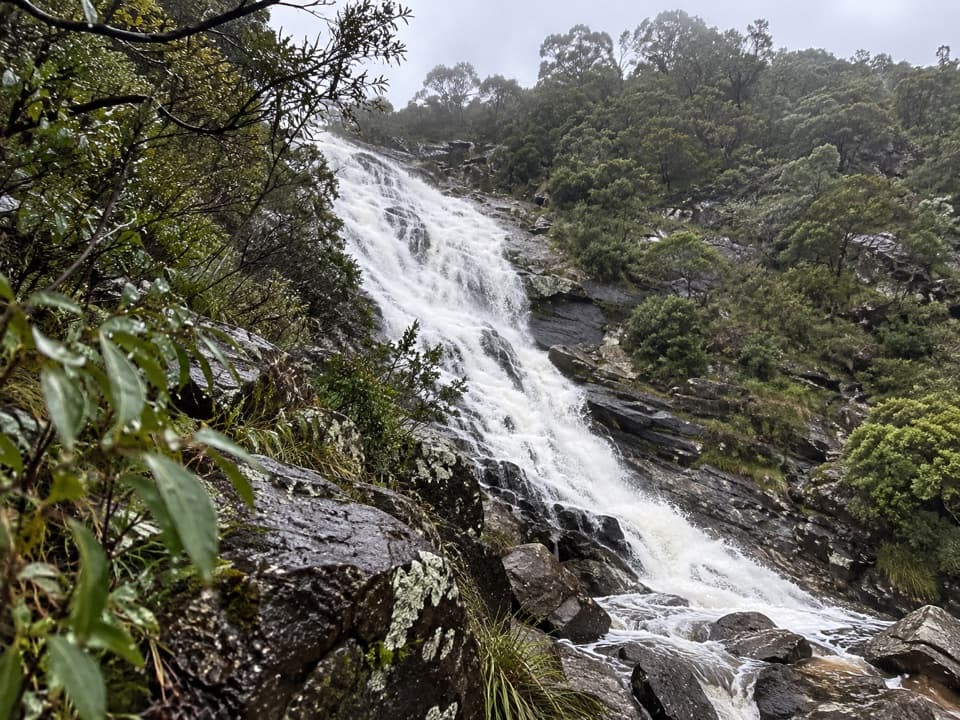 Sight · 0.2 km awayCarisbrook FallsA short climb for a waterfall view across a forested gorge.
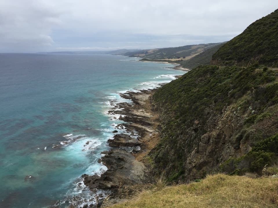 Sight · 1.8 km awayCape Patton LookoutA quick coastal stop with cliffs and surf in view.
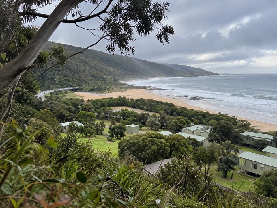 Campground · 5.2 km awayKennett River Family Caravan ParkA shaded coastal campground opposite Kennett River Beach.
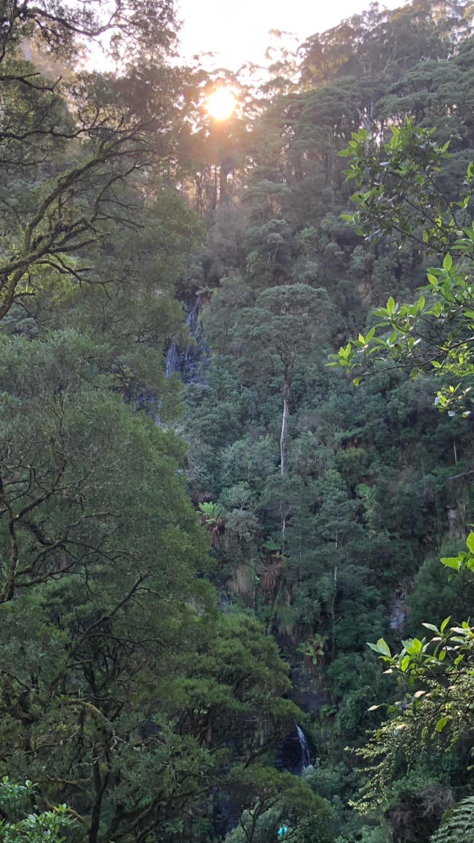 Sight · 8.4 km awaySabine FallsA steep rainforest walk to a distant, tiered waterfall.
 Campground · 9.1 km awaySkenes Creek Foreshore Caravan ParkA compact camp with direct beach and creek access.
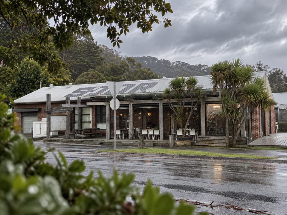 Food · 9.5 km awayWye General StoreCoastal cafe and general store in one useful road stop.
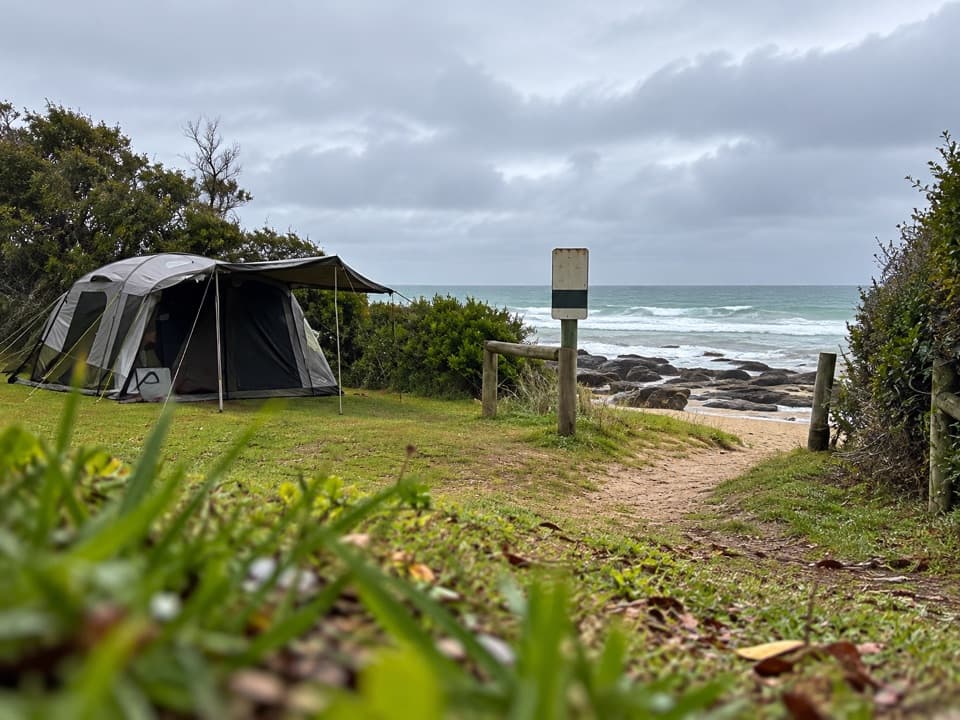 Campground · 9.7 km awayWye River Beachfront CampgroundBeachside camping with surf and rock pools just steps away.
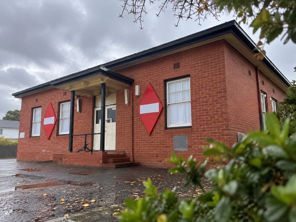 Sight · 12.3 km awayApollo Bay MuseumTrace the 1936 cable link that tied Tasmania to the mainland.
Parkwolf’s Great Ocean Road ranking

The audio tour guide for the drive, plus offline maps, trails, and wildlife heatmaps for when the signal drops.




