Port Campbell Discovery Walk in Great Ocean Road

Great Ocean Road, VIC

Port Campbell Discovery Walk

A creek bridge and 191 steps open to Shipwreck Coast views

Length
4.4km
Time
1.5hr
Elev. change
50m
Difficulty
Moderate
  • No dogs
  • High point 52 m
  • #17 of 109 in Great Ocean Road

Hear the audio tour

Port Campbell: Bay, Food and Shipwrecks

Overview

About Port Campbell Discovery Walk

Why go

  • A swing bridge and coastal heath make the approach more varied than a simple lookout stop.
  • The clifftop payoff looks back over Port Campbell and along the Shipwreck Coast.

Heads up

  • The beach approach includes 191 steps; beyond the viewing platform the walk is unsuitable for prams and wheelchairs.

Map & elevation

The route

Loading the Great Ocean Road map
Full map
Elevation2–52 m
TrailheadPort Campbell Beach, Campbell Creek crossing-38.61924, 142.99345
Keep this map with you offline in the Parkwolf app

Plan your hike

Before you go

Parking

Use public town parking near Port Campbell Beach for the creek-bridge start. Town parking can get busy. Town Scenic Lookout is an upper access; parking at the Two Mile Bay Road terminus is limited, and the turnoff is easy to miss from the Great Ocean Road.

Safety

The beach approach climbs 191 steps. The upper track has steep and slippery sections, unstable cliff edges, and snakes; keep behind barriers. Dogs are not allowed.

7 active Great Ocean Road alerts

  • ClosureLorne-area walking trails closed after flood and storm damageSeveral walking trails near Lorne remain closed; do not enter closed tracks. - Phantom Falls Walk is temporarily closed because flood and storm damage affected the trail and structures.Official details
  • ClosureWye Road closed after storm and flood damageWye Road is closed until further notice for road maintenance and repairs following storm and flood damage; do not use the road. Check current Great Otway National Park conditions before travelling.Official details
See all 7 alerts
A park ranger sits on a dash-mounted phone, talking, as Parkwolf’s Tour Guide plays “Army Cutworm Moths: A Grizzly Bear Buffet” on Grand Loop Road below Dunraven Pass in Yellowstone
Parkwolf Tour GuideThe highest, rockiest slopes around here are a summer buffet for grizzly bears.

Great Ocean Road Tour Guide

Your drive to Port Campbell Discovery Walk, narrated.

Parkwolf is a GPS audio tour guide for Great Ocean Road. As you drive, it chimes in with what’s ahead: hidden gems, upcoming stops, history, geology, and wildlife, right through your car’s speakers.

See the Great Ocean Road audio tour

Recorded for this trailhead

Port Campbell: Bay, Food and Shipwrecks
0:00 / 0:31
“You’re approaching Port Campbell, a useful place for a meal and a break by the bay between the cliff lookouts. The grassy foreshore and short jetty make an easy wander.”

Plays as you drive up to this trailhead in the Parkwolf Great Ocean Road Tour Guide.

More stories near here in the app

  • Eight Plates on the Rock
  • A Sea Star’s Slow Walk
  • A Right Whale's Summer Meals
  • The Ripples Left in Sand
  • 181 audio storiesacross Great Ocean Road’s roads, triggered by GPS as you drive
  • Wildlife heatmapsfor Koala, Kangaroo, Little Penguin, and 13 more
  • Works offlinemaps, 109 trails, 99 places, and audio download before you lose signal
  • CarPlay readysimple controls built for the drive
★★★★★
“Fantastic app with many points of information… It’s great to just turn on while you’re driving and it gives you an audio tour of the national Park. We love it!!!!”
JMJamesApp Store review
Download Parkwolf on the App StoreGet Parkwolf on Google Play

4.7 from 8,600+ ratings

Trail guide

Hiking Port Campbell Discovery Walk

The walkPort Campbell Discovery Walk is a 4.

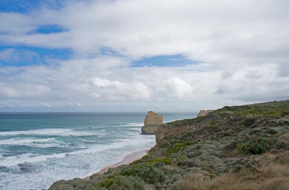
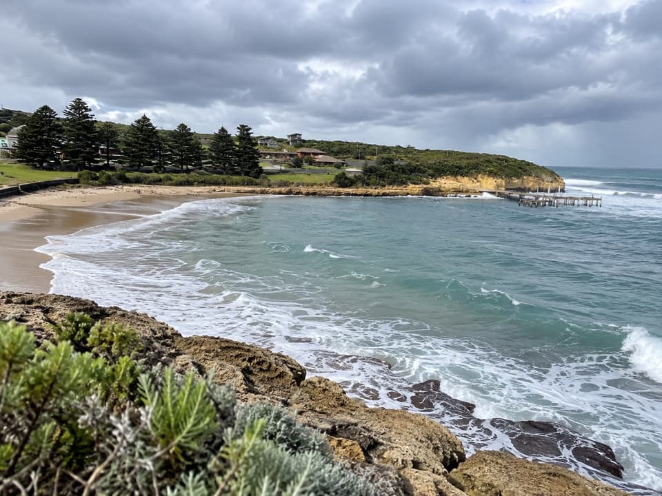
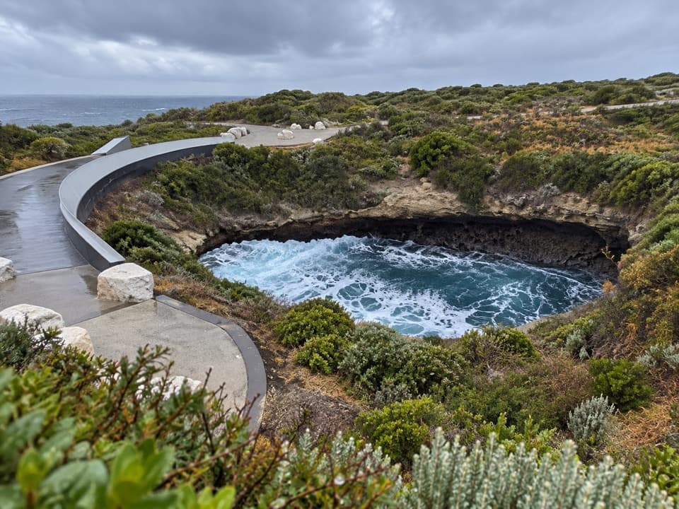
Port Campbell Discovery Walk is a 4.4 km out-and-back from Port Campbell Beach to the Two Mile Bay end and back. Allow about 1.5 hours. The first section follows the creek to a swing bridge, then climbs to the clifftop. After that, an undulating path through coastal heath delivers open Shipwreck Coast views. It is a compact way to get above the harbour without taking on a long coastal track.

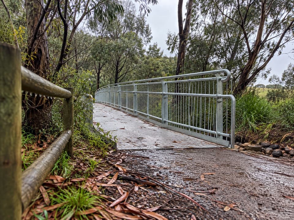
Starting from the beachThe beach access crosses Campbell Creek on Port Campbell Swing Bridge and reaches a sealed path…

The beach access crosses Campbell Creek on Port Campbell Swing Bridge and reaches a sealed path and viewing platform. Past that comes a 191-step staircase up the western headland, followed by more steps and moderate gradients that are not suitable for prams or wheelchairs. If you want to skip the lower crossing and climb, drive to Town Scenic Lookout and start on the upper track; that is a shorter version, not the full beach return.

Along the cliffsThe upper path is compacted gravel with rolling sections and occasional steps.

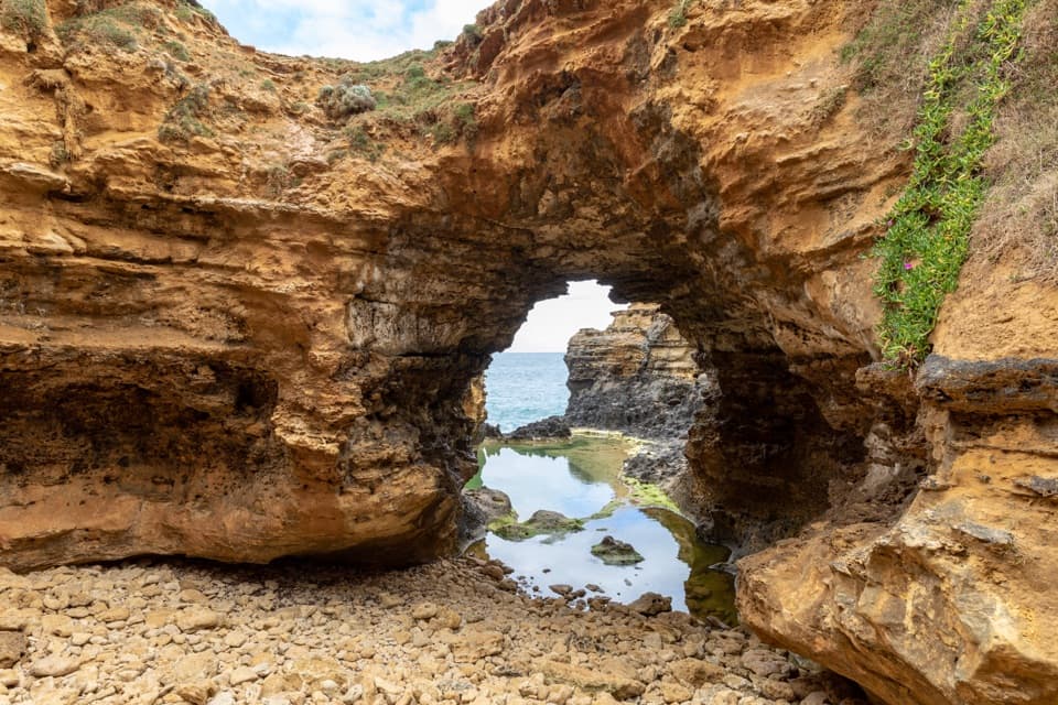
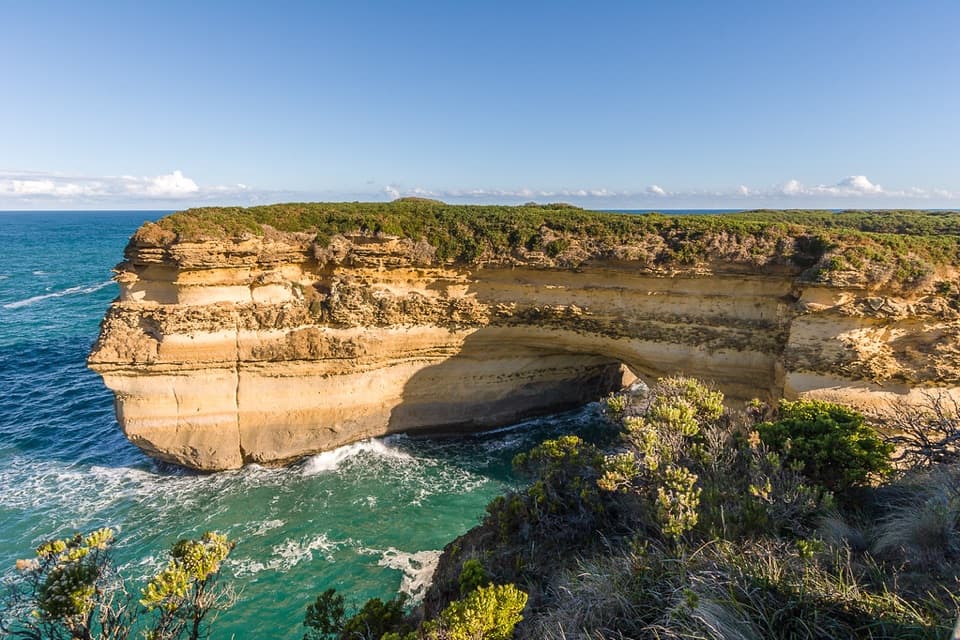
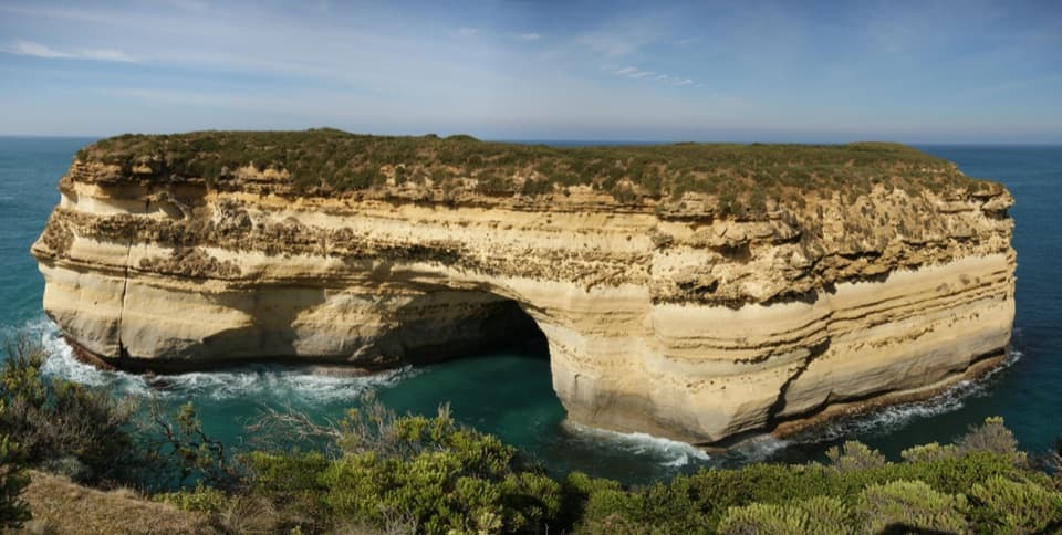
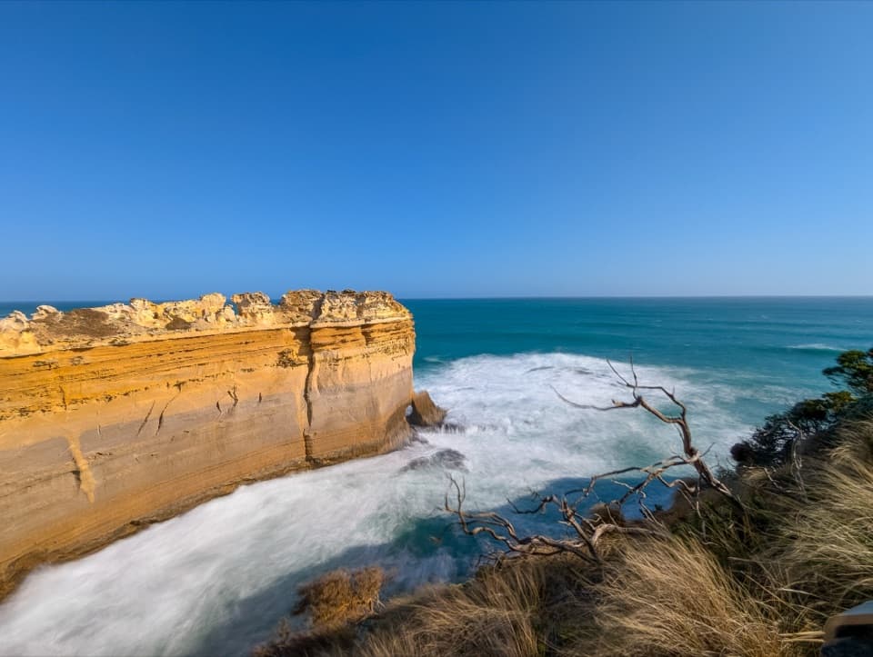
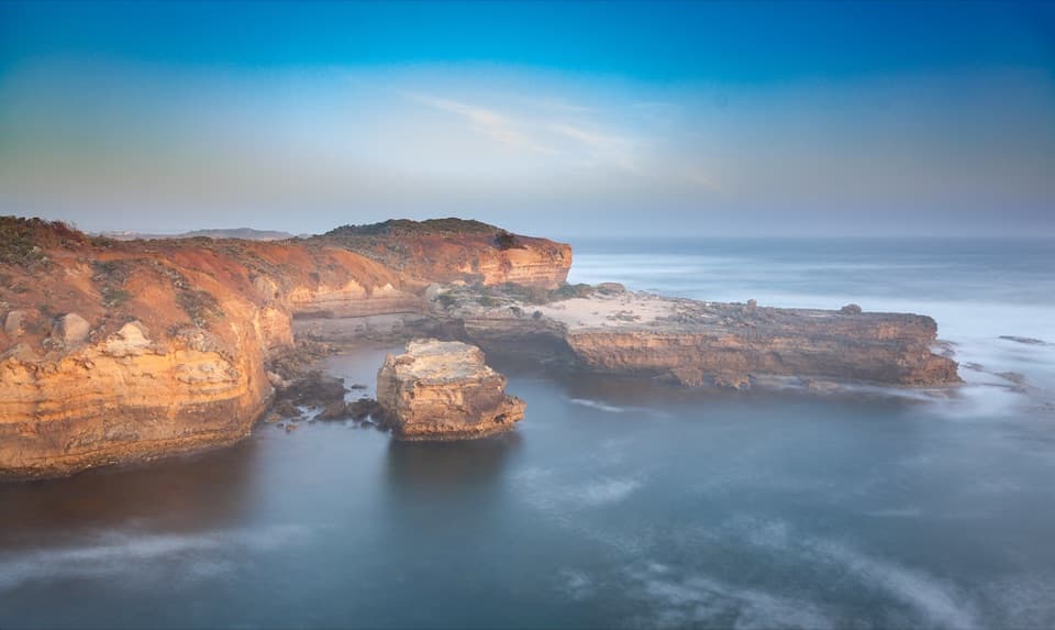
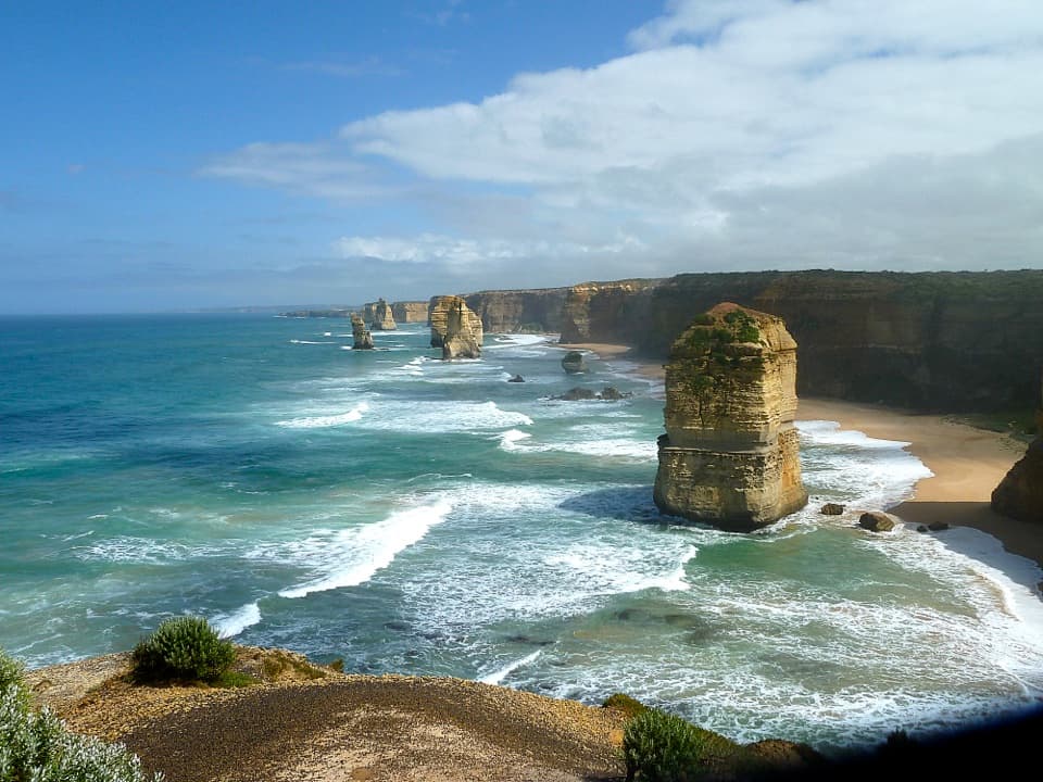
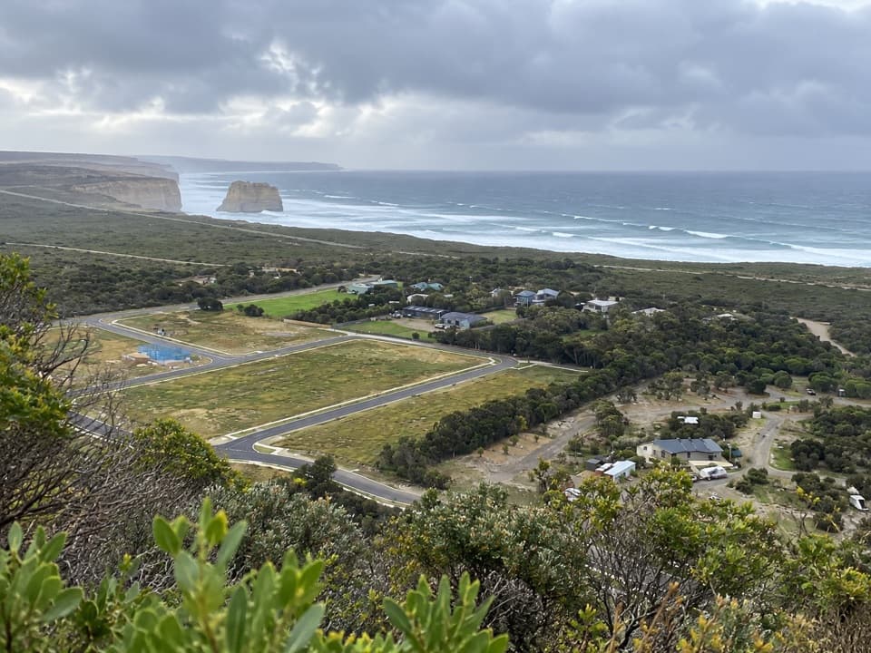
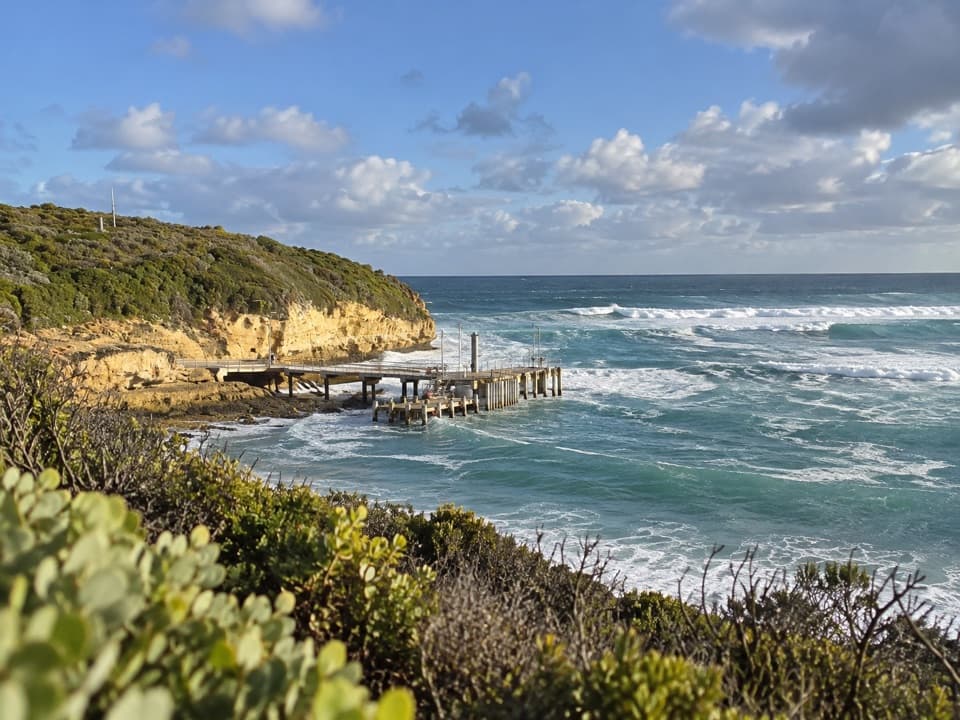
The upper path is compacted gravel with rolling sections and occasional steps. Views open over Port Campbell's sheltered harbour, then out along the coast; from the Two Mile Bay end you can look back toward Sentinel Rock and the Twelve Apostles. Keep to the path and behind barriers because the cliff edges are unstable. From the harbour-side viewpoint, frame the wharf below the pale headland to show the scale.

How the coast was madeRain, wind and Southern Ocean waves have worn these soft limestone cliffs for thousands of…

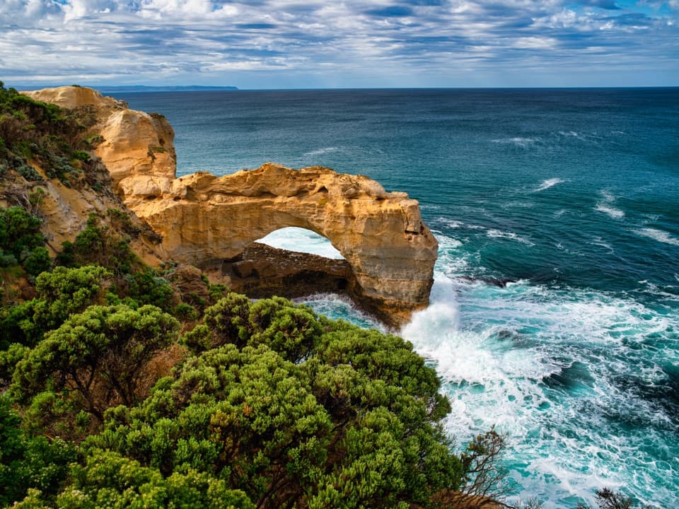
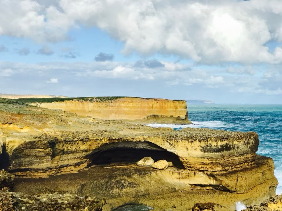
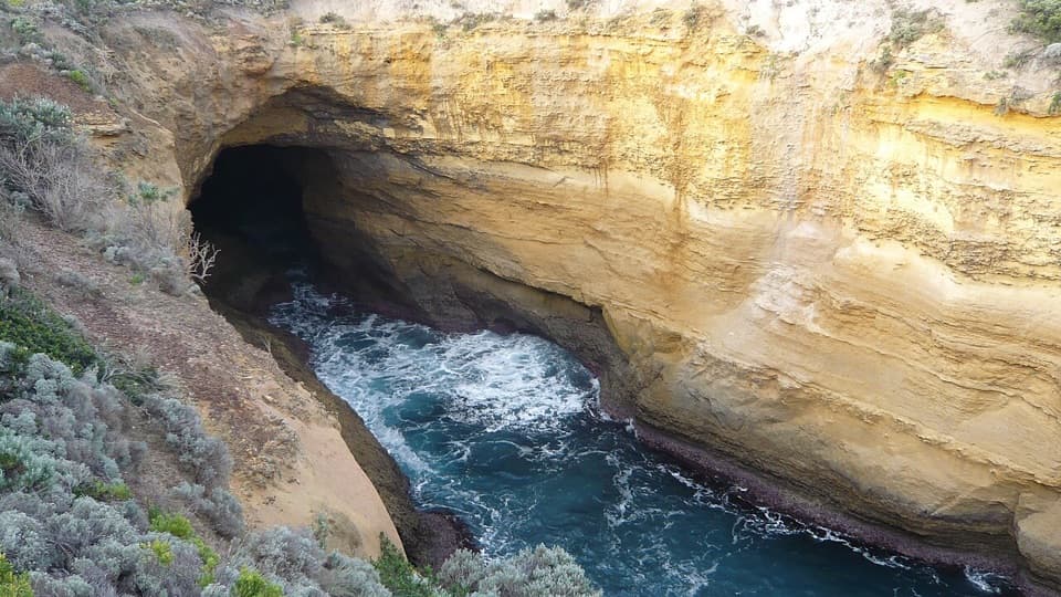
Rain, wind and Southern Ocean waves have worn these soft limestone cliffs for thousands of years, carving the stacks, arches and small islands that give the Shipwreck Coast its shape. The change is still happening, so stay on established paths and platforms.

Heathland wildlifeThe route crosses coastal heath, home to the rufous bristlebird, a resident rarity in these…

The route crosses coastal heath, home to the rufous bristlebird, a resident rarity in these parks. It is often seen darting across walking tracks and car parks, but a sighting is never guaranteed.

Useful to knowDogs are not allowed.

Dogs are not allowed. Port Campbell has public toilets, potable water, picnic facilities, fuel, dining and shops; those are town facilities, not services along the walk. The Two Mile Bay Road access has limited parking, and its turnoff from the Great Ocean Road is unsigned.

Eastern Maar CountryThis is Eastern Maar Country.

This is Eastern Maar Country. The Traditional Owners maintain a continuous connection to this coast and its surrounding lands.

Wildlife

Wildlife in Great Ocean Road

All Great Ocean Road wildlife maps

Sighting maps show where each species has been reported across Great Ocean Road. Wildlife moves, so no sighting is guaranteed.
Keep exploring

Near Port Campbell Discovery Walk

See it all on the map

Trails that start nearby

Places near the trailhead

Parkwolf’s Great Ocean Road ranking

Top-rated trails in Great Ocean Road

All 109 trails
  1. 1Great Ocean WalkChallenging · 100 km
  2. 2Maits Rest Rainforest WalkEasy · 0.8 km
  3. 3Triplet Falls WalkModerate · 2 km
  4. 4Hopetoun Falls WalkModerate · 0.8 km
  5. 5Erskine Falls WalkModerate · 0.7 km
  6. 6Surf Coast WalkChallenging · 41.5 km

Take Parkwolf to Great Ocean Road.
The audio tour guide for the drive, plus offline maps, trails, and wildlife heatmaps for when the signal drops.

4.7 from 8,600+ ratings

Download Parkwolf on the App StoreGet Parkwolf on Google Play