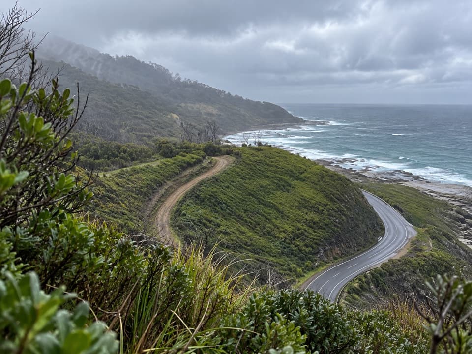
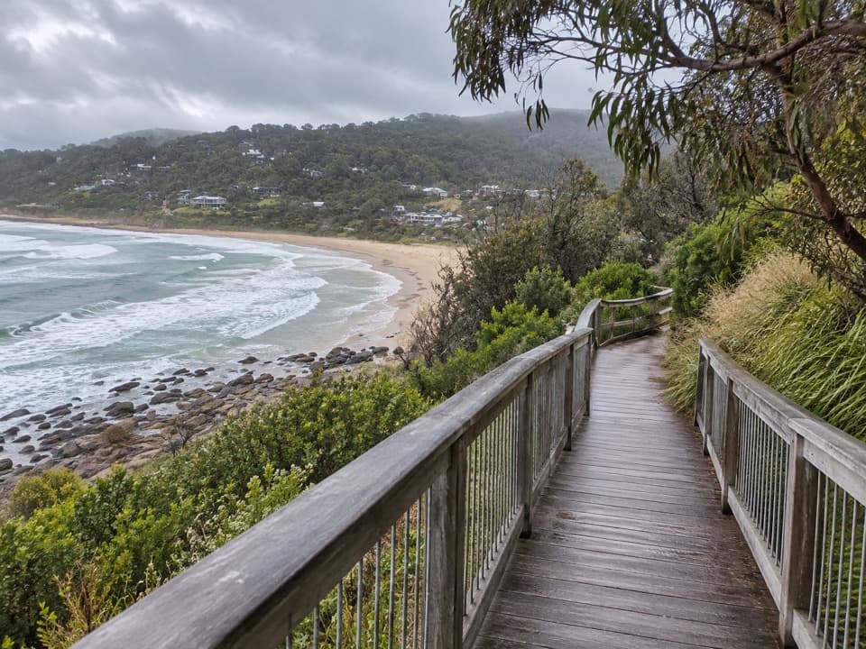
Grey River Picnic Area in Great Otway National Park

Picnic area · Great Otway National Park

Grey River Picnic Area

A quiet rainforest picnic stop with a glow-worm walk after dark.

Type
Picnic area
Nearest trail
Right here
Audio stories
4 nearby
  • Picnic tables
  • Trailhead
  • Parking

Hear the audio tour

Grey River: Picnic Tables and Glow Worms
Download Parkwolf on the App StoreGet Parkwolf on Google Play

4.7 from 8,600+ ratings

Overview

About Grey River Picnic Area

Why stop

  • Quiet river-valley walk through cool temperate rainforest
  • Glow worms are repeatedly reported along the creek after dark

Heads up

  • The final 6.3 km approach is unsealed and can be slippery after rain

Map

Where it is

Loading the Great Otway map
Full map
Picnic areaGrey River Picnic Area-38.65969, 143.81596
Keep this map with you offline in the Parkwolf app

Plan your stop

Before you go

3 active Great Otway alerts

  • ClosureWye Road closed after storm and flood damageWye Road remains closed; do not use the road. - Recent storm and flood damage caused the closure so road maintenance and repair works can be carried out; the closure is until further notice.Official details
  • ClosureFive seasonal tracks closed for flood recoveryJamieson Track, Curtis Track, Kennet Road, Kennet–Wye Jeep Track and Godfrey Track remain closed.Official details

See all 3 alerts
A park ranger sits on a dash-mounted phone, talking, as Parkwolf’s Tour Guide plays “Army Cutworm Moths: A Grizzly Bear Buffet” on Grand Loop Road below Dunraven Pass in Yellowstone
Parkwolf Tour GuideThe highest, rockiest slopes around here are a summer buffet for grizzly bears.

Great Otway Tour Guide

Your drive to Grey River Picnic Area, narrated.

Parkwolf is a GPS audio tour guide for Great Otway National Park. As you drive, it chimes in with what’s ahead: hidden gems, upcoming stops, history, geology, and wildlife, right through your car’s speakers.

See the Great Otway audio tour

Recorded for this place

Grey River: Picnic Tables and Glow Worms
0:00 / 0:29
“Grey River Picnic Area is coming up, a small forest clearing with tables for your own picnic. It’s a good daytime break, but glow worms along the creek give it a different appeal after dark.”

Plays as you drive up to Grey River Picnic Area in the Parkwolf Great Otway Tour Guide.

More stories near here in the app

  • The Calls Above Our Hearing
  • A Tunnel Inside a Leaf
  • Sloping Lines Inside the Sandstone
  • The Beech That Stays Green
  • 252 audio storiesacross Great Otway’s roads, triggered by GPS as you drive
  • Wildlife heatmapsfor Koala, Grey Kangaroo, Echidna, and 13 more
  • Works offlinemaps, 83 trails, 79 places, and audio download before you lose signal
  • CarPlay readysimple controls built for the drive
★★★★★
“Fantastic app with many points of information… It’s great to just turn on while you’re driving and it gives you an audio tour of the national Park. We love it!!!!”
JMJamesApp Store review
Download Parkwolf on the App StoreGet Parkwolf on Google Play

4.7 from 8,600+ ratings

Guide

More about Grey River Picnic Area

Give the walk about 90 minutesGrey River Picnic Area is a small picnic ground and trailhead at the end of Grey River Road.

Grey River Picnic Area is a small picnic ground and trailhead at the end of Grey River Road. If you’ve come this far, do the Grey River Nature Walk: it crosses a bridge, has a branch to the riverbed, and continues to a lookout with views through trees over a ferny gully and forested hills. Plan about 90 minutes for the 3 km return walk. The last 6.3 km of Grey River Road is unsealed, and visitors say it can get muddy and slippery after rain.

Stay for the glow wormsGlow worms along the creek are a repeated reason people visit after dark.

Glow worms along the creek are a repeated reason people visit after dark. Arrive around dusk and give your eyes time to adjust; sightings aren’t guaranteed. Reports of koalas and wallabies vary, so treat them as a bonus rather than a plan.

Look closely at the rainforestThe walk passes large-buttressed Mountain Ash among Manna Gums and Southern Blue-gums, with…

The walk passes large-buttressed Mountain Ash among Manna Gums and Southern Blue-gums, with vines, tree ferns, mosses, lichens and fungi below. Keep an eye out for carnivorous Otway Black Snails in the darker, cooler parts of the track; they’re sometimes found there.

A valley spared from loggingEarly timber-getters considered this valley special and left it unlogged.

Early timber-getters considered this valley special and left it unlogged. The walk gives you a close look at the eucalypts, ferny gullies and dense undergrowth that make the place feel different from a quick roadside stop.

Picnic, not campgroundThere are picnic tables and wood-fired barbecues; bring your own firewood.

There are picnic tables and wood-fired barbecues; bring your own firewood. Dogs and camping aren’t allowed, so keep this as a day stop.

Wildlife

Wildlife in Great Otway

All Great Otway wildlife maps

Sighting maps show where each species has been reported across Great Otway. Wildlife moves, so no sighting is guaranteed.

Parkwolf’s Great Otway ranking

Top sights in Great Otway

All 79 places
  1. 1Cape Otway LightstationSight
  2. 2Erskine FallsSight
  3. 3Hopetoun FallsSight
  4. 4Triplet FallsSight
  5. 5Aire Valley RedwoodsSight
  6. 6Lake ElizabethSight

Take Parkwolf to Great Otway.

The audio tour guide for the drive, plus offline maps, trails, and wildlife heatmaps for when the signal drops.

4.7 from 8,600+ ratings

Download Parkwolf on the App StoreGet Parkwolf on Google Play