Parking
Use the signed Carisbrook Falls Visitor Area roadside car park off the Great Ocean Road. Watch for the entrance near the bend; visitors report that it can be easy to miss.

Great Otway National Park, VIC
A short climb opens a distant view of Carisbrook Falls.
Overview
Map & elevation
Plan your hike

The highest, rockiest slopes around here are a summer buffet for grizzly bears.
Great Otway Tour Guide
Parkwolf is a GPS audio tour guide for Great Otway National Park. As you drive, it chimes in with what’s ahead: hidden gems, upcoming stops, history, geology, and wildlife, right through your car’s speakers.
See the Great Otway audio tourRecorded for this trailhead
Carisbrook Falls: Across the Gorge“You're coming up on the Carisbrook Falls walking access, where a short climb leads to a view across a steep gorge. Allow fifteen to thirty minutes return, with an uneven uphill stretch.”
Plays as you drive up to this trailhead in the Parkwolf Great Otway Tour Guide.
More stories near here in the app
“Fantastic app with many points of information… It’s great to just turn on while you’re driving and it gives you an audio tour of the national Park. We love it!!!!”


Trail guide
Carisbrook Falls Walk is a short out-and-back from the visitor-area car park to a lookout across Carisbrook Creek's gorge. The best-supported route descriptions put it at about 0.6 km return and allow 15–30 minutes. The walk is brief but uphill, with a steeper, uneven stretch. Come for a quick Great Ocean Road break and a high view of the cascades; skip it if you want to stand beside a waterfall or are looking for a longer hike. Published figures conflict: one park route figure is 1.5 km return, so check the sign at the start if exact mileage matters.
From Carisbrook Falls Visitor Area, the footpath climbs beside a wooded, creek-cut slope to a single lookout, then returns the same way. From there the falls lie across the ravine, not at the end of a descent to their base. The trail does not reach the falls themselves. The water is usually more visible after rain and can dwindle during drier spells. For a photo, include the gorge's layered rock and vegetation so the distance between the lookout and cascade is clear.
Carisbrook Creek cuts across tilted marine arkose, forming rapids and cascades along a longer stream reach. Geological accounts describe almost 200 m of cumulative fall over about 500 m of creek; that total is spread across the reach, not the height of the single cascade seen from this lookout. The rocky layers help explain why the water drops in a series rather than one clean plunge.
Use the Carisbrook Falls Visitor Area roadside car park off the Great Ocean Road. Watch for the signed entrance near a bend; visitors have found the turnoff easy to miss. No food, drinking-water source, or toilet facility was confirmed at the trailhead. Ordinary pets are not allowed on this walk; assistance-dog entry follows Parks Victoria's requirements.
Wildlife
 204 sightingsKoalaMost seen around 6 PMSighting map
 35 sightingsGrey KangarooMost seen around 6 AMSighting map
 109 sightingsEchidnaMost seen around 5 PMSighting map
 58 sightingsKookaburraMost seen around 6 AMSighting map
 97 sightingsSwamp WallabyMost seen around 6 PMSighting map
 20 sightingsBrushtail PossumMost seen around 8 PMSighting map
Sighting maps show where each species has been reported across Great Otway. Wildlife moves, so no sighting is guaranteed.
Keep exploring
 EasyKennett River Glow-Worm Walk0.2 km · 30 min · 3.6 km awayA 0.15-mile night walk to a creekside glow-worm grotto.
 EasyKennett River Nature Walk2.5 km · 45 min · 5.3 km awayAn easy riverbank walk with local wildlife and history to notice.
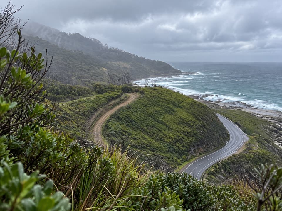 ModerateWye to Kennett River Walk5.5 km · 3 hr · 9.4 km awayCoastal views give way to ferny gullies and old mill country.
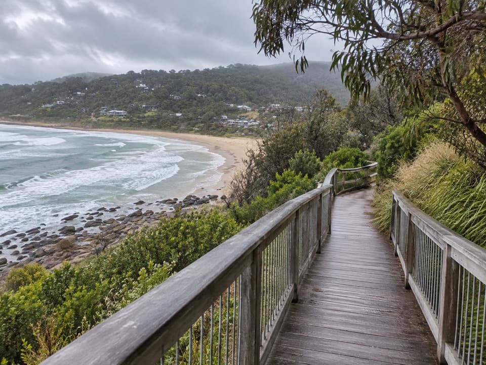 EasyPaddy’s Path0.8 km · 20 min · 9.6 km awayA timber boardwalk looks over Wye Beach from an old tramway line.
 ModerateJamieson Creek to Separation Creek Walk5.3 km · 2.5 hr · 14 km awayShort climbs trade forest shade for long coastal views.
 ModerateApollo Bay to Elliot Ridge9.9 km · 3.8 hr · 14 km awayCoastal beaches, an unbridged river and a ferny camp beneath tall trees.
 ChallengingGreat Ocean Walk100 km · 1.5 days · 14.1 km awayA full coastal crossing from Otway forest to the Twelve Apostles.
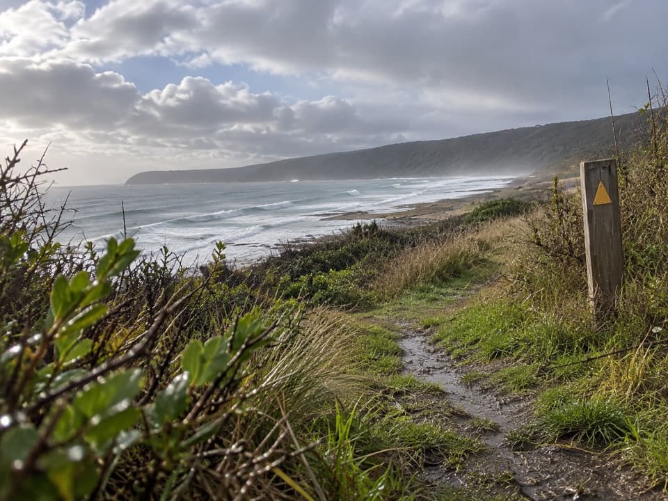 ModerateMarengo to Shelly Beach Walk4.7 km · 2.5 hr · 15.8 km awayWalk from Marengo Beacon across beaches and Bald Hill to Shelly Beach.Sight · 0.2 km awayCarisbrook FallsA short climb to a long cascade across a steep gorge.
 Picnic area · 3.6 km awayGrey River Picnic AreaA quiet rainforest picnic stop with a glow-worm walk after dark.
 Sight · 8.7 km awaySabine FallsA rainforest walk to three tall falls across a green valley.
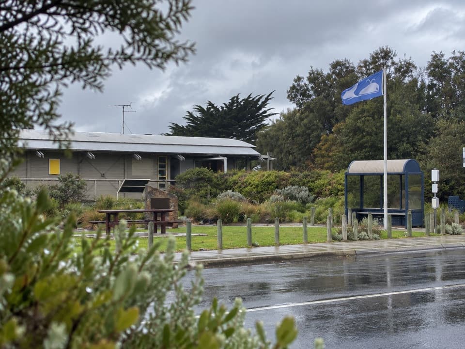 Visitor center · 14 km awayGreat Ocean Road Visitor Information Centre, Apollo BaySort the Otways, tours and Great Ocean Walk before setting off.
 Campground · 14 km awayJamieson Creek CampgroundA 24-site coastal camp, with ocean views and a short beach walk.
Parkwolf’s Great Otway ranking

The audio tour guide for the drive, plus offline maps, trails, and wildlife heatmaps for when the signal drops.




