Pros & cons
PROS
- Shady creekside spot with picnic tables, cooler than the dunes
- Vault toilet on site and far fewer people than the main area
CONS
- High-clearance 4WD required beyond the Point of No Return
- No potable water or trash service—pack it in and out
Overview
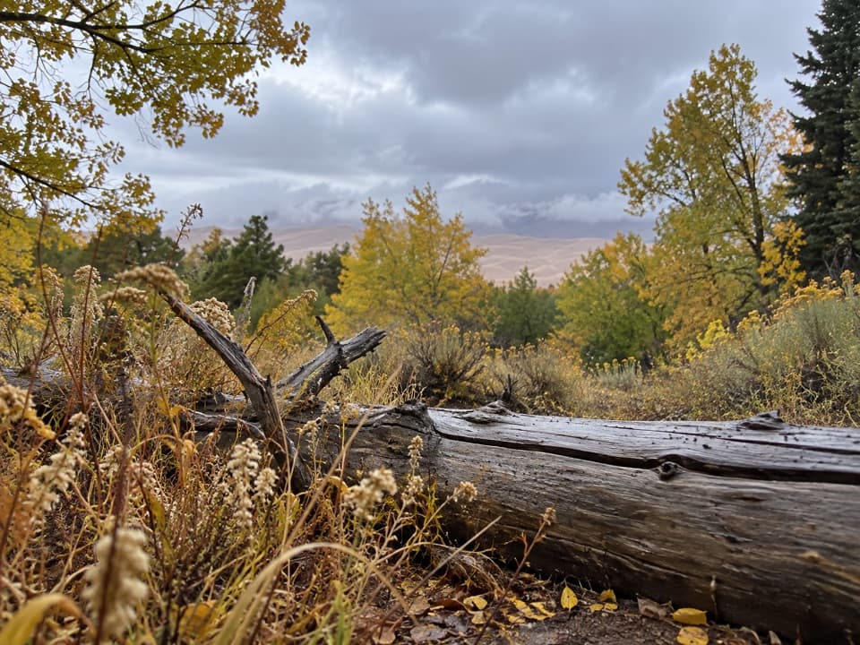
Castle Creek Picnic Area is a quiet, shaded pullout tucked in the forest along a small creek off the park’s Medano Pass Primitive Road. It’s a welcome break from the heat and crowds at the main dune edge—think cottonwoods, the sound of water when it’s flowing, and a couple of sturdy tables for lunch.
Location & Access
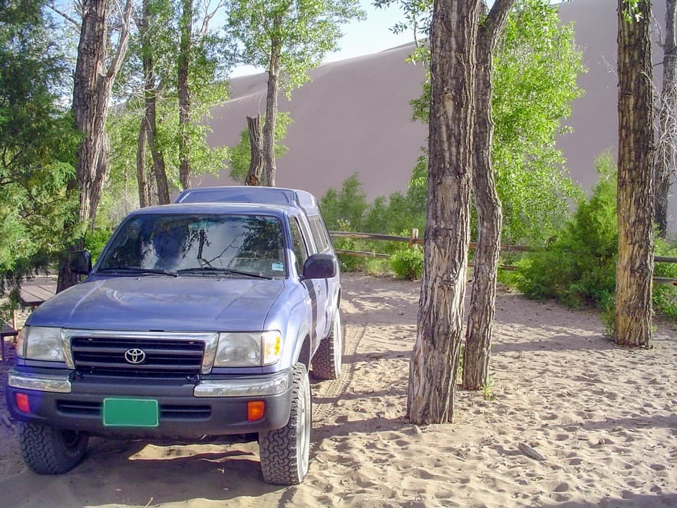
You’ll find it about 2.6 miles up Medano Pass Primitive Road from the south side of the park. Past the Point of No Return (around mile 1.1), this route is true backcountry driving: deep sand, narrow rocky bits, and seasonal creek crossings. High‑clearance 4WD and aired‑down tires are the norm; AWD and low‑clearance vehicles are not permitted. An air‑up station operates seasonally near the south entrance. Not driving 4WD? You can hike the road from the Point of No Return to Sand Pit, then continue roughly three‑quarters of a mile to Castle Creek.
Facilities
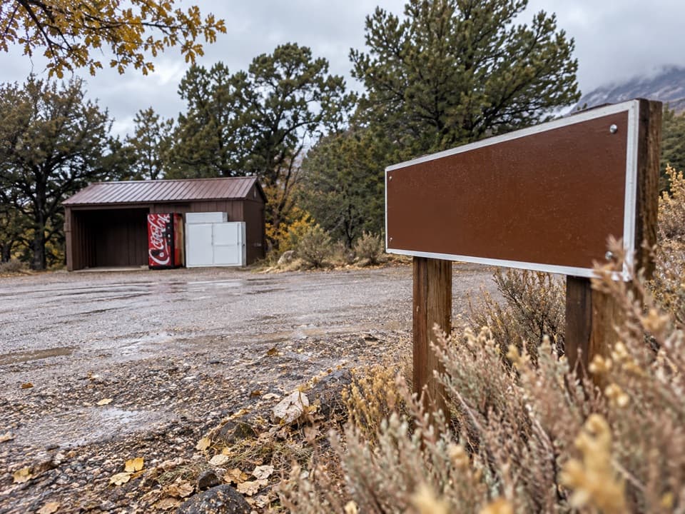
Expect minimal development: picnic tables and a vault toilet, day‑use only. There’s no potable water and no trash service—bring all you need and pack everything out. Open fires are limited to designated roadside campsites farther up the corridor, not at simple picnic pullouts like this one. No camping at Castle Creek; the first designated roadside campsites begin several miles farther in.
What It Feels Like
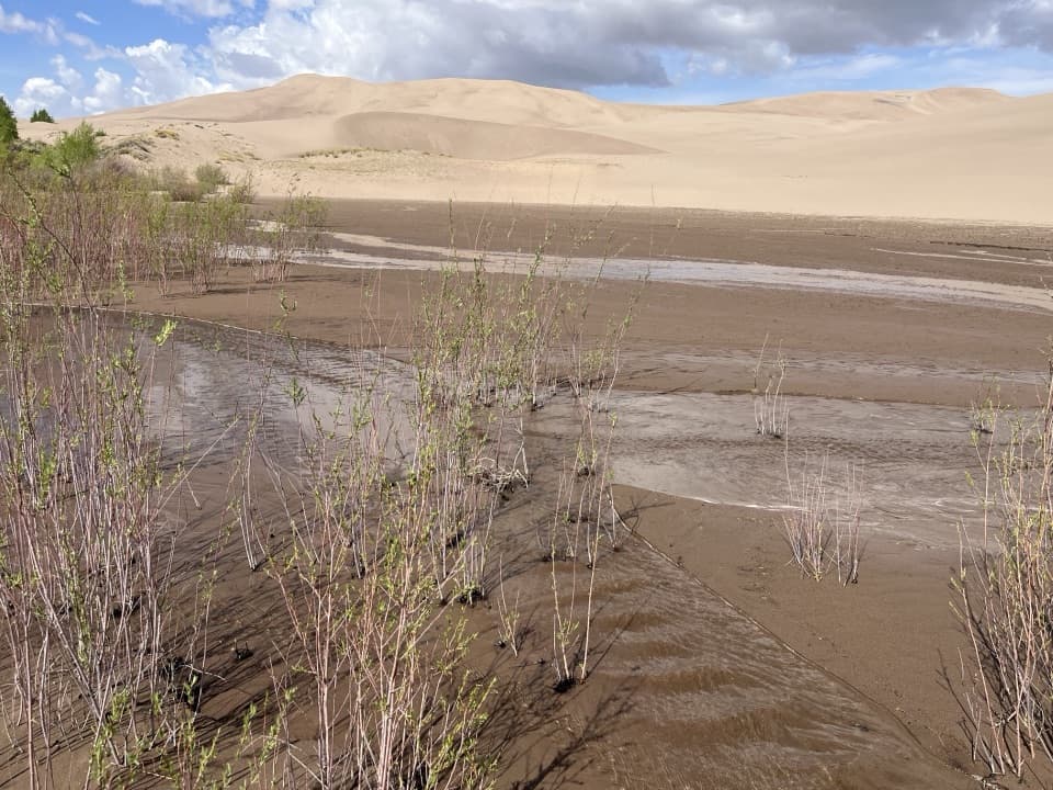
The setting is riparian and shaded, usually cooler and breezier than the open sand. Cell service is spotty. You’ll typically see far fewer people here than at the dune parking area. Mosquitoes can make an appearance in late spring and early summer near water. Medano Creek and its tributaries are highly seasonal—some years the channel here is bone‑dry by mid‑summer; in wet springs, you may find splashable flow. For example, late‑August 2025 conditions were dry at Castle Creek and nearby areas after a weak snowpack and monsoon.
Wildlife & Safety
Store food like you’re in bear country—use bear boxes where provided or keep food locked in your vehicle, and never leave it unattended. Don’t feed wildlife and give deer or pronghorn plenty of space. Summer brings heat and sudden storms: carry extra water, avoid peak‑heat hours, and move to lower, forested areas if thunder rolls. Expect strong gusty winds at times.
Best Time to Visit
- For shade and comfort: mornings or late afternoons.
- For water play: late May to early June in average or wet years; it often dries out later in summer.
- For fewer people: weekdays outside the peak late‑May/early‑June rush when Medano Creek is flowing near the dunes.
- For road access: late spring through fall, weather‑dependent—always check current conditions with rangers before committing to the primitive road.
Who Will Love It (and Who Won’t)
If you want a calm, creek‑adjacent picnic and don’t mind a short 4WD adventure (or a road walk), Castle Creek is a gem. If you’re in a standard car, crave big dune views from your table, or need full services, stick to the main dune‑edge picnic area instead.
Where it is
37.7716, -105.5073Tips for Castle Creek Picnic Area
- 01Check Medano Pass Primitive Road conditions with rangers and be ready to air down tires; bring a way to reinflate.
- 02No 4WD? Hike from the Point of No Return to Sand Pit, then about 0.75 miles farther to Castle Creek.
- 03Bring ample water and pack out all trash—there’s no potable water or bins.
- 04Bug repellent helps in late spring and early summer near the creek.
- 05In summer, aim for early morning or evening to dodge heat and thunderstorms.
Amenities
Near Castle Creek Picnic Area
All places →All trails →
0.7 mi awaySand Pit Picnic AreaQuieter dunes-and-creek access off the park’s sandy 4WD roadPicnic Table · Restroom
1 mi awaySand Ramp TrailLong, sandy connector mostly for backcountry access—not for instant viewsChallenging · 11 mi · 4 hr
1 mi awayPoint of No Return Trailhead2WD gateway to Sand Ramp Trail and the eastern dune ridgeTrailhead · Parking
1 mi awaySand Creek TrailRemote, sandy slog to a wild creek corridor and alpine gateway.Challenging · 10 mi · 0 min
1.3 mi awayIndian Grove SiteHistoric bark-peeled pines with a quiet backcountry campsiteRestroom · Scenic Viewpoint
1.3 mi awayLower Dunes OverlookShort spur to a bench-framed, big-sky view of the dunesScenic Viewpoint
1.9 mi awaySand Sheet Loop TrailEasy interpretive loop with big dune and Sangre views.Easy · 0.4 mi · 15 min
2.3 mi awayStar DuneLong ridge walk to one of North America’s tallest dunesChallenging · 7.1 mi · 4 hr