Zapata Falls Trail in Great Sand Dunes National Park

#7 of 17 trails in Great Sand Dunes

Great Sand Dunes National Park, CO

Zapata Falls Trail

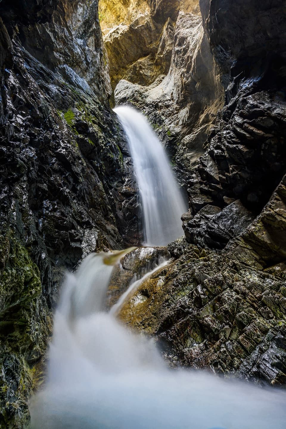
A mile round trip ends at falls tucked inside a rock cleft.

Photo: Wikimedia Commons
Length
1mi
Time
45min
Elev. change
377ft
Difficulty
Moderate
  • Dogs allowed
  • High point 9,429 ft

Hear the audio tour

Zapata Falls

Overview

About Zapata Falls Trail

Why go

  • A 25-foot cascade in a narrow, shaded rock cleft
  • A short, distinctive stop near the dune field

Heads up

  • Reaching the falls requires a cold, slippery creek wade
  • The access road is rough and unpaved for 3.5 miles

Map & elevation

The route

Loading the Great Sand Dunes map
Full map
Elevation9,052–9,429 ft
TrailheadZapata Falls Trailhead / BLM Day-Use Area37.62157, -105.55952
Keep this map with you offline in the Parkwolf app

Plan your hike

Before you go

Parking

Use the BLM day-use gravel lot beside the campground. From the Great Sand Dunes Visitor Center, drive 8 miles south on CO 150, turn east onto the signed rough dirt road, and continue 3.5 miles. The recreation area has a second gravel lot by the scenic overlook; overflow parking can extend along the access road when busy.

Safety

The falls are upstream from the dry trail, so reaching the base requires wading over cold water and slippery rocks. Early-summer snowmelt or thunderstorms can make the water deep and swift; winter ice and spring falling ice are hazards. Do not climb the canyon walls.

2 active Great Sand Dunes alerts

  • CautionStage 1 fire restrictionsStage 1 fire restrictions are active throughout Great Sand Dunes; use fires only in designated steel fire rings or picnic-site barbecues.Official details
  • CautionSwift, deep water on Medano Pass Primitive RoadMedano Pass Primitive Road is open, but heavy rain has created swift water up to 3 feet deep, especially at creek crossings 3, 4, and 5.Official details
Great Sand Dunes alerts
A park ranger sits on a dash-mounted phone, talking, as Parkwolf’s Tour Guide plays “Army Cutworm Moths: A Grizzly Bear Buffet” on Grand Loop Road below Dunraven Pass in Yellowstone
Parkwolf Tour GuideThe highest, rockiest slopes around here are a summer buffet for grizzly bears.

Great Sand Dunes Tour Guide

Your drive to Zapata Falls Trail, narrated.

Parkwolf is a GPS audio tour guide for Great Sand Dunes National Park. As you drive, it chimes in with what’s ahead: hidden gems, upcoming stops, history, geology, and wildlife, right through your car’s speakers.

Recorded for this trailhead

Zapata Falls
0:00 / 0:33
“Up ahead is the Zapata Falls trailhead, where a short hike leads to a waterfall hidden inside a narrow rock cleft. Allow about an hour for the mile round trip, but don't mistake the short distance for an easy stroll.”

Plays as you drive up to this trailhead in the Parkwolf Great Sand Dunes Tour Guide.

More stories near here in the app

  • A Valley That Sank
  • The Birds Behind the Waterfall
  • Why the Sand Has Black Streaks
  • Lightning Written in Glass
  • 31 audio storiesacross Great Sand Dunes’s roads, triggered by GPS as you drive
  • Wildlife heatmapsfor Elk, Pronghorn, Wild Turkey, and 13 more
  • Works offlinemaps, 17 trails, 29 places, and audio download before you lose signal
  • CarPlay readysimple controls built for the drive
★★★★★
“Fantastic app with many points of information… It’s great to just turn on while you’re driving and it gives you an audio tour of the national Park. We love it!!!!”
JMJamesApp Store review
Download Parkwolf on the App StoreGet Parkwolf on Google Play

4.7 from 8,600+ ratings

Trail guide

Hiking Zapata Falls Trail

A short hike with a wet finishZapata Falls Trail is a half-mile-each-way out-and-back from the BLM day-use area, about 1 mile…

Zapata Falls Trail is a half-mile-each-way out-and-back from the BLM day-use area, about 1 mile round trip. The rocky path climbs from roughly 9,000 feet to the creek, then the falls lie upstream: seeing the cascade from its base means wading over slippery rocks. Allow 45 minutes to an hour if conditions are safe. This is a nearby BLM outing outside the national park boundary and a compact side trip from Great Sand Dunes, but it is not a dry-footed stroll or an easy waterfall viewpoint.

From the parking area to the creekThe trail starts beside the campground access and climbs a mildly steep, rocky tread through…

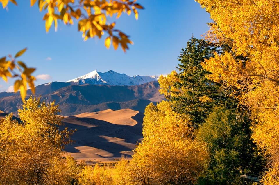
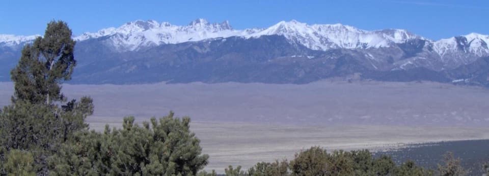
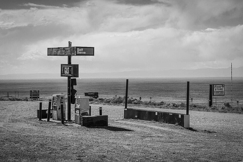
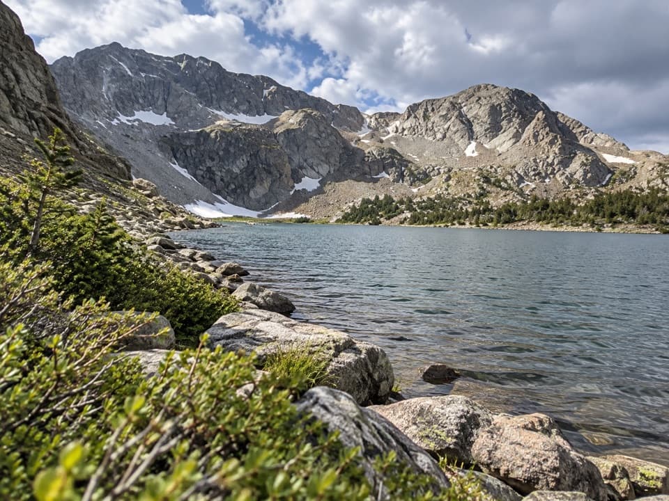
The trail starts beside the campground access and climbs a mildly steep, rocky tread through high-desert scrub, then pinyon-juniper and creekside trees. The path itself is short; the stones and elevation make it feel more strenuous than the mileage suggests. The approach road also earns a stop: views open across the San Luis Valley toward the dunefield and mountain ranges.

The wade is the cruxAt South Zapata Creek, the dry trail meets the water below the falls.

At South Zapata Creek, the dry trail meets the water below the falls. Continue carefully upstream through the creek to reach the narrow cleft. The water is cold and the rocks slick; snowmelt and thunderstorms can make the current deep or swift. Winter snow and ice make the approach slippery, and falling ice is a spring hazard. If the water or ice looks unsafe, turn back. Do not climb the canyon walls: the falls cannot be viewed from above, and climbers put themselves and people below at risk.

Inside the rock cleftSouth Zapata Creek drops more than 25 feet through a narrow, shaded rock canyon and onto a…

South Zapata Creek drops more than 25 feet through a narrow, shaded rock canyon and onto a ledge. The close view is the payoff: dark wet walls squeeze the falling water into a tight frame. If your footing is secure, a vertical phone photo that keeps both walls around the cascade shows how enclosed the cleft is.

A valley shaped by a rift and iceThe San Luis Valley lies in the Rio Grande Rift, where the Sangre de Cristo Mountains rose as…

The San Luis Valley lies in the Rio Grande Rift, where the Sangre de Cristo Mountains rose as the valley floor sank. BLM describes the gorge as a much younger feature: about two million years ago, meltwater from alpine glaciers found a weak point near a moraine, and the creek gradually cut through it. The waterfall is a small, visible piece of a much larger landscape story.

The name and the nesting swifts“Zapata” is Spanish for shoe.

“Zapata” is Spanish for shoe. The BLM history connects the name with Mexican families who established the nearby community in 1864 and raised sheep and livestock; cattlemen consolidated the land into Zapata Ranch in the 1870s. Black swifts nest in the misty cliff reaches around the falls. They are elusive, so look and listen from the trail, and stay on established access to avoid disturbing nesting birds.

Make the access workFrom the Great Sand Dunes Visitor Center, drive south 8 miles on CO 150, turn east onto the…

From the Great Sand Dunes Visitor Center, drive south 8 miles on CO 150, turn east onto the signed rough dirt road, and continue 3.5 miles to the trailhead. Park in the BLM day-use gravel lot by the campground; overflow can use the access road when the area is busy. Vault toilets are available, but there is no public drinking-water system or food service, so bring what you need. Leashed dogs are allowed.

Wildlife

Wildlife in Great Sand Dunes

All Great Sand Dunes wildlife maps

Sighting maps show where each species has been reported across Great Sand Dunes. Wildlife moves, so no sighting is guaranteed.

Keep exploring

Near Zapata Falls Trail

See it all on the map

Trails that start nearby

Places near the trailhead

Parkwolf’s Great Sand Dunes ranking

Top-rated trails in Great Sand Dunes

All 17 trails
  1. 1Dunes Overlook TrailModerate · 2 mi
  2. 2Medano Lake TrailChallenging · 7.4 mi
  3. 3Upper Sand Creek Lake TrailChallenging · 7.7 mi
  4. 4Lower Sand Creek Lake TrailChallenging · 8 mi
  5. 5Upper and Lower Sand Creek Lakes HikeChallenging · 9.9 mi
  6. 6Music Pass TrailModerate · 2.2 mi

Take Parkwolf to Great Sand Dunes.

The audio tour guide for the drive, plus offline maps, trails, and wildlife heatmaps for when the signal drops.

4.7 from 8,600+ ratings

Download Parkwolf on the App StoreGet Parkwolf on Google Play