Parking
Start at the paved Newfound Gap Overlook lot on US 441/Newfound Gap Road; the Appalachian Trailhead is left of the overlook. Pit toilets are at the gap. Parking is limited, and a parking tag is required for stays over 15 minutes.
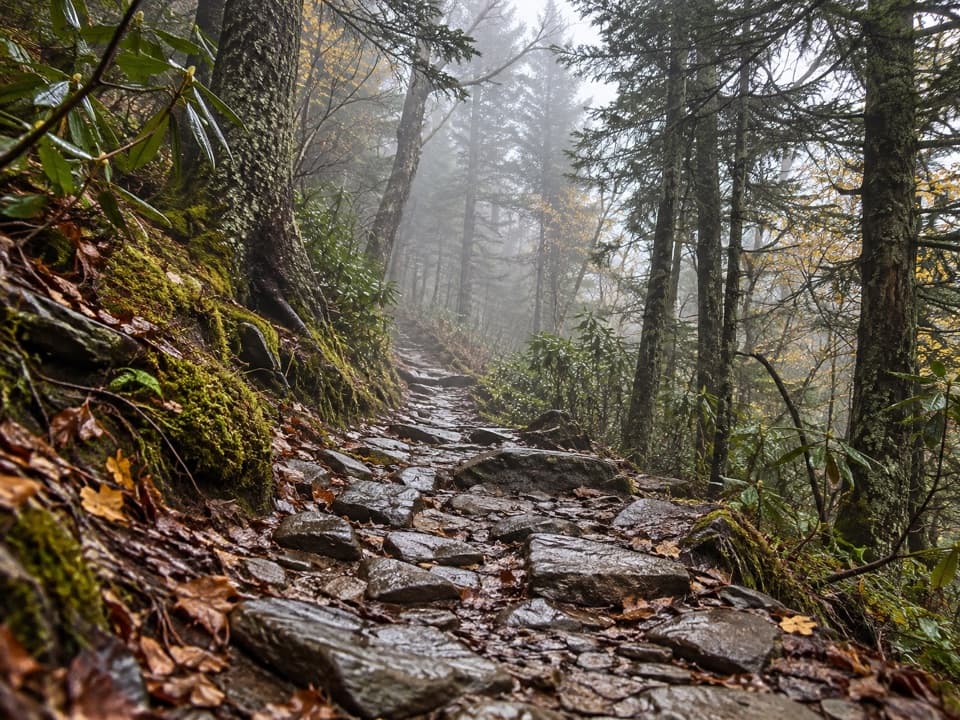
Great Smoky Mountains National Park, TN · NC
A demanding ridge traverse to Le Conte via the Appalachian Trail.
Overview
Map & elevation
Plan your hike

The highest, rockiest slopes around here are a summer buffet for grizzly bears.
Great Smoky Mountains Tour Guide
Parkwolf is a GPS audio tour guide for Great Smoky Mountains National Park. As you drive, it chimes in with what’s ahead: hidden gems, upcoming stops, history, geology, and wildlife, right through your car’s speakers.
See the Great Smoky Mountains audio tourRecorded for this trailhead
Newfound Gap and the Rockefeller Memorial“Newfound Gap is coming up, where the road crosses the Tennessee and North Carolina state line. This is a good stop for mountain views without a hike.”
Plays as you drive up to this trailhead in the Parkwolf Great Smoky Mountains Tour Guide.
More stories near here in the app
“Fantastic app with many points of information… It’s great to just turn on while you’re driving and it gives you an audio tour of the national Park. We love it!!!!”


Trail guide
This strenuous 16.2-mile out-and-back starts at Newfound Gap, follows the Appalachian Trail for 2.7 miles, then turns onto Boulevard Trail and continues into Mount Le Conte’s summit area near LeConte Lodge. You return the same way. Allow around 10 hours and most of a day: the outward leg alone gains about 2,700 feet and loses about 1,300 before you reverse it, and the ridge spends much of the route high and exposed. This is the longest of the main approaches to Le Conte. For a shorter outing from the same gap, the 8-mile round trip to Charlies Bunion follows the Appalachian Trail beyond the Boulevard junction to the Bunion and back.
The Appalachian Trail begins on the left side of the Newfound Gap overlook. It climbs through forest, with a view toward North Carolina opening after roughly 0.7 mile; around 1.7 miles, Mount Le Conte and Myrtle Point appear across the ridges. At 2.7 miles, turn onto Boulevard Trail for Le Conte. The Appalachian Trail continues toward Icewater Spring Shelter and Charlies Bunion, so check the junction before carrying on. The 16.2-mile figure follows the Le Conte route and does not include side trips.
Boulevard climbs briefly toward the Jump Off spur, then drops more than 1,000 feet from Mount Kephart in under a mile. That lost elevation has to be regained later. The middle ridge rolls over several rises, including Anakeesta Knob, with openings toward both Tennessee and North Carolina. Expect a native dirt path with roots and rocks, plus exposed ledges with cable handholds and narrow stretches where careful footing matters. The rocky Jump Off is a separate steep spur; it adds effort and distance, so decide before turning onto it.
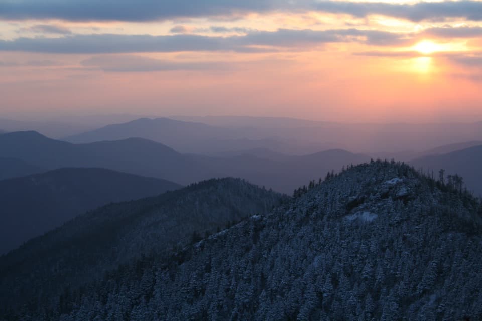
Near Le Conte, the trail climbs close to 1,300 feet over 1.5 miles toward High Top. Myrtle Point’s rocky spur comes shortly before the top and gives the broad panorama; High Top itself is the highest point but has little view. The mapped route continues to the Lodge-side junction at the far end. Nearby Cliff Tops is a separate spur, not part of this out-and-back. Save some energy for the return, which repeats the same ridges and descents in reverse.
A rocky opening on the Boulevard exposes blue-gray Anakeesta rock; flecks of pyrite in it are the source of a local tale about road builders mistaking “fool’s gold” for real gold in the 1920s. Spring ridges can have painted trillium, spring beauties, and trout lilies; grass of Parnassus and purple monkshood are reported later in summer. The high-elevation forest is home to red squirrels, though a sighting is never guaranteed.
Newfound Gap has paved parking and pit toilets; the trailhead is beside the overlook. A parking tag is required for stays longer than 15 minutes, and spaces are limited. There is no confirmed water refill point on this high traverse, so carry what you need for a full day. LeConte Lodge is at the far end and may provide sack lunches to day hikers when operating, but carry your own food. Pets are not allowed on this route. In cold weather, ice and falling icicles are possible; traction devices are recommended. The exposed ridge is vulnerable to high-elevation weather.
Wildlife
 1,567 sightingsBlack BearMost seen around 7 PMSighting map
 899 sightingsElkMost seen around 7 AMSighting map
 13 sightingsBald EagleMost seen around 9 AMSighting map
 142 sightingsTimber RattlesnakeMost seen around 6 PMSighting map
 26 sightingsBobcatMost seen around 8 PMSighting map
 42 sightingsRiver OtterMost seen around 7 AMSighting map
Sighting maps show where each species has been reported across Great Smoky Mountains. Wildlife moves, so no sighting is guaranteed.
Keep exploring
 ModerateCharlies Bunion via Appalachian Trail8 mi · 5 hr · At the trailheadAn 8-mile Appalachian Trail out-and-back to an exposed Smokies outcrop
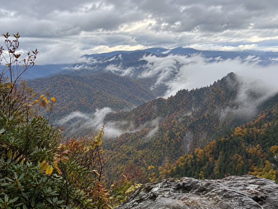 ModerateThe Jump Off Trail6.5 mi · 4 hr · At the trailheadClimb a rough AT approach to a cliffside Smokies panorama
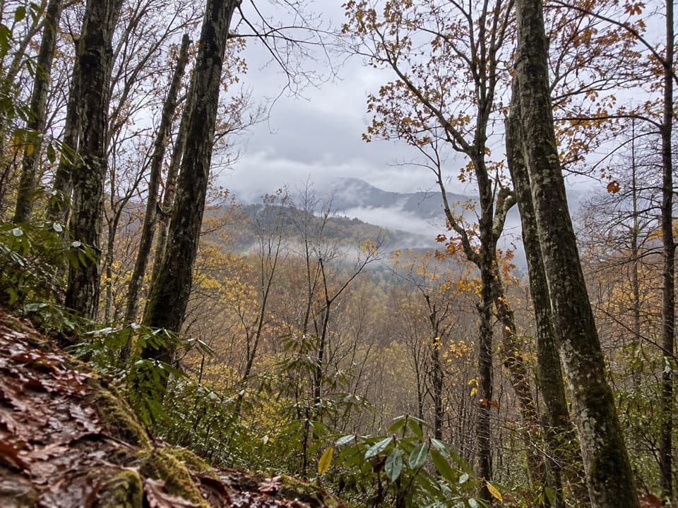 ModerateOld Deep Creek Quiet Walkway0.1 mi · 15 min · 0.6 mi awayA signed, steep forest path drops from Newfound Gap Road.
 ChallengingDeep Creek Trail14.3 mi · 8 hr · 0.8 mi awayA long one-way descent from Newfound Gap Road to Deep Creek.
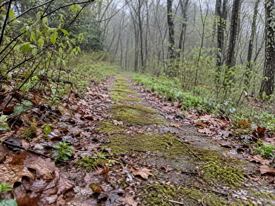 EasyBeech Flats Quiet Walkway1 mi · 45 min · 1.1 mi awayWalk a mossy old roadbed into the cool woods.
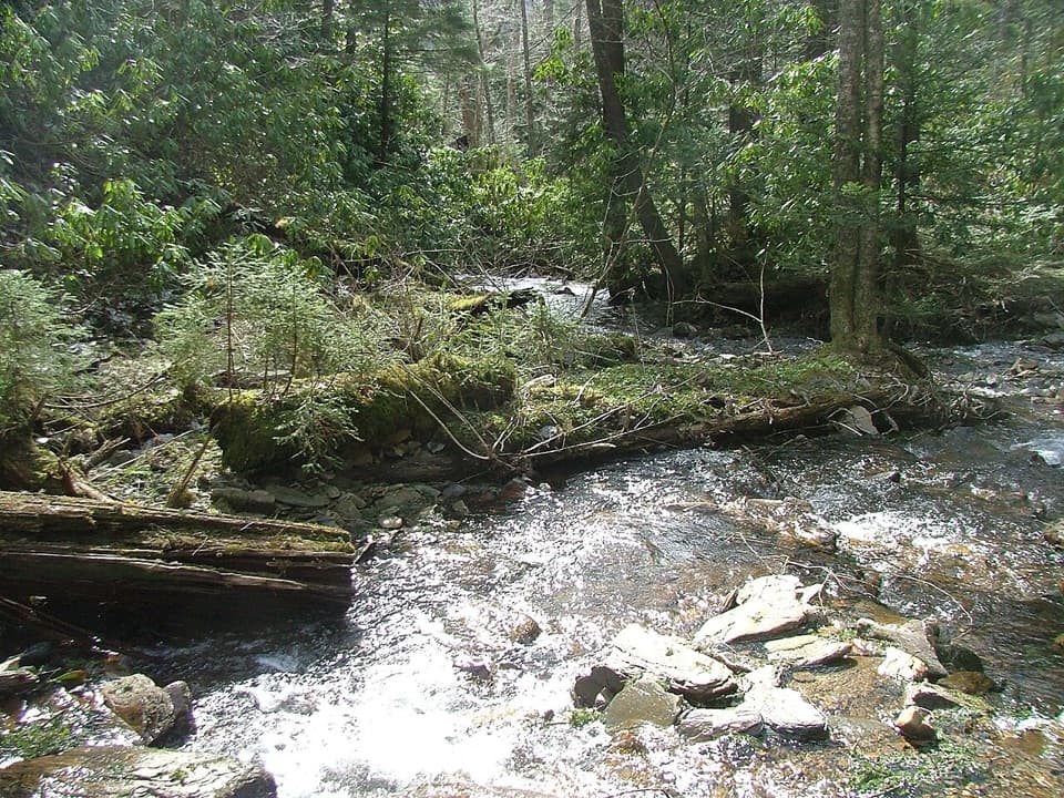 ChallengingRoad Prong Trail2.4 mi · 2 hr · 1.2 mi awayA rocky creek walk on the old Oconaluftee Turnpike
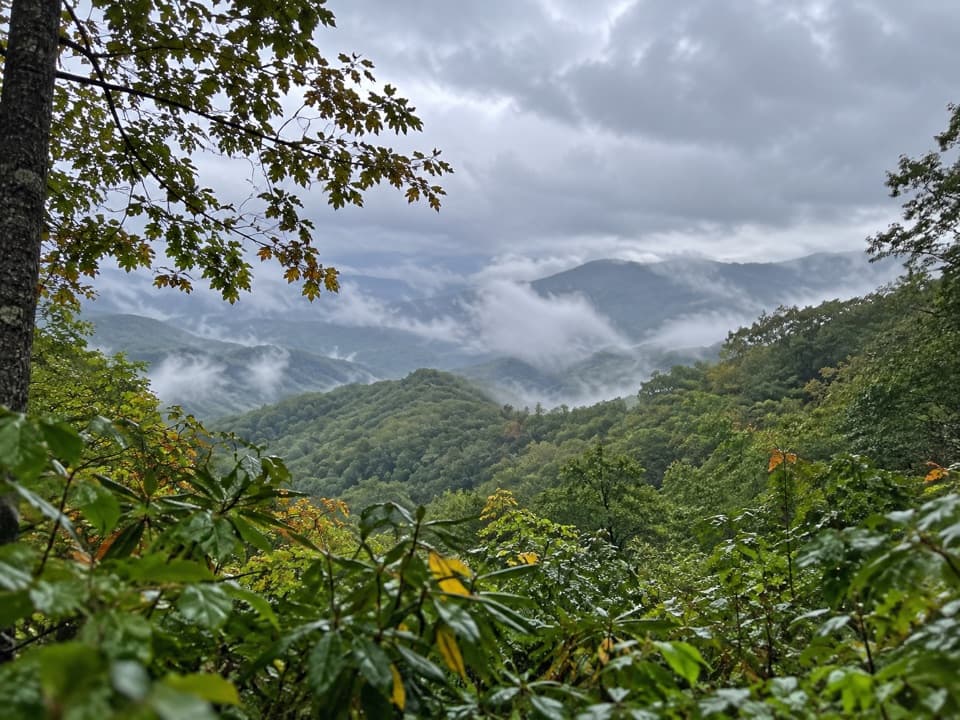 EasySwinging Bridge Quiet Walkway1 mi · 36 min · 1.2 mi awayA quiet ridge walk with a steady climb back to US 441.
 ChallengingMount Le Conte via Alum Cave Trail10 mi · 7 hr · 1.9 mi awayA creekside climb through rock passages to high mountain views.
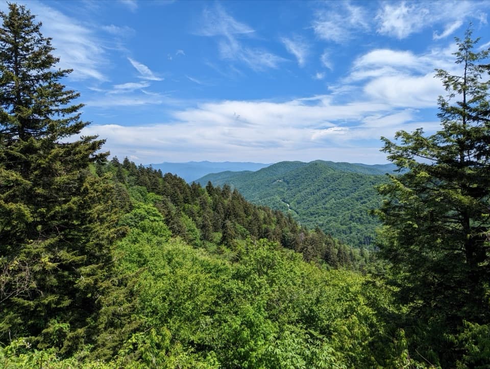 Sight · 0.1 mi awayNewfound Gap OverlookA 5,046-foot pass, a state line, and a historic terrace.
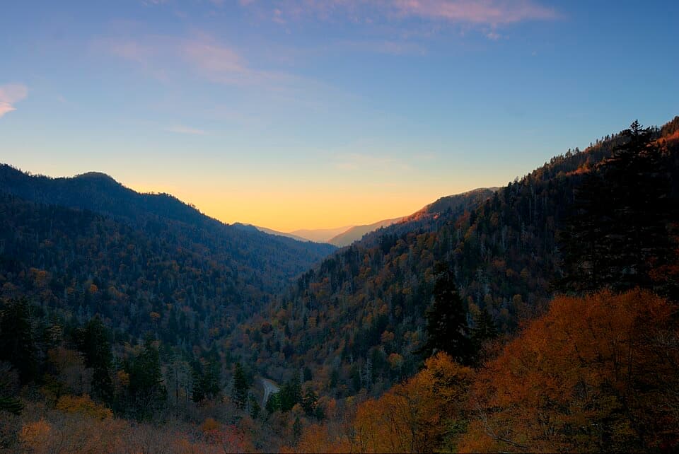 Sight · 0.4 mi awayBen Morton OverlookA west-facing Smokies overlook with a seasonal sunset alignment.
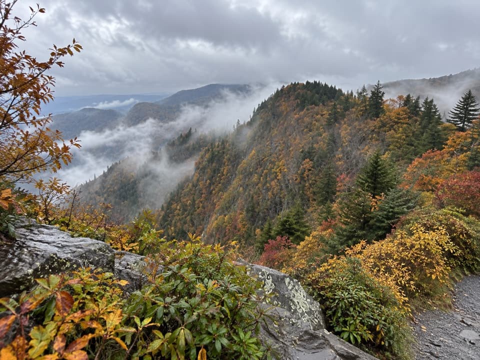 Scenic pullout · 0.9 mi awayDeep Creek Valley OverlookA roadside viewpoint over Deep Creek Valley
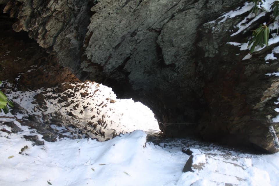 Sight · 1.9 mi awayArch RockTake the stone steps right through a natural arch.
 Sight · 2.2 mi awayAlum Cave BluffsA 4.6-mile Smokies hike ends beneath a 75-foot rock overhang.
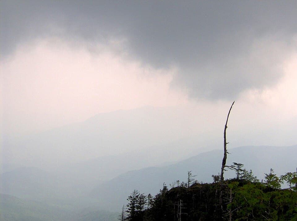 Sight · 3 mi awayMyrtle PointA serious hike earns one of Le Conte's best signed views.
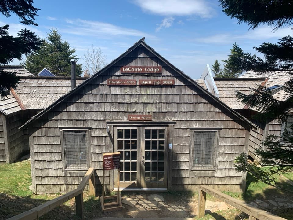 Lodging · 3.2 mi awayLeConte LodgeA historic hike-in lodge on Mount LeConte with family-style meals.
 Sight · 3.2 mi awayCliff Tops ViewpointA wide LeConte panorama, best saved for sunset.
Parkwolf’s Great Smoky Mountains ranking

The audio tour guide for the drive, plus offline maps, trails, and wildlife heatmaps for when the signal drops.


