Place · 1.9 mi away

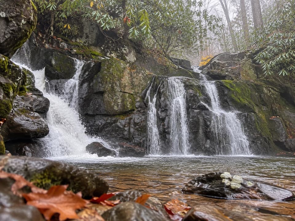
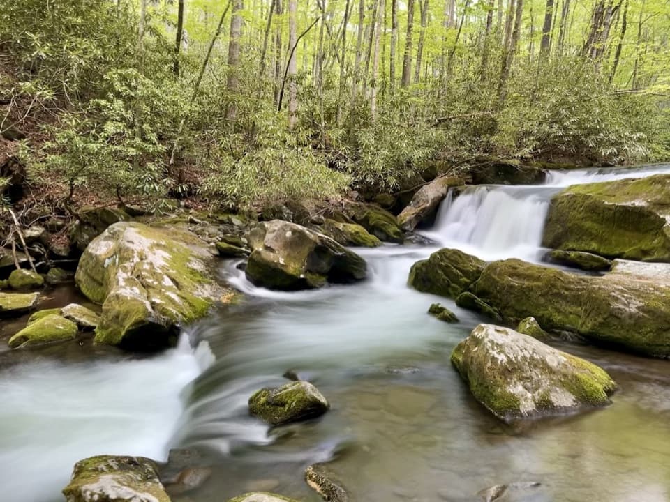
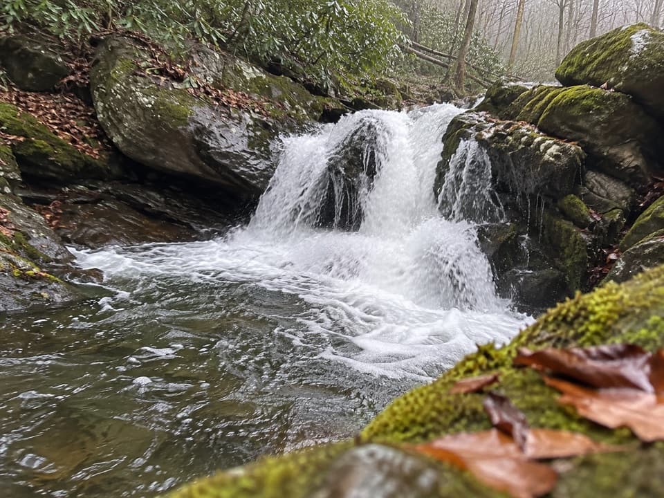
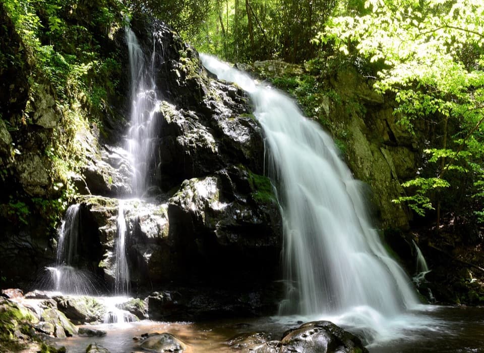
Indian Flats Falls rewards the effort with a graceful, four-tier, 60-foot cascade tucked off the Middle Prong Trail. It’s the kind of Smokies waterfall that feels discovered: you’ll hear it before you see it, and the final viewpoint is intimate and photogenic.
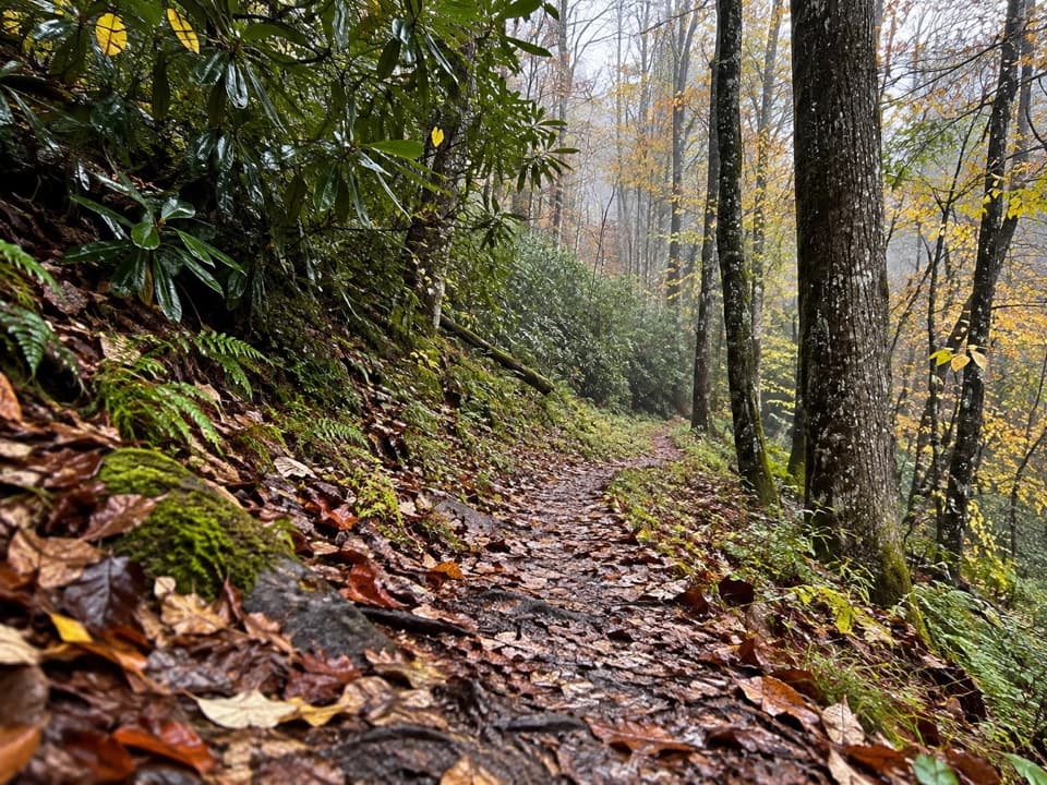
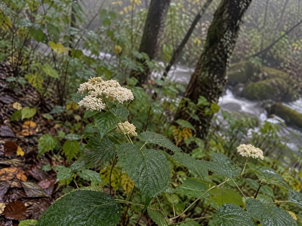
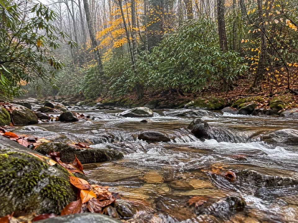
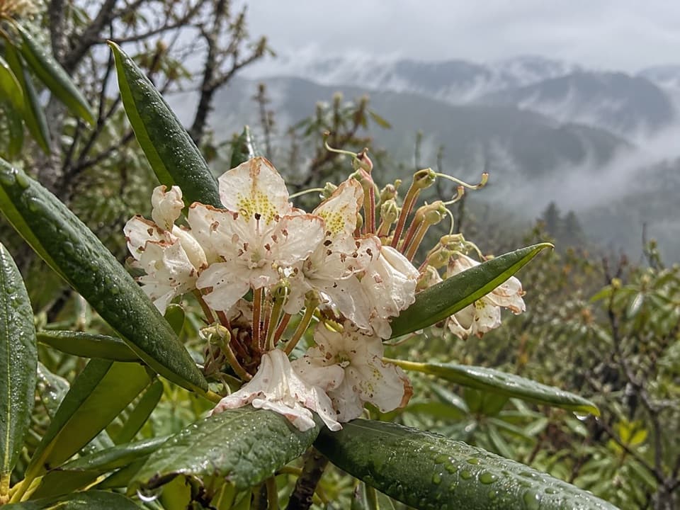
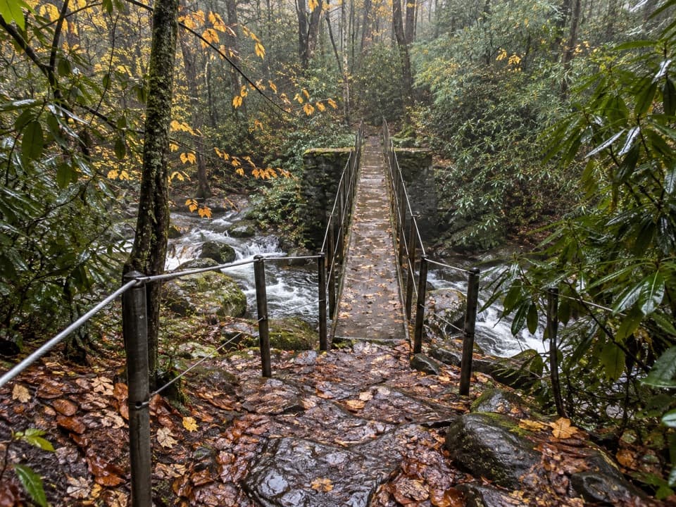
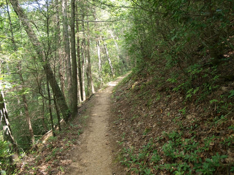
Plan on roughly 7.8–8.2 miles round trip with about 1,100–1,300 feet of gain on a steady, forgiving grade. Much of the trail follows an old logging rail/road bed along Lynn Camp Prong, so you get constant creek sounds, wide tread early on, and a mellow climb. Expect numerous cascades en route, including the Upper and Lower Lynn Camp Prong cascades in the first half-mile, plus a metal footbridge and a few switchbacks higher up. Wildflower season brings violets, foamflower, and trillium.
There’s no official sign. Around 3.7–4.0 miles from the trailhead, near a rock face and a left-hand bend/switchback on the main trail, look for a well-worn, unmaintained path on the right. It’s short but rough and can be steep/slick. If you hit the Lynn Camp Prong/Greenbrier Ridge junction around 4.1 miles, you’ve gone a bit too far—turn back a quarter-mile.
This is a classic Smokies “river-and-falls” day: constant water, frequent photo stops, and a big payoff. The multi-tiered drop is especially pretty after recent rain, and the approach feels immersive thanks to the creek-side walking and lush forest.
Rocks near the water are slick—stay on the upper tier and avoid scrambling down the mossy lower ledges. The spur is unmaintained; watch your footing and keep kids close. Expect buggy sections in warm months; bring repellent. You’re in bear habitat, so follow standard bear safety. Sturdy footwear (and trekking poles if you like) will make the rocky upper sections more comfortable.
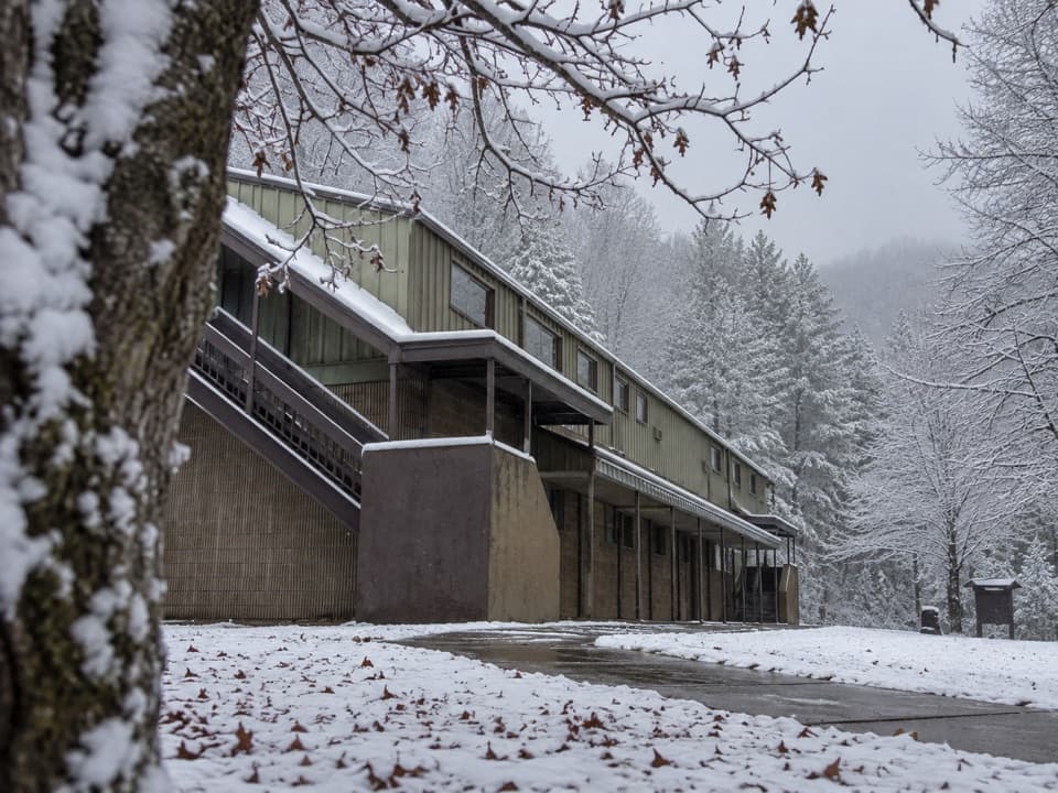
Drive past the Great Smoky Mountains Institute at Tremont onto Upper Tremont Road (graded gravel) to the Middle Prong trailhead. Parking is limited and popular—arrive early, especially on weekends and fair-weather days. There are no facilities at the trailhead; use restrooms at the Tremont Institute before the gravel road. A parking permit is required in the park. Upper Tremont Road may be closed in winter.
Waterfalls here often occur where streams drop over resistant ledges of metamorphosed sedimentary rocks (part of the ancient Ocoee Supergroup). Those hard layers erode slowly, creating the steps and lips that shape cascades like Indian Flats Falls.