Lynn Camp Prong Cascades in Great Smoky Mountains National Park

Sight · Great Smoky Mountains National Park

Lynn Camp Prong Cascades

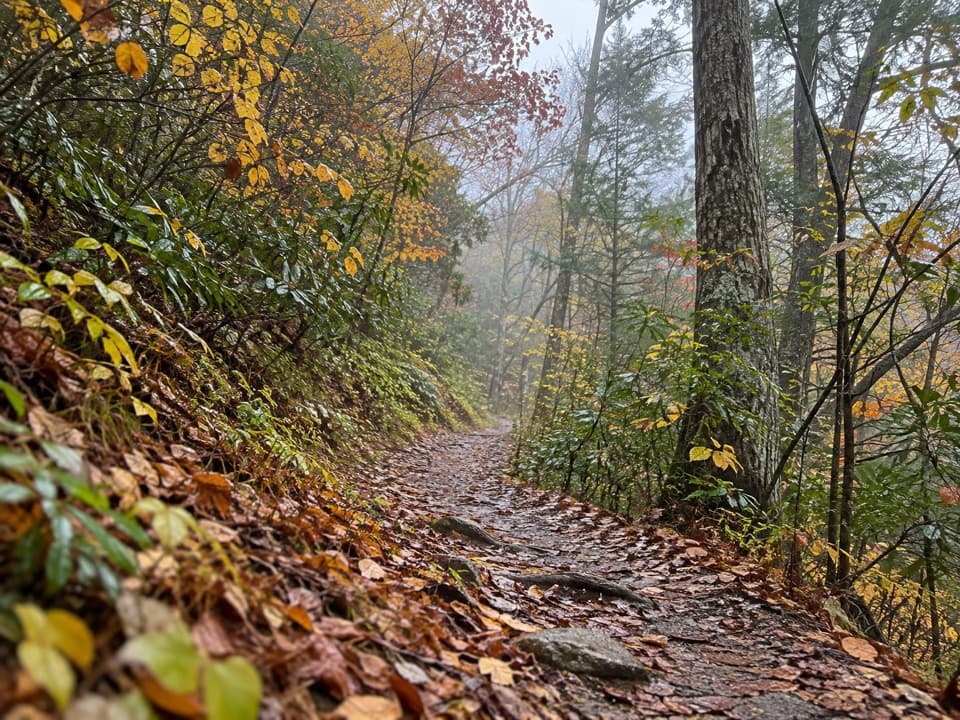
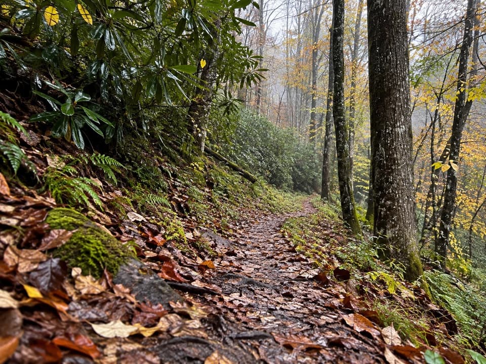
Easy cascades on an old railroad grade through rhododendron.

Type
Sight
Nearest trail
0.5 mi
Audio stories
2 nearby
  • Trailhead
  • Parking
  • Scenic viewpoint

Hear the audio tour

Middle Prong and Lynn Camp Prong Cascades

Overview

About Lynn Camp Prong Cascades

Why stop

  • Several cascades keep the short walk interesting before the main drop.

Heads up

  • You have to hike in to reach the water; it is not a roadside stop.

Map

Where it is

Loading the Great Smoky Mountains map
Full map
SightLynn Camp Prong Cascades35.61608, -83.66147
Keep this map with you offline in the Parkwolf app

Plan your stop

Before you go

7 active Great Smoky Mountains alerts

  • ClosureHurricane Helene backcountry trail closures and hazardsHurricane Helene damage has closed backcountry trails and left hazardous crossings; avoid closed routes and heed trail-specific restrictions.Official details
  • CautionBear-related trail, road, shelter, and campsite restrictionsBear activity has closed trails, a shelter, and campsites and restricted pedestrian access on Cherokee Orchard Road; follow the vehicle restrictions and avoid closed areas.Official details
See all 7 alerts
A park ranger sits on a dash-mounted phone, talking, as Parkwolf’s Tour Guide plays “Army Cutworm Moths: A Grizzly Bear Buffet” on Grand Loop Road below Dunraven Pass in Yellowstone
Parkwolf Tour GuideThe highest, rockiest slopes around here are a summer buffet for grizzly bears.

Great Smoky Mountains Tour Guide

Your drive to Lynn Camp Prong Cascades, narrated.

Parkwolf is a GPS audio tour guide for Great Smoky Mountains National Park. As you drive, it chimes in with what’s ahead: hidden gems, upcoming stops, history, geology, and wildlife, right through your car’s speakers.

See the Great Smoky Mountains audio tour

Recorded for this place

Middle Prong and Lynn Camp Prong Cascades
0:00 / 0:29
“Middle Prong trailhead is coming up, a good choice for a short walk beside tumbling water.”

Plays as you drive up to Lynn Camp Prong Cascades in the Parkwolf Great Smoky Mountains Tour Guide.

More stories near here in the app

  • A Butterfly Through the Winter
  • Tremont and Spruce Flats Falls
  • Taking the Lawmakers to the Mountains
  • Under the Fern Fronds
  • 188 audio storiesacross Great Smoky Mountains’s roads, triggered by GPS as you drive
  • Wildlife heatmapsfor Black Bear, Elk, Bald Eagle, and 13 more
  • Works offlinemaps, 197 trails, 100 places, and audio download before you lose signal
  • CarPlay readysimple controls built for the drive
★★★★★
“Fantastic app with many points of information… It’s great to just turn on while you’re driving and it gives you an audio tour of the national Park. We love it!!!!”
JMJamesApp Store review
Download Parkwolf on the App StoreGet Parkwolf on Google Play

4.7 from 8,600+ ratings

Guide

More about Lynn Camp Prong Cascades

The short waterfall walkLynn Camp Prong Cascades is a named waterfall stop on Middle Prong Trail in Tremont, where the…

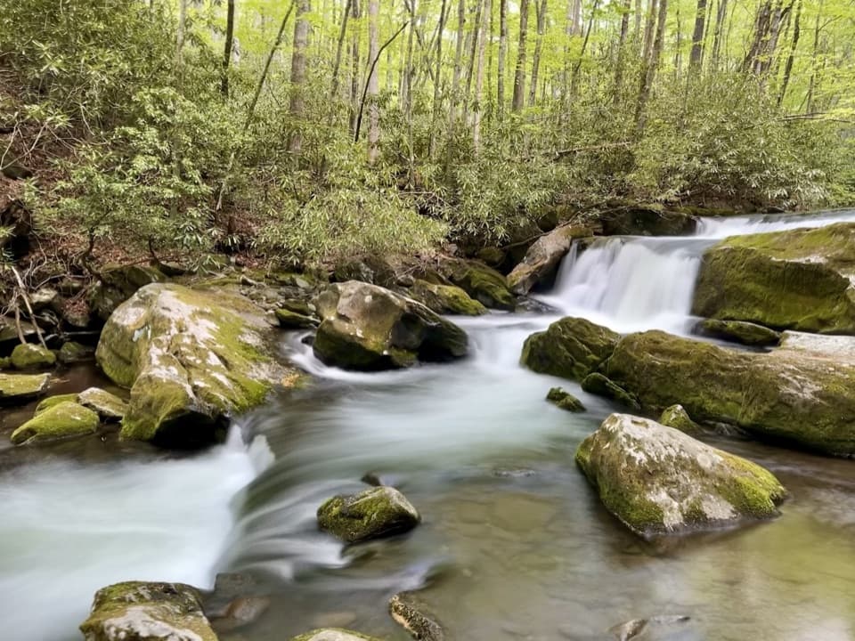
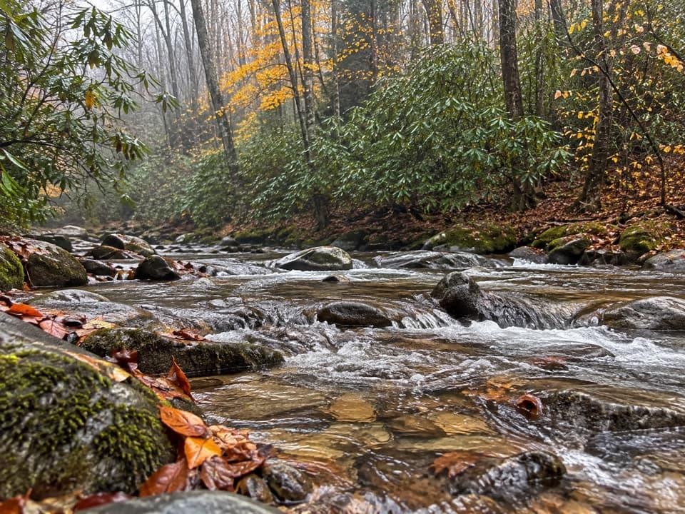
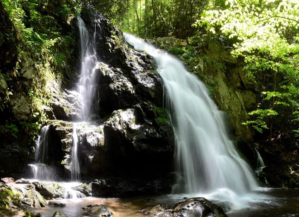
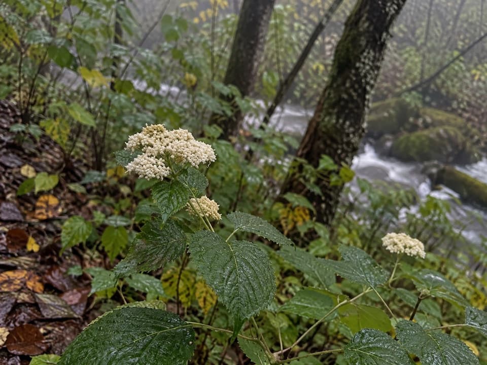
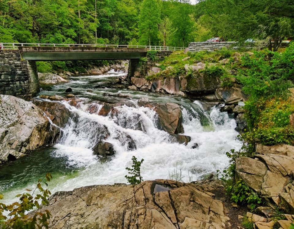
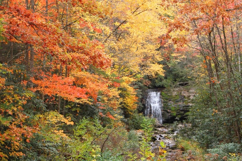
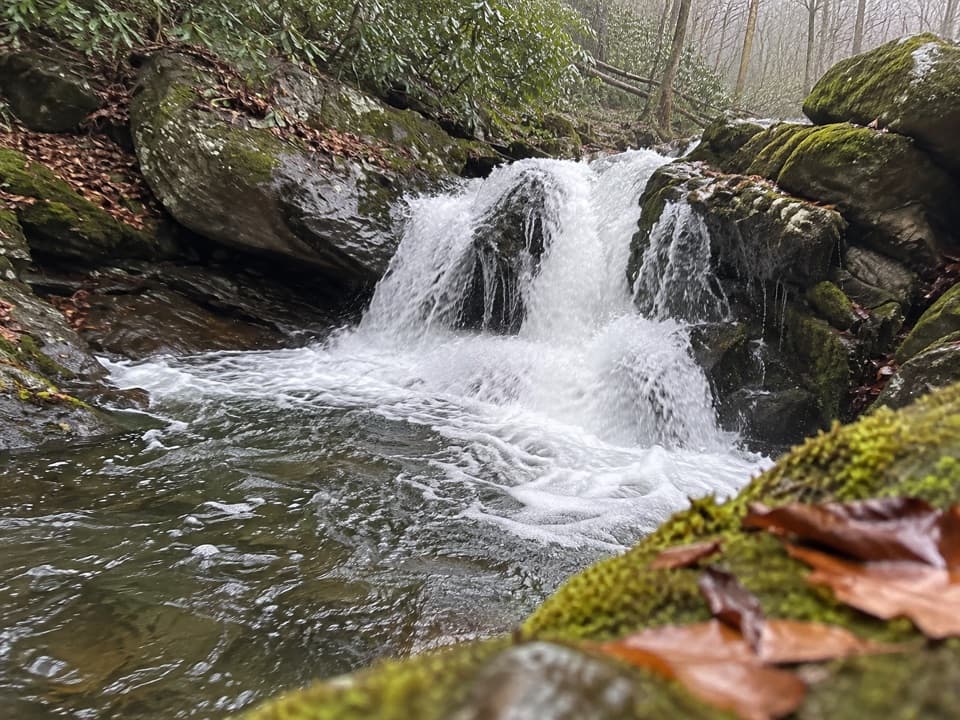
Lynn Camp Prong Cascades is a named waterfall stop on Middle Prong Trail in Tremont, where the stream tumbles over rocks beside the path. The walk from Middle Prong Trailhead is 1.4 miles round trip, a good choice when you want a short outing with rushing water without going farther up the trail. Smaller cascades show up along the approach, so the water is part of the walk, not just the destination.

An easy grade with a few rough spotsThe trail is mostly wide, flat and gently uphill through rhododendron and cliff-like rock…

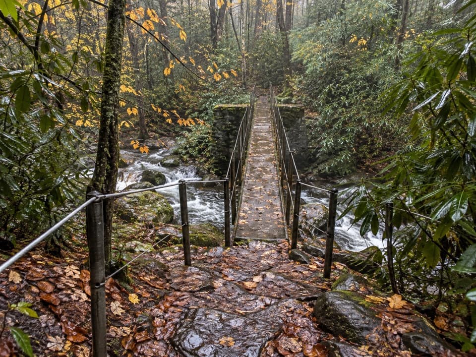
The trail is mostly wide, flat and gently uphill through rhododendron and cliff-like rock outcrops. Washouts narrow some sections, so the width and footing vary. Leave time to stop where the stream comes close to the path.

Get there preparedMiddle Prong Trailhead is at the end of Upper Tremont Road, which is unpaved but maintained.

Middle Prong Trailhead is at the end of Upper Tremont Road, which is unpaved but maintained. A parking tag is required if you park longer than 15 minutes, and pets aren't allowed on this trail. The nearest listed restroom is at Great Smokies Welcome Center in Townsend.

The first 1.3 miles of Middle Prong Trail has an accessibility assessment; free GRIT Freedom Chairs are available first-come, first-served for that section. The cascades approach falls within it. Check the assessment details and chair availability before you go.

A former railroad routeMiddle Prong Trail follows an old logging railroad bed.

Middle Prong Trail follows an old logging railroad bed. The broad, gradual tread is part of the experience: you're walking the old route through the forest as well as following the water.

Keep some stream in the frameThis is a photo stop, and the water winding around the boulders is part of what makes it…

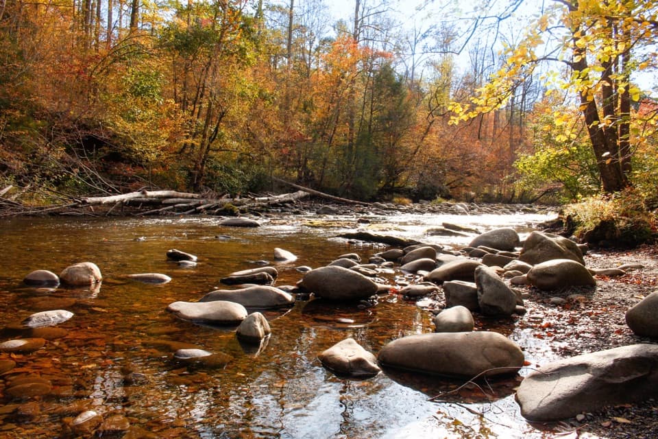
This is a photo stop, and the water winding around the boulders is part of what makes it distinct. A wider view that includes some stream and rock around the main cascade shows that setting better than a tight crop of the drop alone.

Wildlife

Wildlife in Great Smoky Mountains

All Great Smoky Mountains wildlife maps

Sighting maps show where each species has been reported across Great Smoky Mountains. Wildlife moves, so no sighting is guaranteed.

Keep exploring

Near Lynn Camp Prong Cascades

See it all on the map

Trails nearby

More stops nearby

Parkwolf’s Great Smoky Mountains ranking

Top sights in Great Smoky Mountains

All 100 places
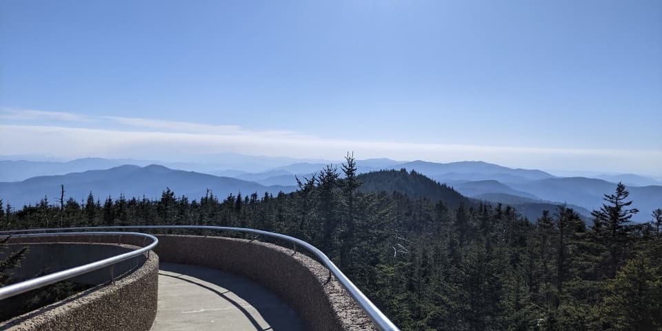
  1. 1Kuwohi Observation TowerSight
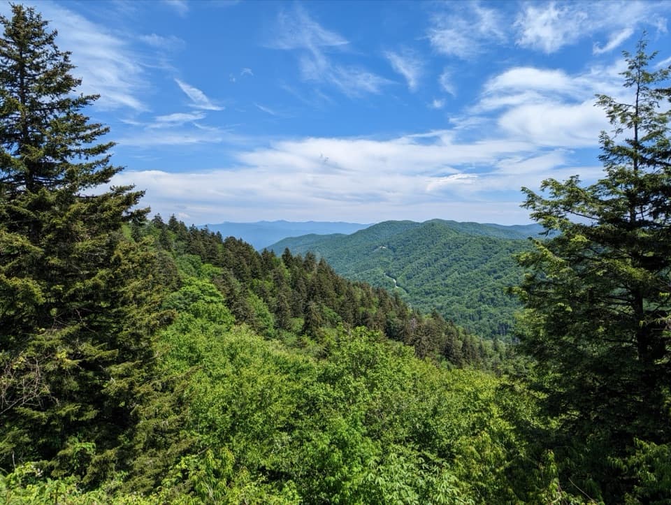
  2. 2Newfound Gap OverlookSight
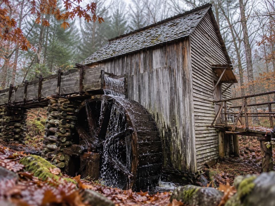
  3. 3Cable Mill Historic AreaSight
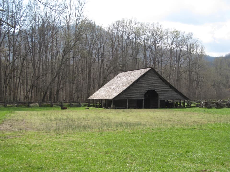
  4. 4Mountain Farm MuseumSight
  5. 5John Oliver CabinSight
  6. 6Mingus MillSight

Take Parkwolf to Great Smoky Mountains.

The audio tour guide for the drive, plus offline maps, trails, and wildlife heatmaps for when the signal drops.

4.7 from 8,600+ ratings

Download Parkwolf on the App StoreGet Parkwolf on Google Play