Moderate

Spruce Flats Falls Trail

Short, rooty climb to a four-tier cascade in the Tremont area
Spruce Flats Falls Trail, Great Smoky Mountains National Park
Distance1.8 mi
Typical time1.5 hr
DifficultyModerate
PetsNot allowed

Overview

A quick but punchy outing to one of the park’s prettiest small waterfalls. Expect about 1.8 miles round trip with roughly 400–413 feet of gain. Distances vary a bit depending on where you start within the Tremont campus and how much you poke around the base, but plan on a stout, rooty climb out and a steeper, rugged descent to the falls. This unofficial trail isn’t on the park’s standard map, yet it’s well trodden and popular.

Route and Terrain

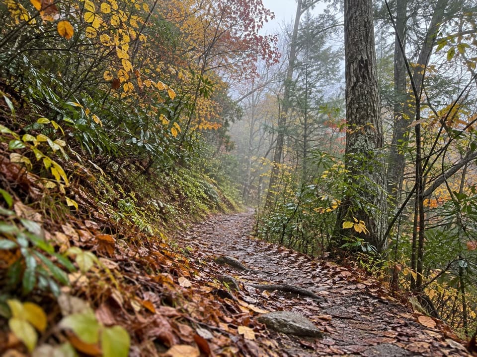
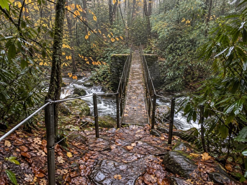
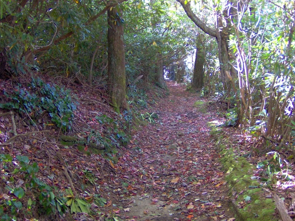
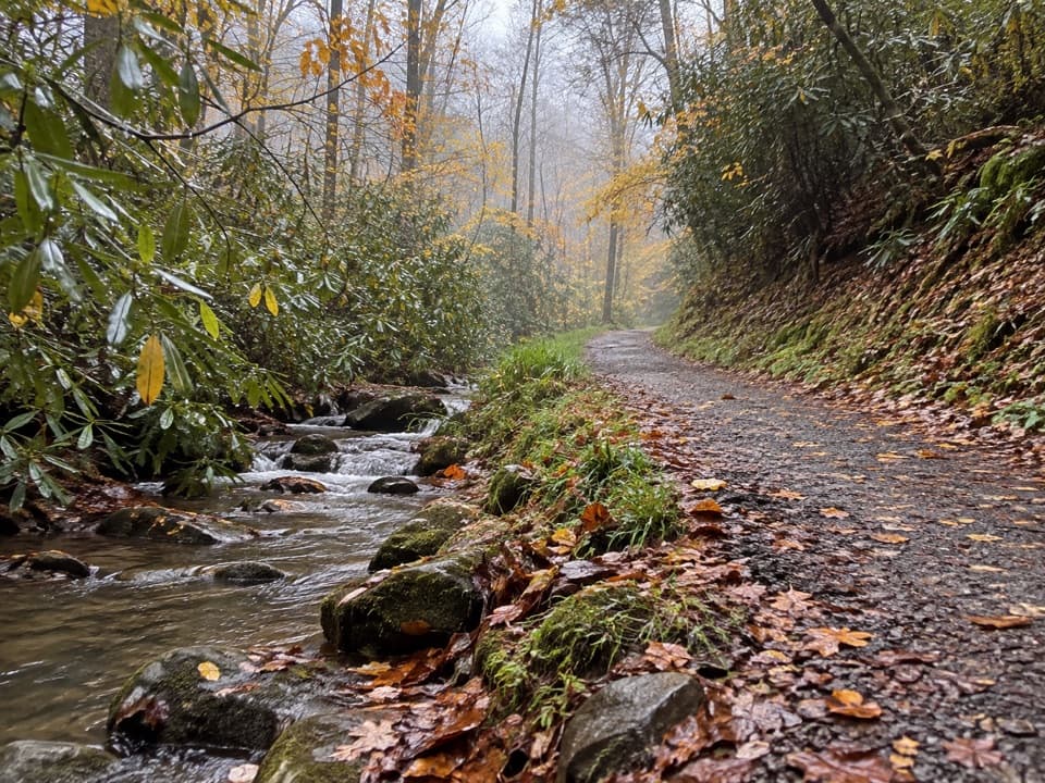
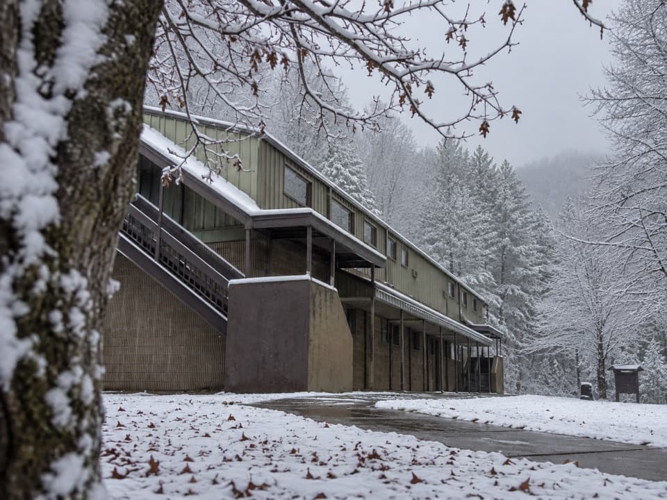
Start from the Great Smoky Mountains Institute at Tremont parking area and walk up the gravel road toward the housing/dorms. You’ll briefly pass signed junctions; turn right onto the Buckeye route toward the falls. The path climbs to its high point just under a half-mile, then drops more steeply and rougher underfoot toward the creek. Expect rocks, roots, a few narrow side slopes, occasional carved log steps, and a small stream crossing before the final short, steeper pitch into the cove.

The Falls Experience

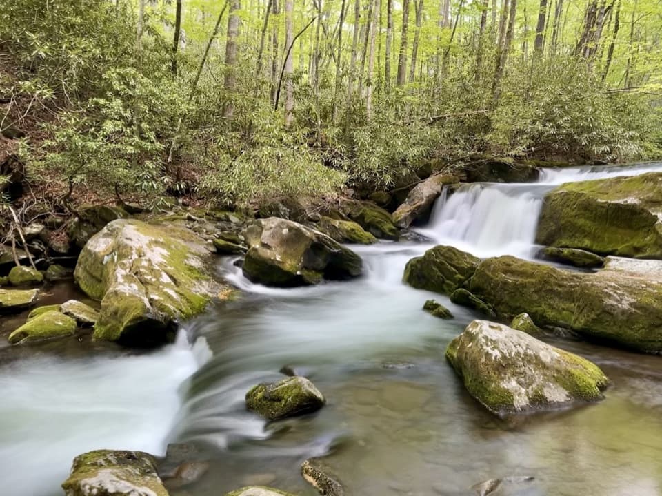
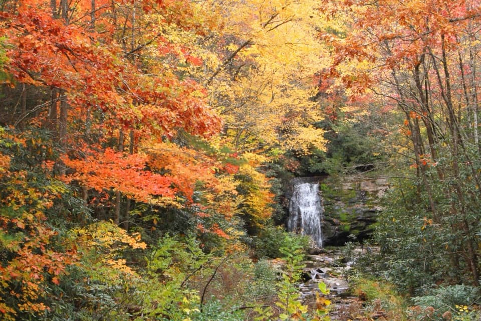
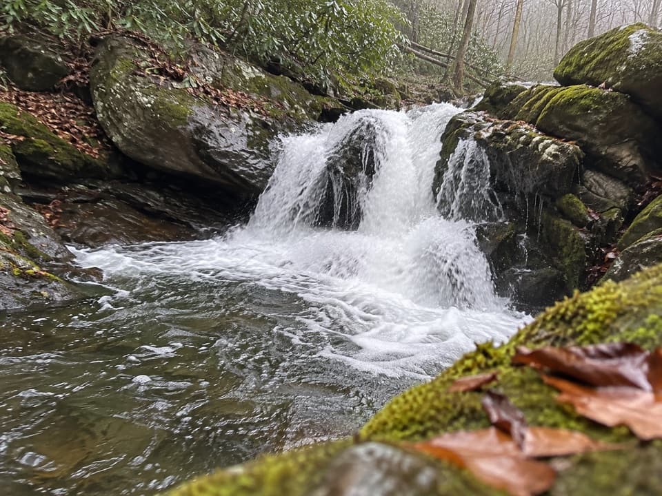
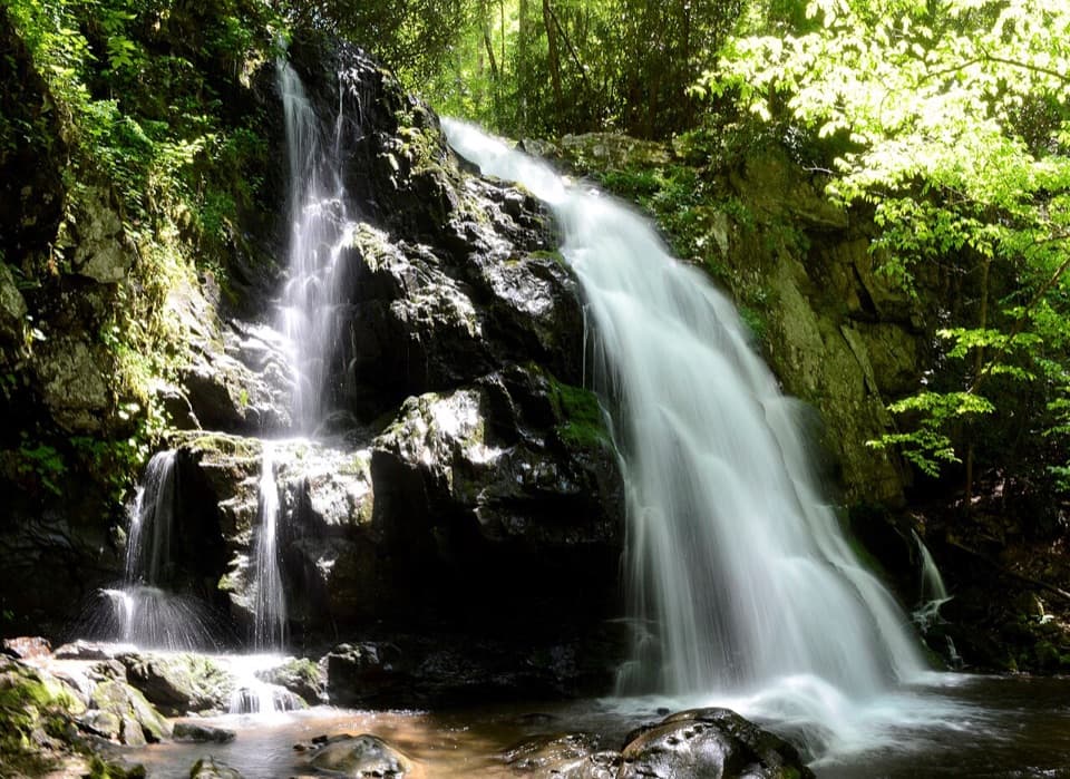
Spruce Flats Falls tumbles in four photogenic tiers, with the main drop around 25–30 feet, pooling at the base. When flows are moderate, the pool area is a great spot to linger, but the rocks can be slick even when dry. Careful scrambling can improve angles for photos; resist the urge to shortcut anywhere near swift water.

Difficulty and Who Will Like It

On paper it’s short; in reality it hikes like a solid moderate thanks to the uneven tread and steeper sections. If you like a quick, high‑reward waterfall without committing to a long day, this is a great pick. If you prefer smoother paths or have unstable ankles, consider something gentler. For more waterfall time on easier footing nearby, the Middle Prong/Lynn Camp Prong area offers a longer but mellower day; for a more curated path and the novelty of walking behind a waterfall, Grotto Falls is another good comparison.

Best Time to Hike

Go early for softer light in the cove and fewer people. Weekdays are quieter than weekends. After rain, the falls are fuller—but the trail and rocks get much slicker, so take it slow. Shoulder seasons and cool summer mornings are comfortable; midday heat makes the climbs feel spicier.

Practical Tips

  • Wear real hiking footwear; trekking poles help on the steeper, rooty bits and the final descent/ascent.
  • This path is not on the standard park map; follow campus signs to the gravel road start and local signage to the falls.
  • A day-use parking tag is required at the lot. Facilities at Tremont may be open during the day, but there are no services on the trail.
  • Do not attempt to cross Middle Prong to reach a road—currents are swift and rocks are extremely slick.

Pros

  • High reward-to-effort waterfall with multiple tiers and photo angles
  • Unofficial but well-worn path that feels a bit off the beaten path near Tremont

Cons

  • Slick, rugged final descent that can feel tougher than the mileage suggests
  • Small parking area with required day-use tag can fill quickly on nice days

Parking

Park at the Great Smoky Mountains Institute at Tremont lot (after crossing the narrow bridge). A $5 daily parking tag is required; purchase at the nearby information center. From the lot, walk up the gravel road toward the dorms to pick up the signed route to the falls.

Caution

Rocks at the waterfall are very slick; expect steep, rooty sections. Stay on the trail and do not attempt to cross Middle Prong to shortcut—currents are swift and footing is treacherous. Watch for snakes along trail edges.

The Parkwolf tour guide sitting on a phone mounted in a car

Parkwolf Tour Guide

Like a tour guide in your car.

Bring Great Smoky Mountains trail research into the car, with offline maps and stories that play as you drive.Download Parkwolf on the App Store