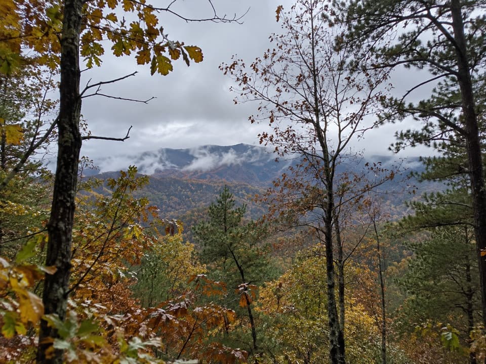
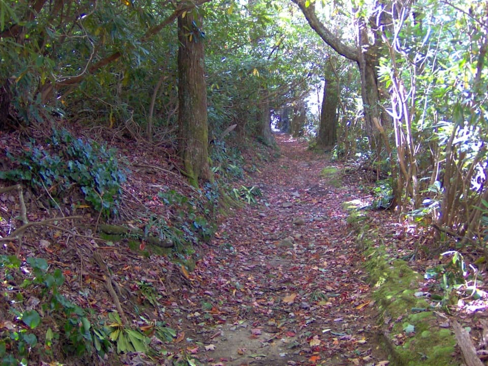
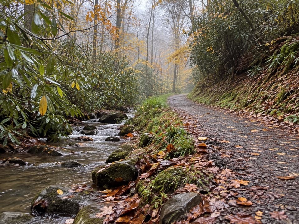
The first 2.4 miles climb steadily through pine-oak woods and cove hardwoods. Occasional mountain views start a little beyond the first mile. At the pass where Mill Ridge meets Lumber Ridge, a faint social path crosses the main trail; continue straight. The high point is around 2,700 feet, then the grade eases as the trail descends above the headwaters of Bloody Branch.
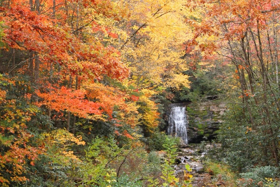
Buckhorn Gap, just over four miles from the start, is a saddle and a three-way junction with Meigs Creek and Meigs Mountain trails. It is the natural turnaround for this hike. Continuing on either branch makes a different route, so plan a shuttle before choosing a point-to-point walk.