Parking
Use the Mingus Mill parking area; the trail begins at its far end. Restrooms and drink vending are at Oconaluftee Visitor Center, about half a mile away.
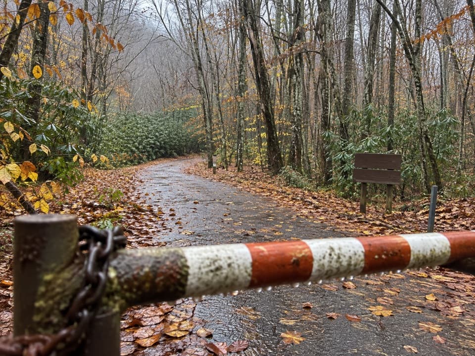
Great Smoky Mountains National Park, TN · NC
An old creek roadbed ends in a steep climb to Deeplow Gap.
Overview
Map & elevation
Plan your hike

The highest, rockiest slopes around here are a summer buffet for grizzly bears.
Great Smoky Mountains Tour Guide
Parkwolf is a GPS audio tour guide for Great Smoky Mountains National Park. As you drive, it chimes in with what’s ahead: hidden gems, upcoming stops, history, geology, and wildlife, right through your car’s speakers.
See the Great Smoky Mountains audio tourRecorded for this trailhead
Mingus Mill“You're approaching Mingus Mill, an eighteen eighty-six gristmill beside Mingus Creek. This is a good brief stop if you like seeing how old machinery fitted into everyday life.”
Plays as you drive up to this trailhead in the Parkwolf Great Smoky Mountains Tour Guide.
More stories near here in the app
“Fantastic app with many points of information… It’s great to just turn on while you’re driving and it gives you an audio tour of the national Park. We love it!!!!”


Trail guide
Mingus Creek Trail is a 5.8-mile out-and-back from the Mingus Mill parking area to Deeplow Gap, about 2.9 miles each way with roughly 1,500 feet of climbing. Allow about four hours. The route starts on an old creekside roadbed, narrows into rockier walking with several stream crossings, then climbs by switchbacks to a wooded gap. Choose it for a long, varied creek walk and the steady climb; the destination is a modest mountain view, not a dramatic summit.
The first mile follows an easier roadbed built by the Civilian Conservation Corps in the 1930s. Near the start, look for the creek diversion, mossy sluice and raised millrace associated with Mingus Mill. The path gets narrower and rougher farther in, with rhododendron and new-growth forest along the way.
After about a mile, two small footbridges lead toward a junction. The branch to the right goes to the Mingus Creek cemetery; stay left along Madcap Branch for Deeplow Gap. Keep the cemetery spur out of this mapped route. Past the fork, the main trail crosses the creek several times without bridges. After rain, water and slick rocks can make those crossings more demanding, so turn around if one is not safe to cross.
The last roughly three-quarters of a mile climbs steeply on switchbacks to Deeplow Gap. The surrounding mountain views are limited by trees and are better before leaf-out. The trail continues beyond the gap toward Newton Bald, but that longer extension adds about 2.8 miles each way and substantial climbing; it is not included in the 5.8-mile route here.
Begin at the far end of the Mingus Mill parking area and return the same way. Public restrooms and drink vending are available at Oconaluftee Visitor Center, about half a mile away, rather than at the trailhead. Dogs are not allowed on this trail; the park permits leashed pets only on two other trails.
Wildlife
 1,569 sightingsBlack BearMost seen around 7 PMSighting map
 900 sightingsElkMost seen around 7 AMSighting map
 13 sightingsBald EagleMost seen around 9 AMSighting map
 142 sightingsTimber RattlesnakeMost seen around 6 PMSighting map
 26 sightingsBobcatMost seen around 8 PMSighting map
 42 sightingsRiver OtterMost seen around 7 AMSighting map
Sighting maps show where each species has been reported across Great Smoky Mountains. Wildlife moves, so no sighting is guaranteed.
Keep exploring
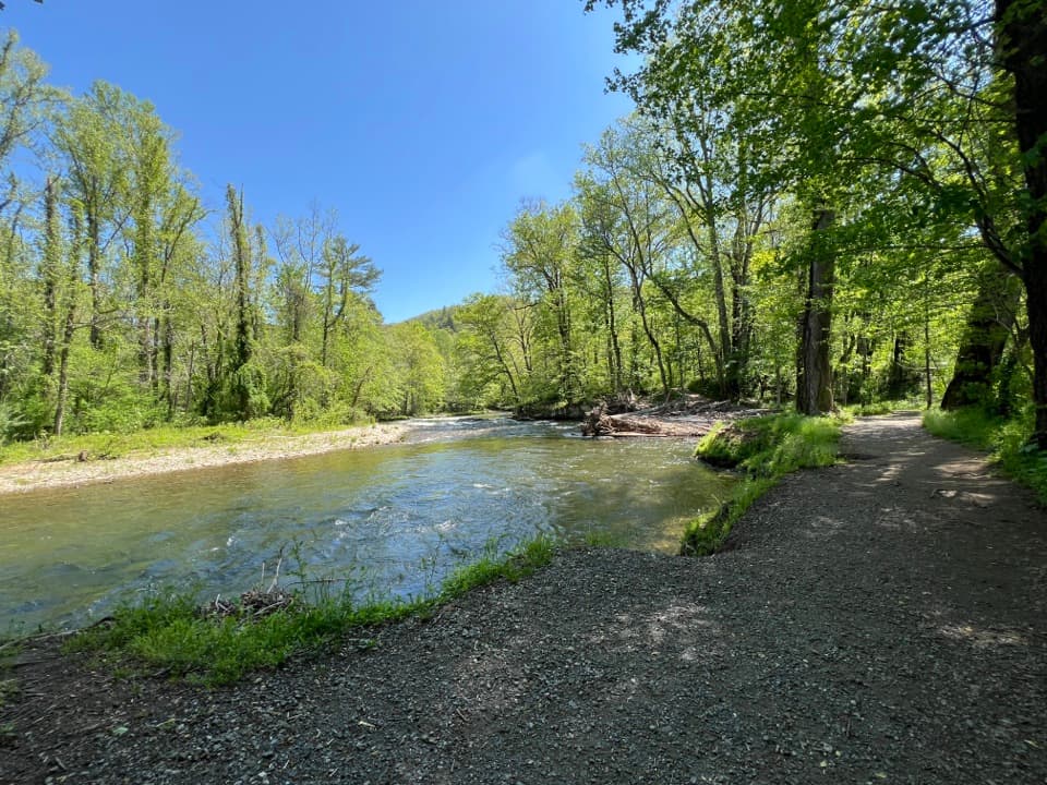 EasyOconaluftee River Trail3.3 mi · 1.5 hr · 0.6 mi awayA gentle river stroll starts beside an open-air farm museum.
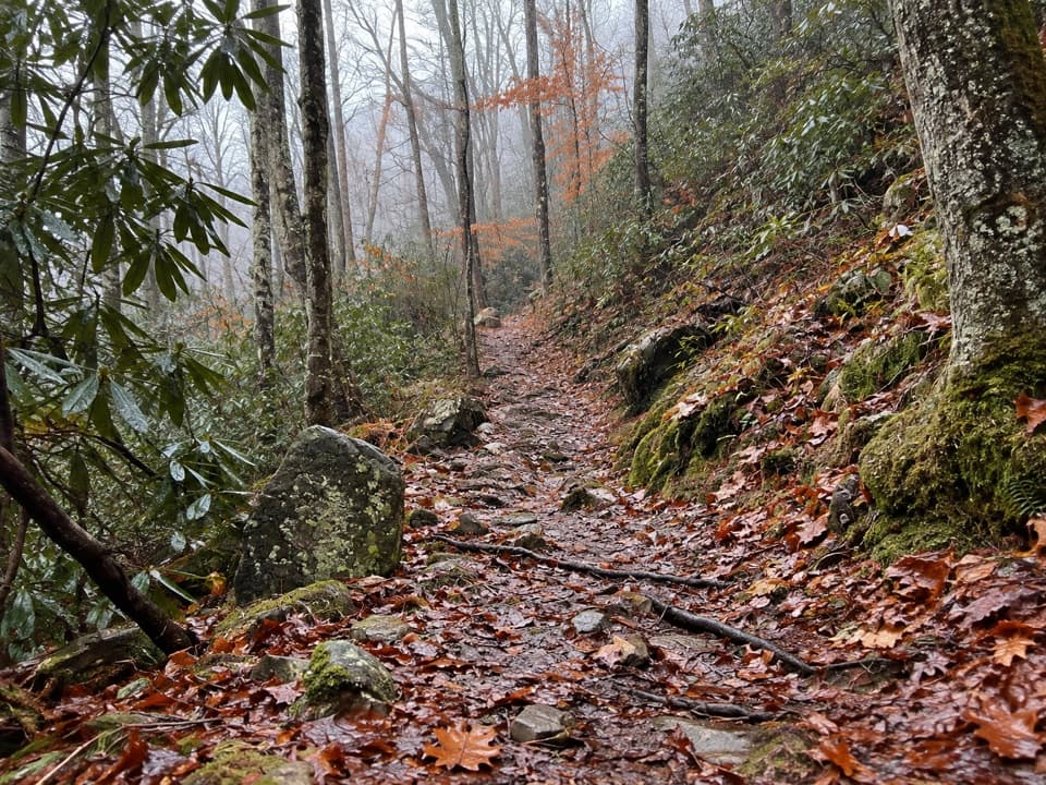 ModerateTow String Horse Trail2.2 mi · 1.3 hr · 1.7 mi awayA quiet woodland link between Tow String Horse Camp and Bradley Fork.
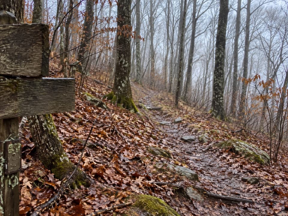 ChallengingNewton Bald Trail11 mi · 6.5 hr · 2.2 mi awayA steady forest climb to a wooded bald with few views.
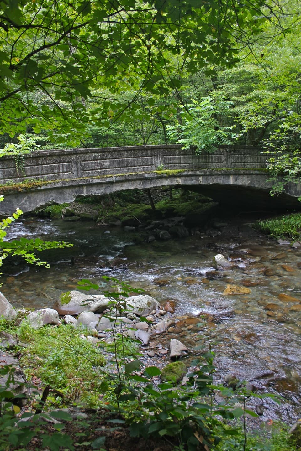 ModerateSmokemont Loop Trail6.1 mi · 4 hr · 2.4 mi awayCreekside approach, steep ridge climb, and Smokemont history.
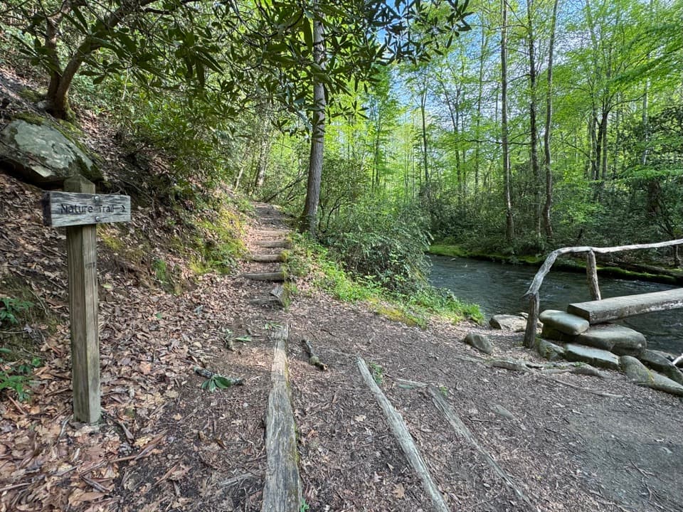 ModerateSmokemont Nature Trail0.6 mi · 45 min · 2.6 mi awayA short campground loop with creek crossings and a ridge view.
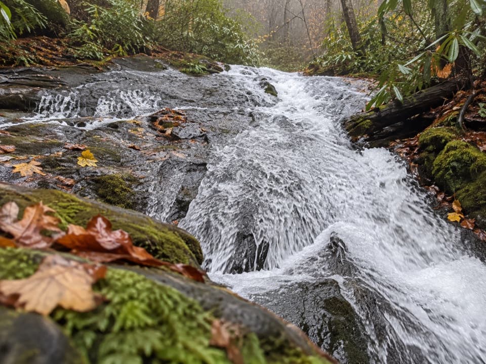 ModerateChasteen Creek Trail to Cascade3.6 mi · 2.5 hr · 2.9 mi awayA streamside walk ends at a modest cascade over smooth bedrock.
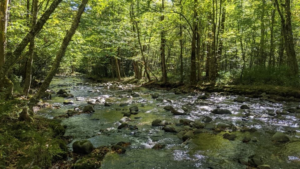 ChallengingBradley Fork Trail14.6 mi · 9.5 hr · 2.9 mi awayA long creekside walk ends in a rocky climb to Hughes Ridge.
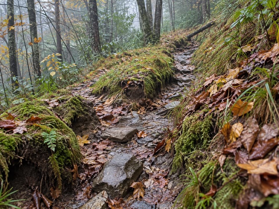 ChallengingDry Sluice Gap Trail16.4 mi · 10.5 hr · 3 mi awayA long Smokemont climb to the Appalachian Trail, then back.
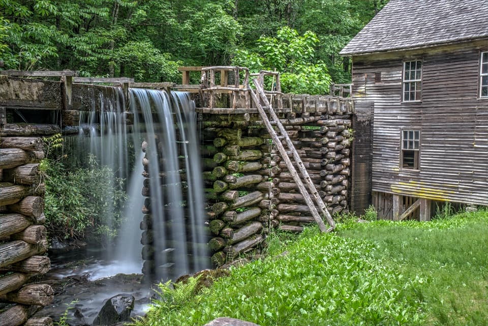 Sight · At the trailheadMingus MillAn 1886 turbine mill with its flume beside Mingus Creek.
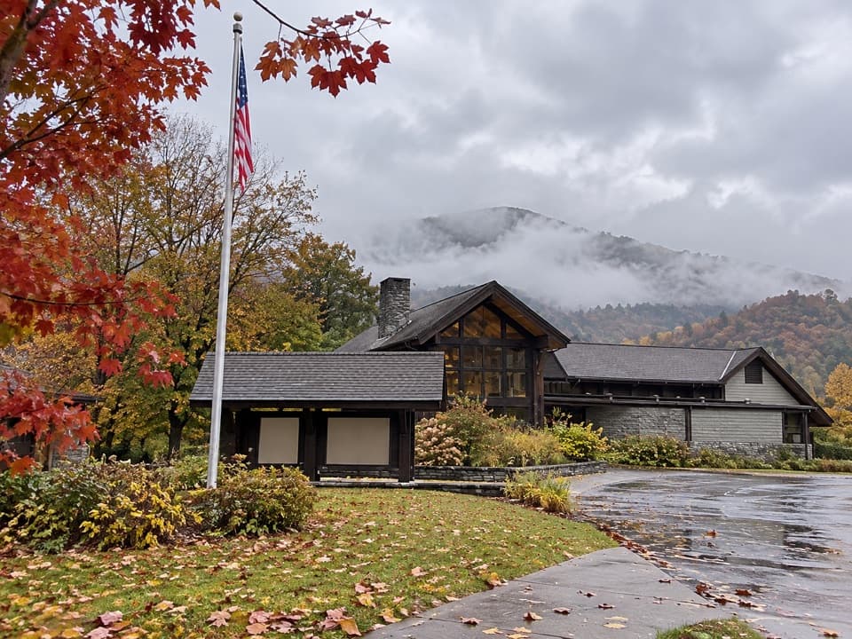 Visitor center · 0.6 mi awayOconaluftee Visitor CenterHistory indoors, elk country and an easy river walk outside.
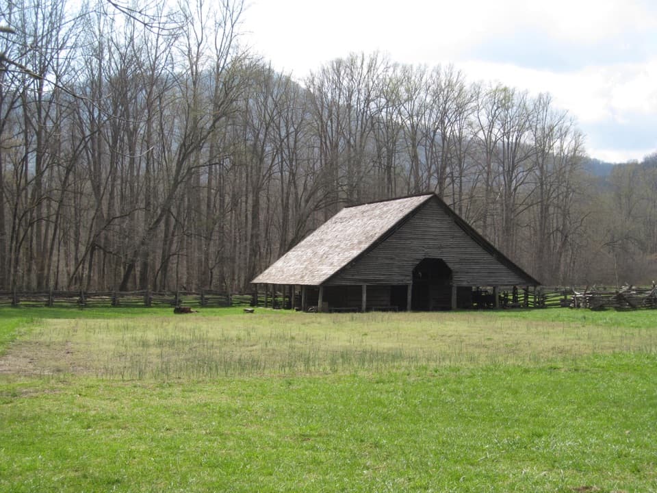 Sight · 0.6 mi awayMountain Farm MuseumA short walk through farm buildings gathered from across the Smokies.
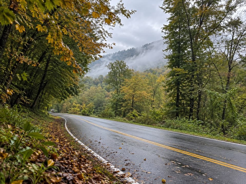 Campground · 1.5 mi awayTow String Horse CampThree wooded sites for campers bringing their own horses.
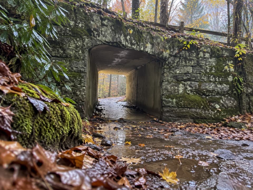 Sight · 2.1 mi awaySmokemont Riding StablesCross a river on horseback, or ride the Old Turnpike by wagon.
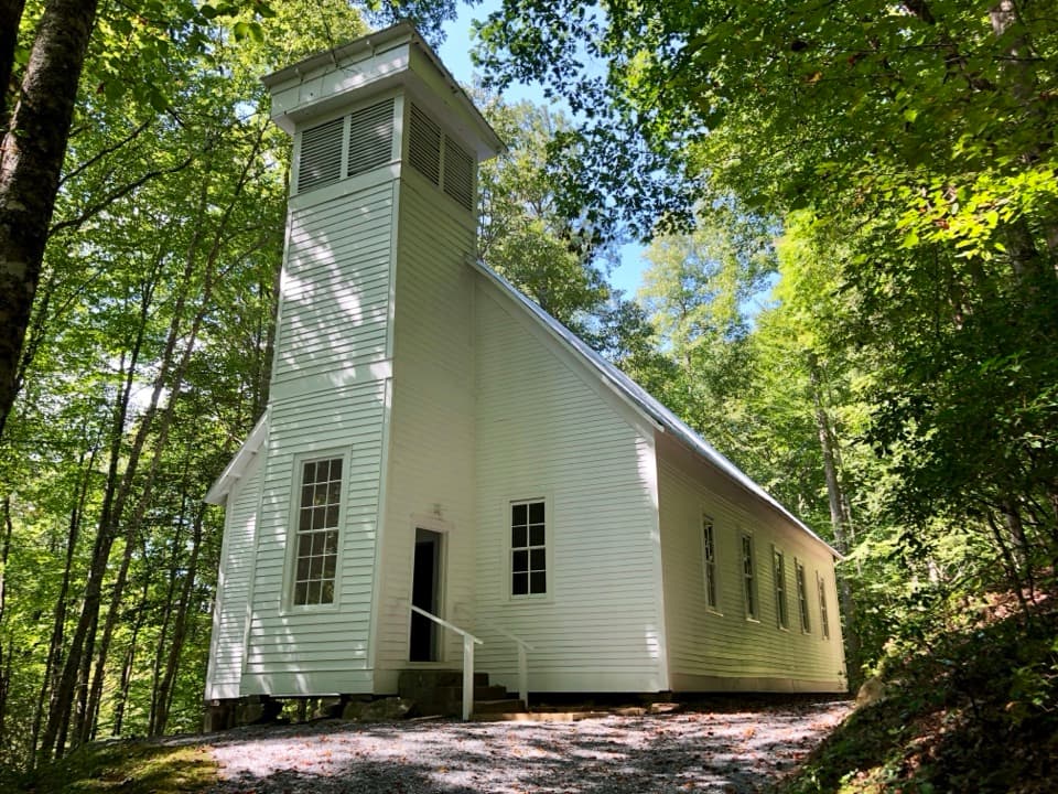 Sight · 2.3 mi awaySmokemont Baptist ChurchA hilltop church preserves Smokemont’s community story.
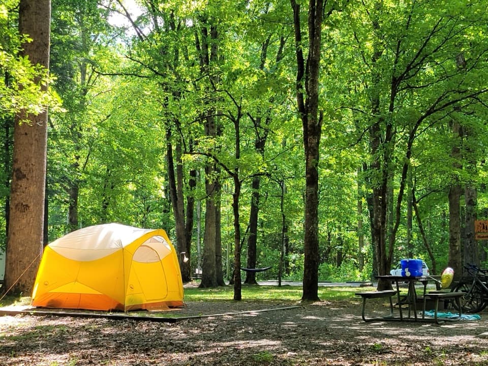 Campground · 2.7 mi awaySmokemont CampgroundA wooded Smokies campground on the site of a logging town.
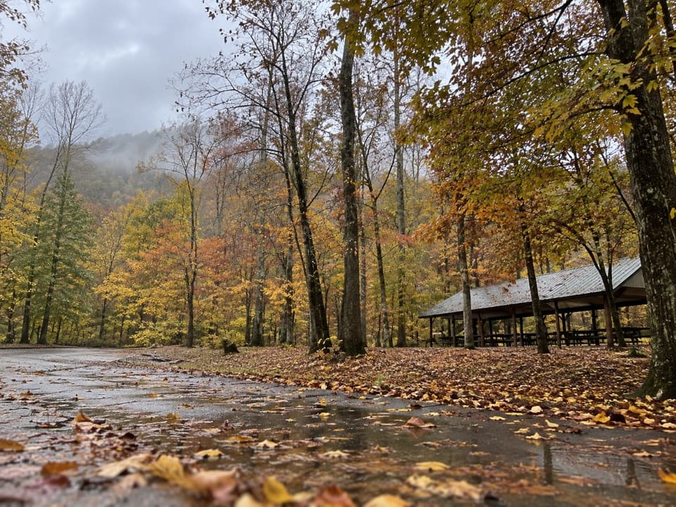 Picnic area · 3.6 mi awayCollins Creek Picnic AreaA shady picnic break with a short creekside walk
Parkwolf’s Great Smoky Mountains ranking

The audio tour guide for the drive, plus offline maps, trails, and wildlife heatmaps for when the signal drops.





