
Place · 0 mi away
Easy
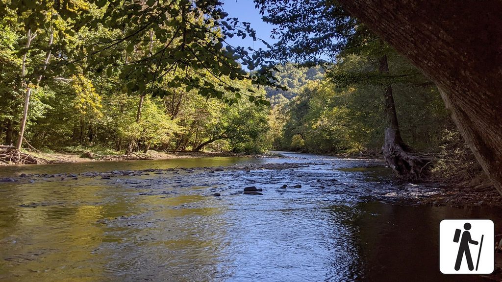
A laid‑back crowd‑pleaser, the Oconaluftee River Trail is an easy 3.0–3.2 mile round‑trip out‑and‑back that traces the Oconaluftee River from the visitor center to the park boundary at Cherokee, NC. It’s one of the only trails here that welcomes both leashed dogs and bicycles, which makes it a rarity in the Smokies. Expect a mostly flat, wide path with a gentle feel and frequent river views.
Surfaces are a mix of hard‑packed gravel, dirt, and some pavement near the visitor center. The grade is generally mild and friendly to strollers and wheelchairs, though there’s a short, noticeably steeper section (about an 8% grade) around 0.7 miles in. After rain, expect damp spots or light mud. Portions run close to US‑441, so you will hear road noise—this isn’t a deep‑backcountry escape.
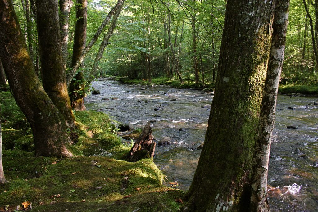
The route winds through low‑elevation hardwood forest—look for hemlock, red maple, yellow buckeye, beech, sycamore, dogwood—and keeps you close to the river’s riffles and pools. This corridor is prime elk habitat; dawn and dusk are your best bets for a sighting (give them plenty of space). Spring brings an excellent wildflower show with trillium, violets, jack‑in‑the‑pulpit, and phlox; fall swaps in asters and color in the canopy. If rocks catch your eye, you’re walking through the Smokies’ deep geologic story: ancient metamorphosed sandstones and slates of the Ocoee Supergroup, with pockets of very old granitic gneiss exposed in the eastern park.
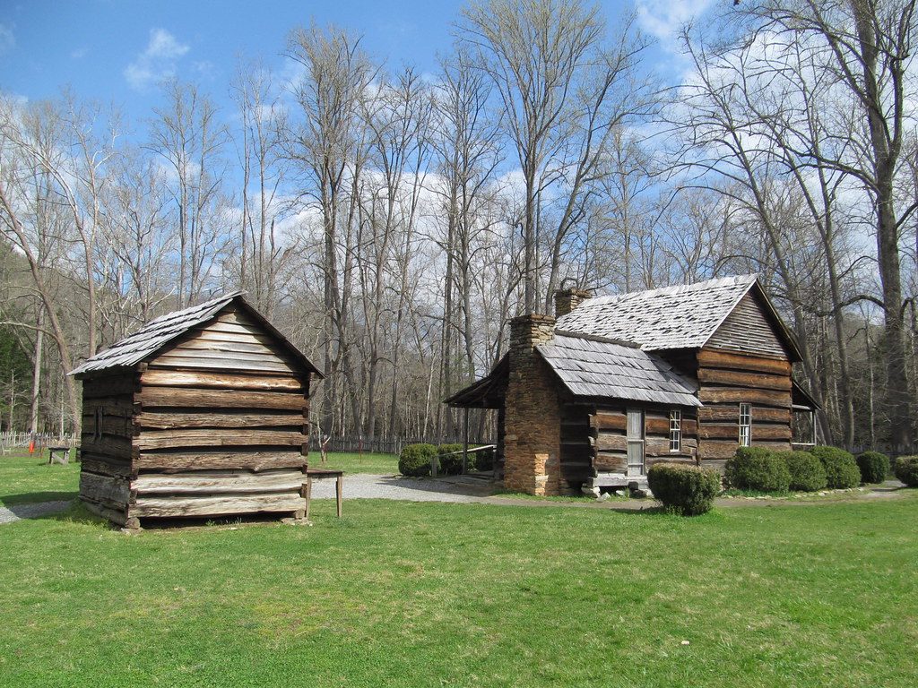
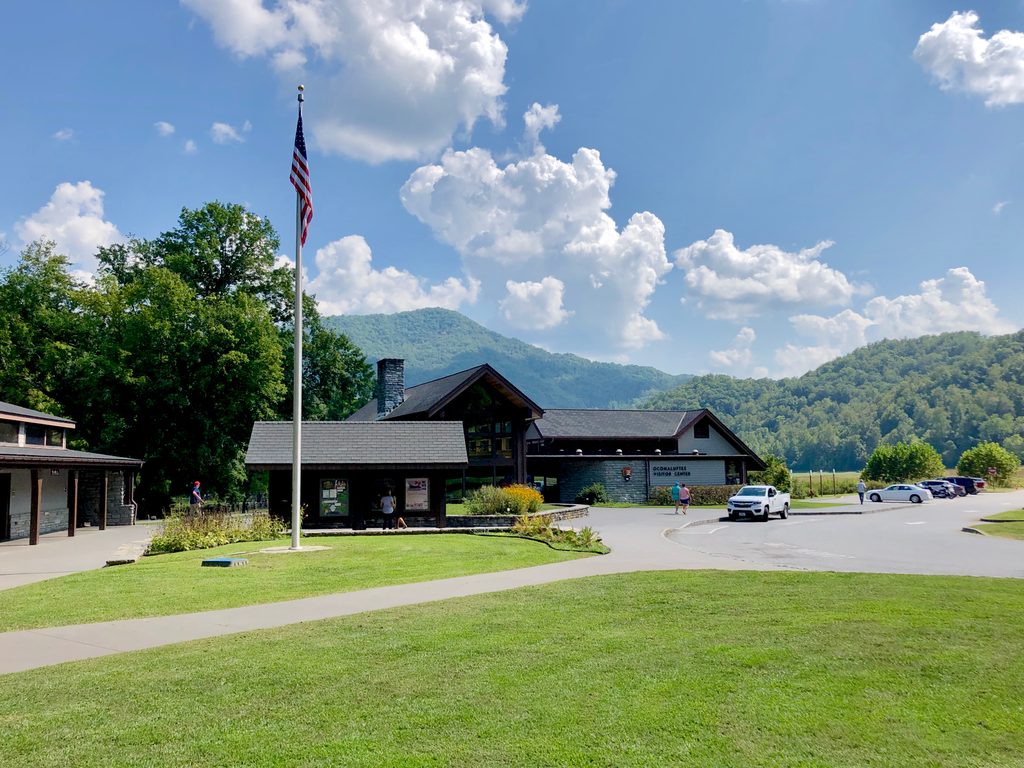
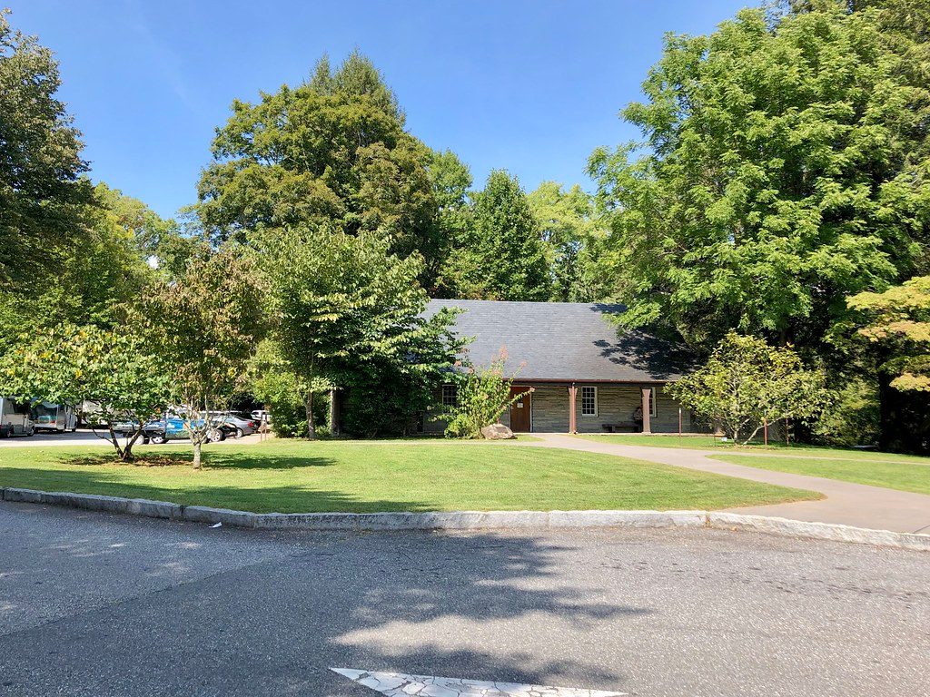
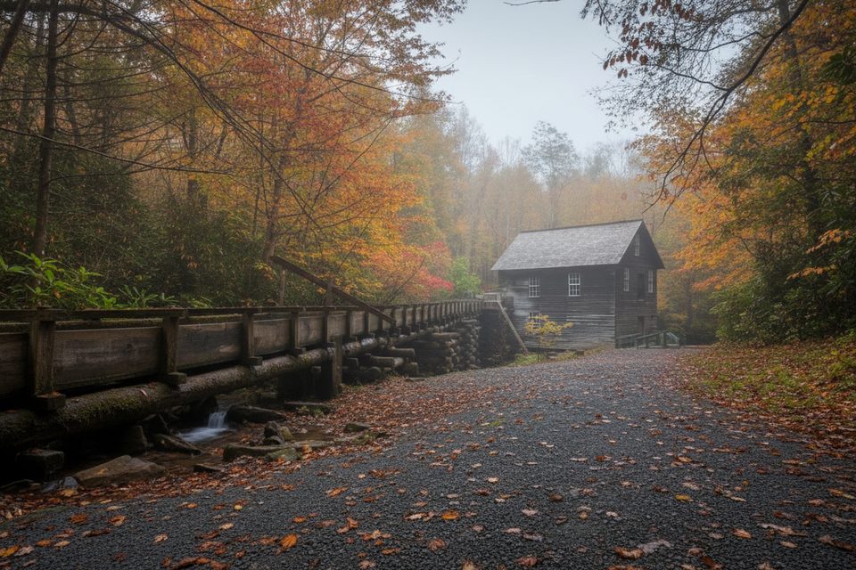
Park at the Oconaluftee Visitor Center near Cherokee (a parking tag is required if you’ll be stopped more than a few minutes). The trailhead sits behind the Mountain Farm Museum—an open‑air collection of historic log buildings you can wander before or after your walk.
Go early or late for easier parking, softer light on the river, and a better chance at elk. Late April is prime for wildflowers; fall delivers excellent foliage and crisp air. Weekdays are calmer than weekends.
Park at the Oconaluftee Visitor Center near Cherokee, NC (parking tag required). Walk past the Mountain Farm Museum to the riverside trailhead.
Elk use this corridor—keep a generous distance and never approach. Surfaces vary (gravel, dirt, pavement) and can be slick or muddy after rain. Expect a short 8% grade around 0.7 miles. Pets must be leashed; share the path with cyclists. Some nearby signs can confuse pet access—stay on the signed Oconaluftee River Trail.
Place · 0 mi away
Place · 0 mi away
Place · 0.1 mi away
Place · 0.1 mi away
Moderate · 0.5 mi away
Moderate · 3 mi away
Easy · 3.1 mi away
Moderate · 3.5 mi away

Parkwolf Tour Guide
