Lonesome Pine Overlook Trail in Great Smoky Mountains National Park

Great Smoky Mountains National Park, TN · NC

Lonesome Pine Overlook Trail

A steep ridge climb to a rocky overlook above Bryson City.

Length
6.8mi
Time
4hr
Elev. change
2,175ft
Difficulty
Challenging
  • No dogs
  • High point 4,075 ft
  • #66 of 197 in Great Smoky Mountains

Hear the audio tour

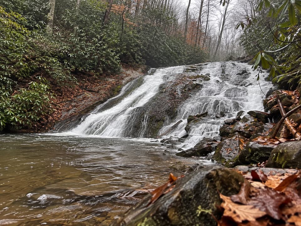
Deep Creek Waterfalls and Picnic Area

Overview

About Lonesome Pine Overlook Trail

Why go

  • Rocky ridge views over Bryson City and several mountain ranges
  • A small cascade breaks up the long climb

Heads up

  • Sustained uphill climbing on the way out
  • Narrow, exposed sections near the overlook
Lonesome Pine Overlook is an out-and-back from Deep Creek along the lower Noland Divide Trail to a rocky knob on Beaugard Ridge. Figure 6.8 miles round trip, about 2,300 feet of climbing, and 3 to 4 hours, depending on how long you stay at the top. This is a hard half-day hike: a long wooded climb that ends on a narrow ridge with views toward Bryson City and the Southern Smokies. Choose it for the climb and the overlook; the shorter Deep Creek waterfall walks are better for an easy stroll.
Parkwolf’s verdictIs this the hike for you?

Map & elevation

The route

Loading the Great Smoky Mountains map
Full map
Elevation1,900–4,075 ft
TrailheadNoland Divide Trailhead (Deep Creek)35.45983, -83.43851
Keep this map with you offline in the Parkwolf app

Plan your hike

Before you go

Parking

Use the Noland Divide Trailhead access on W Deep Creek Road, opposite Deep Creek Campground. The park map marks a horse-trailer parking area at the access, but hiker-space capacity was not established. Display a Smokies parking tag when parked for more than 15 minutes.

Safety

Expect about 2,300 feet of climbing. The upper ridge has narrow tread beside steep drop-offs, and there is no potable water along the route.

7 active Great Smoky Mountains alerts

  • ClosureHurricane Helene backcountry trail closures and hazardsHurricane Helene damage has closed backcountry trails and left hazardous crossings; avoid closed routes and heed trail-specific restrictions.Official details
  • CautionBear-related trail, road, shelter, and campsite restrictionsBear activity has closed trails, a shelter, and campsites and restricted pedestrian access on Cherokee Orchard Road; follow the vehicle restrictions and avoid closed areas.Official details
See all 7 alerts
A park ranger sits on a dash-mounted phone, talking, as Parkwolf’s Tour Guide plays “Army Cutworm Moths: A Grizzly Bear Buffet” on Grand Loop Road below Dunraven Pass in Yellowstone
Parkwolf Tour GuideThe highest, rockiest slopes around here are a summer buffet for grizzly bears.

Great Smoky Mountains Tour Guide

Your drive to Lonesome Pine Overlook Trail, narrated.

Parkwolf is a GPS audio tour guide for Great Smoky Mountains National Park. As you drive, it chimes in with what’s ahead: hidden gems, upcoming stops, history, geology, and wildlife, right through your car’s speakers.

See the Great Smoky Mountains audio tour

Recorded for this trailhead

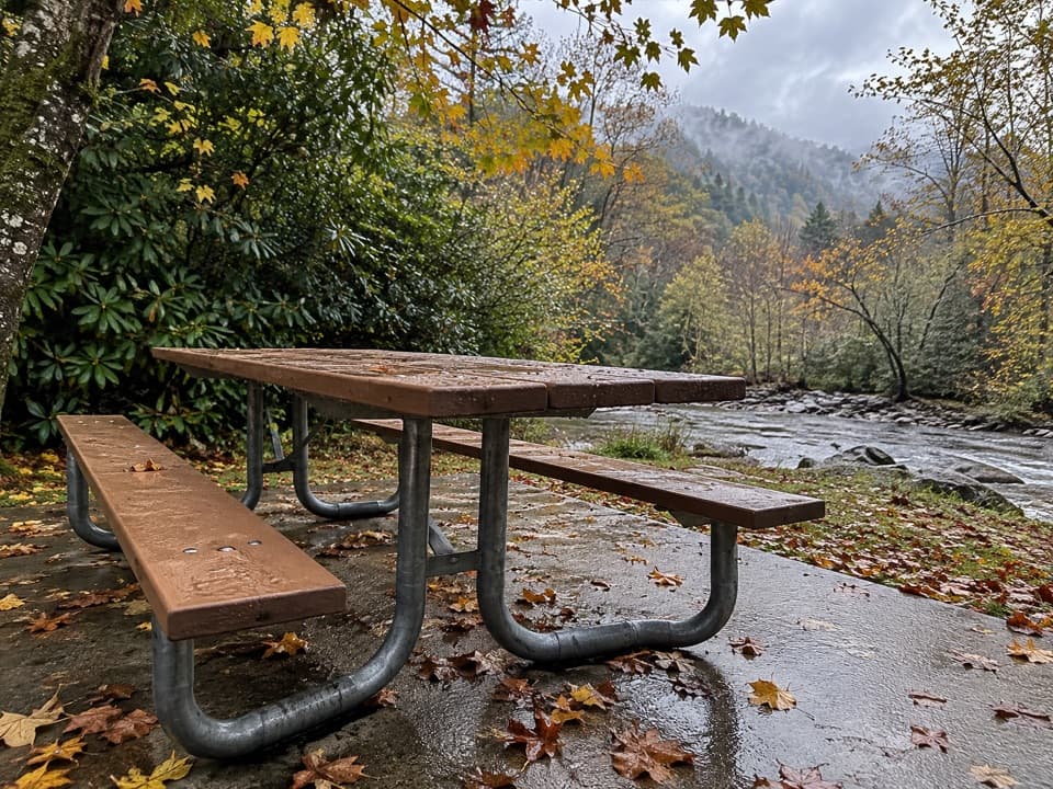
Deep Creek Waterfalls and Picnic Area
0:00 / 0:34
“You're coming up on Deep Creek, where waterfall walks and a creekside picnic can fill a relaxed afternoon.”

Plays as you drive up to this trailhead in the Parkwolf Great Smoky Mountains Tour Guide.

More stories near here in the app

  • Boulders from a Colder Smokies
  • Flowers Across the Lake
  • Fontana's Wartime Power
  • Room for the Next Rain
  • 188 audio storiesacross Great Smoky Mountains’s roads, triggered by GPS as you drive
  • Wildlife heatmapsfor Black Bear, Elk, Bald Eagle, and 13 more
  • Works offlinemaps, 197 trails, 100 places, and audio download before you lose signal
  • CarPlay readysimple controls built for the drive
★★★★★
“Fantastic app with many points of information… It’s great to just turn on while you’re driving and it gives you an audio tour of the national Park. We love it!!!!”
JMJamesApp Store review
Download Parkwolf on the App StoreGet Parkwolf on Google Play

4.7 from 8,600+ ratings

Trail guide

Hiking Lonesome Pine Overlook Trail

Climbing to Beaugard RidgeStart at the Noland Divide Trailhead across from Deep Creek Campground.

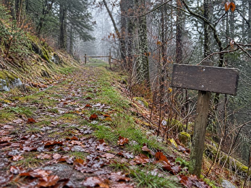
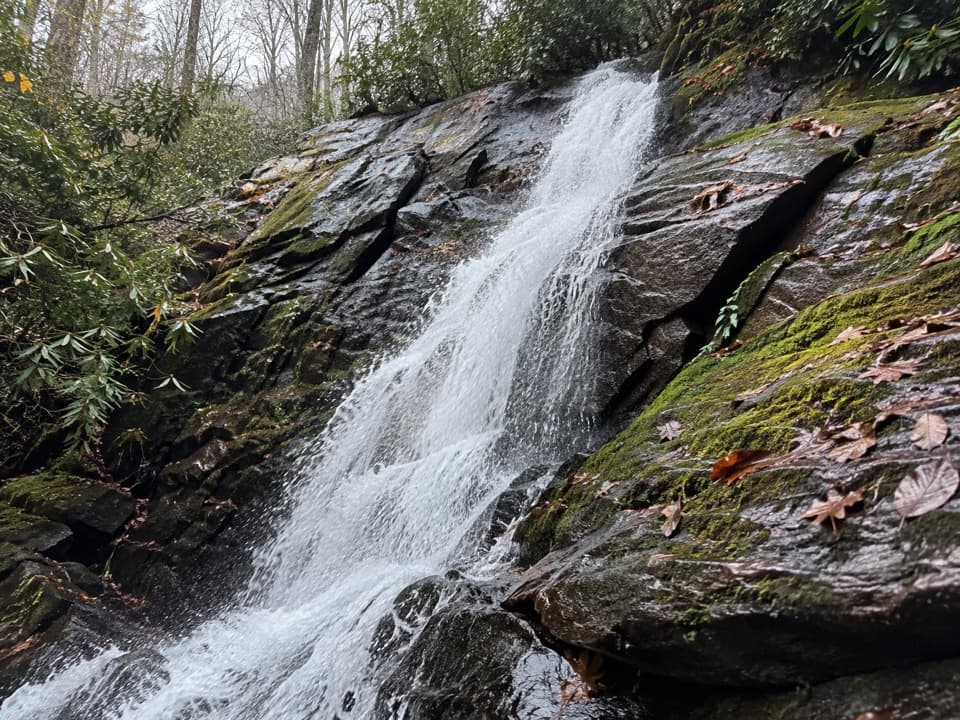
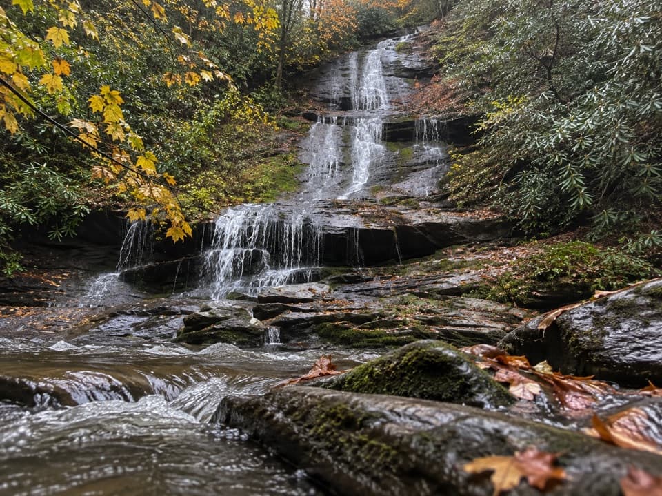
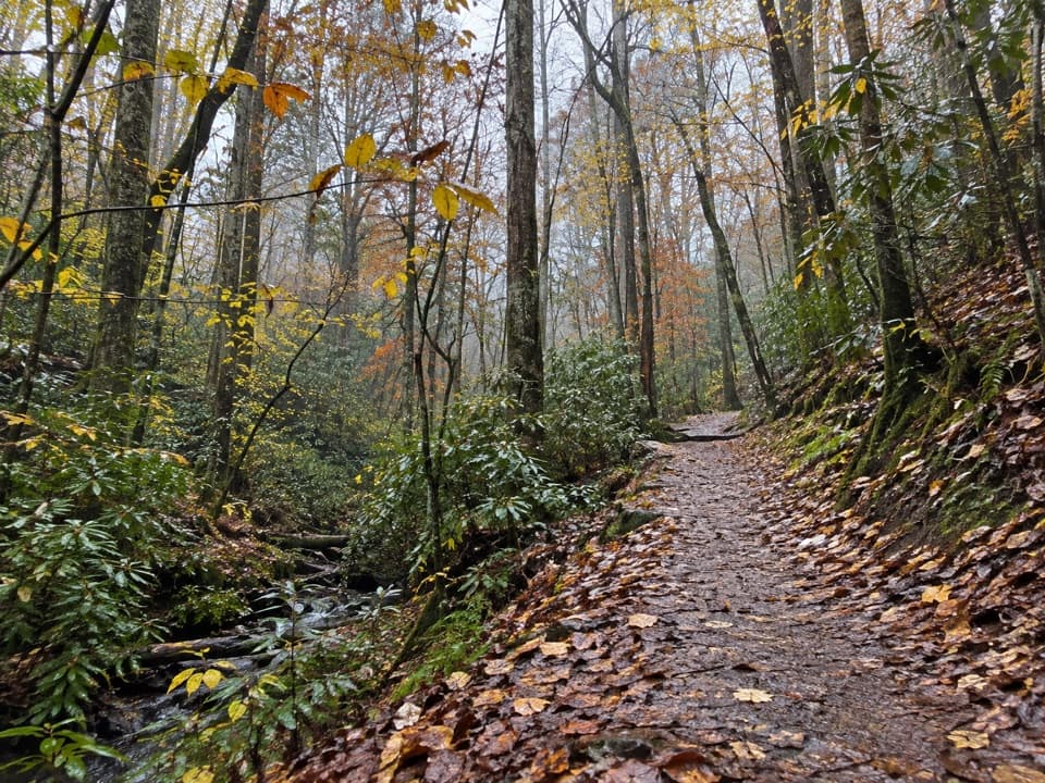
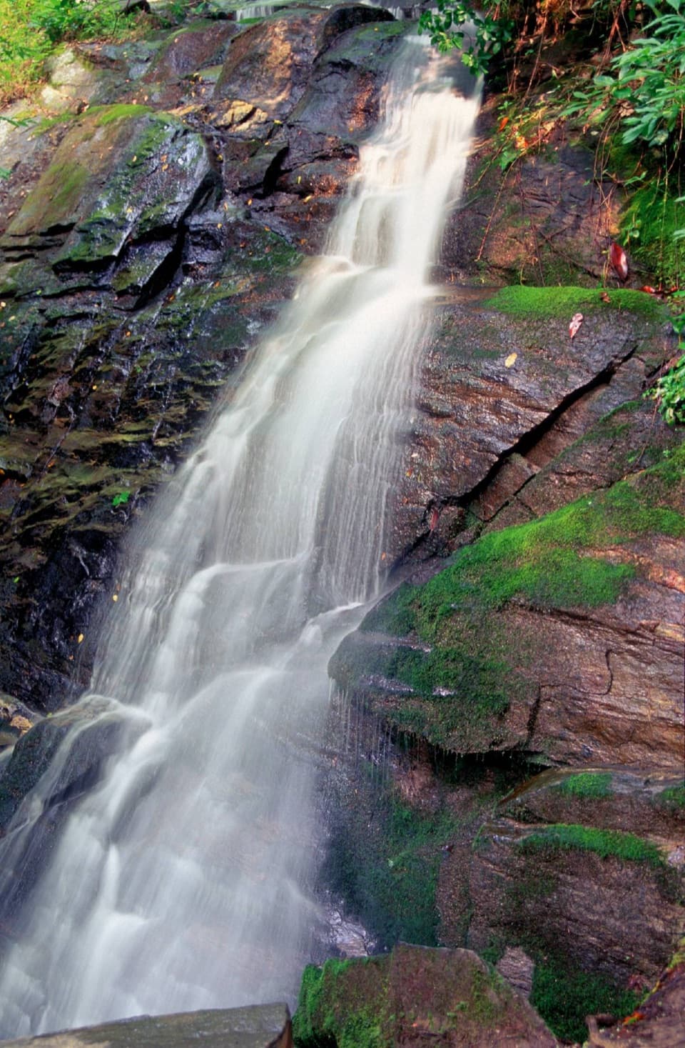
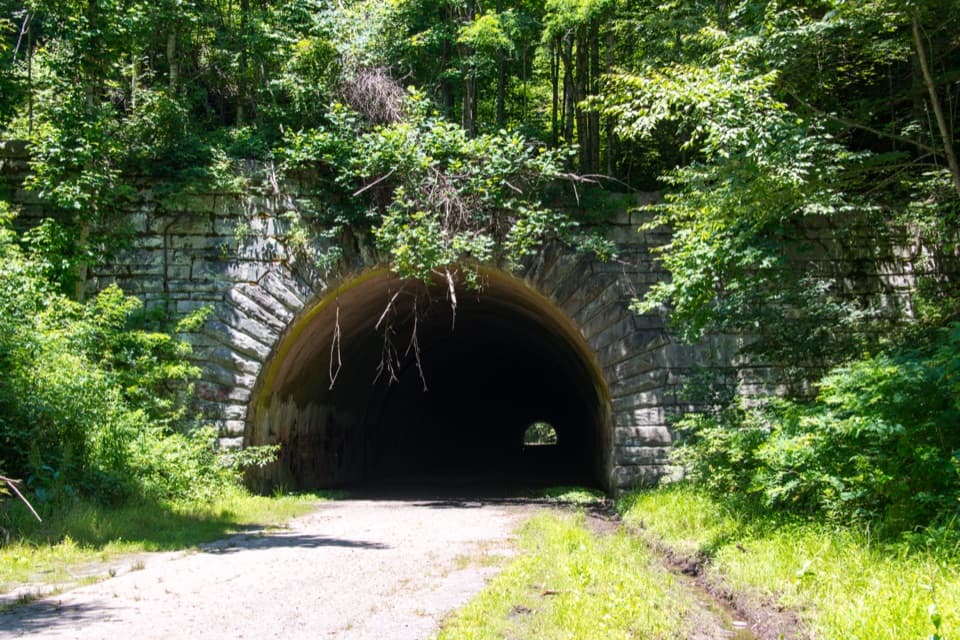
Start at the Noland Divide Trailhead across from Deep Creek Campground. The trail crosses Durham Branch on a footlog, then climbs through mixed hardwood and pine woods. The grade builds after the gentler opening stretch. A small cascade tumbles down a rock face from a tributary of Juney Whank Branch partway up, but there is no potable water along the route. This is also a horse trail, so hikers share the tread with horse traffic.

The overlook and the ridgeNear the top, the path follows a narrow, rocky spine with steep drop-offs in places.

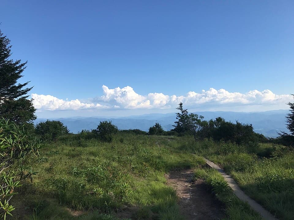
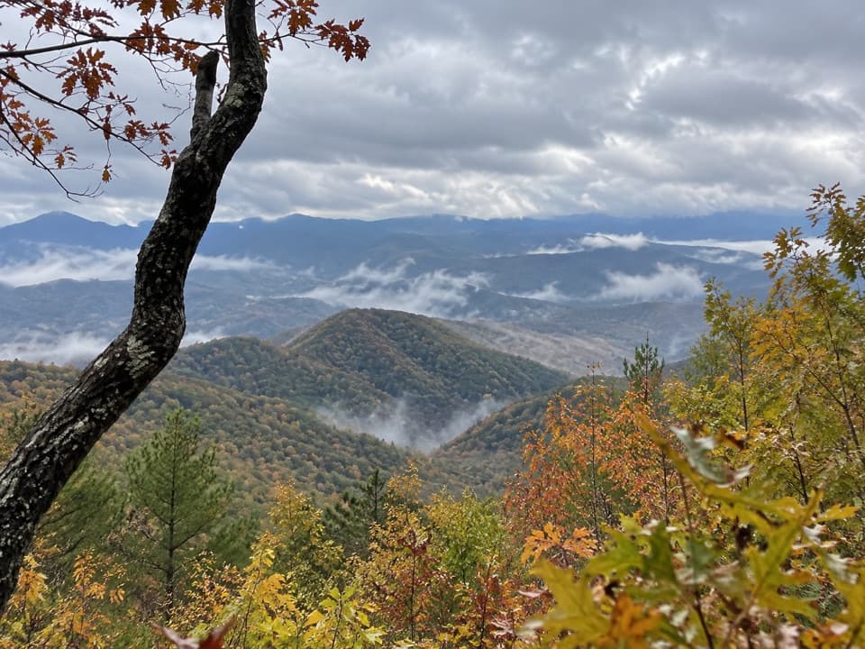
Near the top, the path follows a narrow, rocky spine with steep drop-offs in places. It circles around the back of the knob before a short signed spur reaches the rocky outcrop. Trees interrupt some of the view from the top, so look along the ridge as well: the wider sightlines run across the Tuckasegee River Valley toward Bryson City and the Nantahala, Cowee and Alarka ranges. The name can mislead; there is no single pine on the summit, but a group of pines grows below the knob.

A local name in the viewAcross Lands Creek, Kelly Bennett Peak recalls a Bryson City pharmacist who helped make the…

Across Lands Creek, Kelly Bennett Peak recalls a Bryson City pharmacist who helped make the case for a national park in the Smokies. His family opened a drugstore in town in 1905, and the old building still stands. It is a small but fitting local story to carry along the ridge.

Getting there and backUse the Noland Divide access on W Deep Creek Road, opposite the campground.

Use the Noland Divide access on W Deep Creek Road, opposite the campground. The park map marks parking for horse trailers at the trail access, but the number of spaces for day hikers is unclear. A displayed Smokies parking tag is required if your vehicle stays more than 15 minutes. The adjacent campground has seasonal drinking water and restrooms off the route; pets are not allowed on this trail.
Wildlife

Wildlife in Great Smoky Mountains

All Great Smoky Mountains wildlife maps

Sighting maps show where each species has been reported across Great Smoky Mountains. Wildlife moves, so no sighting is guaranteed.

Keep exploring

Near Lonesome Pine Overlook Trail

See it all on the map

Trails that start nearby

Places near the trailhead

Parkwolf’s Great Smoky Mountains ranking

Top-rated trails in Great Smoky Mountains

All 197 trails
  1. 1Mount Le Conte via Alum Cave TrailChallenging · 10 mi
  2. 2Charlies Bunion via Appalachian TrailModerate · 8 mi
  3. 3Alum Cave Trail to Alum Cave BluffsModerate · 4.6 mi
  4. 4Ramsey Cascades TrailChallenging · 8 mi
  5. 5Mount Cammerer TrailChallenging · 11.1 mi
  6. 6Gregory Ridge TrailChallenging · 11.4 mi

Take Parkwolf to Great Smoky Mountains.

The audio tour guide for the drive, plus offline maps, trails, and wildlife heatmaps for when the signal drops.

4.7 from 8,600+ ratings

Download Parkwolf on the App StoreGet Parkwolf on Google Play