Pros & cons
PROS
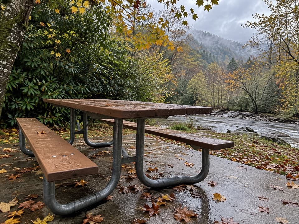
- Benches at Tom Branch Falls make it easy to linger and enjoy the view
- From one parking area you can link three waterfalls in a single visit
CONS
- Short spur to Indian Creek Falls has steep, slick steps that can surprise casual walkers
- Shared corridor with summer tubers reduces tranquility on busy days
Park at the Deep Creek parking area/trailhead just north of Bryson City; it fills during peak times, so arrive early.
Wet, slick footing on the steps and rocks near Indian Creek Falls; expect crowds and tubers along the lower Deep Creek approach in warm months.
Overview
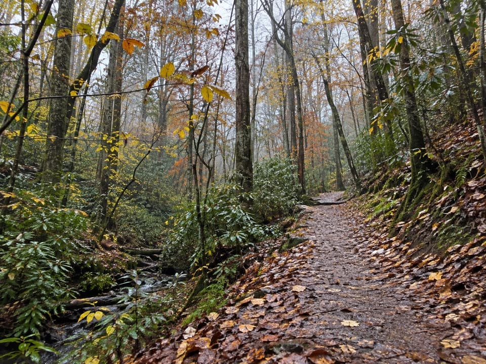
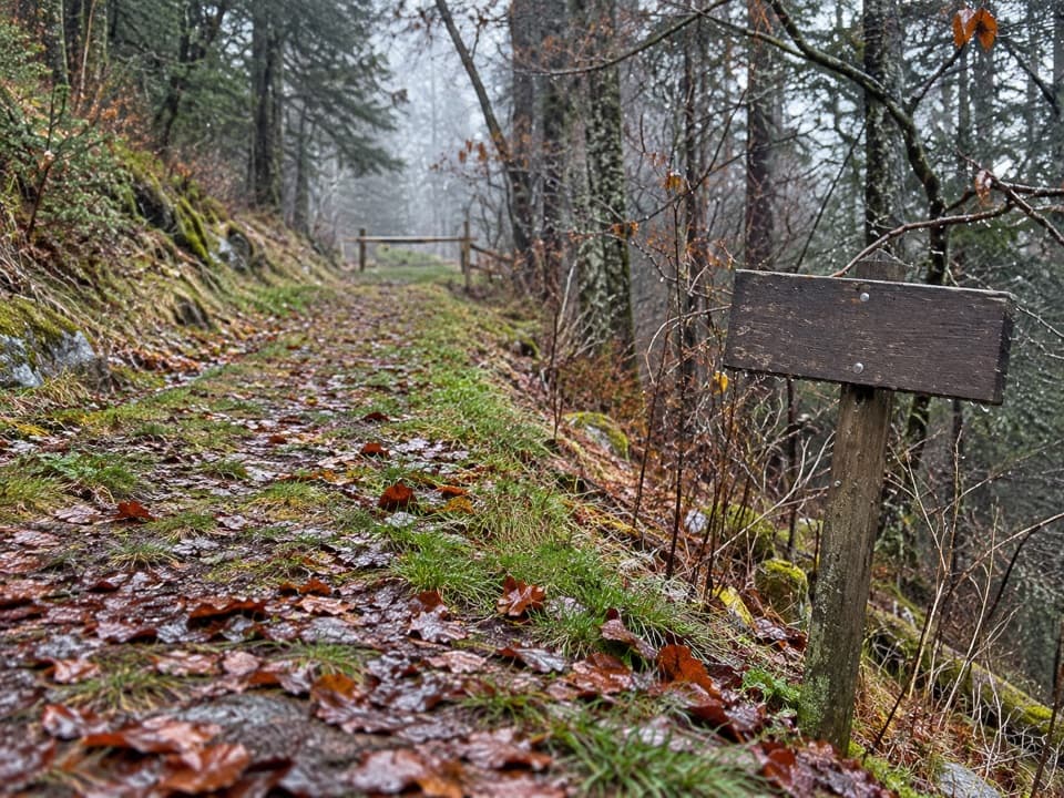
This is the Deep Creek classic: an easy creekside stroll to two photogenic waterfalls with big reward for minimal effort. The outing is 1.9 miles round trip total, starting on Deep Creek Trail, then briefly joining Indian Creek Trail to reach Indian Creek Falls. Expect a wide, well-graded path, constant water views, and lots of families in peak season.
Route and What You’ll See
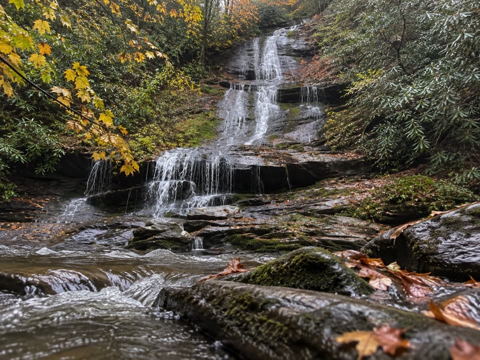
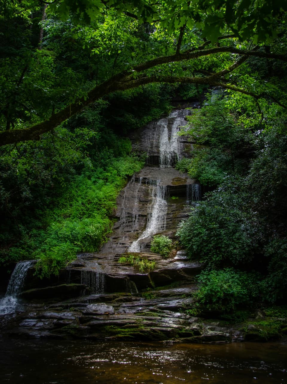
From the Deep Creek parking area, follow Deep Creek Trail about 0.7 mile to the junction with Indian Creek Trail. You’ll pass Tom Branch Falls at roughly 0.3 mile—there are benches here and the cascade drops gracefully into Deep Creek across the way. At the junction, turn right on Indian Creek Trail for roughly 0.1 mile, then take the short spur with steps down to the viewing area for Indian Creek Falls. Return the same way.
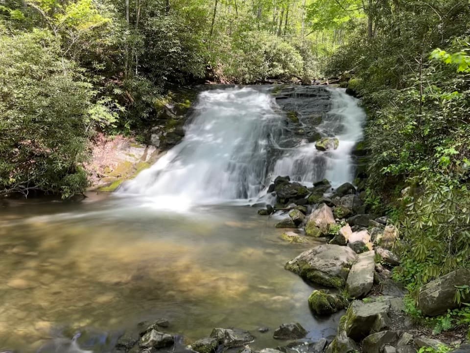
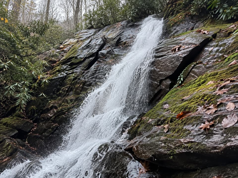
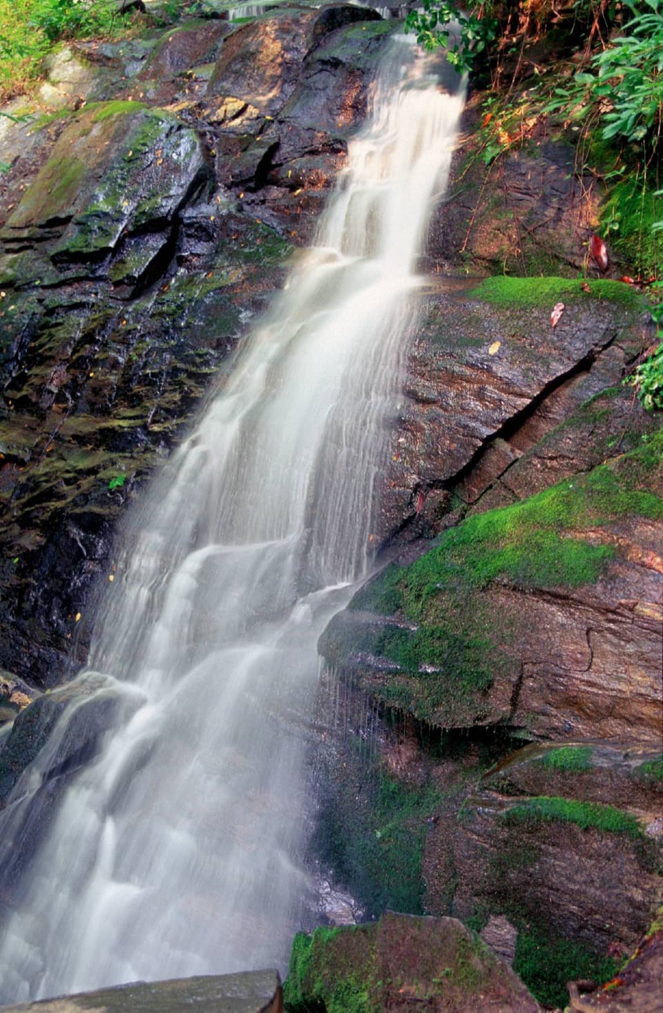
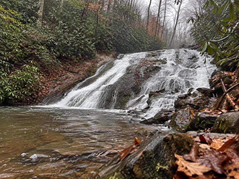
Tom Branch Falls is tall and ribbon-like; Indian Creek Falls is a slide-style cascade often described around 45 feet, sheeting over smooth rock and looking great after rain. The approach is mostly flat on an old roadbed; the final spur has a steeper set of steps and wetter footing near the viewing area. In spring, watch for a parade of wildflowers along the creekside.
Best Times to Hike
Year-round works. Spring delivers wildflowers and cool temps. Summer is lush and lively—but also the busiest, with tubers using the lower Deep Creek corridor—so come early or late in the day for calmer views. Fall and winter bring thinner crowds and good flow after rains; overcast days are excellent for waterfall photography.
Crowds, Conditions, and Vibe
This is popular and can feel busy in warm months. You’ll likely share the path with tubers along the lower stretch. Despite the crowds, the scenery is classic Smokies: clear creeks, mossy banks, and easy grades through one of the world’s oldest mountain ranges—moist, shady slopes that help fuel the park’s many cascades.
Tips and Tricks
- Footing: Wear decent shoes and mind the wet, slick rock and wood at the Indian Creek Falls spur. The steps are short but steeper than the rest of the walk.
- Make it a three-falls day: From the same lot, Juney Whank Falls is an easy add-on, letting you see three waterfalls with minimal driving.
- Angling option: Indian Creek holds wild trout; if you plan to fish, bring a valid state license and follow park regulations.
- Parking: This area fills in peak season—arrive early for easier parking and quieter falls.
Who It’s For
Families, casual walkers, photographers, and anyone wanting a high reward-to-effort ratio. If you’re craving solitude, aim for shoulder seasons or early mornings; if you want a bigger day, consider longer loop options from the same corridor that incorporate Indian Creek Trail and nearby ridges.
Wildlife on this trail
Near Indian Creek Trail
All places →All trails →
Kuwohi (Clingmans Dome)Highest Smokies peak with a 360° tower and sweeping ridgeline viewsTrailhead · Parking
Clingmans Dome Observation Tower360-degree Smokies views from a futuristic Mission 66 towerParking · Restroom
LeConte LodgeHike-in mountaintop lodge with hearty meals and knock-out viewsLodging · Food
Mount Le ContePanoramic ridges and a hike-in lodge reward a stout climbScenic Viewpoint · Lodging
Appalachian Trail (GSMNP section)72 rugged ridge miles with towers, classic knobs, and big views.Challenging · 72 mi · 168 hr
Alum Cave TrailStreamside climb to Arch Rock, big views, and a towering bluffModerate · 4.6 mi · 3 hr
Gregory Ridge TrailSteep, shaded grind to a flower studded bald with huge views.Challenging · 11.1 mi · 6.4 hr
Clingmans Dome TrailShort, steep paved climb to 360° views from the Smokies’ rooftopEasy · 1 mi · 48 min