Parking
Use the large parking area at the end of Deep Creek Road, past Deep Creek Campground. The trail begins at the far end of the lot; follow the Juney Whank signs. A parking tag is required for visits longer than 15 minutes.
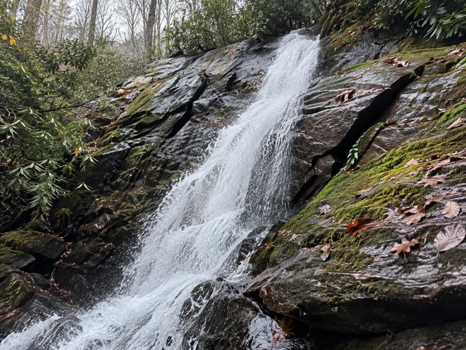
Great Smoky Mountains National Park, TN · NC
A short loop reaches an 80-foot cascade and crosses its wooden footbridge.
Overview
Map & elevation
Plan your hike

The highest, rockiest slopes around here are a summer buffet for grizzly bears.
Great Smoky Mountains Tour Guide
Parkwolf is a GPS audio tour guide for Great Smoky Mountains National Park. As you drive, it chimes in with what’s ahead: hidden gems, upcoming stops, history, geology, and wildlife, right through your car’s speakers.
See the Great Smoky Mountains audio tourRecorded for this trailhead
Deep Creek Waterfalls and Picnic Area“You're coming up on Deep Creek, where waterfall walks and a creekside picnic can fill a relaxed afternoon.”
Plays as you drive up to this trailhead in the Parkwolf Great Smoky Mountains Tour Guide.
More stories near here in the app
“Fantastic app with many points of information… It’s great to just turn on while you’re driving and it gives you an audio tour of the national Park. We love it!!!!”


Trail guide
Juney Whank Falls Trail is a 0.6-mile loop from the large Deep Creek parking area. It shares a short stretch with Deep Creek Horse Trail, climbs through the woods to the falls, then descends to Deep Creek Trail for the return. Allow about 30 minutes. The uphill is brief but steep, and the downhill is uneven. Start at the far end of the parking lot and follow the Juney Whank signs; there are a few turns. A parking tag is required for stops longer than 15 minutes, and dogs are not allowed on this trail.
Several small streams join before dropping about 80 feet over the rock wall. A wooden footbridge crosses the cascade, so you can look at it from either side. Spray can reach the bridge when the water is high, and the rocks nearby can be slick. “Juney Whank” is a Cherokee phrase meaning “place where the bear passes.”
This short loop is separate from the 2.4-mile Deep Creek Waterfalls Loop, which adds Indian Creek Falls and Tom Branch Falls. Choose the longer route if you want all three waterfalls, and bring a map for its turns. The closest restrooms are at Deep Creek Campground and are seasonal; food and drinking water on the trail were not found.
Wildlife
 1,569 sightingsBlack BearMost seen around 7 PMSighting map
 900 sightingsElkMost seen around 7 AMSighting map
 13 sightingsBald EagleMost seen around 9 AMSighting map
 142 sightingsTimber RattlesnakeMost seen around 6 PMSighting map
 26 sightingsBobcatMost seen around 8 PMSighting map
 42 sightingsRiver OtterMost seen around 7 AMSighting map
Sighting maps show where each species has been reported across Great Smoky Mountains. Wildlife moves, so no sighting is guaranteed.
Keep exploring
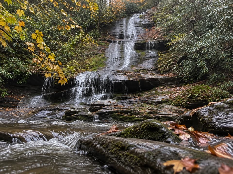 EasyTom Branch Falls Trail0.5 mi · 1 hr · At the trailheadA very short creekside walk to a tiered waterfall across the water.
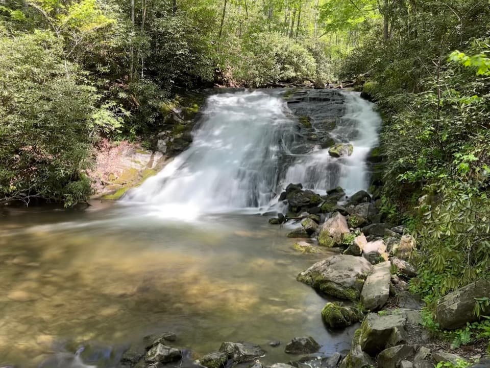 ModerateDeep Creek Waterfalls Loop2.4 mi · 2 hr · At the trailheadThree waterfalls in one short loop, with one steep opening climbModerateDeep Creek Loop Trail4.6 mi · 3 hr · At the trailheadA creekside loop links two falls with a steady half-mile climb.
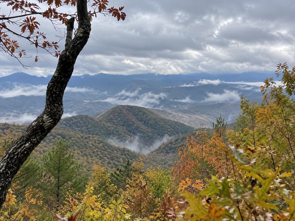 ChallengingLonesome Pine Overlook Trail6.8 mi · 4 hr · 0.4 mi awayA steep ridge climb to a rocky overlook above Bryson City.
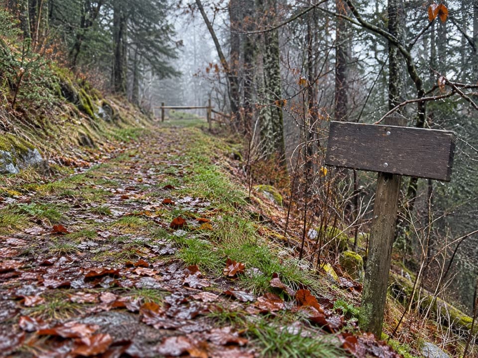 ChallengingNoland Divide Trail11.5 mi · 7 hr · 0.4 mi awayA long ridge traverse from Deep Creek to Kuwohi Road.
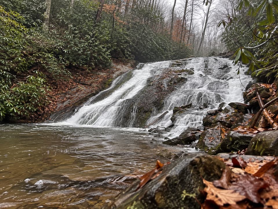 ModerateIndian Creek Trail3.6 mi · 2.5 hr · 0.6 mi awayA 3.6-mile route climbs past Indian Creek Falls to Sunkota Ridge.
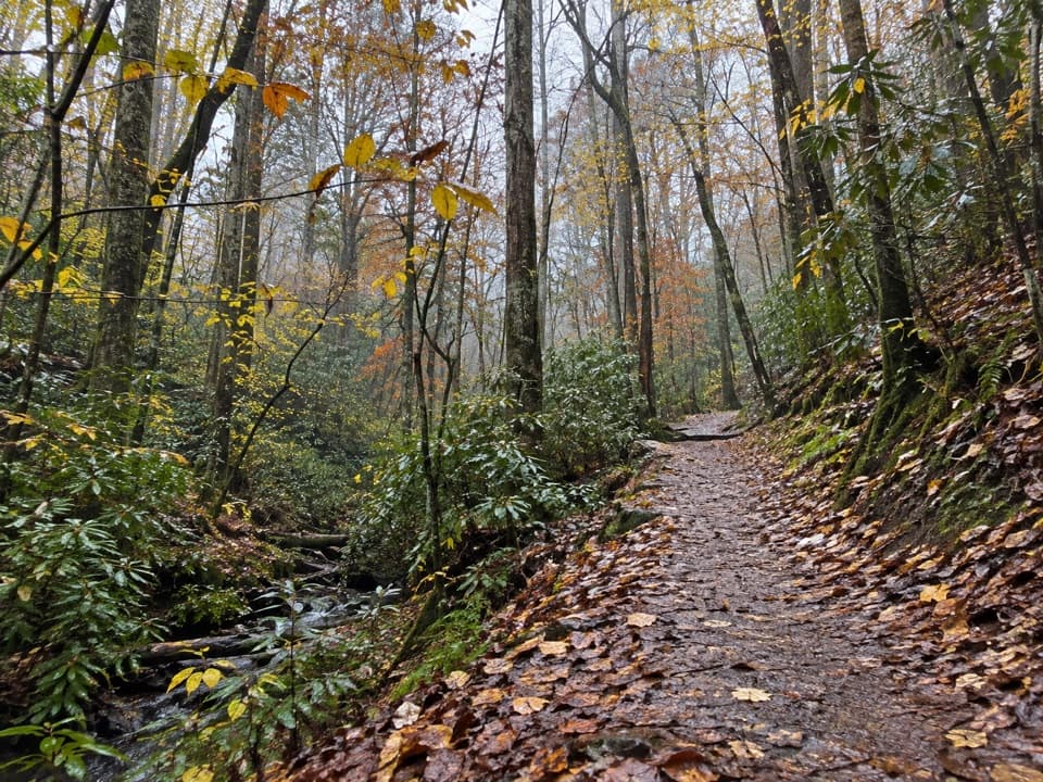 ModerateDeep Creek Horse Trail1.8 mi · 1.5 hr · 0.7 mi awayA wooded climb past Juney Whank Falls to Deep Creek Trail.
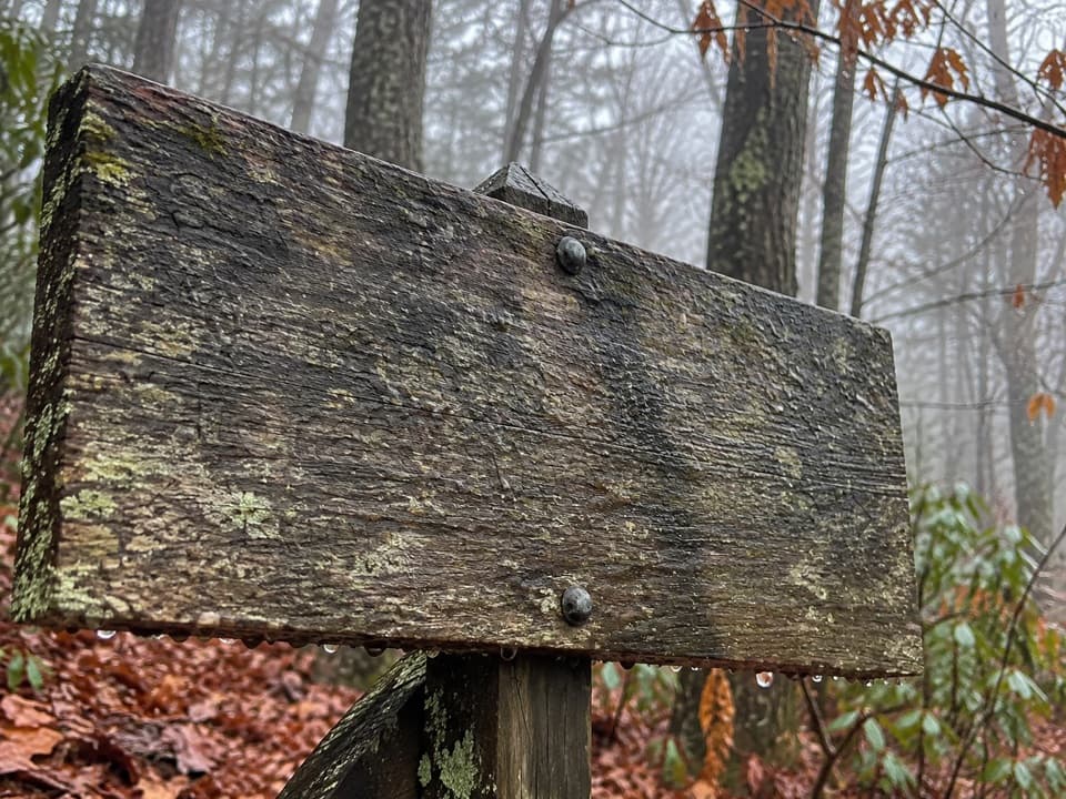 ChallengingSunkota Ridge Trail8.6 mi · 6.5 hr · 1.1 mi awayAn 8.6-mile point-to-point ridge hike through Deep Creek backcountry.
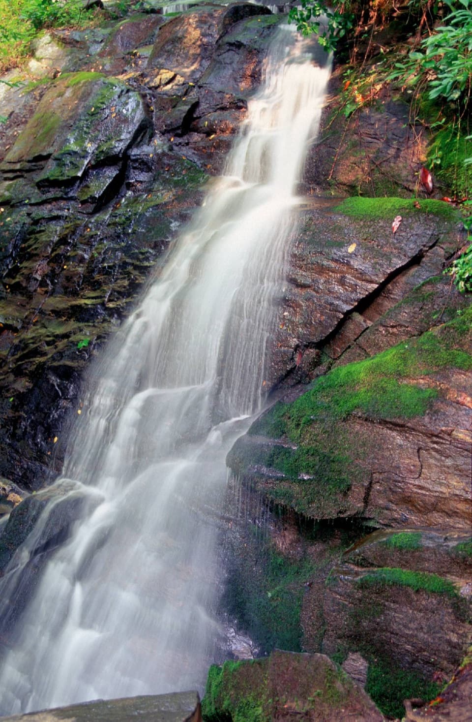 Sight · 0.1 mi awayJuney Whank FallsCross a footbridge for an unusually close look at both waterfall tiers.
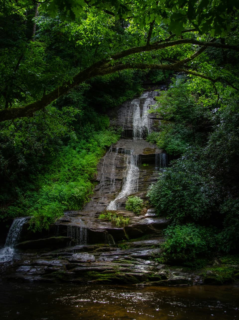 Sight · 0.3 mi awayTom Branch FallsFront-row benches across from tiered falls, after an easy walk.
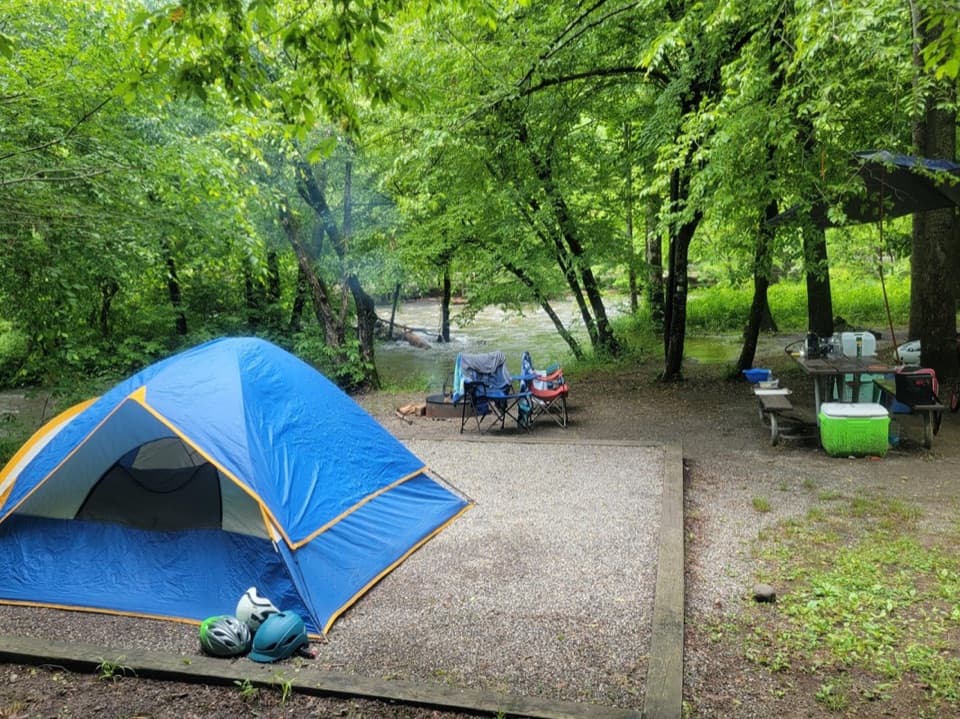 Campground · 0.3 mi awayDeep Creek CampgroundCreekside camping puts waterfalls and tubing within easy reach.
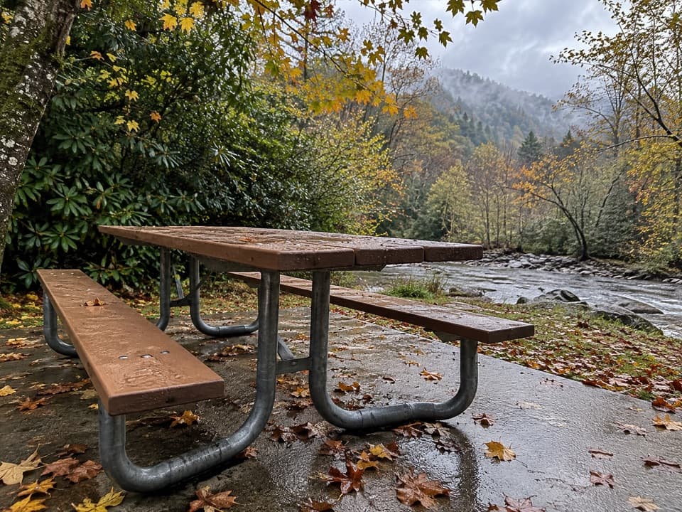 Picnic area · 0.3 mi awayDeep Creek Picnic AreaCreekside shade, charcoal grills, and waterfall walks in one stop.Sight · 0.7 mi awayIndian Creek FallsA creekside walk to two falls, ending at a broad 25-foot cascade.
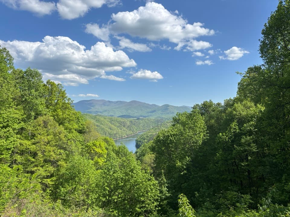 Scenic pullout · 4.1 mi awayFontana Lake OverlookA quick lake-and-ridge view on the Road to Nowhere.
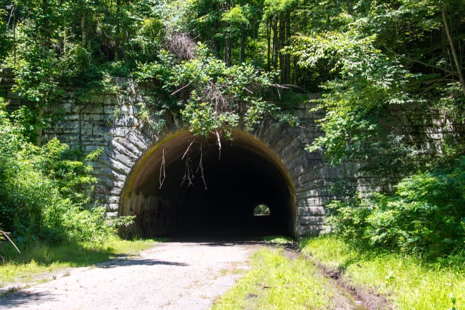 Sight · 6 mi awayLakeview Drive TunnelWalk a 1,200-foot tunnel on a road that never reached its end.
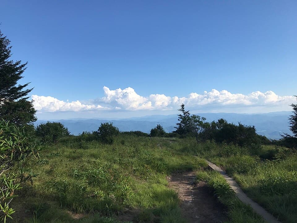 Sight · 6.3 mi awayAndrews BaldAn open mountain meadow with a 3.6-mile hike and a steep return.
Parkwolf’s Great Smoky Mountains ranking

The audio tour guide for the drive, plus offline maps, trails, and wildlife heatmaps for when the signal drops.





