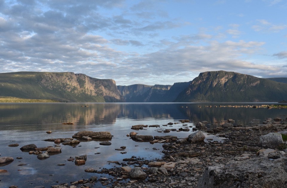
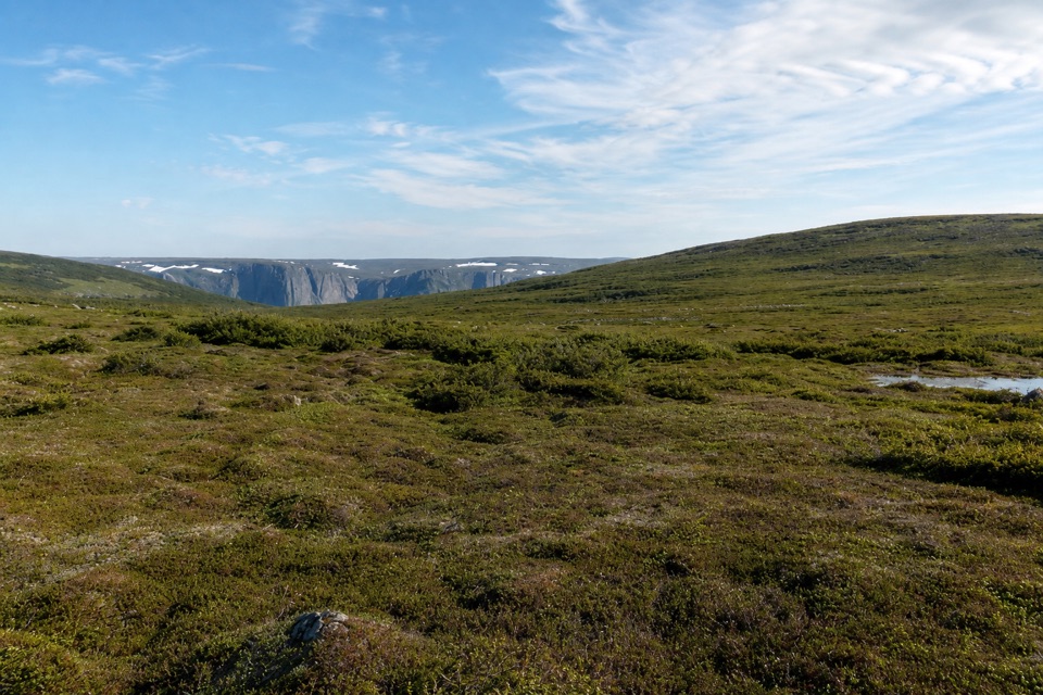
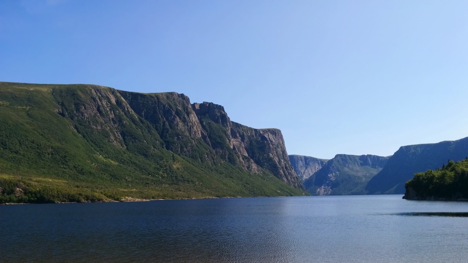
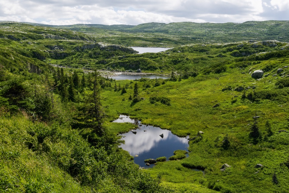
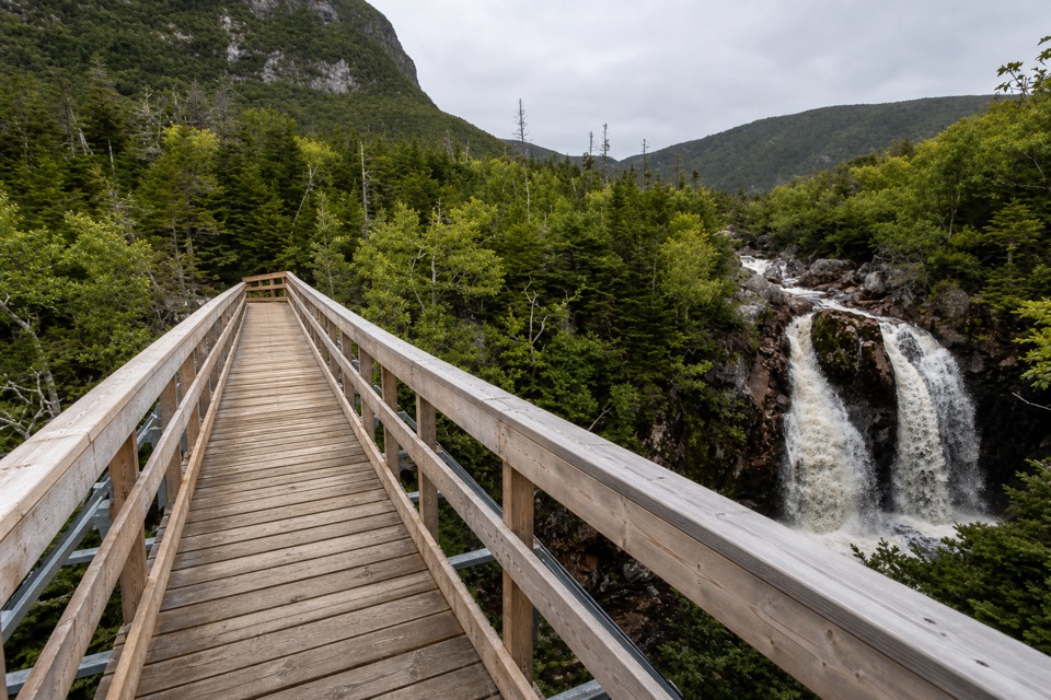
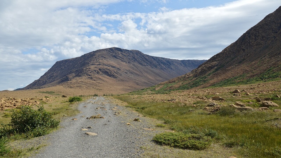
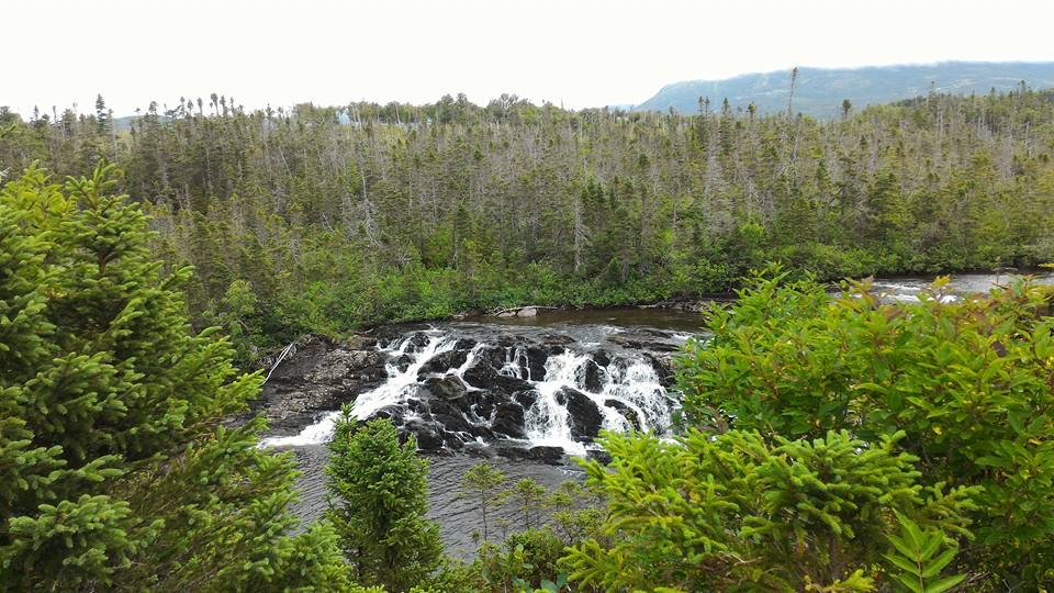
The route then threads south between Little Island, Marks, Hardings and Green Island ponds. Expect bog, deep mud, slick rock and short, sometimes difficult brook crossings. Much of the plateau is open with few landmarks, and low cloud makes its faint tracks harder to distinguish from game paths. Keep south at Marks Pond rather than following paths southeast toward Glanders Gulch or Candlestick Pond. At Green Island Pond, ignore the tempting shoreline path: it ends at an unsafe cliff. The crossing between the two Green Island camps can be difficult when water is high and fast.
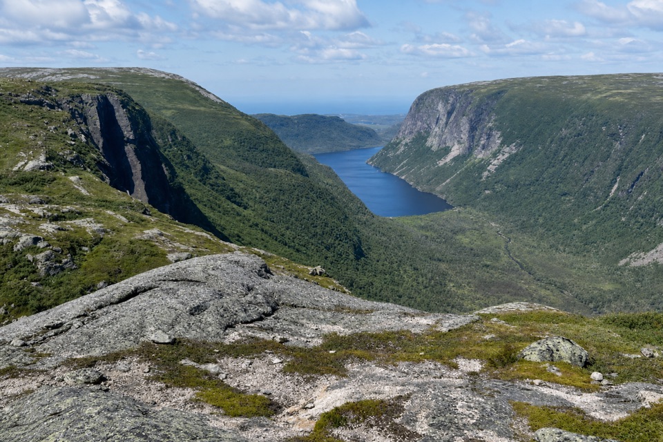
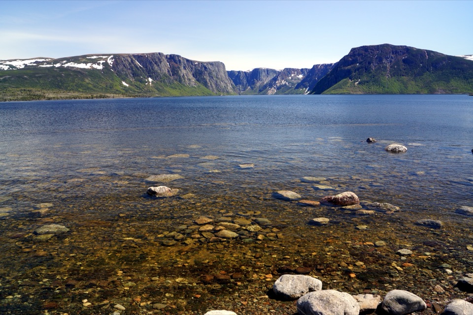
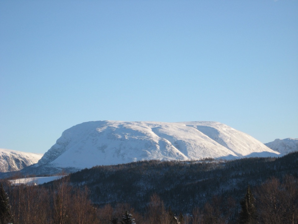
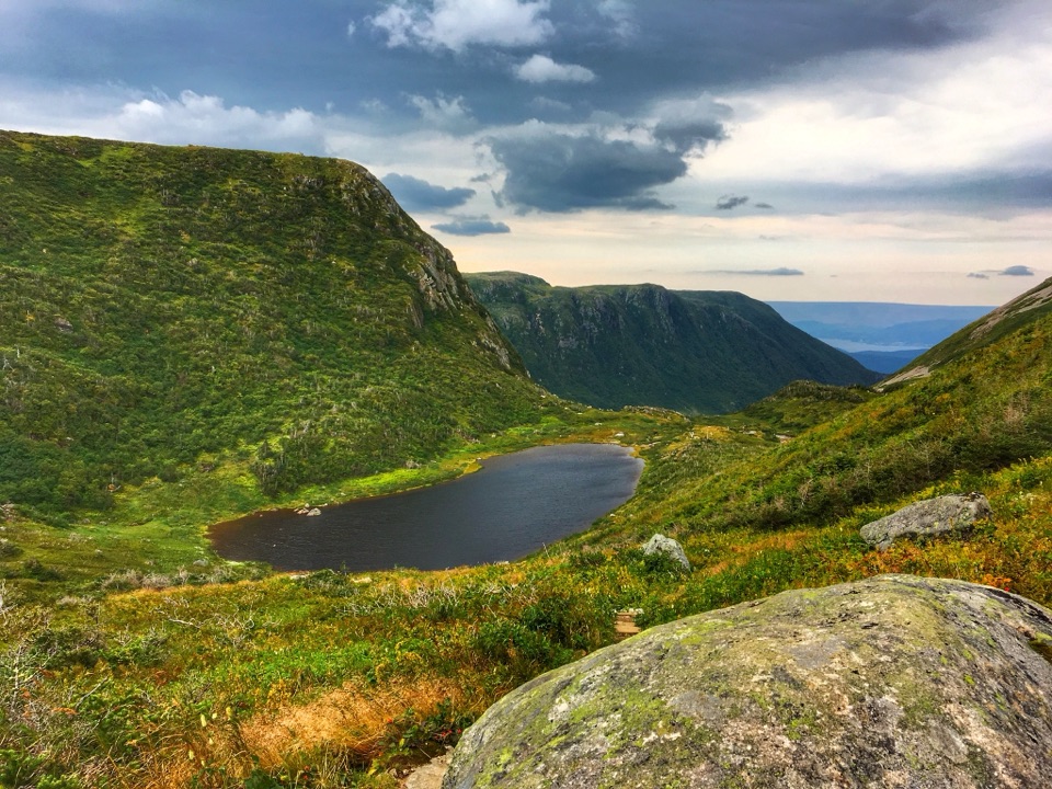
At Bakeapple Pond, the route opens to a view across Ten Mile Pond; include the near rim with the water to show the scale of the basin. The descent into Ferry Gulch follows the newer, less steep route before joining the Gros Morne Mountain trail. From Ferry Gulch, allow another 2 to 4 hours for the final 7.7 km to Highway 430. The optional Gros Morne Mountain summit is a separate hike and is not part of this route.