Northern Traverse in Gros Morne National Park

#7 of 25 trails in Gros Morne

Gros Morne National Park, NL

Northern Traverse

Three nights across unmarked ridges, bog, and wind-shaped tuckamore.

Photo: Wikimedia Commons
Length
33km
Time
1day
Elev. change
681m
Difficulty
Challenging
  • High point 701 m
Parkwolf audio tour87 stories across Gros Morne’s roads

Overview

About Northern Traverse

Why go

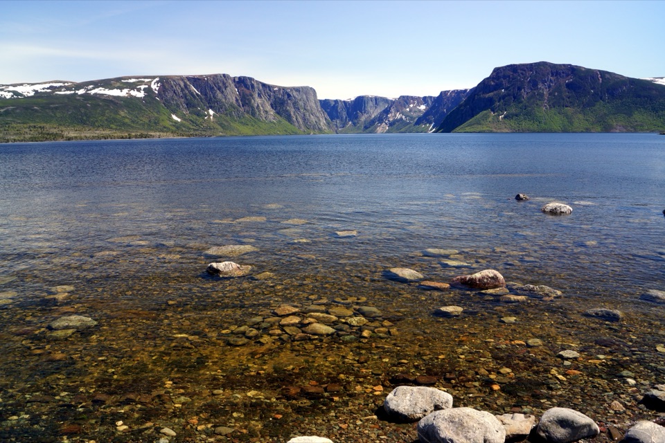
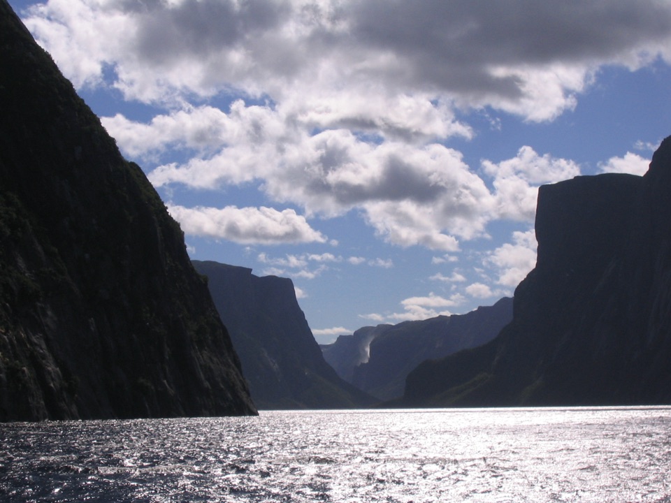
  • A remote, multi-day route with Western Brook Pond views at both ends.
  • Gilley Pond and Snug Harbour campsites break up the traverse.

Heads up

  • Route-finding through bog and tuckamore can add a lost night.
  • The descent and outflow exit are muddy, overgrown and include a brook ford.

Map & elevation

The route

Loading the Gros Morne map
Full map
Elevation20–701 m
TrailheadWestern Brook Pond east-end backcountry dock (LR-1)49.71431, -57.66056
Keep this map with you offline in the Parkwolf app

Plan your hike

Before you go

Parking

Use the Western Brook Pond Trailhead parking lot and BonTours boat terminal. Boat access is required to reach the east-end dock; the full on-foot route exits at the pond outflow and follows the easy three-kilometre Western Brook Pond trail back to the lot.

Safety

Unmarked, unmaintained backcountry with difficult navigation, poor visibility in low cloud, little water through the tuckamore section, repeated brook crossings and possible flooding or rockfall in the gorge. The North Rim viewpoint overlooks a steep 600-metre drop. A backcountry permit and safety briefing are required; boat access is seasonal.

3 active Gros Morne alerts

  • ClosureGreen Gardens and Wallace Brook trail sections closedDo not enter the closed sections of the Green Gardens and Wallace Brook trails.Official details
  • CautionStuckless Pond Trail bridge outDo not use the Stuckless Pond Trail at the stream crossing. - The bridge is out, and Parks Canada says trail use is not recommended at this time because of high water levels at the stream crossing.Official details
See all 3 alerts
A park ranger sits on a dash-mounted phone, talking, as Parkwolf’s Tour Guide plays “Army Cutworm Moths: A Grizzly Bear Buffet” on Grand Loop Road below Dunraven Pass in Yellowstone
Parkwolf Tour GuideThe highest, rockiest slopes around here are a summer buffet for grizzly bears.

Gros Morne Tour Guide

Your drive to Northern Traverse, narrated.

Parkwolf is a GPS audio tour guide for Gros Morne National Park. As you drive, it chimes in with what’s ahead: hidden gems, upcoming stops, history, geology, and wildlife, right through your car’s speakers.

  • 87 audio storiesacross Gros Morne’s roads, triggered by GPS as you drive
  • Wildlife heatmapsfor Moose, Caribou, Black Bear, and 13 more
  • Works offlinemaps, 25 trails, 58 places, and audio download before you lose signal
  • CarPlay readysimple controls built for the drive
★★★★★
“Fantastic app with many points of information… It’s great to just turn on while you’re driving and it gives you an audio tour of the national Park. We love it!!!!”
JMJamesApp Store review
Download Parkwolf on the App StoreGet Parkwolf on Google Play

4.7 from 8,600+ ratings

Trail guide

Hiking Northern Traverse

Plan for the full walkThe Northern Traverse is a 33 km, one-way backcountry route from the boat landing at the east…

The Northern Traverse is a 33 km, one-way backcountry route from the boat landing at the east end of Western Brook Pond to the Western Brook Pond trailhead and parking lot. Allow three or four days; the detailed route usually takes three nights. You need backcountry experience, physical fitness, wilderness navigation skills, and patience moving slowly across bog, rock and dense low forest. The line shown here includes the foot exit from the pond outflow to the parking lot. Published distances differ: a shorter 27 km figure appears in overview material, while detailed walking directions total 33 km to the lot. This description follows the full overland route.

The gorge and first campA boat carries hikers from the Western Brook Pond trailhead to the dock at the far end of the…

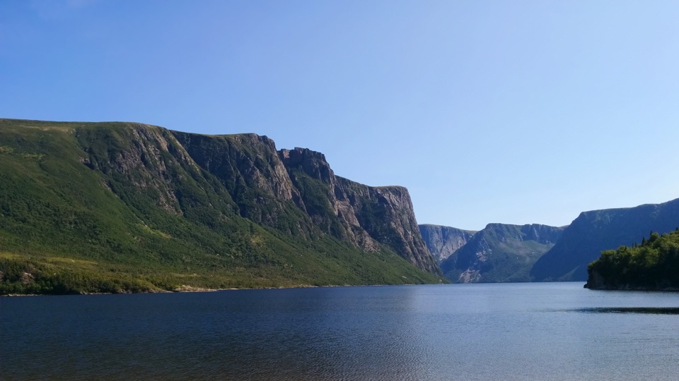
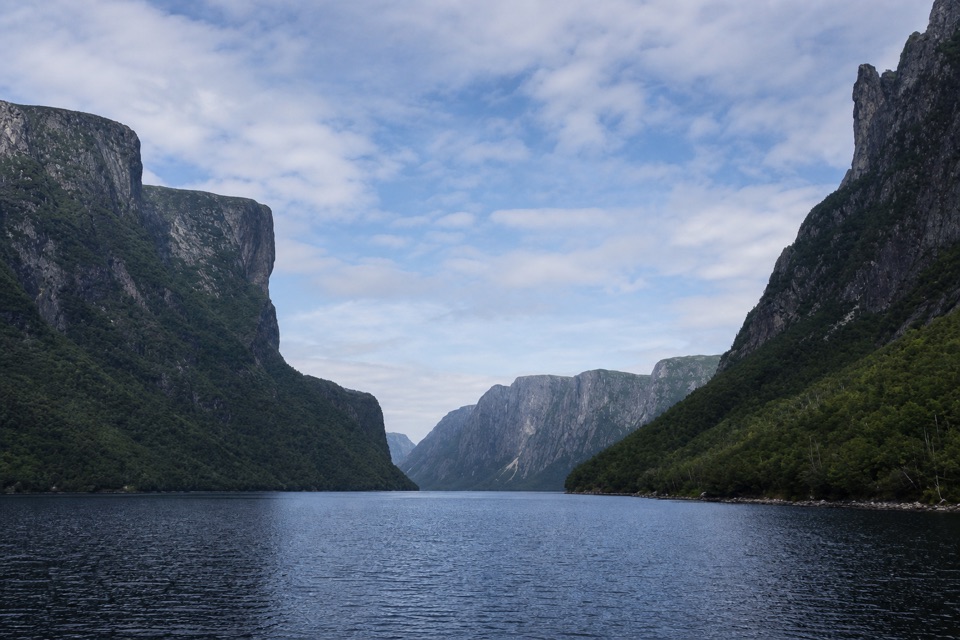
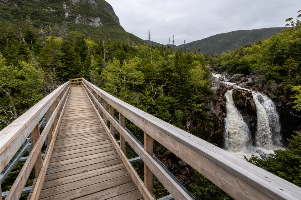
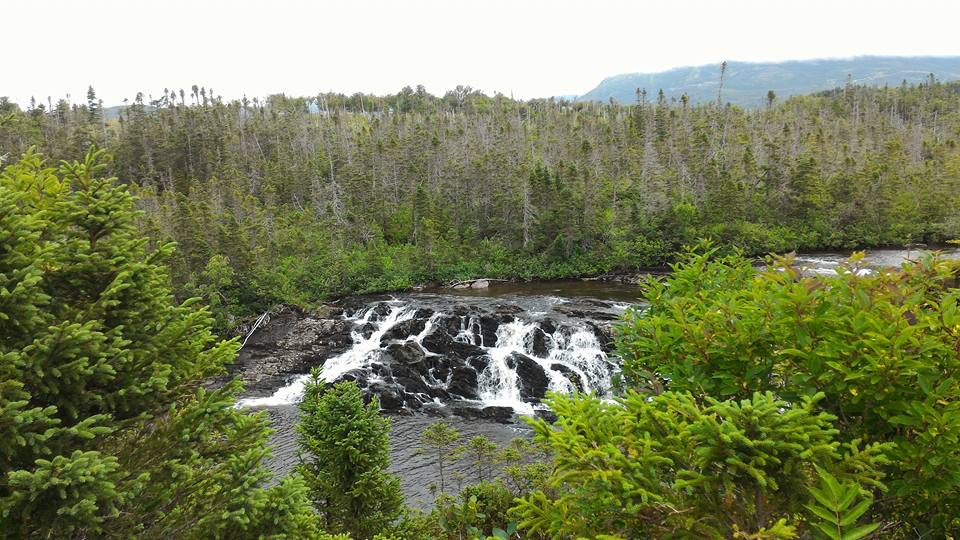
A boat carries hikers from the Western Brook Pond trailhead to the dock at the far end of the pond. From there, the first four kilometres climb more than 600 metres up the rugged gorge. The ground is rough and overgrown; the route keeps close to a brook, which may need crossing several times. Heavy rain can flood a small pond and obscure the way, while rockfall can alter the familiar traces. Near the large waterfall, work around its right side on a steep wooded slope, then return to the brook and cross the exposed rock slab above it.

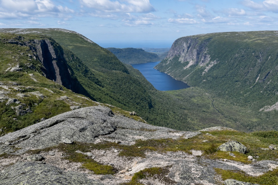
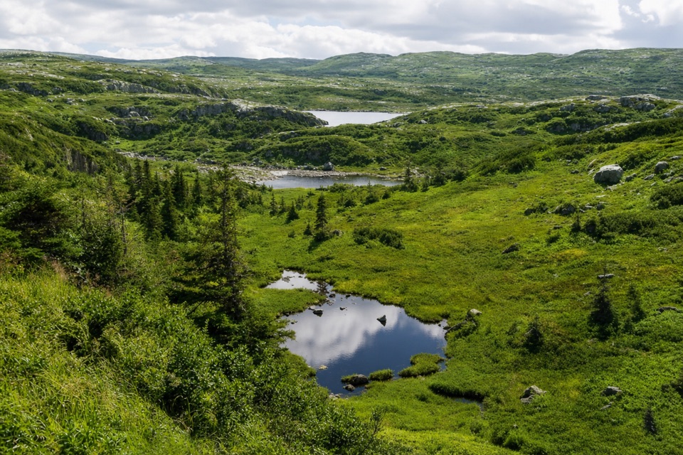
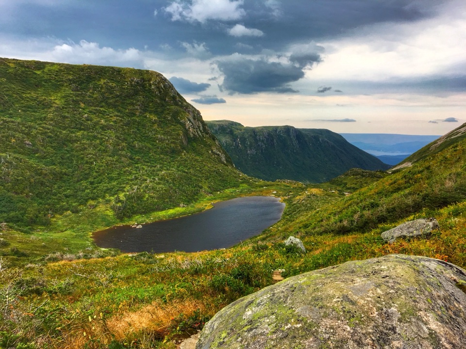
Beyond the slab, a small valley and saddle lead past several ponds to Gilley Pond. The campsite sits on its northeast shore and has a bear box but no tent pads. A short optional detour north of the saddle reaches a Western Brook Pond overlook; the cliffs there are steep, so keep well back from the edge.

Ridges, bog and tuckamoreThe next stretch to Triangle Pond crosses rocky ridges, linear bands of bog and wind-shaped…

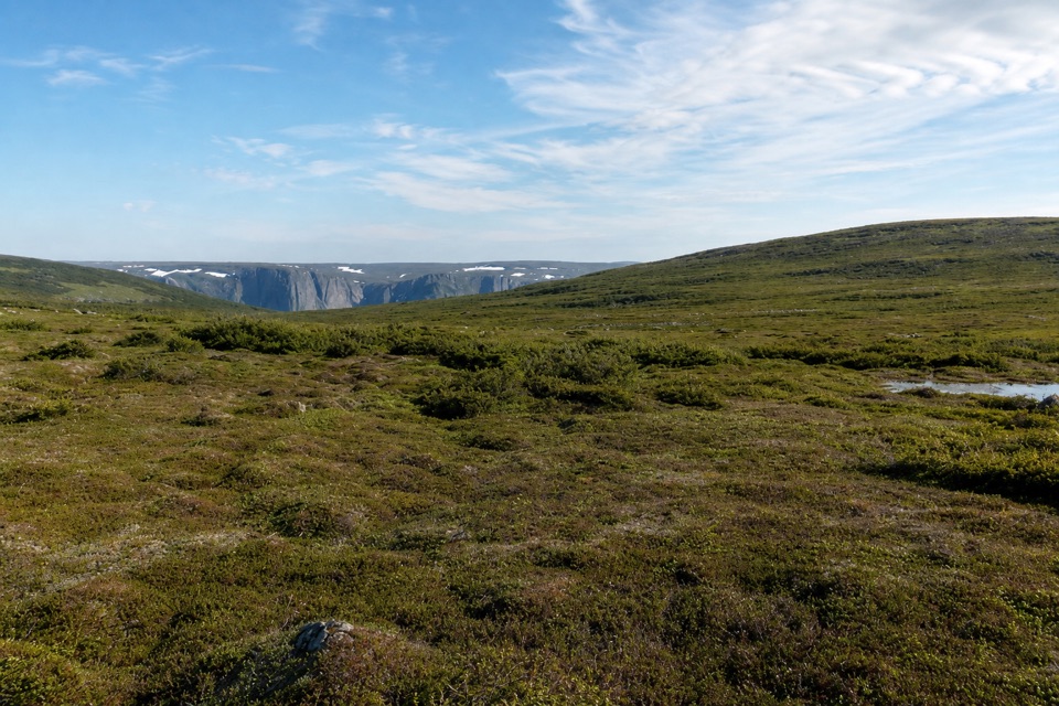
The next stretch to Triangle Pond crosses rocky ridges, linear bands of bog and wind-shaped tuckamore, the dense stunted spruce and fir that can be almost impassable. Landmarks are sparse and there are few suitable campsites between Gilley and Triangle, so route-finding and timing matter. From Triangle Pond, the hardest navigation continues toward the North Rim access: natural openings and game paths wind through thick tuckamore, and it is easy to lose the intended line or have to backtrack. Water is scarce on this section until Snug Harbour.

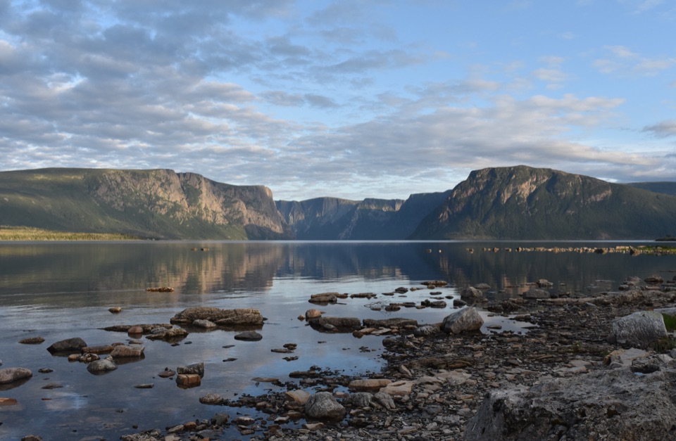
In clear conditions, a two-kilometre out-and-back from the North Rim plateau reaches a viewpoint over the Western Brook Pond gorge, with a sheer drop below. For a photograph, keep the opposite cliff wall and some water in the frame; that gives the view scale better than filling the phone with rock alone.

Down to the finishThe descent to Snug Harbour drops about 570 metres in four kilometres on a rough, unmaintained…

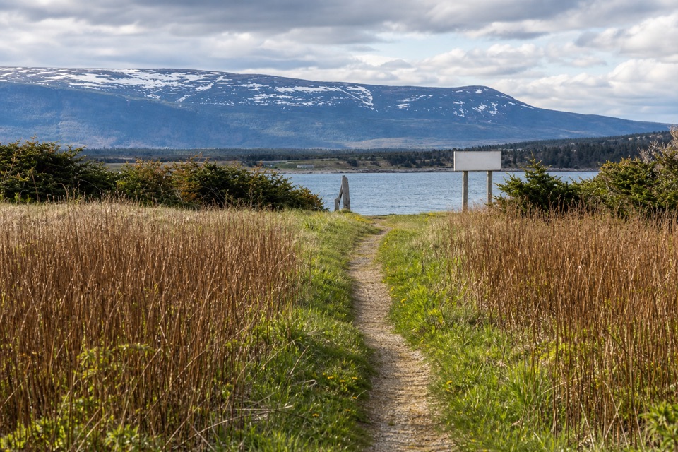
The descent to Snug Harbour drops about 570 metres in four kilometres on a rough, unmaintained path that can be muddy and slippery. From the shore, another 4.5 kilometres follow a mix of shoreline and poor, overgrown trail to the pond outflow. You must ford the brook there; the route directions place the crossing just above the outflow, where the water is shallower and the current weaker. The last three kilometres to the parking lot are an easy walk on the Western Brook Pond trail. Snug Harbour is a designated campsite.

Access is seasonal, generally from late June through September, and daily boat departures are limited. Arrange the boat ride in advance, then attend the required safety briefing and obtain the backcountry permit at the Visitor Centre the day before departure. Low cloud can make route-finding unsafe, and there is no marked trail across the plateau.

Wildlife

Wildlife in Gros Morne

All Gros Morne wildlife maps

Sighting maps show where each species has been reported across Gros Morne. Wildlife moves, so no sighting is guaranteed.

Parkwolf’s Gros Morne ranking

Top-rated trails in Gros Morne

All 25 trails
  1. 1Gros Morne Mountain TrailChallenging · 17 km
  2. 2Western Brook Pond TrailEasy · 6 km
  3. 3Tablelands TrailEasy · 4 km
  4. 4Green Gardens TrailModerate · 9 km
  5. 5Long Range TraverseChallenging · 35 km
  6. 6Baker's Brook Falls TrailModerate · 10 km

Take Parkwolf to Gros Morne.

The audio tour guide for the drive, plus offline maps, trails, and wildlife heatmaps for when the signal drops.

4.7 from 8,600+ ratings

Download Parkwolf on the App StoreGet Parkwolf on Google Play