Parking
Start at the Baker's Brook Falls Trailhead in Berry Hill Campground, about 5 km north of Rocky Harbour on Route 430. Trailheads have an orientation map; parking capacity and fees were not verified.
#6 of 25 trails in Gros Morne
Gros Morne National Park, NL
A quiet forest walk ends at limestone staircase cascades.
Overview
Map & elevation
Plan your hike

The highest, rockiest slopes around here are a summer buffet for grizzly bears.
Gros Morne Tour Guide
Parkwolf is a GPS audio tour guide for Gros Morne National Park. As you drive, it chimes in with what’s ahead: hidden gems, upcoming stops, history, geology, and wildlife, right through your car’s speakers.
Recorded for this trailhead
Berry Hill Trails and Baker’s Brook Falls“You're approaching the trailheads at Berry Hill Campground. Baker's Brook Falls is the longer outing: ten kilometres return, mostly through balsam fir, before the brook spreads over a staircase of limestone ledges.”
Plays as you drive up to this trailhead in the Parkwolf Gros Morne Tour Guide.
More stories near here in the app
“Fantastic app with many points of information… It’s great to just turn on while you’re driving and it gives you an audio tour of the national Park. We love it!!!!”


Trail guide
Baker's Brook Falls Trail is a 10 km out-and-back walk from Berry Hill Campground to a viewpoint over broad cascades stepping across limestone ridges. Allow two to three hours for the return trip. It is rated moderate, with 195 m of listed elevation gain, so it is a proper half-day outing rather than a short waterfall stop. Most of the route passes through balsam fir forest before the Brook and its wide, low falls provide the reward at the far end. Choose it for a quiet woodland approach and a destination you can stand and study; skip it if you want open views for most of the walk or a summit to climb.
The trail begins inside Berry Hill Campground, about 5 km north of Rocky Harbour, and heads through forest toward the Brook. Much of the route is screened from the wind by balsam fir. That makes the walk feel enclosed and calm, but the same shelter can bring biting insects, especially in spring and summer. Pack repellent rather than counting on a breeze to keep them away.
The trees tell part of the story here. The forest is recovering from wind and insect damage, and heavy moose browsing has slowed new growth in places. Look for the moose ex-closure along the trail: comparing the vegetation inside its fence with the plants outside gives you a simple, visible clue to how much browsing affects regeneration. This is a useful pause on a long approach, not a separate side trip or a promise of seeing a moose.
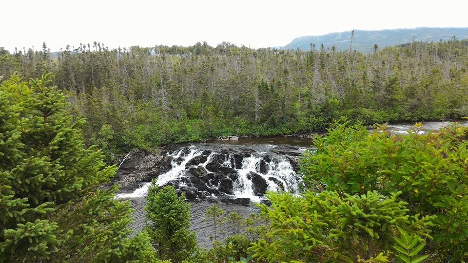
When you reach the riverside, keep following the trail downstream to the viewpoint. The falls spread across limestone ridges in a broad, stair-step series of cascades; they are less a single drop than a sequence of ledges and channels. Give yourself time to look across the whole width and notice how the water changes direction over the rock. For a photograph, include some of the fir branches around the water so the wide cascade reads as a place in the forest, not just white water cropped close.
Spring and summer bring wildflowers in the bog and forest, a second reason to take the walk beyond the waterfall itself. The route is still mostly a forest hike, so the falls are the main change of scene and the payoff for the steady distance. Turn around at the viewpoint and retrace the same way to Berry Hill; this is an out-and-back, not a loop.
Use the Baker's Brook Falls Trailhead in Berry Hill Campground on Route 430, around 5 km north of Rocky Harbour. The park says trailheads have an orientation map and that developed trails are marked, which helps with the start; the named access is the campground, not the falls listing on a map. There is no verified food or drinking-water service on this route, so carry what you need for a 10 km walk. The moderate rating and 195 m listed gain call for ordinary hiking footwear and enough time to enjoy the viewpoint rather than rushing back.
Dogs may accompany visitors under Parks Canada's general rule: keep them controlled and on a leash no longer than 3 m. Check for any trail restriction before setting out. In the wind-sheltered forest, biting insects are the practical nuisance to plan around; spring and summer wildflowers are part of the appeal, but bloom timing varies. If you are short on time, choose one of the park's shorter Berry Hill walks instead of starting this route and turning back before the falls.
Wildlife
 252 sightingsMooseMost seen around 7 AMSighting map
 120 sightingsCaribouMost seen around 7 AMSighting map
 22 sightingsBlack BearMost seen around 7 PMSighting map
 61 sightingsBald EagleMost seen around 7 AMSighting map
 11 sightingsCommon Minke WhaleMost seen around noonSighting map
 70 sightingsHarbor SealMost seen around noonSighting map
Sighting maps show where each species has been reported across Gros Morne. Wildlife moves, so no sighting is guaranteed.
Keep exploring
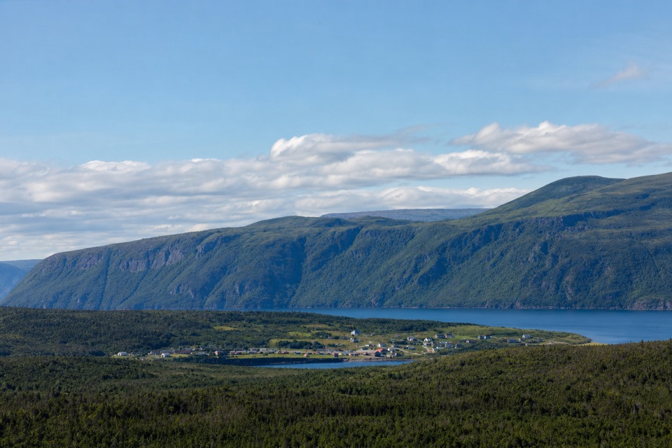 ModerateBerry Hill Trail1.5 km · 45 min · At the trailheadSteep little climb, wide views over ponds and coastal lowlands
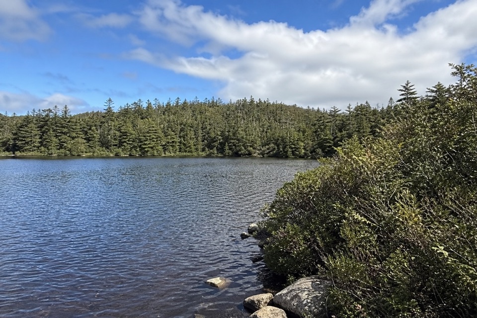 EasyLittle Pond Loop4.2 km · 1.5 hr · At the trailheadA wooded pond loop off Baker’s Brook’s waterfall trail.
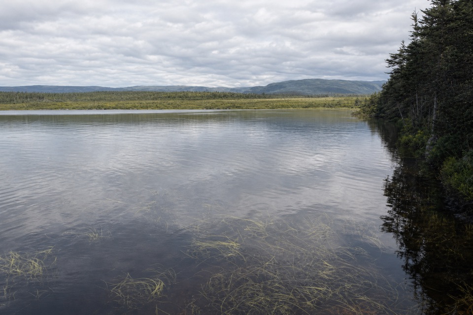 EasyBerry Head Pond Trail2 km · 45 min · 2.3 km awayA short boardwalk gives way to a quiet pond loop.
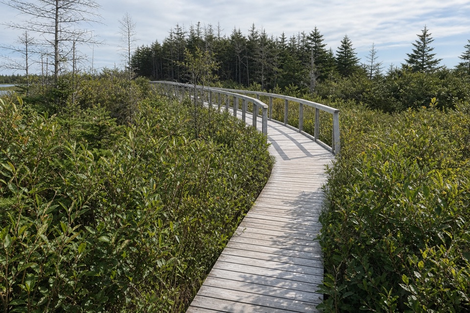 EasyBerry Head Pond Trail: Wheelchair Accessible Section0.7 km · 20 min · 2.3 km awayA short boardwalk opens onto pond and bogland views.
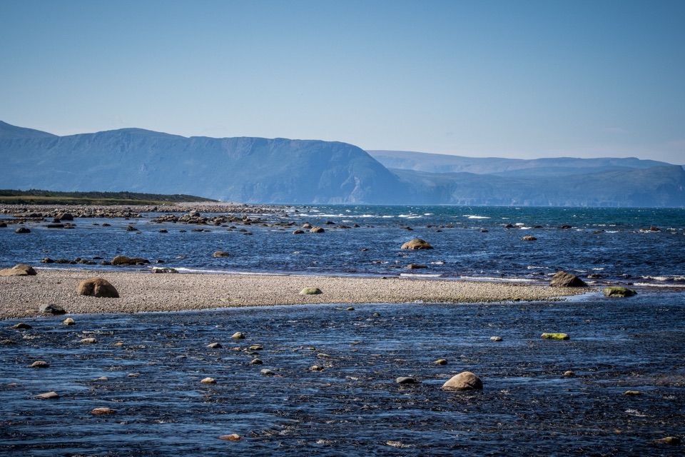 EasyCoastal Trail6 km · 1.5 hr · 4 km awayFollow the old mail road between cobble shore and wind-shaped tuckamore.
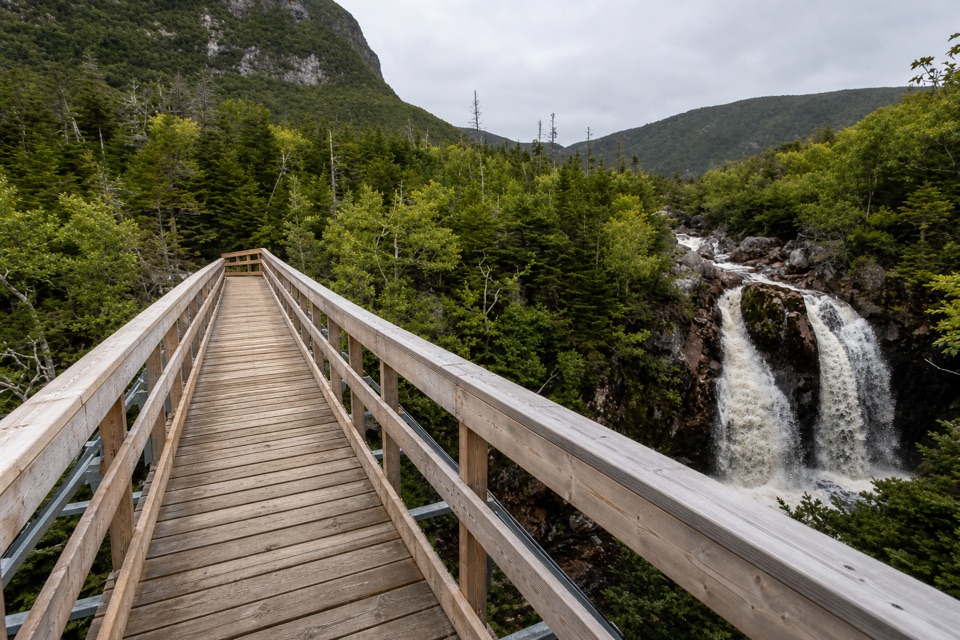 ModerateGros Morne Approach Trail9 km · 3 hr · 9.6 km awayA waterfall bridge marks the halfway point to the mountain’s base.
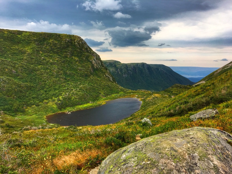 ChallengingGros Morne Mountain Trail17 km · 7.3 hr · 9.6 km awayWaterfalls, a bare alpine summit, and a boulder-strewn descent.
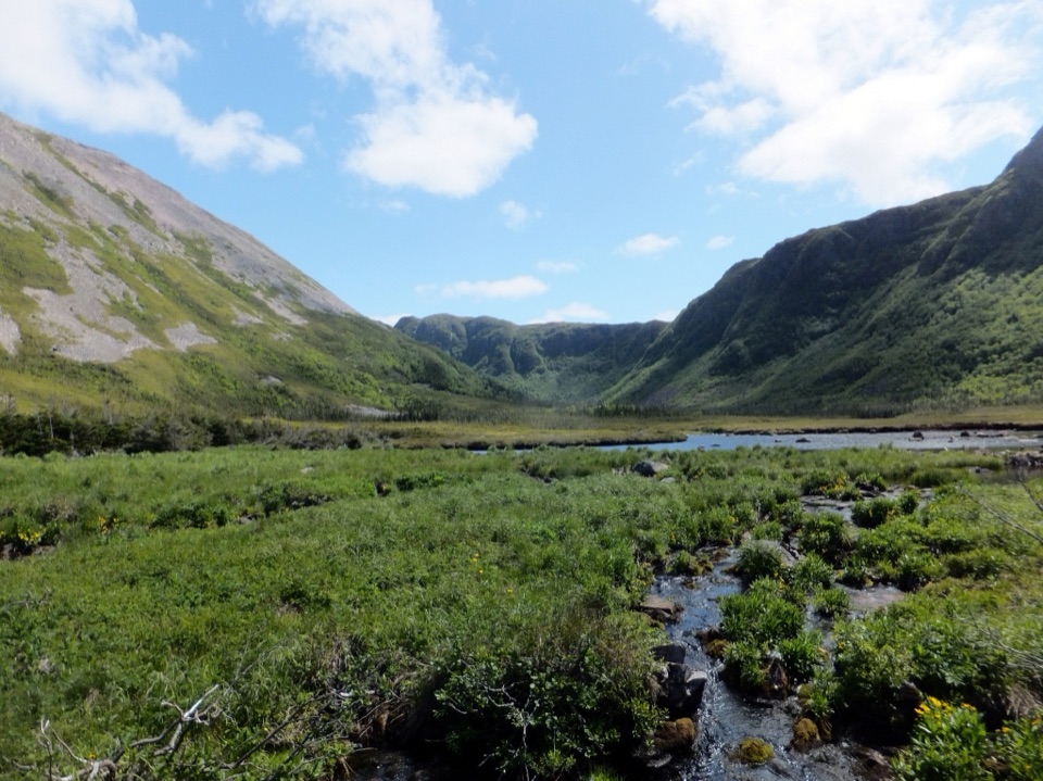 ChallengingFerry Gulch to Bakeapple Pond21 km · 2 days · 9.6 km awayTwo days of unmarked hiking to a view over Ten Mile Pond.
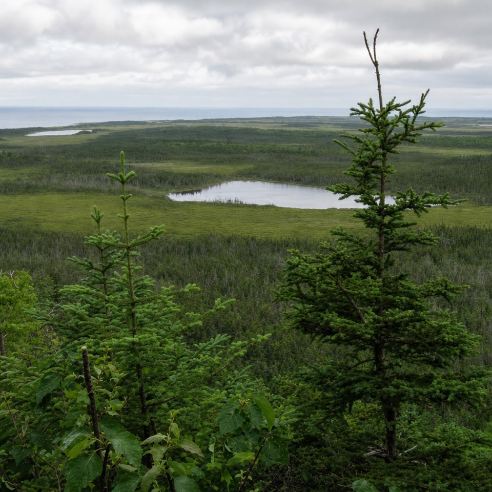 Sight · 0.2 km awayBerry Hill LookoutA steep short climb opens onto ponds, bogs and distant mountain views.
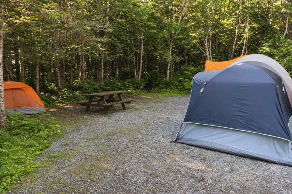 Campground · 0.4 km awayBerry Hill CampgroundTwo short trails start at camp, including a viewpoint over the lowlands.
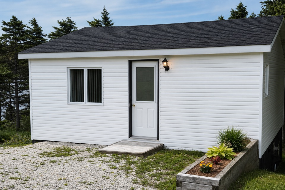 Store · 2.8 km awayGros Morne Crafts & Oceanside CottageFind local pottery, carvings, knitwear and stained glass.
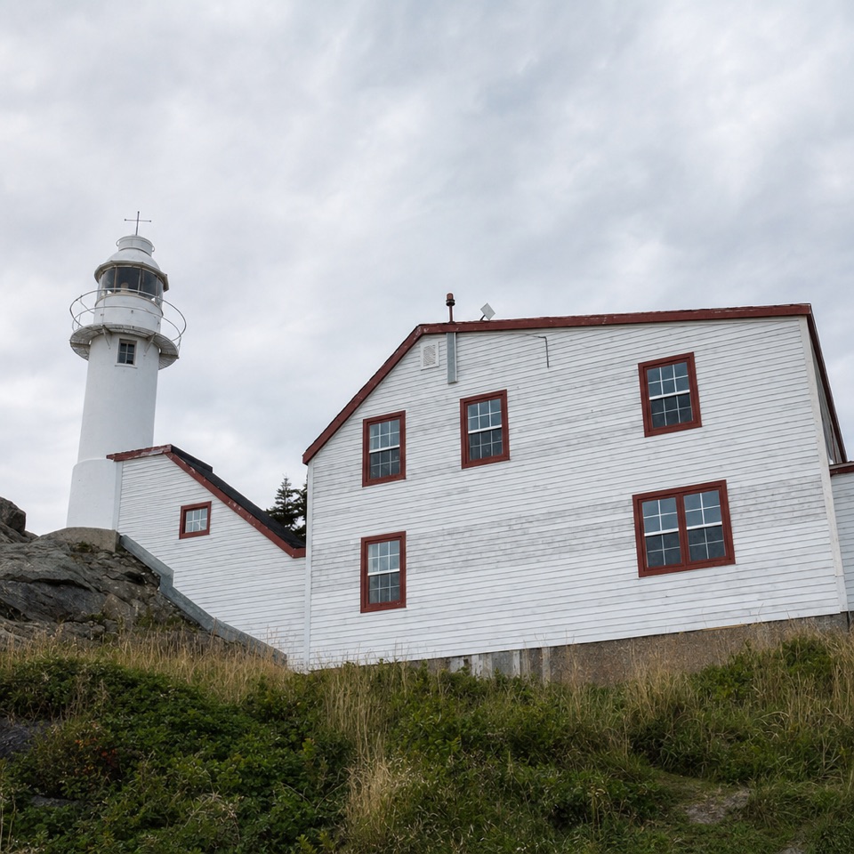 Sight · 3 km awayLobster Cove Head LighthouseA historic lighthouse, keeper’s stories and a rugged stretch of coast.
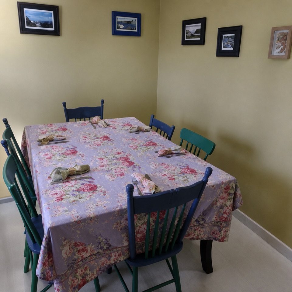 Restaurant · 3.5 km awayJava Jack's Restaurant & GalleryNewfoundland fare and local art in one Rocky Harbour meal.
 Food · 3.5 km awaySweet Rock Ice Cream & Aunt Sarah's Chocolate ShopNewfoundland flavours and chocolates make this more than a scoop stop.
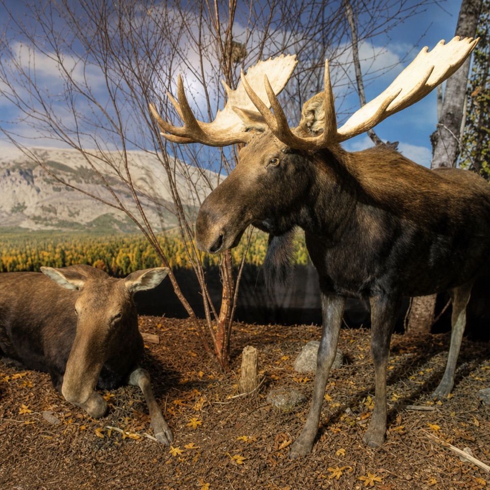 Sight · 3.5 km awayGros Morne Wildlife MuseumOver 100 Newfoundland animals in lifelike habitat scenes.
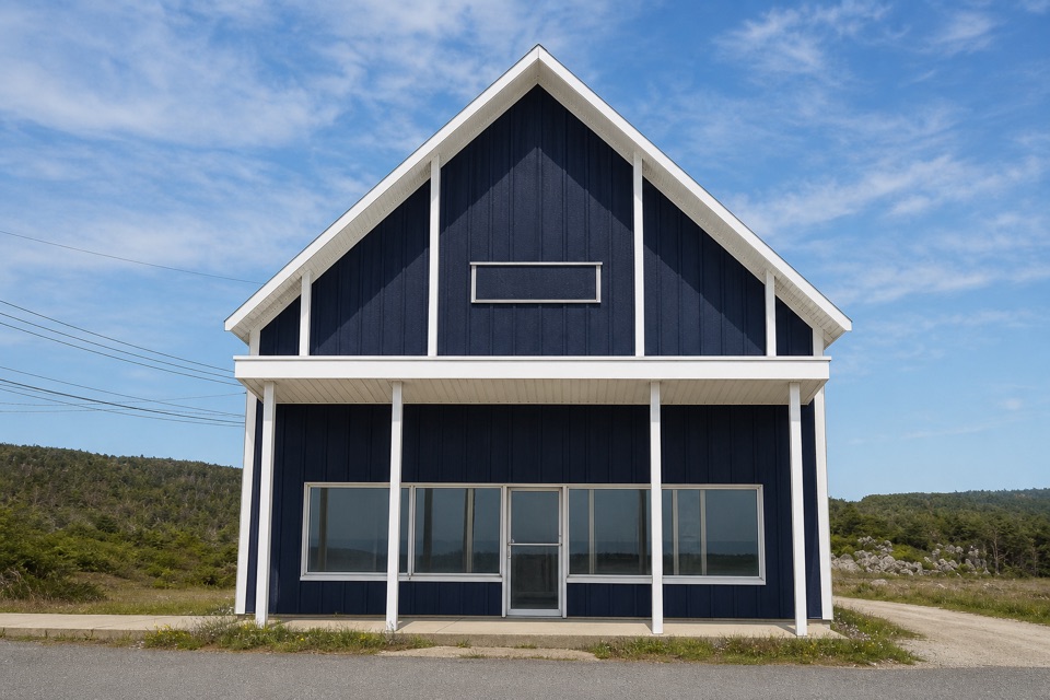 Store · 3.6 km awayTreasure BoxA long-running craft stop for Newfoundland knits and stained glass
Parkwolf’s Gros Morne ranking

The audio tour guide for the drive, plus offline maps, trails, and wildlife heatmaps for when the signal drops.