Parking
Start at the Gros Morne Mountain Trailhead parking area on Route 430; arrange and collect the required permits before leaving for the backcountry.
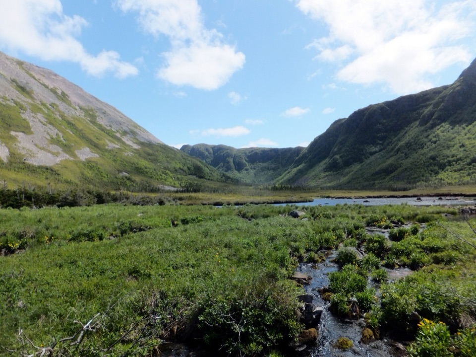
Gros Morne National Park, NL
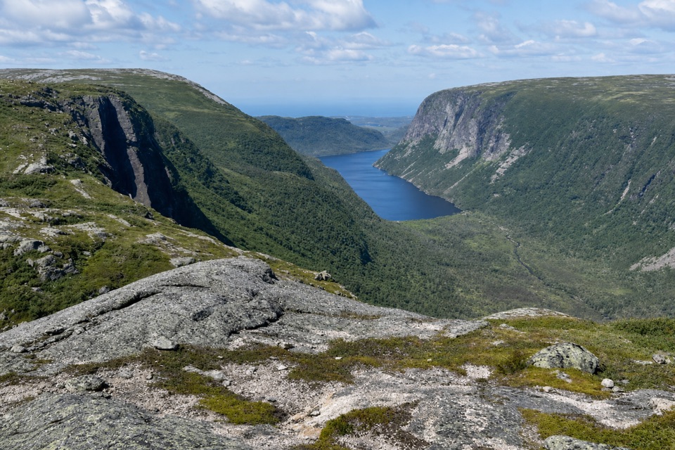
Two days of unmarked hiking to a view over Ten Mile Pond.
Overview
Map & elevation
Plan your hike

The highest, rockiest slopes around here are a summer buffet for grizzly bears.
Gros Morne Tour Guide
Parkwolf is a GPS audio tour guide for Gros Morne National Park. As you drive, it chimes in with what’s ahead: hidden gems, upcoming stops, history, geology, and wildlife, right through your car’s speakers.
Recorded for this area
Gros Morne Mountain Trailhead“Up ahead is the Gros Morne Mountain trailhead, the start of a serious seventeen-kilometre summit hike. Allow six to eight and a half hours for the steep scree climb, exposed plateau and long boulder descent.”
Plays on the road 0.1 km from the trailhead in the Parkwolf Gros Morne Tour Guide.
More stories near here in the app
“Fantastic app with many points of information… It’s great to just turn on while you’re driving and it gives you an audio tour of the national Park. We love it!!!!”


Trail guide
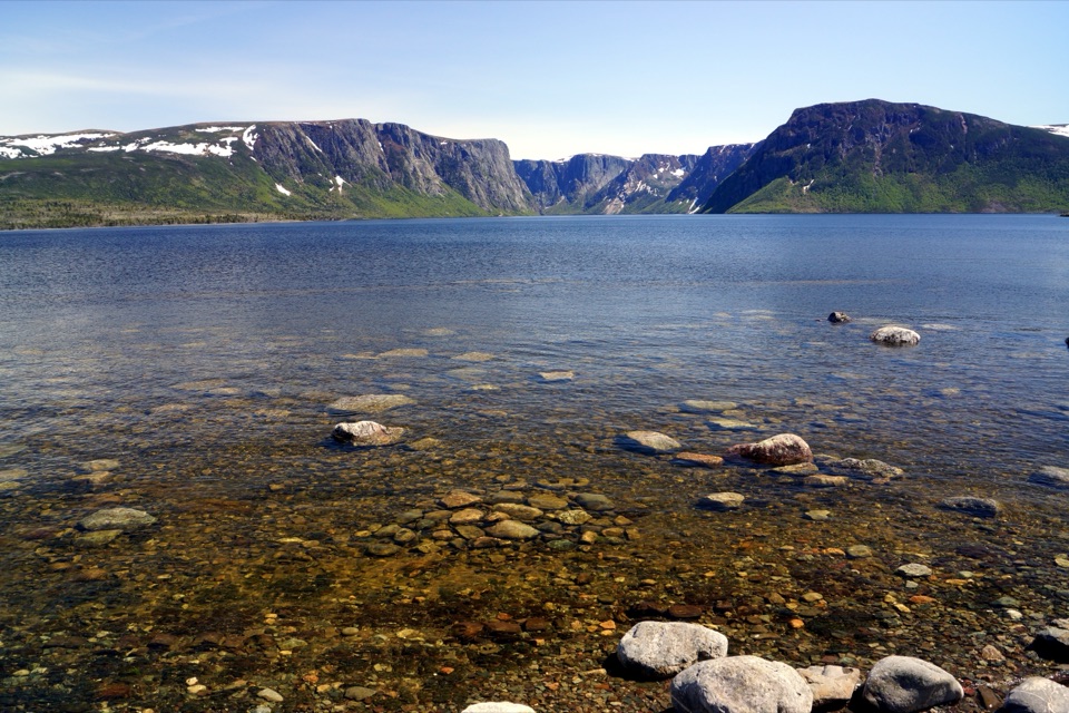
Ferry Gulch to Bakeapple Pond is a 21 km return route from Gros Morne Mountain trailhead, spread across two days with a night at Ferry Gulch. The approach follows the established mountain trail before turning off toward camp; the second leg continues onto the Long Range plateau to Bakeapple Pond and a view over Ten Mile Pond, then returns the same way. Expect about 1,240 m of climbing across the full itinerary. This is strenuous backcountry travel for hikers who are fit, have overnight experience, and can find a route without signs. The distance alone is not the commitment: you carry camp, spend a night out, and follow unmarked ground at elevation. Plan the overnight before leaving town. If what you want is a marked mountain day hike, the Gros Morne Mountain summit trail is a separate option, but it does not reach Bakeapple Pond.
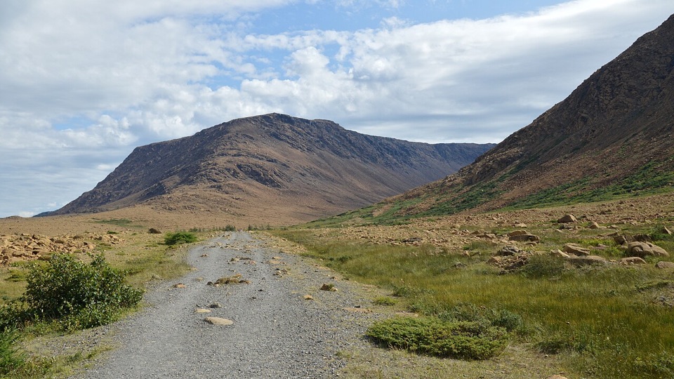
Start at the Gros Morne Mountain Trailhead parking area on Route 430. Follow the established mountain trail roughly 4 km to the base, then take the branch to the right toward Ferry Gulch. The route map puts camp about 7.7 km from the car park and shows around 680 m of climbing and 140 m descending on this approach. Reaching camp is only the first day's work: the next day's unmarked trip adds a long climb over backcountry ground. Ferry Gulch is primitive, but has wooden tent pads, a food locker and pit toilet. Campfires are prohibited, so carry a stove. Reserve this campsite before setting out and bring all food for both days. The itinerary allows one or two nights at camp; a second night can leave room for a weather delay.
From camp, follow the Gros Morne Mountain trail east to the far end of the small pond at LR-15. Leave the maintained trail there. A series of game paths heads northeast about 500 m across Ferry Gulch to LR-14b; from there, a path climbs south through a small elevated valley. Stay on its west side as you gain the Long Range plateau, then follow the beaten path east to Bakeapple Pond. This is a route to navigate, not a marked footpath: previous hikers’ tracks can be hard to tell from animal paths. The viewpoint looks over Ten Mile Pond, with Bakeapple Pond nearby. Include some of Bakeapple Pond in front of the wider water beyond for a photo that shows both scales. Retrace the same way to Ferry Gulch and back to the trailhead; don't connect this trip to the full Long Range Traverse or the mountain summit route.
The route is offered only in the summer backcountry season; check the dates for your year. Ferry Gulch must be reserved, and hikers need both a primitive-camping permit and a national-park entry permit for the full stay. Pick them up before walking out; confirm the current collection cutoff and location when you make the booking. Strong fitness, backcountry experience and wilderness navigation skills are essential. Low cloud makes the unmarked plateau route hard to follow, so leave camp for Bakeapple only when visibility is good, and carry a map, compass and GPS you know how to use. Pets may accompany this route on leash, but are not permitted on the Gros Morne summit. The optional summit excursion from camp is about two hours return; it is a separate outing and adds to the effort.
Wildlife
 252 sightingsMooseMost seen around 7 AMSighting map
 120 sightingsCaribouMost seen around 7 AMSighting map
 22 sightingsBlack BearMost seen around 7 PMSighting map
 61 sightingsBald EagleMost seen around 7 AMSighting map
 11 sightingsCommon Minke WhaleMost seen around noonSighting map
 70 sightingsHarbor SealMost seen around noonSighting map
Sighting maps show where each species has been reported across Gros Morne. Wildlife moves, so no sighting is guaranteed.
Keep exploring
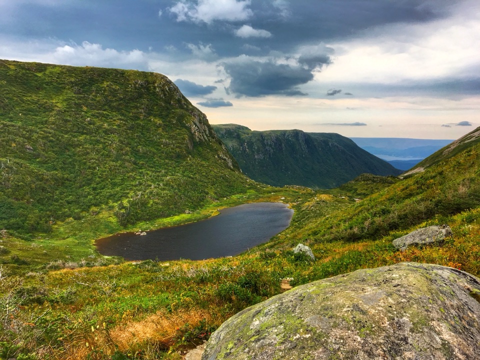 ChallengingGros Morne Mountain Trail17 km · 7.3 hr · At the trailheadWaterfalls, a bare alpine summit, and a boulder-strewn descent.
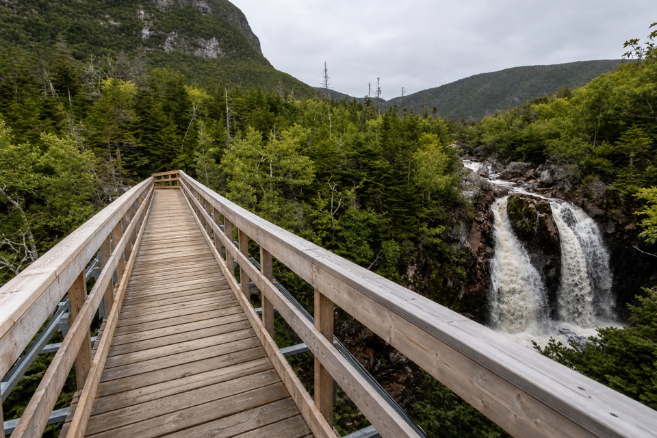 ModerateGros Morne Approach Trail9 km · 3 hr · At the trailheadA waterfall bridge marks the halfway point to the mountain’s base.
 EasyMattie Mitchell Trail0.3 km · 15 min · 0.7 km awayShort woods loop to a quiet brook and local history.
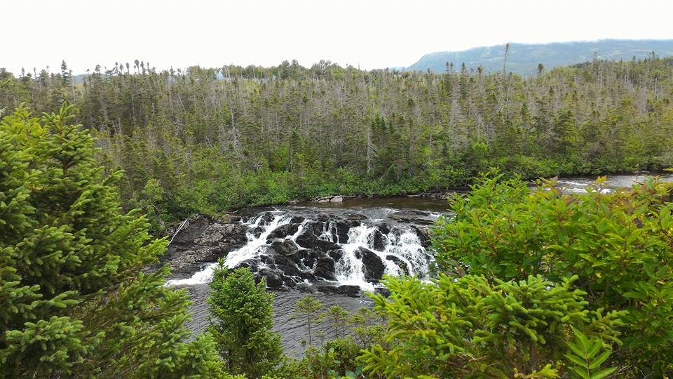 ModerateBaker's Brook Falls Trail10 km · 2.5 hr · 9.6 km awayA quiet forest walk ends at limestone staircase cascades.
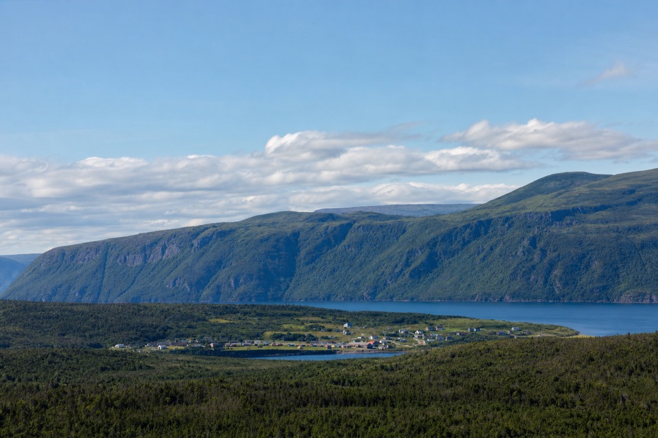 ModerateBerry Hill Trail1.5 km · 45 min · 9.6 km awaySteep little climb, wide views over ponds and coastal lowlands
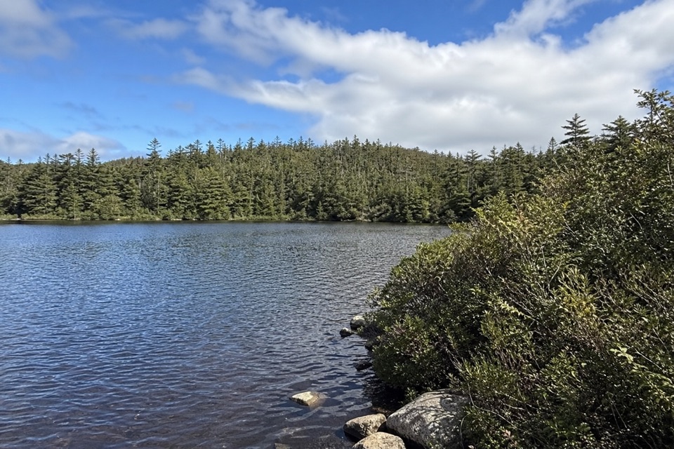 EasyLittle Pond Loop4.2 km · 1.5 hr · 9.6 km awayA wooded pond loop off Baker’s Brook’s waterfall trail.
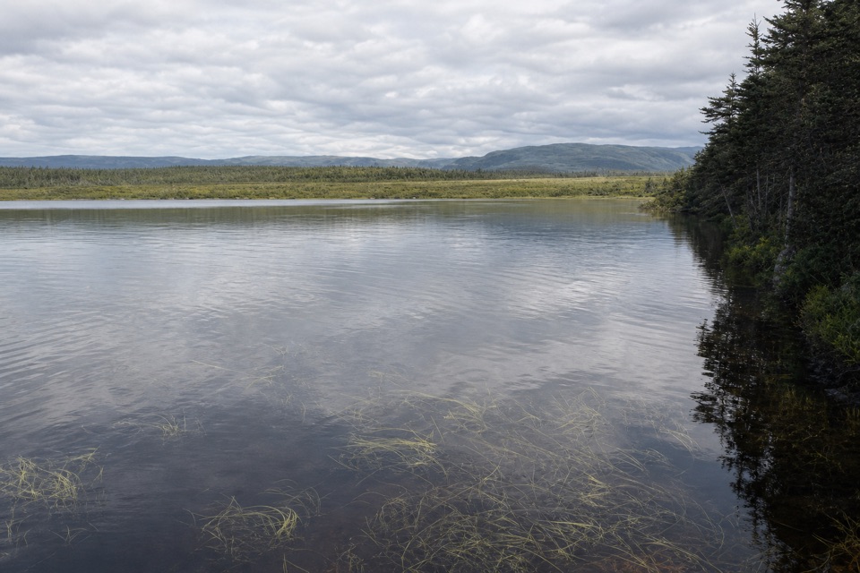 EasyBerry Head Pond Trail2 km · 45 min · 11.9 km awayA short boardwalk gives way to a quiet pond loop.
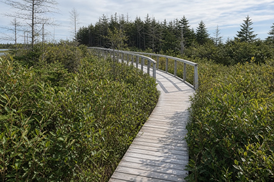 EasyBerry Head Pond Trail: Wheelchair Accessible Section0.7 km · 20 min · 11.9 km awayA short boardwalk opens onto pond and bogland views.
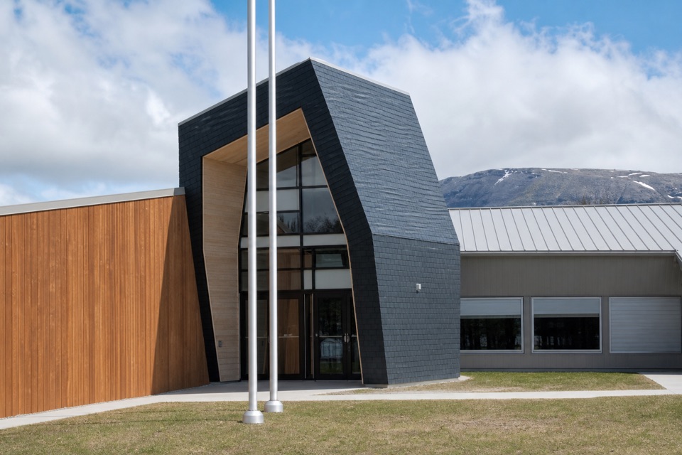 Visitor center · 3.2 km awayGros Morne National Park Visitor CentrePlan hikes and park stops with staff, maps and local displays
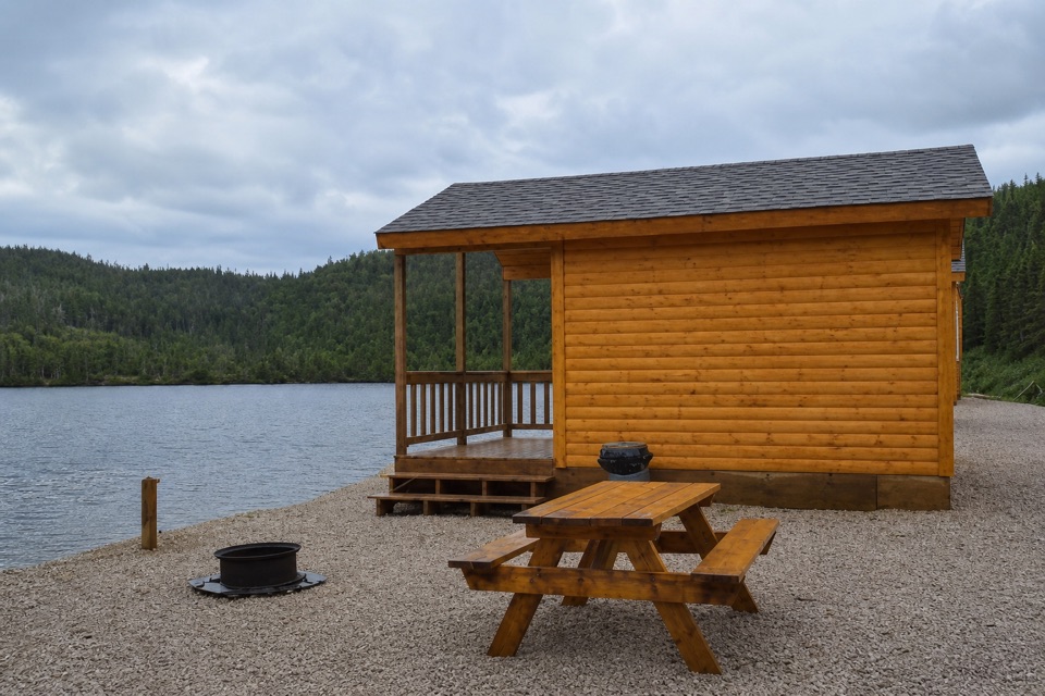 Campground · 3.2 km awayGros Morne / Norris Point KOA HolidayA lakeside campground with cabins and a short walk along the shore.
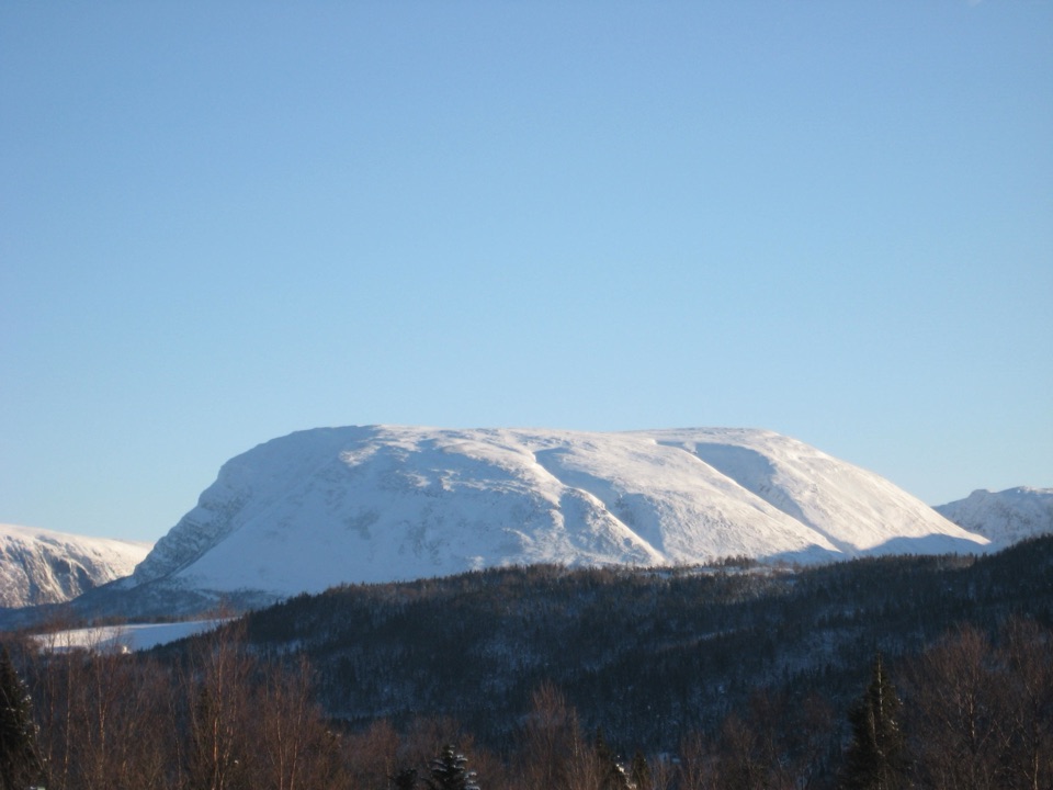 Sight · 4.7 km awayGros Morne MountainA demanding summit hike to Arctic-alpine tundra and big views.
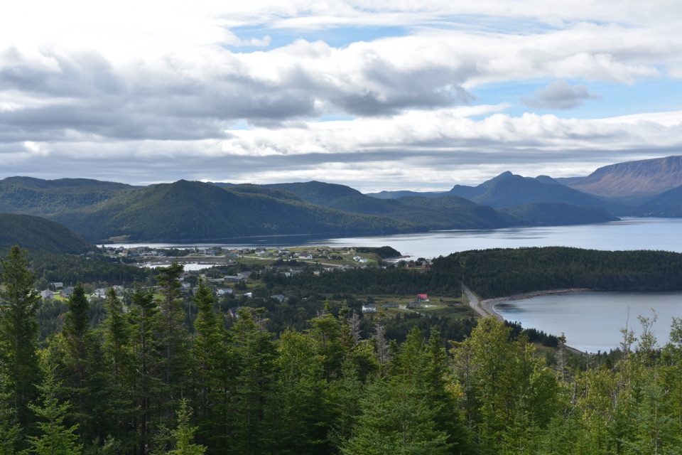 Sight · 4.8 km awayJenniex HouseA 1926 saltbox moved over sea ice, now facing Bonne Bay.
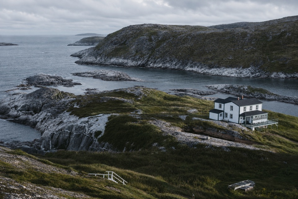 Lodging · 5 km awayNeddies Harbour InnA waterfront base with Bonne Bay views and dinner on site.
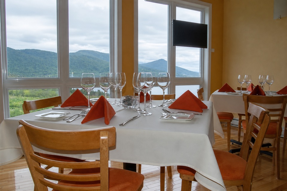 Restaurant · 5 km awayThe Black Spruce RestaurantScratch cooking and Newfoundland seafood at Neddies Harbour.
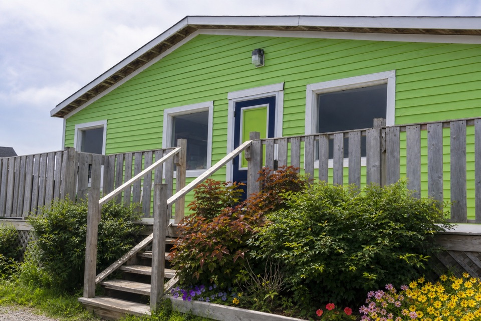 Restaurant · 5.7 km awayThe Old Store CaféCoffee, baked goods, and Tablelands views from a Norris Point café.
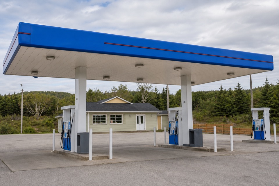 Gas station · 5.8 km awayIrving Oil Rocky HarbourA practical fuel stop as you pass through Rocky Harbour.
Parkwolf’s Gros Morne ranking

The audio tour guide for the drive, plus offline maps, trails, and wildlife heatmaps for when the signal drops.