Parking
Use McKittrick Canyon Trailhead. Its parking lot is across from the visitor center; the trail begins beyond the center.

Guadalupe Mountains National Park, TX
Four canyon miles, a steep climb, and no water at camp.
Overview
Map & elevation
Plan your hike

The highest, rockiest slopes around here are a summer buffet for grizzly bears.
Guadalupe Mountains Tour Guide
Parkwolf is a GPS audio tour guide for Guadalupe Mountains National Park. As you drive, it chimes in with what’s ahead: hidden gems, upcoming stops, history, geology, and wildlife, right through your car’s speakers.
Recorded for this area
McKittrick Canyon: A Walk to Pratt Cabin“McKittrick Canyon's trailhead is coming up. I'd choose the walk to Pratt Cabin, a stone summer home with a porch for a break. It's four point eight miles round trip, taking two to four hours on rocky ground.”
Plays on the road 0.2 mi from the trailhead in the Parkwolf Guadalupe Mountains Tour Guide.
More stories near here in the app
“Fantastic app with many points of information… It’s great to just turn on while you’re driving and it gives you an audio tour of the national Park. We love it!!!!”


Trail guide
McKittrick Ridge Trail from McKittrick Canyon is a 15.2-mile out-and-back from McKittrick Canyon Trailhead to McKittrick Ridge Wilderness Campground. The first four miles follow South McKittrick Canyon’s floor before the trail climbs 2,380 feet in about two miles and continues along the ridge. Give the return 8–12 hours; this is very strenuous, and the park recommends staying overnight. Choose it for a hard backcountry hike and a night in the high country, not a relaxed canyon stroll.
The lower canyon is a gentler start than the climb ahead. Pratt Cabin is 2.3 miles from the trailhead, and the Grotto is another 1.1 miles beyond. They make worthwhile shorter turnarounds if you don’t want the ridge commitment. The canyon floor passes through several environments beside an otherwise arid landscape. Century plants and prickly pear grow in the dry surroundings; stay on the trail and out of the water to protect the canyon habitat.
The Notch sits roughly halfway to the ridge campground and opens views in both directions along the canyon. The steep ascent follows, gaining 2,380 feet in about two miles. The park calls this its steepest trail, and false summits can make the ridge seem close before you reach it. Save enough time and energy for the long descent back through the canyon.
Once you gain the ridge, the view opens into South McKittrick Canyon and across the bordering ridges. The route’s turnaround is McKittrick Ridge Wilderness Campground, about 7.6 miles from the start. It has eight walk-in tent sites and no water. Carry all the water you’ll need for the hike or overnight; there’s no source at camp. The park recommends an overnight, which leaves time to rest and see the ridge night sky.
Fall color brings many visitors, often in late October or early November, though the timing varies each year. Red, yellow, and brown leaves stand out against the canyon’s arid surroundings. At The Notch, take time to look both ways down South McKittrick Canyon; it’s the route’s main viewpoint and a good place to show how the canyon walls close around the floor.
This is the McKittrick Canyon start, not the separate 14.8-mile Dog Canyon out-and-back or the longer through-route to Tejas. The trailhead is beyond the visitor center, across from its parking lot. McKittrick Canyon is day use and the gate closes at 5 p.m. Mountain Time, so day hikers must be back out before then. No reservation is needed for a day hike; overnight camping requires a Wilderness Use Permit. Pets aren’t allowed on park trails except trained service animals.
Wildlife
 33 sightingsAoudadMost seen around 6 AMSighting map
 162 sightingsMule DeerMost seen around 6 AMSighting map
 11 sightingsWild TurkeyMost seen around 7 AMSighting map
 34 sightingsCollared PeccaryMost seen around 7 AMSighting map
 37 sightingsDiamondback RattlesnakeMost seen around 6 PMSighting map
 42 sightingsBlack-tailed RattlesnakeMost seen around 7 PMSighting map
Sighting maps show where each species has been reported across Guadalupe Mountains. Wildlife moves, so no sighting is guaranteed.
Keep exploring
 ModerateThe Grotto and Hunter Line Shack7 mi · 4 hr · At the trailheadA seven-mile canyon walk to shaded stone seats and ranch history.
 ChallengingMcKittrick Canyon Trail to The Notch9 mi · 6 hr · At the trailheadGentle canyon miles lead to a steep, rocky climb to the Notch.
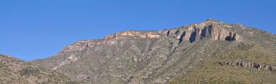 ChallengingPermian Reef Trail9.6 mi · 6 hr · At the trailheadFossil markers reward the steep climb to ridge and canyon views.
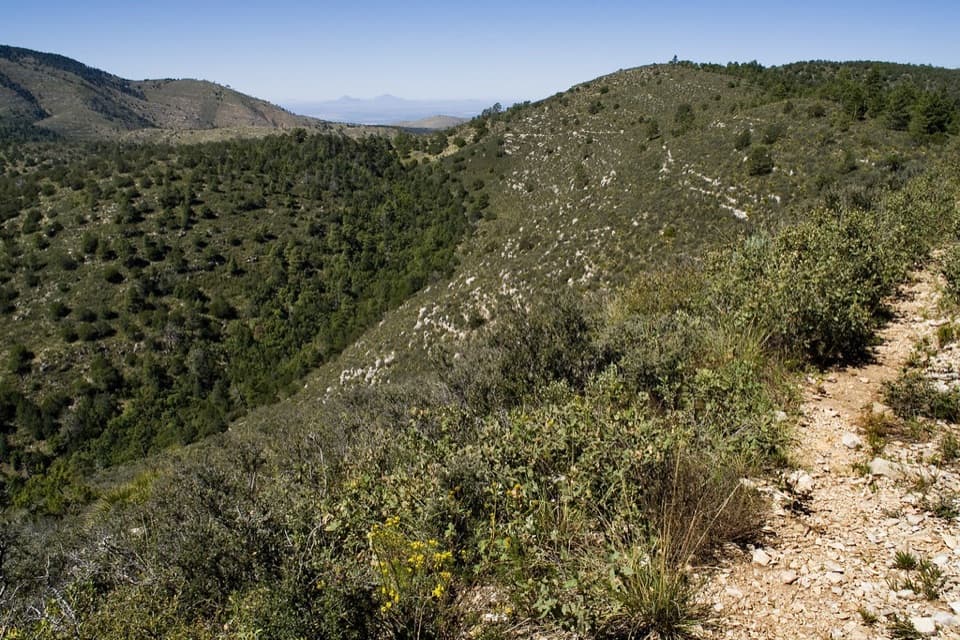 ChallengingMcKittrick Canyon to Dog Canyon15 mi · 10 hr · At the trailheadA canyon climb, a high ridge, and a finish in Dog Canyon.
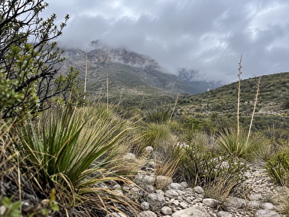 ModerateMcKittrick Canyon Nature Trail0.9 mi · 1 hr · At the trailheadA compact desert loop for geology, junipers and a canyon view.
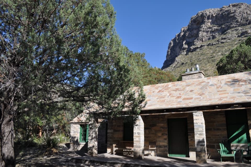 ModeratePratt Cabin Trail4.8 mi · 3 hr · At the trailheadA 4.8-mile canyon walk to a historic stone cabin
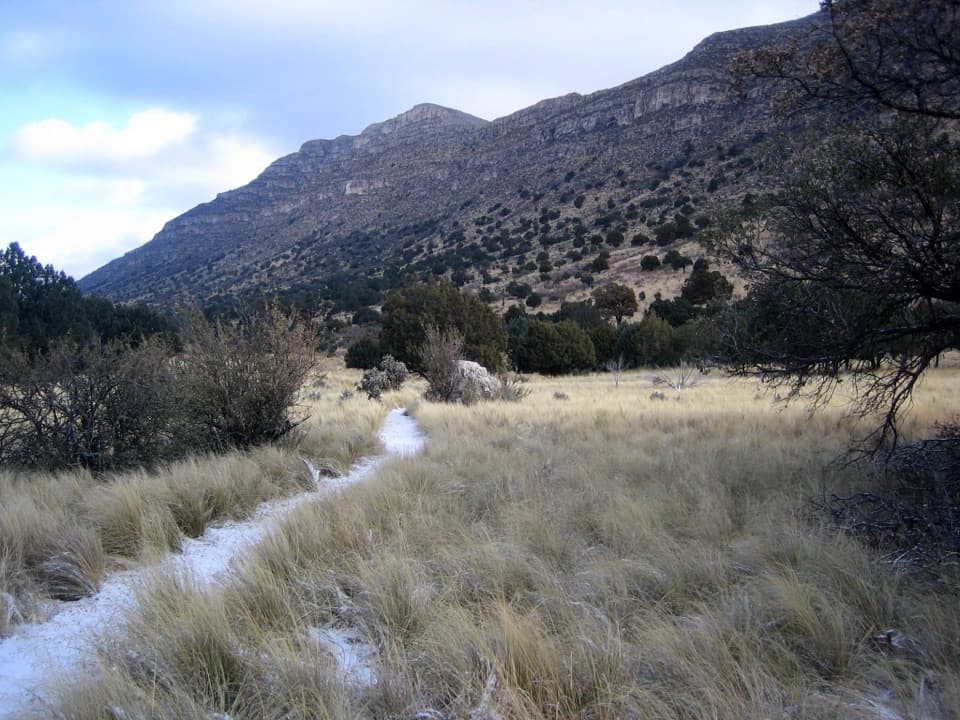 EasyIndian Meadow Nature Trail0.8 mi · 38 min · 4.9 mi awayA short nature loop through Dog Canyon's varied habitats.
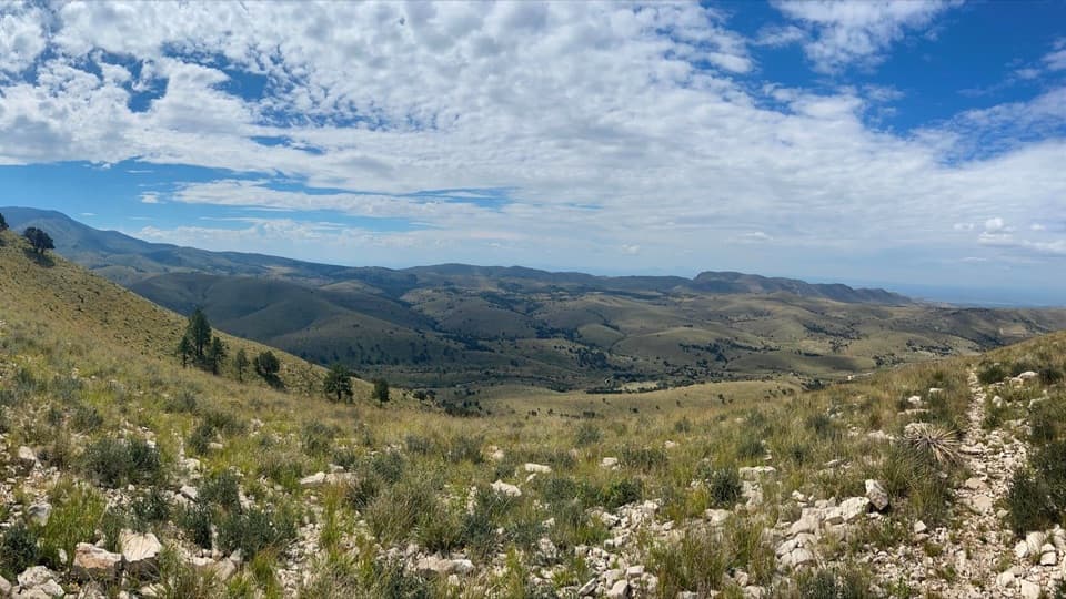 ModerateMarcus Overlook5.2 mi · 4 hr · 4.9 mi awayA rocky high-country hike to broad southern and western views.
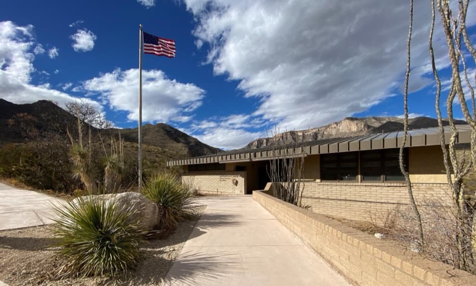 Visitor center · At the trailheadMcKittrick Canyon Contact StationA practical starting point for McKittrick Canyon’s trail.Sight · 1.7 mi awayPratt CabinA stone cabin built with limestone hauled by pickup and horse-drawn sled.
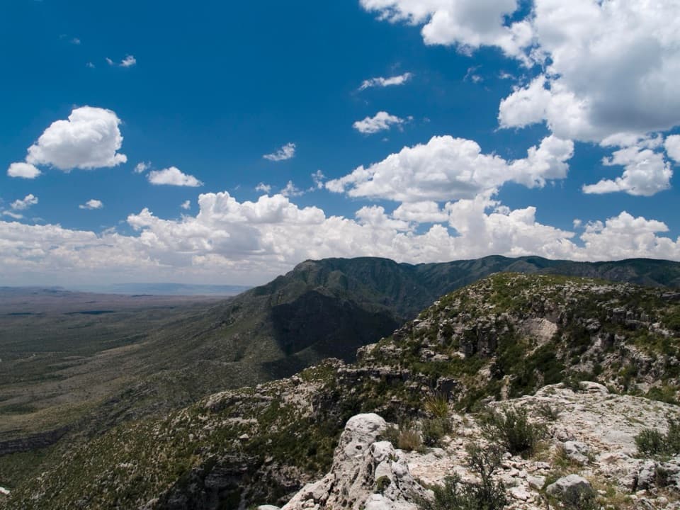 Campground · 1.8 mi awayWilderness Ridge Wilderness CampgroundA five-pad backcountry camp at the end of a 2,000-foot climb.Sight · 2.2 mi awayThe GrottoA shady cave-like picnic stop halfway up McKittrick Canyon.
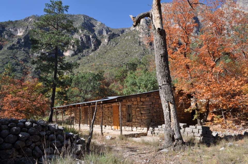 Sight · 2.2 mi awayHunter Line ShackA stone ranching shack at the end of a 7-mile round trip.Sight · 2.5 mi awayThe NotchA tough hike reaches the ridge's window into South McKittrick Canyon.
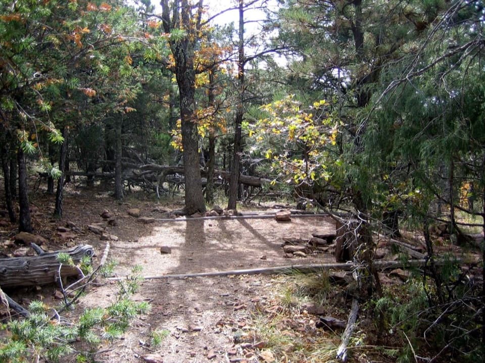 Campground · 3.3 mi awayMcKittrick Ridge Wilderness CampgroundEight remote tent sites on the ridge, reached by a steep backpack.
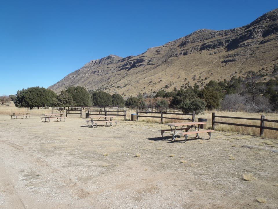 Campground · 4.9 mi awayDog Canyon CampgroundA quiet northern base for hikes into the park's high country.
Parkwolf’s Guadalupe Mountains ranking

The audio tour guide for the drive, plus offline maps, trails, and wildlife heatmaps for when the signal drops.



