1 active Guadalupe Mountains alert
- CautionDevil’s Hall wash dangerous when wetThe Devil’s Hall hike is strenuous, and its wash section is dangerous when wet or if water is present. - The wash requires rock scrambling.Official details
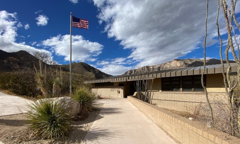
Visitor center · Guadalupe Mountains National Park
A practical starting point for McKittrick Canyon’s trail.
Overview
Map
Plan your stop

The highest, rockiest slopes around here are a summer buffet for grizzly bears.
Guadalupe Mountains Tour Guide
Parkwolf is a GPS audio tour guide for Guadalupe Mountains National Park. As you drive, it chimes in with what’s ahead: hidden gems, upcoming stops, history, geology, and wildlife, right through your car’s speakers.
Recorded for this place
McKittrick Canyon: A Walk to Pratt Cabin“McKittrick Canyon's trailhead is coming up. I'd choose the walk to Pratt Cabin, a stone summer home with a porch for a break. It's four point eight miles round trip, taking two to four hours on rocky ground.”
Plays as you drive up to McKittrick Canyon Contact Station in the Parkwolf Guadalupe Mountains Tour Guide.
More stories near here in the app
“Fantastic app with many points of information… It’s great to just turn on while you’re driving and it gives you an audio tour of the national Park. We love it!!!!”


Guide
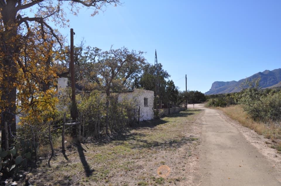
McKittrick Canyon Contact Station is a small information stop at the mouth of McKittrick Canyon, about seven miles north of Pine Springs Visitor Center. Pick up a brochure or look at the outdoor exhibits and video, then walk through the building’s breezeway to reach the canyon trailhead. It’s a worthwhile stop before a hike, but staffing is intermittent; this isn’t the park’s main visitor center.
There’s parking for cars and buses or RVs, a picnic table, and accessible flush restrooms. Restrooms stay open daily even when the station isn’t staffed. A bottle-filling station and potable water are listed here, but reports conflict on availability, so carry enough water rather than plan on a refill before walking into the canyon.
McKittrick Canyon is for day use, and the entrance gate on US 62/180 locks each evening. Check the current schedule and leave enough time to be back out before closing.
The canyon is known for fall color, usually in late October and early November, when reds, yellows, and deep browns stand out against the arid Chihuahuan Desert. Those colors are along the canyon trail, not at the contact station itself; treat this as a trailhead and a place to get oriented, not a drive-up viewpoint.
Wildlife
 33 sightingsAoudadMost seen around 6 AMSighting map
 162 sightingsMule DeerMost seen around 6 AMSighting map
 11 sightingsWild TurkeyMost seen around 7 AMSighting map
 34 sightingsCollared PeccaryMost seen around 7 AMSighting map
 37 sightingsDiamondback RattlesnakeMost seen around 6 PMSighting map
 42 sightingsBlack-tailed RattlesnakeMost seen around 7 PMSighting map
Sighting maps show where each species has been reported across Guadalupe Mountains. Wildlife moves, so no sighting is guaranteed.
Keep exploring
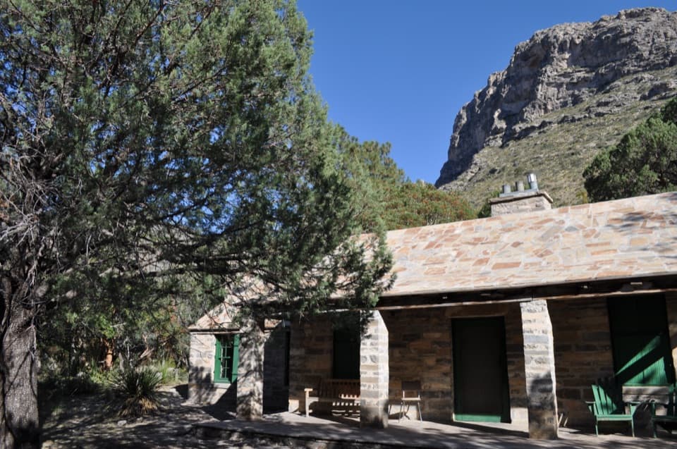 ModeratePratt Cabin Trail4.8 mi · 3 hr · At the trailheadA 4.8-mile canyon walk to a historic stone cabin
 ModerateThe Grotto and Hunter Line Shack7 mi · 4 hr · At the trailheadA seven-mile canyon walk to shaded stone seats and ranch history.
 ChallengingMcKittrick Canyon Trail to The Notch9 mi · 6 hr · At the trailheadGentle canyon miles lead to a steep, rocky climb to the Notch.
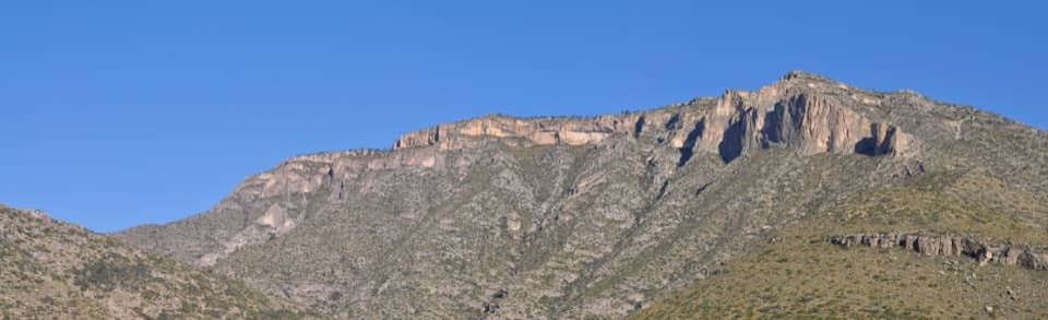 ChallengingPermian Reef Trail9.6 mi · 6 hr · At the trailheadFossil markers reward the steep climb to ridge and canyon views.
 ChallengingMcKittrick Ridge Trail from McKittrick Canyon15.2 mi · 10 hr · At the trailheadFour canyon miles, a steep climb, and no water at camp.
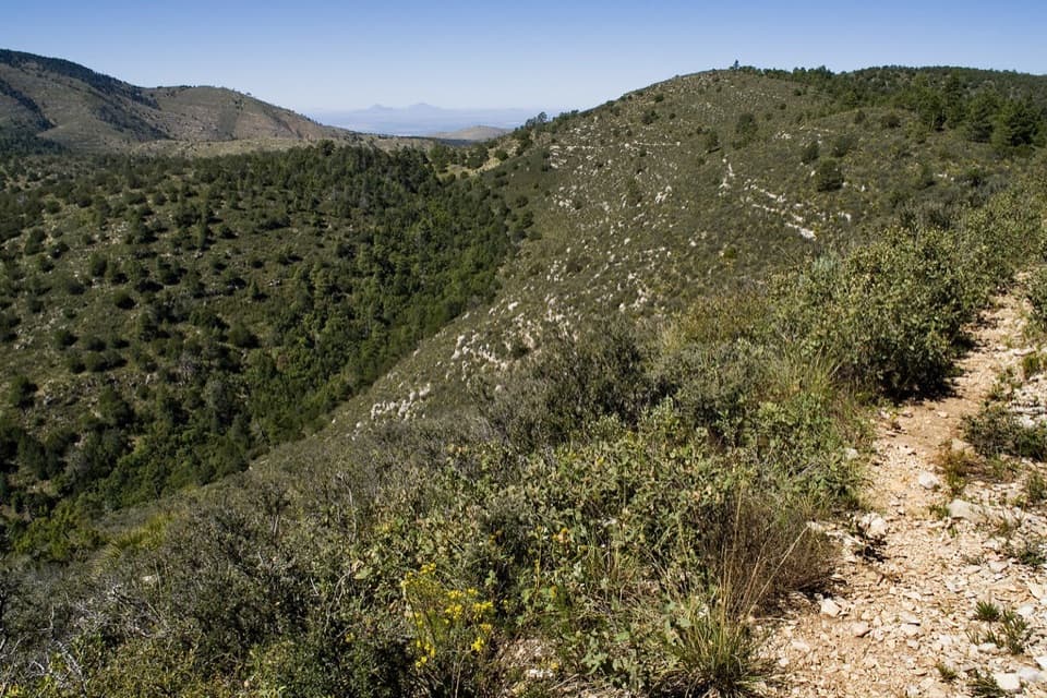 ChallengingMcKittrick Canyon to Dog Canyon15 mi · 10 hr · At the trailheadA canyon climb, a high ridge, and a finish in Dog Canyon.
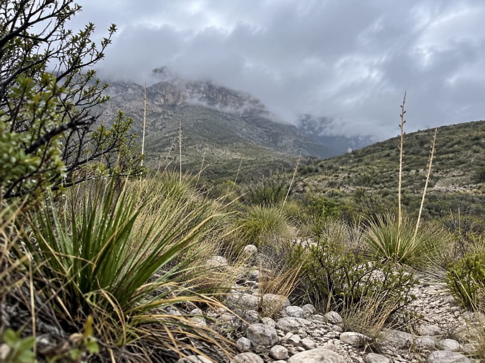 ModerateMcKittrick Canyon Nature Trail0.9 mi · 1 hr · At the trailheadA compact desert loop for geology, junipers and a canyon view.
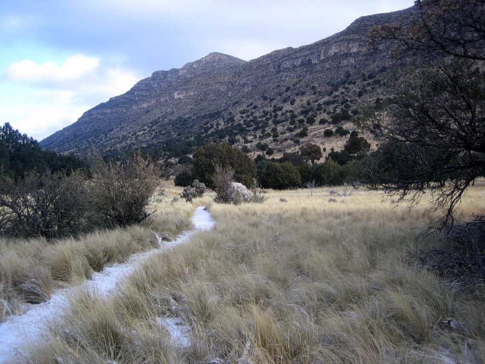 EasyIndian Meadow Nature Trail0.8 mi · 38 min · 4.9 mi awayA short nature loop through Dog Canyon's varied habitats.Sight · 1.7 mi awayPratt CabinA stone cabin built with limestone hauled by pickup and horse-drawn sled.
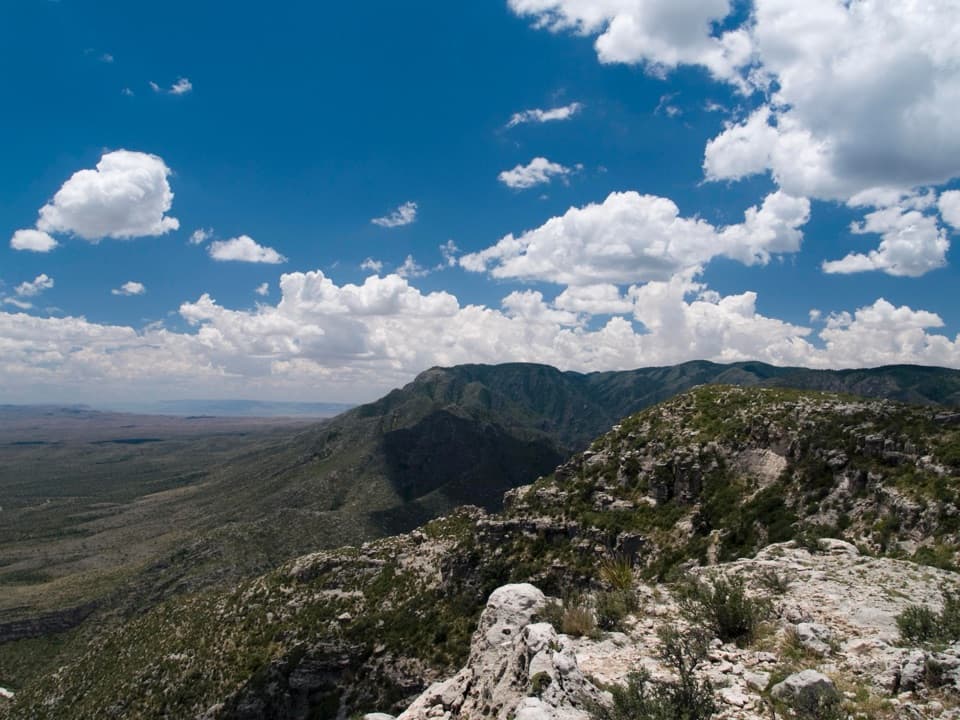 Campground · 1.8 mi awayWilderness Ridge Wilderness CampgroundA five-pad backcountry camp at the end of a 2,000-foot climb.Sight · 2.2 mi awayThe GrottoA shady cave-like picnic stop halfway up McKittrick Canyon.
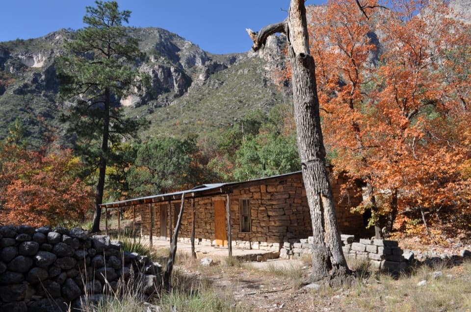 Sight · 2.2 mi awayHunter Line ShackA stone ranching shack at the end of a 7-mile round trip.Sight · 2.5 mi awayThe NotchA tough hike reaches the ridge's window into South McKittrick Canyon.
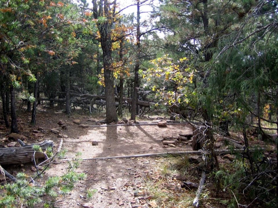 Campground · 3.3 mi awayMcKittrick Ridge Wilderness CampgroundEight remote tent sites on the ridge, reached by a steep backpack.
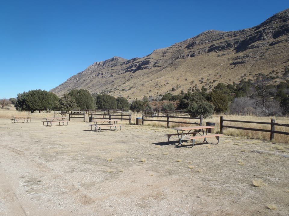 Campground · 4.9 mi awayDog Canyon CampgroundA quiet northern base for hikes into the park's high country.
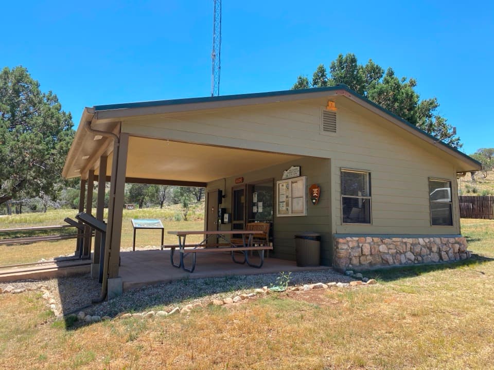 Visitor center · 4.9 mi awayDog Canyon Ranger StationA practical stop in the park’s remote northern district.
Parkwolf’s Guadalupe Mountains ranking

The audio tour guide for the drive, plus offline maps, trails, and wildlife heatmaps for when the signal drops.