Parking
Park at McKittrick Canyon Visitor Center. The signed trailhead is on the far side of the building from its parking lot. Restrooms and drinking water are available in the trailhead area.
#8 of 32 trails in Guadalupe Mountains
Guadalupe Mountains National Park, TX
A 4.8-mile canyon walk to a historic stone cabin
Overview
Pratt Cabin Trail is a moderate 4.8-mile out-and-back from McKittrick Canyon Trailhead to a historic stone home at the forks of the canyon. Plan on two to four hours. It is a satisfying day hike when you want a real destination without continuing farther up canyon to the Grotto or beyond. The 4.8 miles includes the return; the mapped line follows the shared trail corridor once.
 Parkwolf’s verdictIs this the hike for you?
Map & elevation
Plan your hike

The highest, rockiest slopes around here are a summer buffet for grizzly bears.
Guadalupe Mountains Tour Guide
Parkwolf is a GPS audio tour guide for Guadalupe Mountains National Park. As you drive, it chimes in with what’s ahead: hidden gems, upcoming stops, history, geology, and wildlife, right through your car’s speakers.
Recorded for this trailhead
McKittrick Canyon: A Walk to Pratt Cabin“McKittrick Canyon's trailhead is coming up. I'd choose the walk to Pratt Cabin, a stone summer home with a porch for a break. It's four point eight miles round trip, taking two to four hours on rocky ground.”
Plays as you drive up to this trailhead in the Parkwolf Guadalupe Mountains Tour Guide.
More stories near here in the app
“Fantastic app with many points of information… It’s great to just turn on while you’re driving and it gives you an audio tour of the national Park. We love it!!!!”


Trail guide
The route stays low in McKittrick Canyon, on rough tread described as loose or hardened rock. You follow the wash toward the upper canyon and cross its stream before reaching the cabin. Allow for one or two crossings; descriptions differ on the count. At the wash, pause to pick out the established path on the far bank instead of continuing upstream on the gravel bed. Hiking poles can help on the uneven surface.
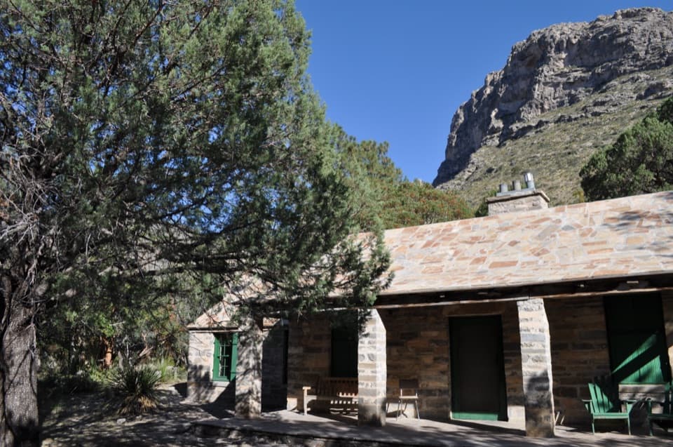
Wallace Pratt's stone cabin and its outbuildings sit where the canyon's north and south forks meet. The porch and picnic area make a natural place to rest before turning back. The cabin interior is open only when a ranger or volunteer is present, so treat it as a bonus rather than the reason to hike. There is no restroom at the cabin.
The Pratts used the cabin as a summer home after it was built over the winter of 1931–32. Its limestone came from a quarry about 4.5 miles away, and stonemason Adolph May laid the distinctive stonework. Wallace Pratt, a geologist, donated more than 5,000 acres including the cabin to the National Park Service in 1963; the park was established in 1972.
Park at McKittrick Canyon Visitor Center; the signed trailhead is on the other side of the building from the parking lot. Restrooms and drinking water are available at the trailhead area, but not at the cabin. This is a day-use area: finish and exit before the canyon gate closes at 5 p.m. Mountain Time. Pets are not allowed on park trails.
Wildlife
 33 sightingsAoudadMost seen around 6 AMSighting map
 162 sightingsMule DeerMost seen around 6 AMSighting map
 11 sightingsWild TurkeyMost seen around 7 AMSighting map
 34 sightingsCollared PeccaryMost seen around 7 AMSighting map
 37 sightingsDiamondback RattlesnakeMost seen around 6 PMSighting map
 42 sightingsBlack-tailed RattlesnakeMost seen around 7 PMSighting map
Sighting maps show where each species has been reported across Guadalupe Mountains. Wildlife moves, so no sighting is guaranteed.
Keep exploring
 ModerateThe Grotto and Hunter Line Shack7 mi · 4 hr · At the trailheadA seven-mile canyon walk to shaded stone seats and ranch history.
 ChallengingMcKittrick Canyon Trail to The Notch9 mi · 6 hr · At the trailheadGentle canyon miles lead to a steep, rocky climb to the Notch.
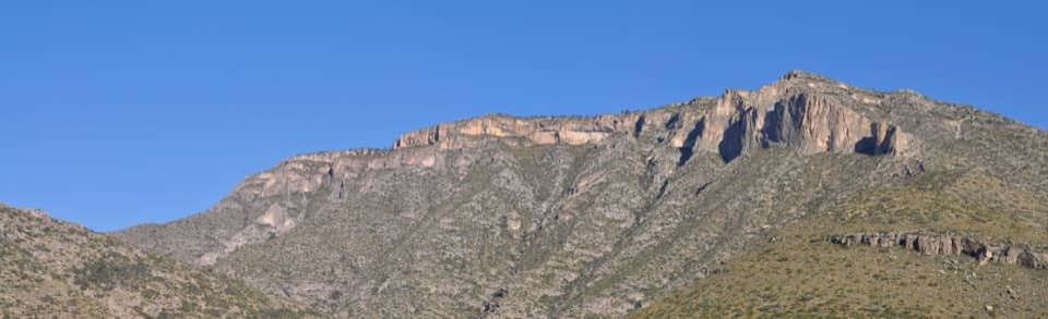 ChallengingPermian Reef Trail9.6 mi · 6 hr · At the trailheadFossil markers reward the steep climb to ridge and canyon views.
 ChallengingMcKittrick Ridge Trail from McKittrick Canyon15.2 mi · 10 hr · At the trailheadFour canyon miles, a steep climb, and no water at camp.
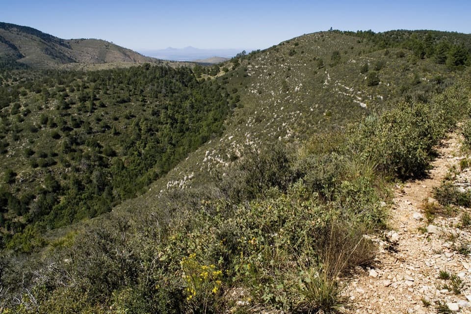 ChallengingMcKittrick Canyon to Dog Canyon15 mi · 10 hr · At the trailheadA canyon climb, a high ridge, and a finish in Dog Canyon.
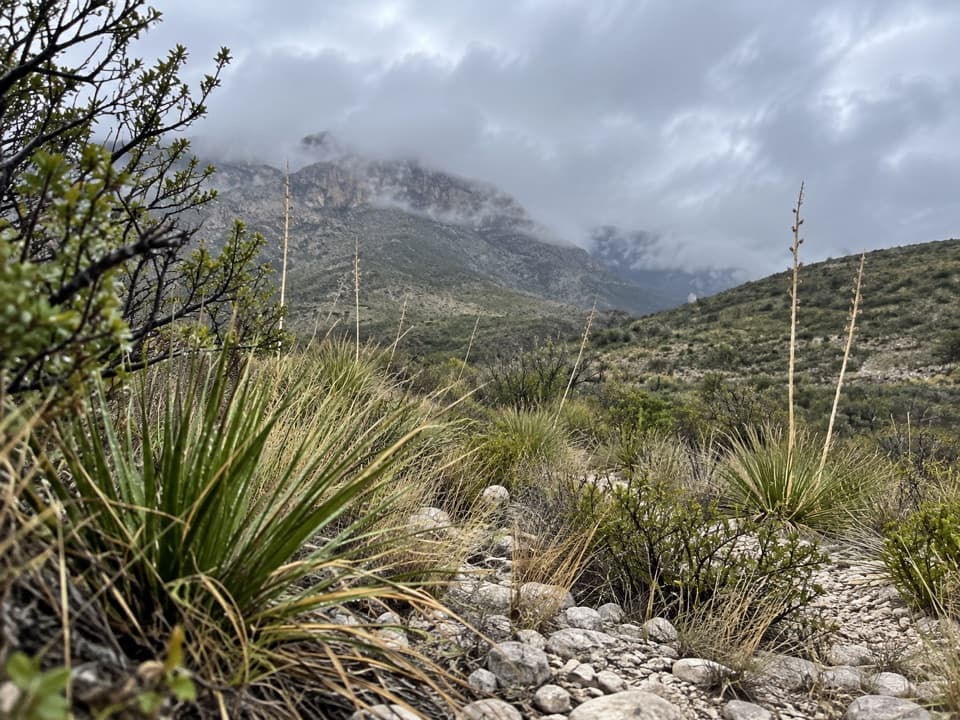 ModerateMcKittrick Canyon Nature Trail0.9 mi · 1 hr · At the trailheadA compact desert loop for geology, junipers and a canyon view.
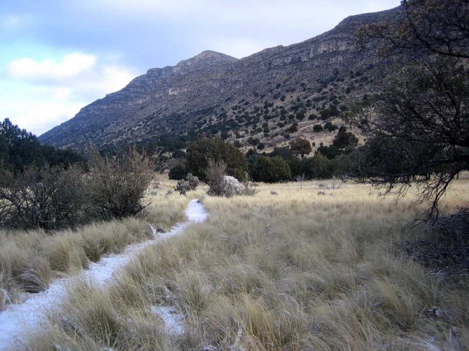 EasyIndian Meadow Nature Trail0.8 mi · 38 min · 4.9 mi awayA short nature loop through Dog Canyon's varied habitats.
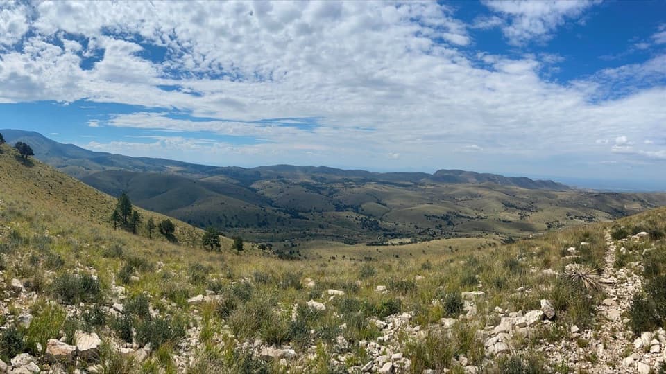 ModerateMarcus Overlook5.2 mi · 4 hr · 4.9 mi awayA rocky high-country hike to broad southern and western views.
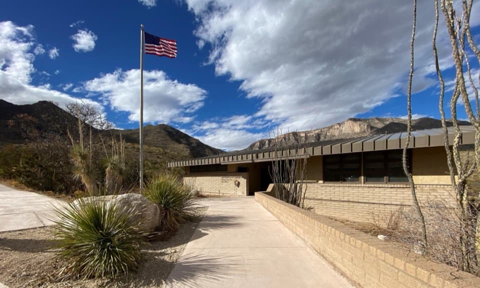 Visitor center · At the trailheadMcKittrick Canyon Contact StationA practical starting point for McKittrick Canyon’s trail.Sight · 1.7 mi awayPratt CabinA stone cabin built with limestone hauled by pickup and horse-drawn sled.
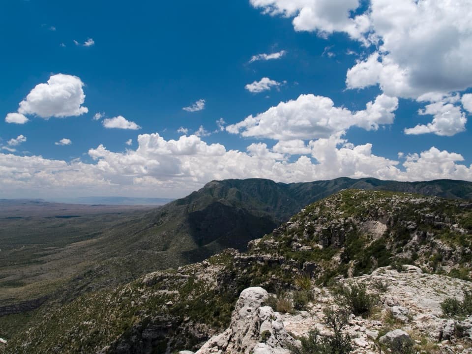 Campground · 1.8 mi awayWilderness Ridge Wilderness CampgroundA five-pad backcountry camp at the end of a 2,000-foot climb.Sight · 2.2 mi awayThe GrottoA shady cave-like picnic stop halfway up McKittrick Canyon.
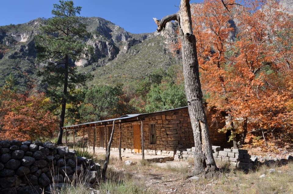 Sight · 2.2 mi awayHunter Line ShackA stone ranching shack at the end of a 7-mile round trip.Sight · 2.5 mi awayThe NotchA tough hike reaches the ridge's window into South McKittrick Canyon.
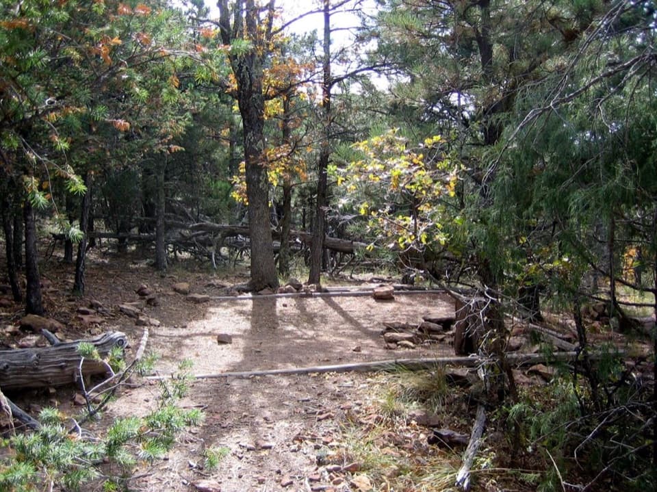 Campground · 3.3 mi awayMcKittrick Ridge Wilderness CampgroundEight remote tent sites on the ridge, reached by a steep backpack.
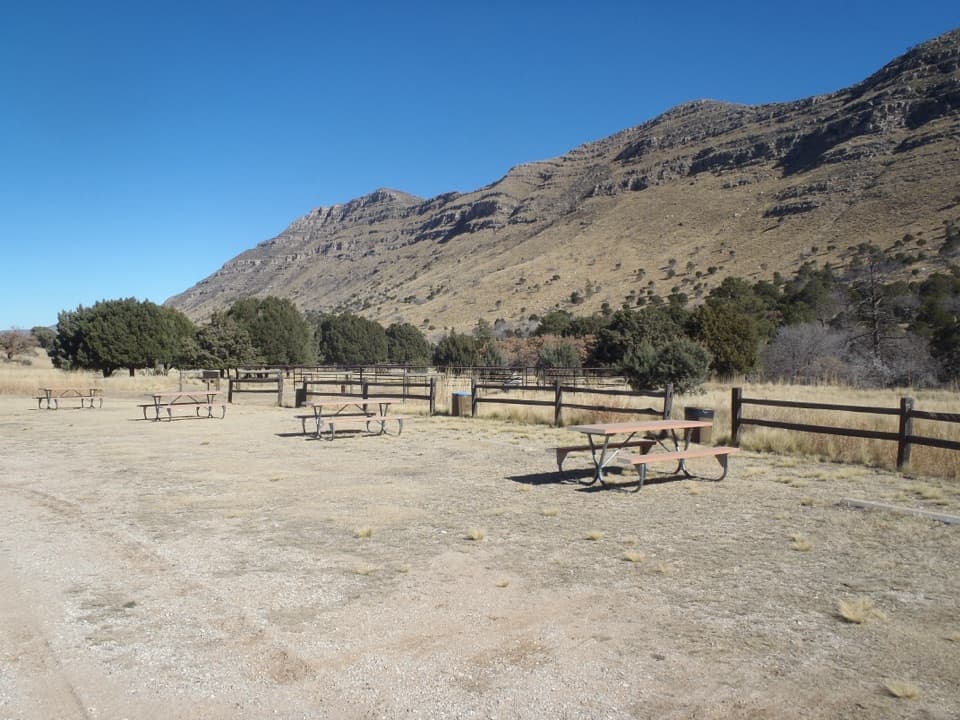 Campground · 4.9 mi awayDog Canyon CampgroundA quiet northern base for hikes into the park's high country.
Parkwolf’s Guadalupe Mountains ranking
The audio tour guide for the drive, plus offline maps, trails, and wildlife heatmaps for when the signal drops.



