Parking
Park at McKittrick Canyon Trailhead by the ranger station. Several hikes share this access; follow the signed Permian Reef branch to the right when leaving the station. Restrooms are at the trailhead.
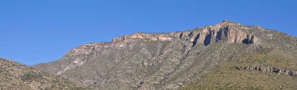
#7 of 32 trails in Guadalupe Mountains
Guadalupe Mountains National Park, TX
Fossil markers reward the steep climb to ridge and canyon views.
Overview
Map & elevation
Plan your hike

The highest, rockiest slopes around here are a summer buffet for grizzly bears.
Guadalupe Mountains Tour Guide
Parkwolf is a GPS audio tour guide for Guadalupe Mountains National Park. As you drive, it chimes in with what’s ahead: hidden gems, upcoming stops, history, geology, and wildlife, right through your car’s speakers.
Recorded for this trailhead
McKittrick Canyon: A Walk to Pratt Cabin“McKittrick Canyon's trailhead is coming up. I'd choose the walk to Pratt Cabin, a stone summer home with a porch for a break. It's four point eight miles round trip, taking two to four hours on rocky ground.”
Plays as you drive up to this trailhead in the Parkwolf Guadalupe Mountains Tour Guide.
More stories near here in the app
“Fantastic app with many points of information… It’s great to just turn on while you’re driving and it gives you an audio tour of the national Park. We love it!!!!”


Trail guide
Permian Reef Trail is a strenuous out-and-back from McKittrick Canyon Trailhead to the Texas–New Mexico boundary gate: 4.8 miles one way, 9.6 miles round trip. Allow five to seven hours. The route climbs from McKittrick Canyon to Wilderness Ridge, then follows a rockier, more wooded crest to the gate at the park boundary. There's a hard uphill, fossil stops and broad views into South McKittrick Canyon. I'd choose it if geology matters as much to you as a summit view. Expect about 2,000 feet of rise on the main climb, with extra ups and downs along the ridge; it's a full-day hike, not a quick canyon walk. A separate 0.3-mile Geology Loop near the start gives you a much shorter look at the rocks.
Several trails start at McKittrick Canyon Trailhead by the ranger station. Follow the Permian Reef sign to the right as you leave the station. The route briefly follows a gravel road and a wash before a narrow trail splits to the right; the low marker at that turn is easy to miss. Around 0.4 mile in, bear left at the signed junction to stay on the main trail. The optional Geology Loop branches and rejoins nearby. If you want help reading the numbered stops, the Texas Bureau of Economic Geology's trail guide is sold at Pine Springs Visitor Center, a separate stop before the drive to McKittrick Canyon.
The first stretch is rough and rocky, with cacti, a cliff face, a pillar-like outcrop and a small cleft in the rock. The climb eases in places but keeps gaining height. Canyon views gradually open as you rise. After a ridge crossing, look east; farther on, a notch in the rock frames a view back into McKittrick Canyon. Most of the ascent faces south and stays in the sun, so don't let the lower wash's shade fool you about the heat higher up.
The long climb gives way to a more level, rocky walk among trees and shrubs on Wilderness Ridge. It's still uneven, and the trail zigzags near the ridge edge. Several openings look down into South McKittrick Canyon, so pause at the successive viewpoints rather than expecting one single lookout. Numbered geology markers run up to 28 near the high country. Follow the main tread to the boundary gate. The trail continues into Lincoln National Forest beyond it, but that extension is outside this park route and isn't part of the 9.6-mile round trip here.
The pale cliff above the canyon is the Capitan Reef, a mass of Permian-age limestone built from marine life along the edge of an ancient sea about 299 to 252 million years ago. The trail's markers point out fossils and different rock deposits, making the long climb a geology lesson as well as a walk to the ridge. Look closely at the rock underfoot: the patterns are the remains of a reef, not random marks in ordinary limestone. The trail guide makes the numbered stops much easier to follow.
The National Park Service recommends winter, spring and fall for this exposed south-facing route. Carry enough food and water for a strenuous 9.6-mile day; no drinking-water source on the route was confirmed. McKittrick Canyon is day-use access, so plan to be back through the entrance gate before it closes. Overnight parking and camping at Wilderness Ridge require a Wilderness Use Permit. Pets aren't allowed on park trails except trained service animals.
Wildlife
 33 sightingsAoudadMost seen around 6 AMSighting map
 162 sightingsMule DeerMost seen around 6 AMSighting map
 11 sightingsWild TurkeyMost seen around 7 AMSighting map
 34 sightingsCollared PeccaryMost seen around 7 AMSighting map
 37 sightingsDiamondback RattlesnakeMost seen around 6 PMSighting map
 42 sightingsBlack-tailed RattlesnakeMost seen around 7 PMSighting map
Sighting maps show where each species has been reported across Guadalupe Mountains. Wildlife moves, so no sighting is guaranteed.
Keep exploring
 ModerateThe Grotto and Hunter Line Shack7 mi · 4 hr · At the trailheadA seven-mile canyon walk to shaded stone seats and ranch history.
 ChallengingMcKittrick Canyon Trail to The Notch9 mi · 6 hr · At the trailheadGentle canyon miles lead to a steep, rocky climb to the Notch.
 ChallengingMcKittrick Ridge Trail from McKittrick Canyon15.2 mi · 10 hr · At the trailheadFour canyon miles, a steep climb, and no water at camp.
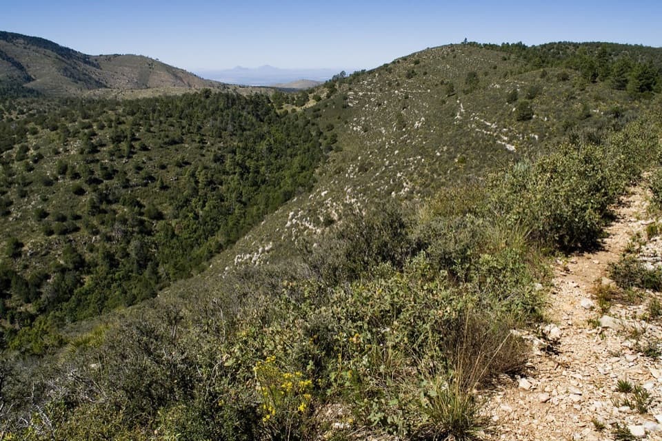 ChallengingMcKittrick Canyon to Dog Canyon15 mi · 10 hr · At the trailheadA canyon climb, a high ridge, and a finish in Dog Canyon.
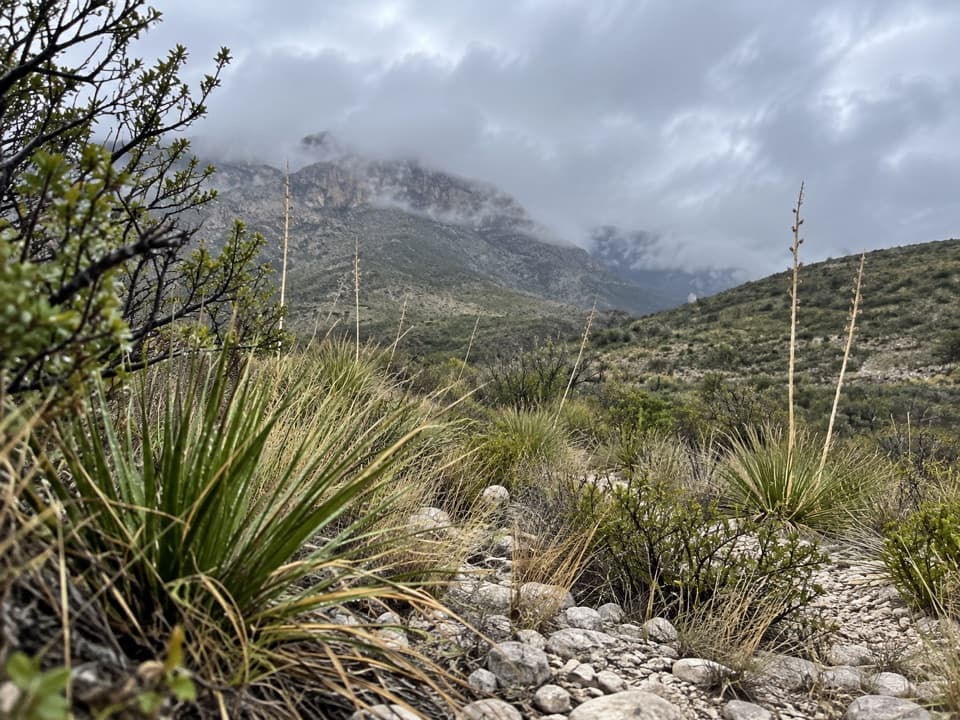 ModerateMcKittrick Canyon Nature Trail0.9 mi · 1 hr · At the trailheadA compact desert loop for geology, junipers and a canyon view.
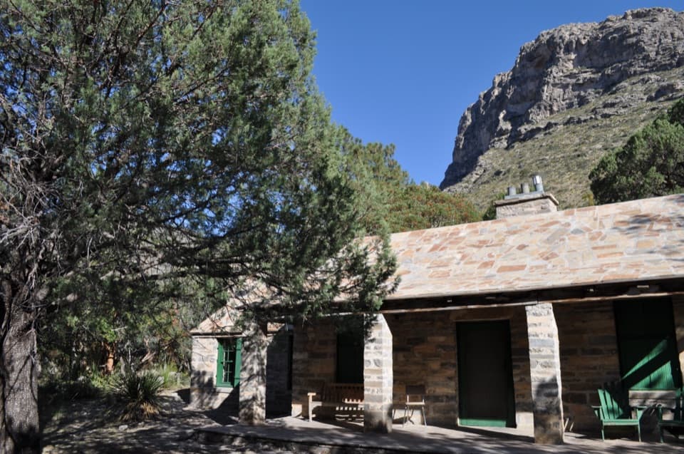 ModeratePratt Cabin Trail4.8 mi · 3 hr · At the trailheadA 4.8-mile canyon walk to a historic stone cabin
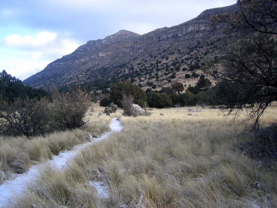 EasyIndian Meadow Nature Trail0.8 mi · 38 min · 4.9 mi awayA short nature loop through Dog Canyon's varied habitats.
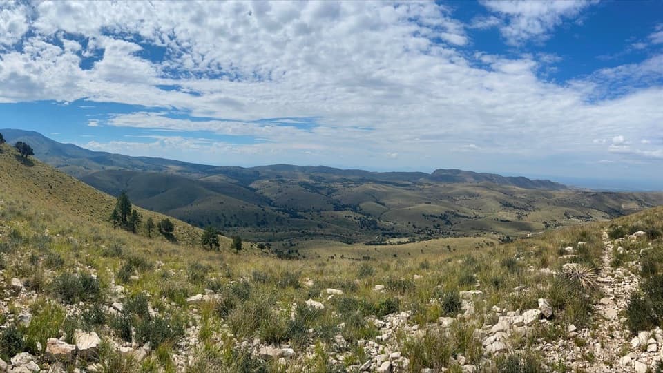 ModerateMarcus Overlook5.2 mi · 4 hr · 4.9 mi awayA rocky high-country hike to broad southern and western views.
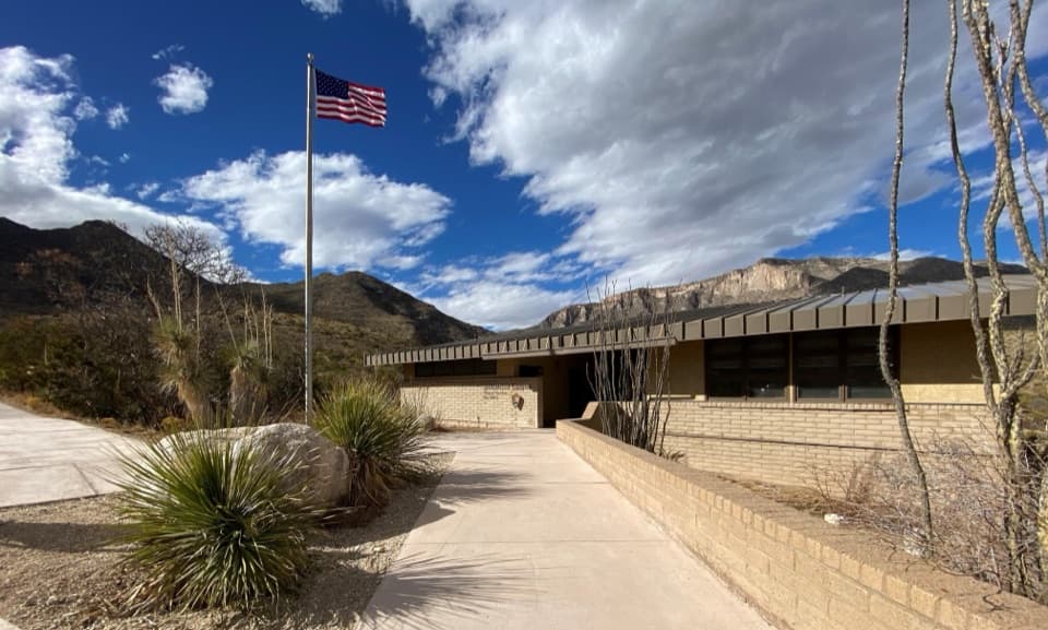 Visitor center · At the trailheadMcKittrick Canyon Contact StationA practical starting point for McKittrick Canyon’s trail.Sight · 1.7 mi awayPratt CabinA stone cabin built with limestone hauled by pickup and horse-drawn sled.
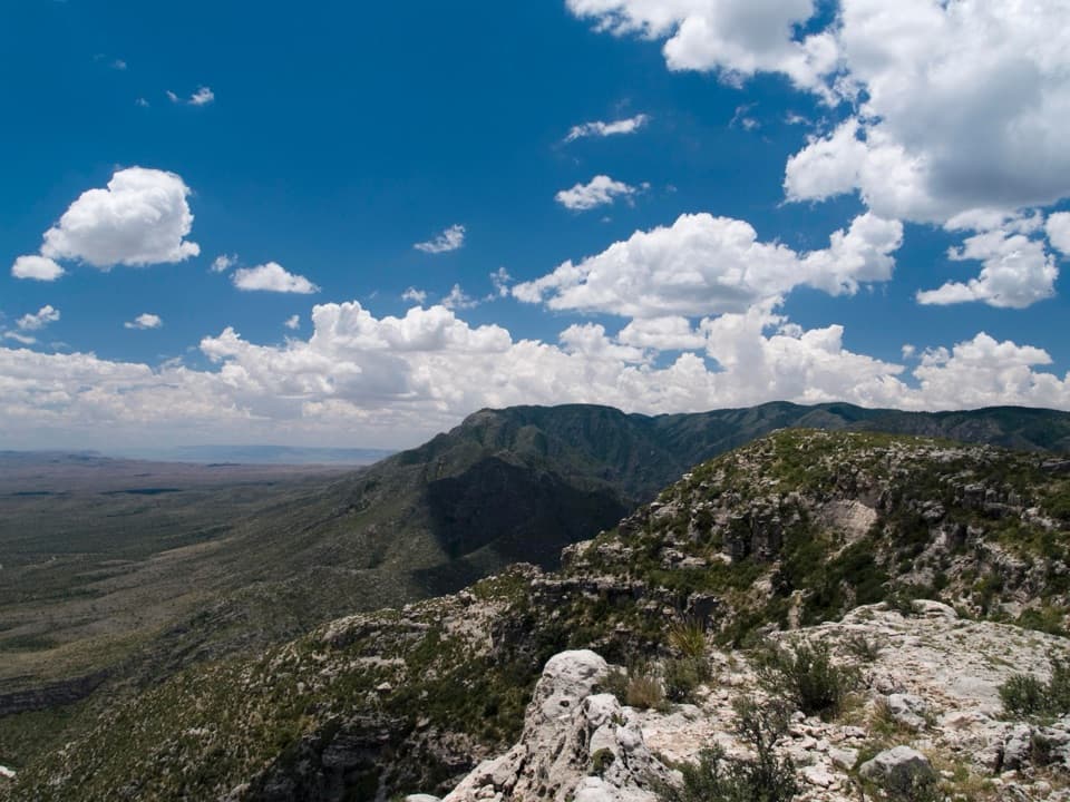 Campground · 1.8 mi awayWilderness Ridge Wilderness CampgroundA five-pad backcountry camp at the end of a 2,000-foot climb.Sight · 2.2 mi awayThe GrottoA shady cave-like picnic stop halfway up McKittrick Canyon.
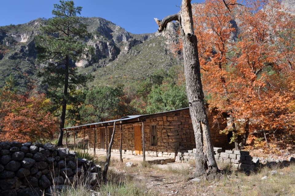 Sight · 2.2 mi awayHunter Line ShackA stone ranching shack at the end of a 7-mile round trip.Sight · 2.5 mi awayThe NotchA tough hike reaches the ridge's window into South McKittrick Canyon.
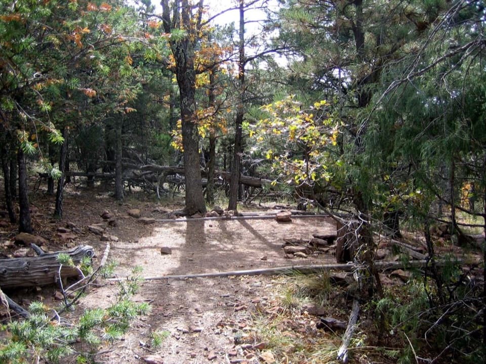 Campground · 3.3 mi awayMcKittrick Ridge Wilderness CampgroundEight remote tent sites on the ridge, reached by a steep backpack.
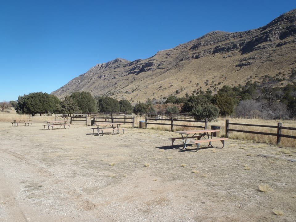 Campground · 4.9 mi awayDog Canyon CampgroundA quiet northern base for hikes into the park's high country.
Parkwolf’s Guadalupe Mountains ranking

The audio tour guide for the drive, plus offline maps, trails, and wildlife heatmaps for when the signal drops.



