Parking
Park in the Kalahaku Overlook parking area on the Summit Road. A vault or composting toilet is listed at the site.
Haleakalā National Park, HI
A short crater-rim walk to a historic shelter and huge views.
Overview
Map & elevation
Plan your hike

The highest, rockiest slopes around here are a summer buffet for grizzly bears.
Haleakalā Tour Guide
Parkwolf is a GPS audio tour guide for Haleakalā National Park. As you drive, it chimes in with what’s ahead: hidden gems, upcoming stops, history, geology, and wildlife, right through your car’s speakers.
Recorded for this trailhead
Kalahaku Overlook“You're approaching Kalahaku Overlook, a good second crater stop if you'd like another angle on the cinder cones without a long walk.”
Plays as you drive up to this trailhead in the Parkwolf Haleakalā Tour Guide.
More stories near here in the app
“Fantastic app with many points of information… It’s great to just turn on while you’re driving and it gives you an audio tour of the national Park. We love it!!!!”


Trail guide
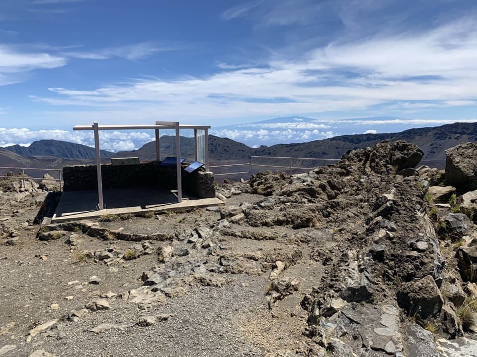
Kalahaku Overlook Trail is a brief out-and-back from the Summit Road parking area to a shelter on the edge of Haleakalā's crater. The mapped path is about 0.05 mile each way, so allow around 20 to 30 minutes for the walk back and a good look around. The park calls it a 0.1-mile walk but doesn't say whether that's one way or round-trip; this entry uses 0.1 mile for the direct walk out and back. A longer 0.2-mile circuit is listed elsewhere, but its extra route isn't confirmed by the park and isn't part of this record. If you are going before dawn, entry to the Summit District from 3 to 7 a.m. requires a sunrise reservation.
From the shelter, look across the crater floor toward its cinder cones and the Koʻolau and Kaupō gaps. The park identifies 14 puʻu, or hills, in this broad view. For a photo, include one of the smaller cones with the rim so the foreground gives the crater some scale.
The overlook has served visitors for more than a century. Architect Charles W. Dickey designed the original Craigielea rest house in 1894. It was replaced in 1914 and rebuilt again in 1957; the current shelter is in the Mission 66 style used for many mid-century National Park Service buildings.
The overlook is above 9,000 feet, and the short path still climbs about 23 feet. If elevation is already affecting you, this is an easy one to skip. ʻUaʻu (Hawaiian dark-rumped petrels) nest in the area, so keep to designated walking paths. Dogs aren't allowed on trails in the park. An older description reports several mortared lava-rock stair sets; today's route surface and step-free access aren't confirmed.
Wildlife
 442 sightingsHawaiian GooseMost seen around 7 AMSighting map
 28 sightingsHawaiian Short-eared OwlMost seen around 6 AMSighting map
 22 sightingsGreen Sea TurtleMost seen around 11 AMSighting map
 645 sightingsʻIʻiwiMost seen around 8 AMSighting map
 360 sightingsʻApapaneMost seen around 9 AMSighting map
 207 sightingsHawaiʻi ʻAmakihiMost seen around 7 AMSighting map
Sighting maps show where each species has been reported across Haleakalā. Wildlife moves, so no sighting is guaranteed.
Keep exploring
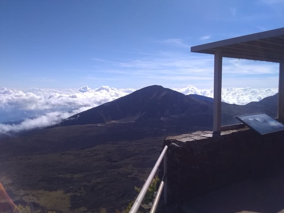 EasyLeleiwi Overlook Trail0.3 mi · 30 min · 0.6 mi awayA short uphill walk to one of Haleakalā’s crater views.
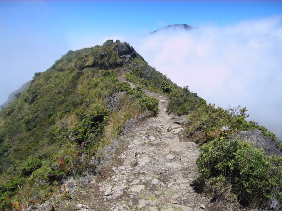 ModerateHalemauʻu Trail2.7 mi · 2.5 hr · 1.2 mi awayA short trail to a natural bridge at the crater rim.
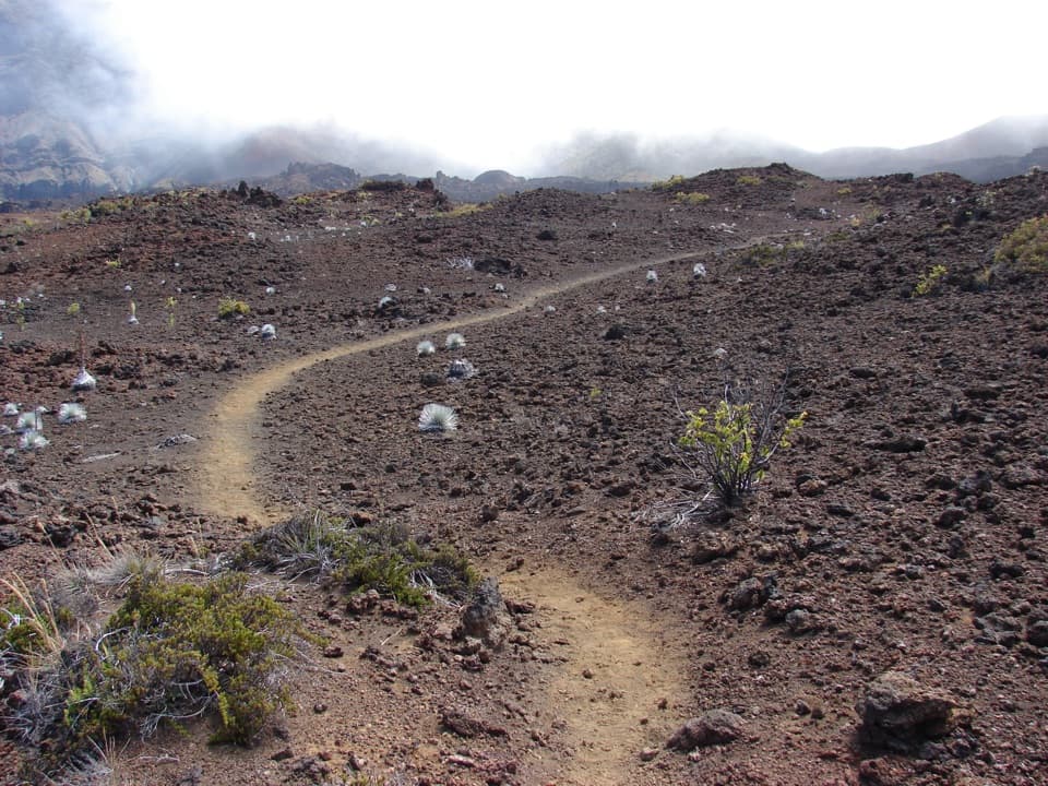 ChallengingSilversword Loop via Halemauʻu Trail10 mi · 8 hr · 1.2 mi awayA long crater descent to the silversword loop.
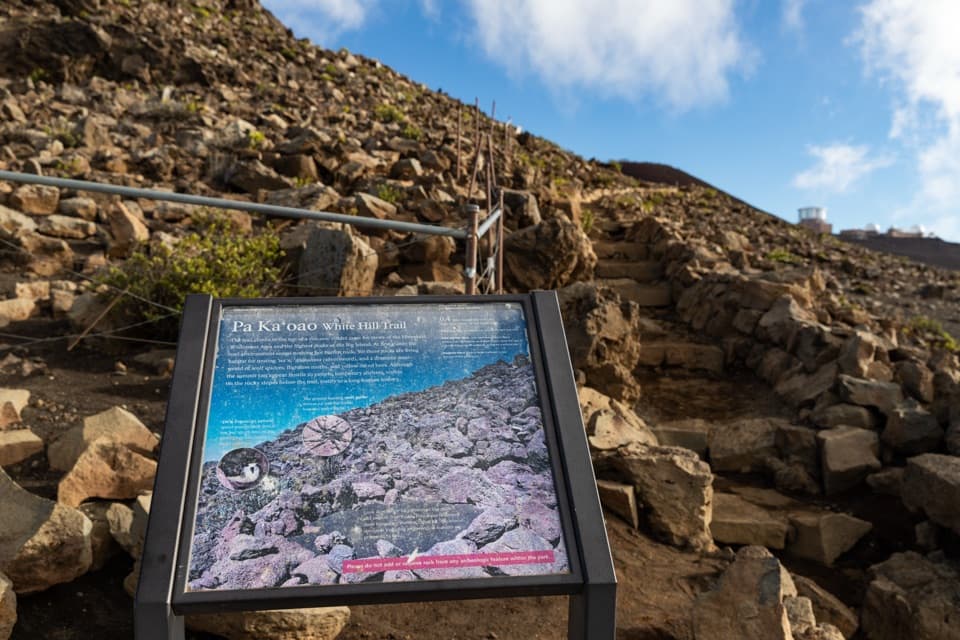 EasyPā Kaʻoao Trail0.4 mi · 36 min · 1.8 mi awayShort climb, crater views, and a hillside of old stone enclosures.
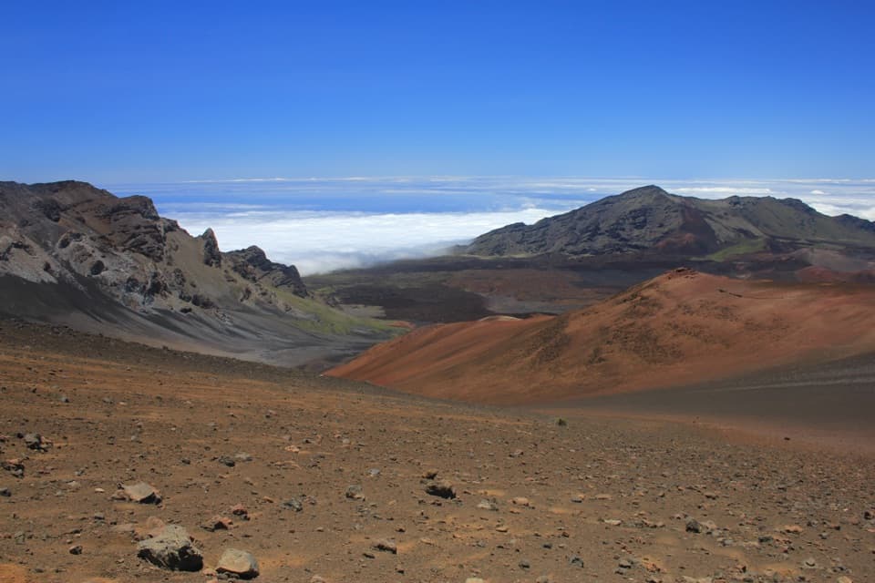 ChallengingKeoneheʻeheʻe (Sliding Sands) Trail7.8 mi · 8 hr · 1.9 mi awayDescend into the crater; save some strength for the climb out.
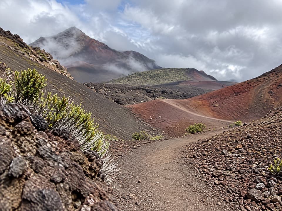 ChallengingHalāliʻi and Puʻunaue Trail12.6 mi · 8.5 hr · 1.9 mi awayCircle two vivid cinder cones, then climb back to the rim.
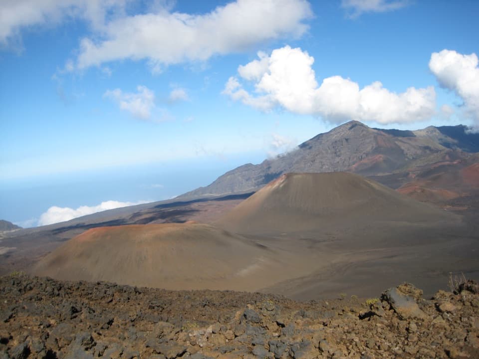 ChallengingKeoneheʻeheʻe to Halemauʻu Trail11 mi · 7 hr · 1.9 mi awayAn 11-mile crater crossing ends with a steep climb out.
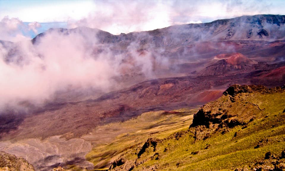 EasyRed Hill Overlook Summit Trail0.2 mi · 15 min · 2.2 mi awayA few minutes reaches Maui's 10,023-foot summit viewpoint.
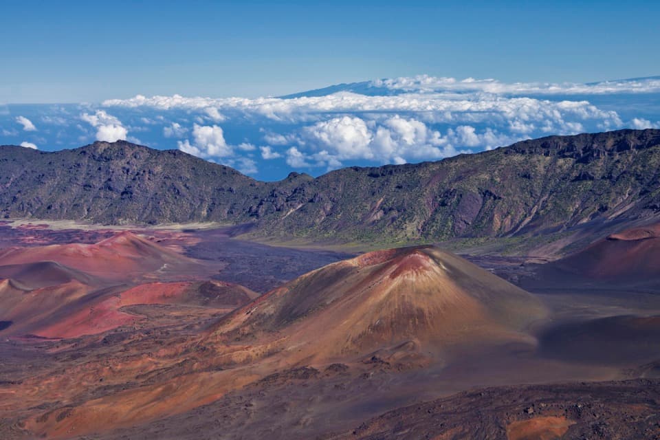 Sight · 0.1 mi awayKalahaku OverlookA short walk to another angle on the crater and its cones.Sight · 0.7 mi awayLeleiwi OverlookA short, rocky climb to the crater’s north-shore gaps.
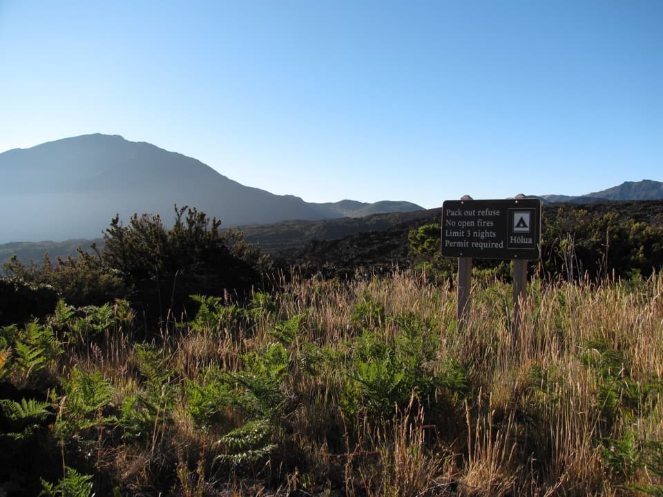 Campground · 1.1 mi awayHōlua Wilderness CampgroundQuiet crater camping, reached by trail; the sandy hike out takes longer.
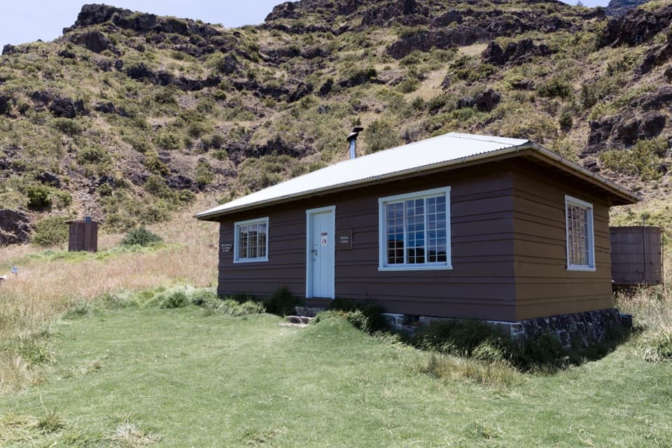 Lodging · 1.1 mi awayHōlua CabinA historic crater cabin for a demanding overnight hike.
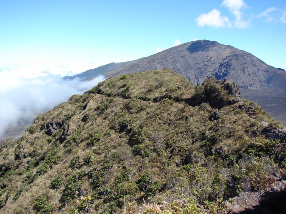 Sight · 1.7 mi awayRainbow BridgeA natural bridge between Koʻolau Gap and the crater floor
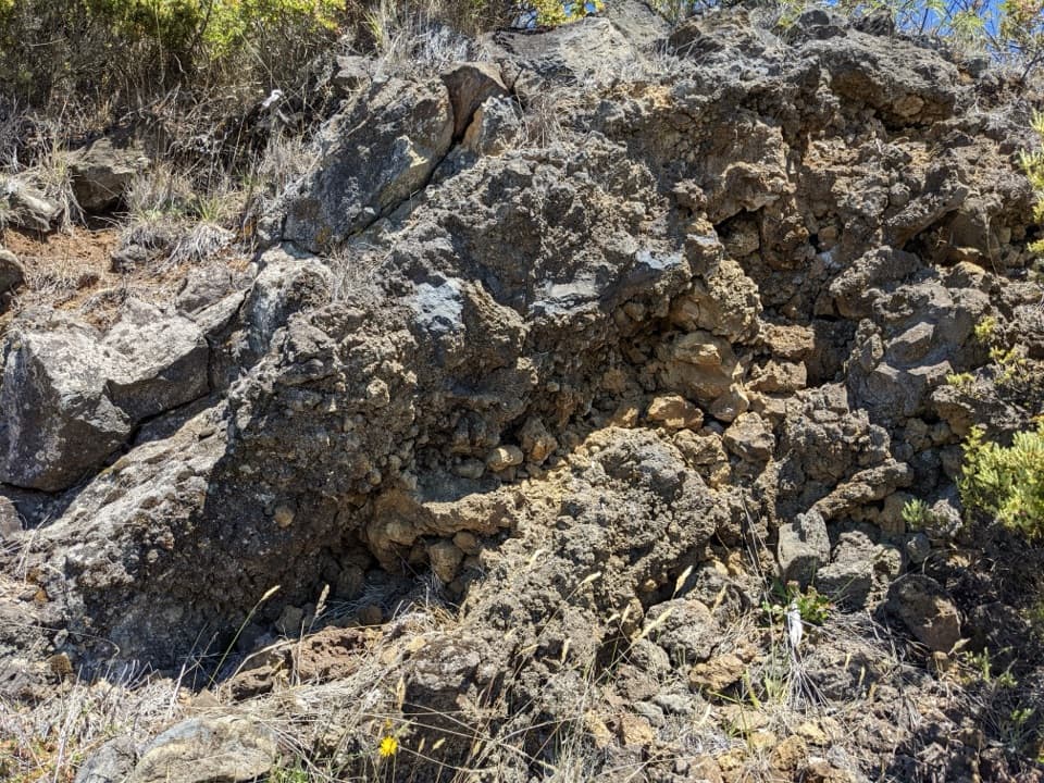 Scenic pullout · 1.8 mi awayHeadquarters Pull-OffA roadcut lets you read ʻāʻā lava from rough edges inward.
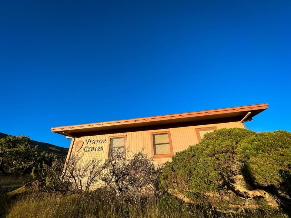 Visitor center · 1.8 mi awayHeadquarters Visitor CenterA useful first stop for trail advice and East Maui’s geology.
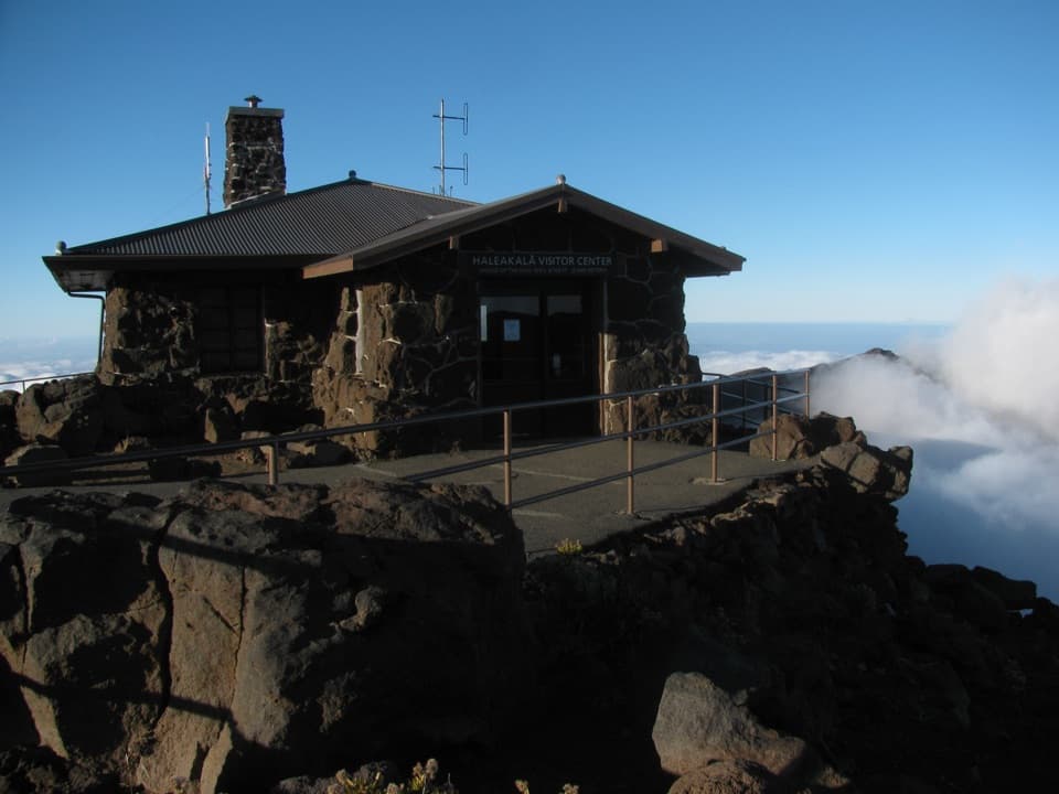 Visitor center · 1.8 mi awayHaleakalā Visitor CenterSee the summit depression from its high, railed edge.
Parkwolf’s Haleakalā ranking

The audio tour guide for the drive, plus offline maps, trails, and wildlife heatmaps for when the signal drops.