Rainbow Bridge in Haleakalā National Park

#10 of 19 sights in Haleakalā

Sight · Haleakalā National Park

Rainbow Bridge

A natural bridge between Koʻolau Gap and the crater floor

Photo: Wikimedia Commons
Type
Sight
Nearest trail
0.8 mi
Audio stories
18 nearby
  • Scenic viewpoint

Hear the audio tour

Halemauʻu Trail and Rainbow Bridge

Overview

About Rainbow Bridge

Why stop

  • A rare ridge view split between Koʻolau Gap and the crater floor

Heads up

  • The narrow, steep approach and uphill return make this a hike, not an easy pullout
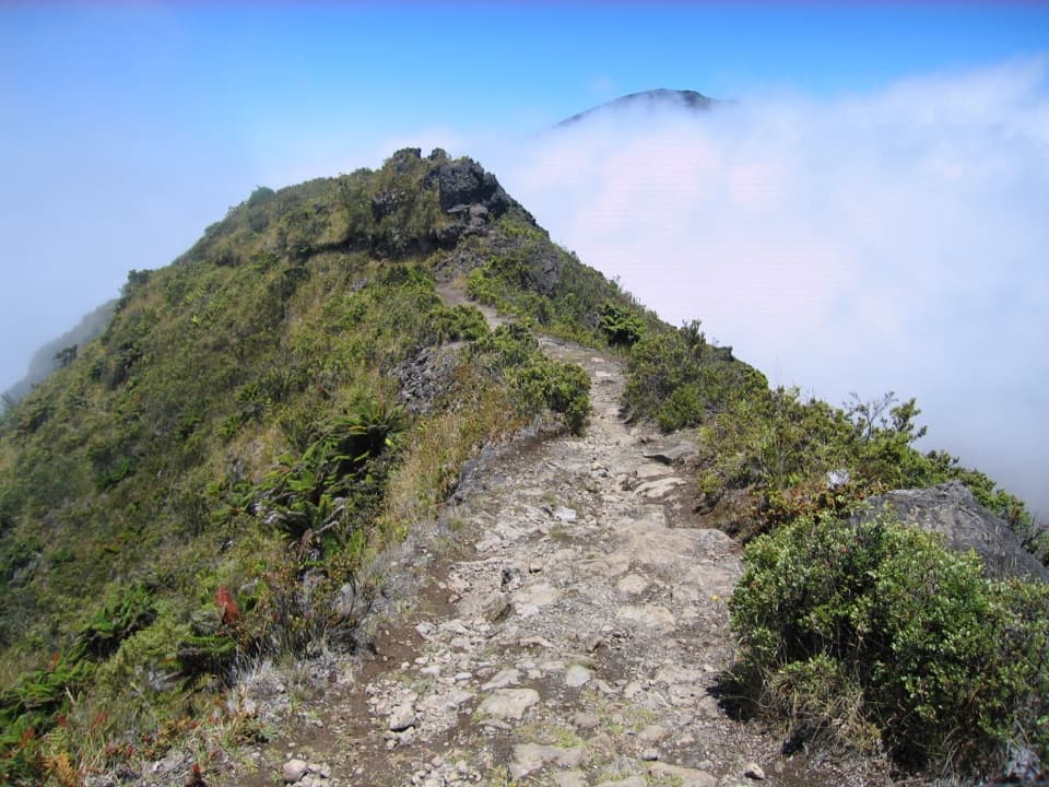
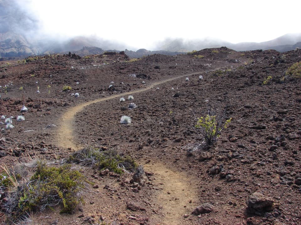
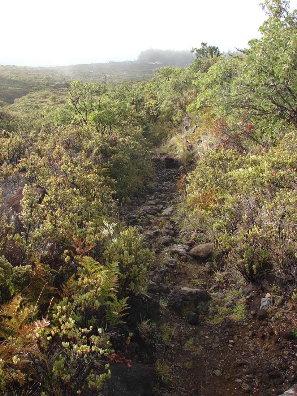
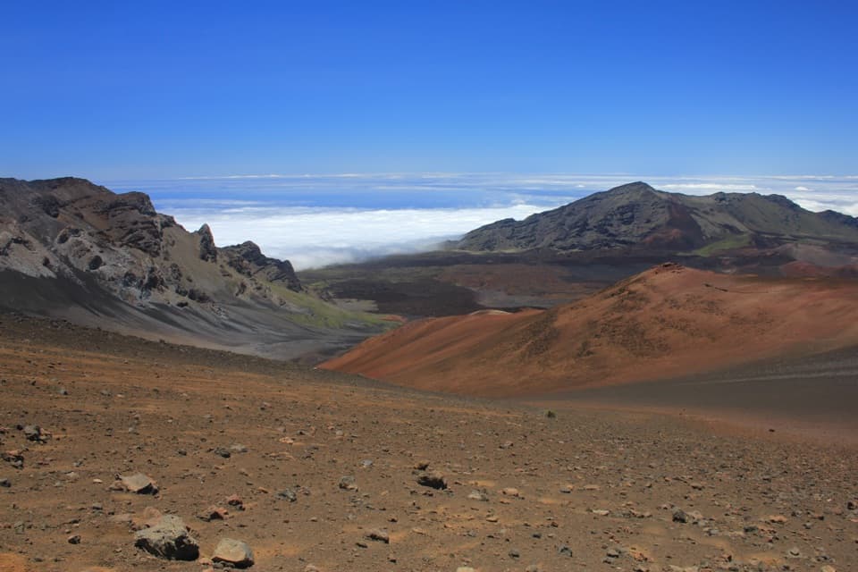
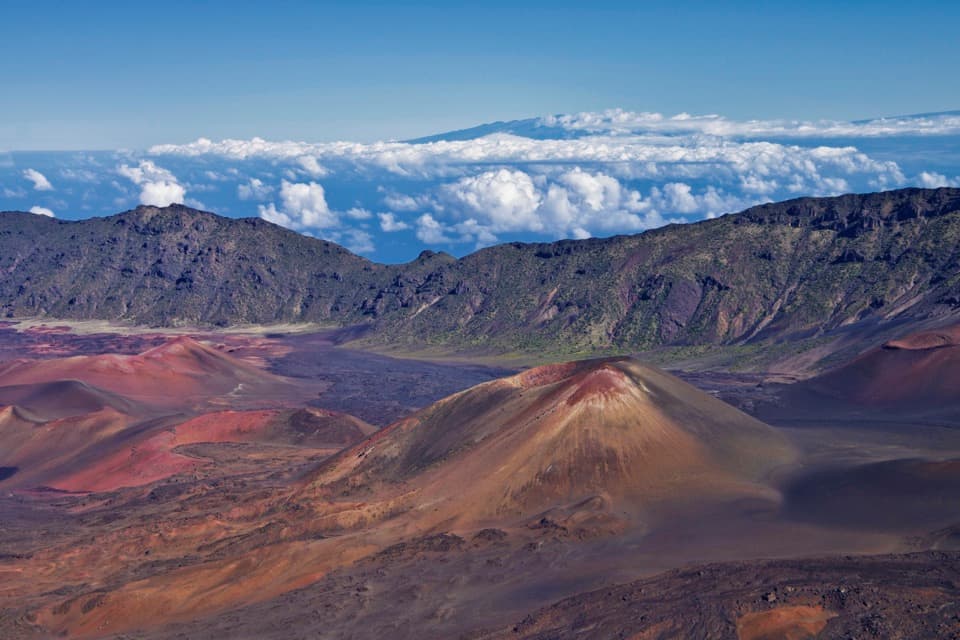
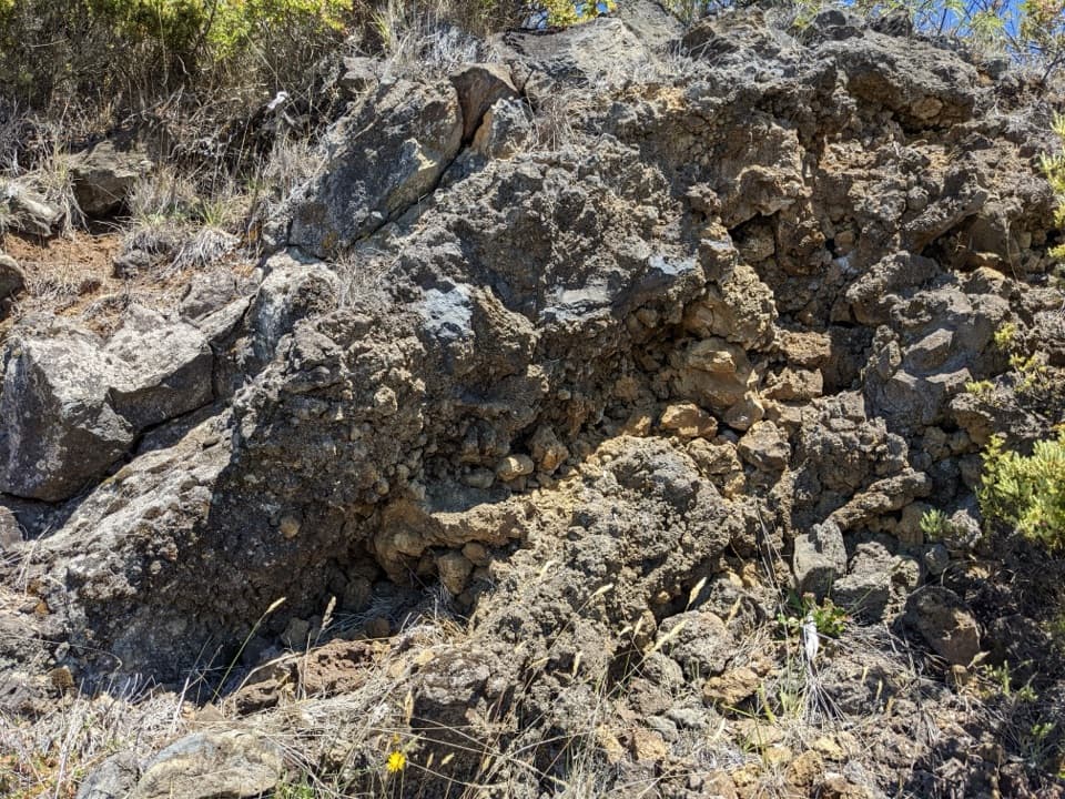
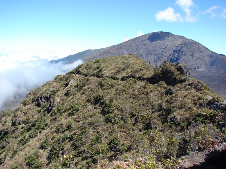
Rainbow Bridge is a natural land bridge: a narrow rocky ridge on Halemauʻu Trail above the descent into Haleakalā’s crater. The view opens toward Koʻolau Gap on one side and the crater floor on the other. It’s worth a stop if you’re already hiking Halemauʻu, not a drive-up overlook. The access is rocky, narrow and steep, and the return climbs; allow more time for the uphill leg. Published directions disagree on the distance to the bridge, so check a current trail map instead of planning around a precise out-and-back mileage.
Parkwolf’s verdictWorth stopping for

Map

Where it is

Loading the Haleakalā map
Full map
SightRainbow Bridge20.75550, -156.21720
Keep this map with you offline in the Parkwolf app

Plan your stop

Before you go

2 active Haleakalā alerts

  • ClosureSwimming prohibited at ʻOheʻo PoolsDo not enter or swim in the Pools of ʻOheʻo in the Kīpahulu District. - Entry is prohibited because of a number of safety concerns; view the pools safely from the Kūloa Point Trail instead.Official details
  • CautionCrater Road lane closures near Haleakalā National ParkExpect single-lane closures on Crater Road (Route 378) from Monday, October 12, through Friday, October 16.Official details

Haleakalā alerts
A park ranger sits on a dash-mounted phone, talking, as Parkwolf’s Tour Guide plays “Army Cutworm Moths: A Grizzly Bear Buffet” on Grand Loop Road below Dunraven Pass in Yellowstone
Parkwolf Tour GuideThe highest, rockiest slopes around here are a summer buffet for grizzly bears.

Haleakalā Tour Guide

Your drive to Rainbow Bridge, narrated.

Parkwolf is a GPS audio tour guide for Haleakalā National Park. As you drive, it chimes in with what’s ahead: hidden gems, upcoming stops, history, geology, and wildlife, right through your car’s speakers.

Recorded for this place

Halemauʻu Trail and Rainbow Bridge
0:00 / 0:23
“Halemauʻu Trailhead is coming up, with a hike to Rainbow Bridge that takes about two to three hours round trip. The bridge is a narrow natural ridge with Koʻolau Gap on one side and the crater floor on the other.”

Plays as you drive up to Rainbow Bridge in the Parkwolf Haleakalā Tour Guide.

More stories near here in the app

  • Why a Forest Needs a Fence
  • Fish That Climb Waterfalls
  • Leleiwi Overlook
  • Why Clouds Stop Climbing
  • 25 audio storiesacross Haleakalā’s roads, triggered by GPS as you drive
  • Wildlife heatmapsfor Hawaiian Goose, Hawaiian Short-eared Owl, Green Sea Turtle, and 12 more
  • Works offlinemaps, 17 trails, 32 places, and audio download before you lose signal
  • CarPlay readysimple controls built for the drive
★★★★★
“Fantastic app with many points of information… It’s great to just turn on while you’re driving and it gives you an audio tour of the national Park. We love it!!!!”
JMJamesApp Store review
Download Parkwolf on the App StoreGet Parkwolf on Google Play

4.7 from 8,600+ ratings

Guide

More about Rainbow Bridge

Read the ridgeKoʻolau Gap lies to the left of the trail, with the crater floor to the right.

Koʻolau Gap lies to the left of the trail, with the crater floor to the right. Take a moment to look both ways. For a photo, leave some of the narrow path and ridge in the foreground so the land bridge reads clearly. Clouds can hide the crater, so the full panorama depends on visibility.

A CCC-era trailThe bridge is natural, but the Civilian Conservation Corps improved it.

The bridge is natural, but the Civilian Conservation Corps improved it. The Corps ran work camps at Haleakalā from 1934 to 1941 and built Halemauʻu Trail; mules helped haul lumber and gravel into the crater. That history gives this short ridge stop a connection to the much longer trail network.

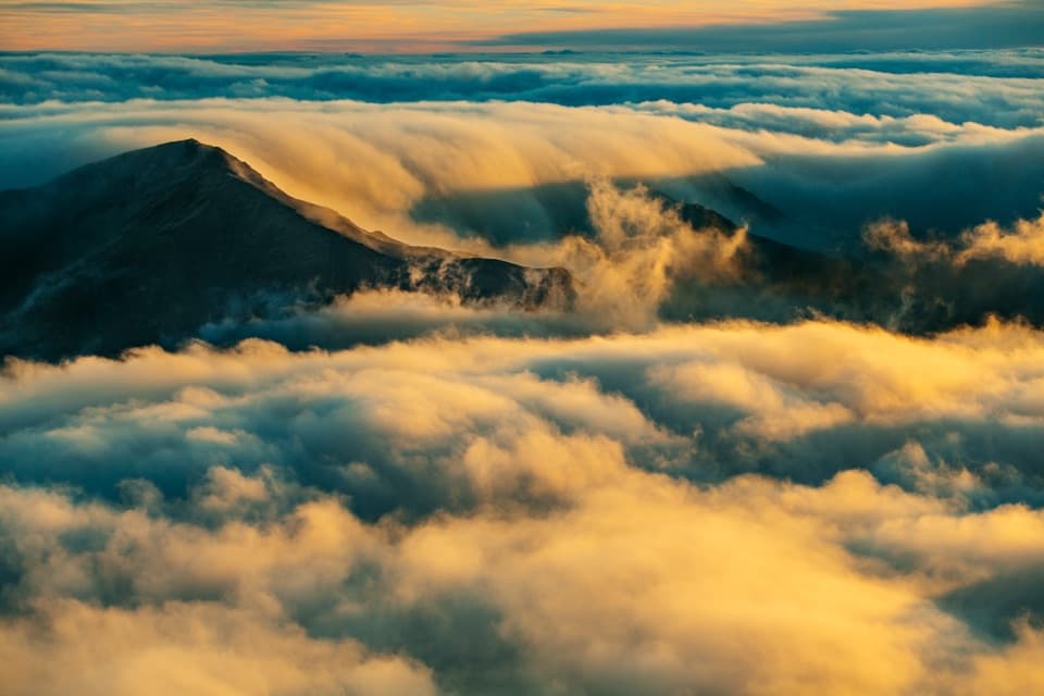
Worth stopping forHigh-altitude weather changes quickly: cold, wind, rain and strong sun are all possible.

High-altitude weather changes quickly: cold, wind, rain and strong sun are all possible. Bring layers, water and sun protection, stay on the marked trail, and leave pets behind. There is no food, supplies or gas in the park.

Wildlife

Wildlife in Haleakalā

All Haleakalā wildlife maps

Sighting maps show where each species has been reported across Haleakalā. Wildlife moves, so no sighting is guaranteed.

Keep exploring

Near Rainbow Bridge

See it all on the map

Trails nearby

More stops nearby

Parkwolf’s Haleakalā ranking

Top sights in Haleakalā

All 32 places
  1. 1Puʻuʻulaʻula SummitSight
  2. 2Waimoku FallsSight
  3. 3Pools of ʻOheʻoSight
  4. 4Kalahaku OverlookSight
  5. 5Leleiwi OverlookSight
  6. 6Pīpīwai Bamboo ForestSight

Take Parkwolf to Haleakalā.

The audio tour guide for the drive, plus offline maps, trails, and wildlife heatmaps for when the signal drops.

4.7 from 8,600+ ratings

Download Parkwolf on the App StoreGet Parkwolf on Google Play