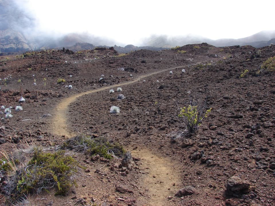
Parking
Use the Puʻuʻulaʻula summit parking area on Haleakalā Summit Road; the short paved walk starts from its parking loop.
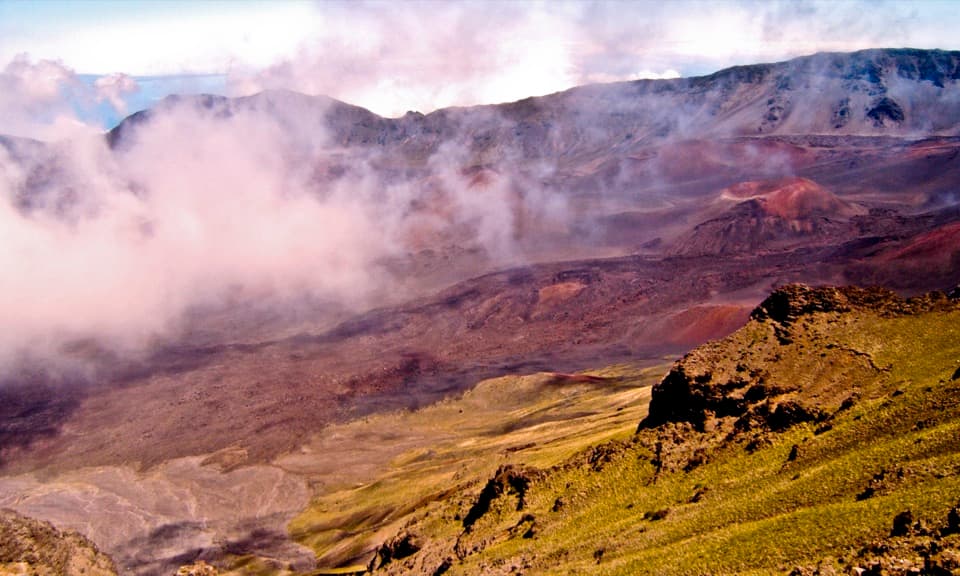
Haleakalā National Park, HI
A few minutes reaches Maui's 10,023-foot summit viewpoint.
Overview
Map & elevation
Plan your hike

The highest, rockiest slopes around here are a summer buffet for grizzly bears.
Haleakalā Tour Guide
Parkwolf is a GPS audio tour guide for Haleakalā National Park. As you drive, it chimes in with what’s ahead: hidden gems, upcoming stops, history, geology, and wildlife, right through your car’s speakers.
Recorded for this trailhead
Puʻuʻulaʻula Summit“You're approaching Puʻuʻulaʻula, Maui's highest point at ten thousand and twenty-three feet. Keep this stop if you want the island's high point without a summit hike.”
Plays as you drive up to this trailhead in the Parkwolf Haleakalā Tour Guide.
More stories near here in the app
“Fantastic app with many points of information… It’s great to just turn on while you’re driving and it gives you an audio tour of the national Park. We love it!!!!”


Trail guide
Red Hill Overlook Summit Trail is the short public walk from the Puʻuʻulaʻula summit lot to the summit shelter. The mapped path-and-stairs corridor is about 0.12 mile one way, so the out-and-back is about 0.24 mile. Allow 15 to 20 minutes if you want time at the viewpoint. Route descriptions disagree: one gives a 0.2-mile out-and-back and another a 0.3-mile loop. This record follows the visible public access route to the shelter and back, not a crater hike.
From the parking loop, an asphalt path curves around the summit area to concrete stairs with handrails up to the shelter. A steep ramp also reaches the building and may require assistance. The mapped line follows the paved approach and stairs; the ramp is an alternate access. Keep to the public summit paths.
Puʻuʻulaʻula is Haleakalā and Maui’s high point at 10,023 feet. From the shelter, look across the crater’s red cinder cones; on clear days Mauna Loa and Mauna Kea can rise above the clouds to the southeast. For a photo, include some of the cinder ridge in the foreground so the crater has scale. Clouds can hide the distant peaks.
The route is short, but at more than 10,000 feet the thin air can still make people feel unwell. Wind, rain and cold can arrive quickly at the summit, and the steps are steep. Dogs are allowed on paved paths and in parking areas, but not on trails or inside park buildings; this route stays on paved access surfaces. A vehicle reservation is required for park entry from 3 to 7 a.m. for sunrise. There is no food for sale in the park; drinking water is available at visitor centers below the summit.
Wildlife
 442 sightingsHawaiian GooseMost seen around 7 AMSighting map
 28 sightingsHawaiian Short-eared OwlMost seen around 6 AMSighting map
 22 sightingsGreen Sea TurtleMost seen around 11 AMSighting map
 645 sightingsʻIʻiwiMost seen around 8 AMSighting map
 360 sightingsʻApapaneMost seen around 9 AMSighting map
 207 sightingsHawaiʻi ʻAmakihiMost seen around 7 AMSighting map
Sighting maps show where each species has been reported across Haleakalā. Wildlife moves, so no sighting is guaranteed.
Keep exploring
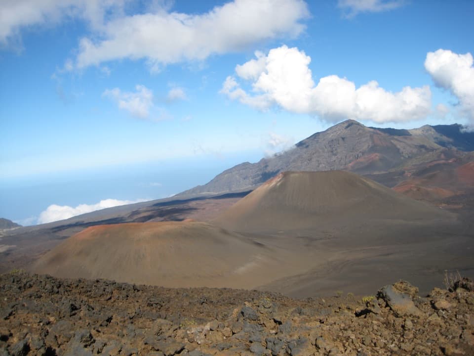 ChallengingKeoneheʻeheʻe to Halemauʻu Trail11 mi · 7 hr · 0.3 mi awayAn 11-mile crater crossing ends with a steep climb out.
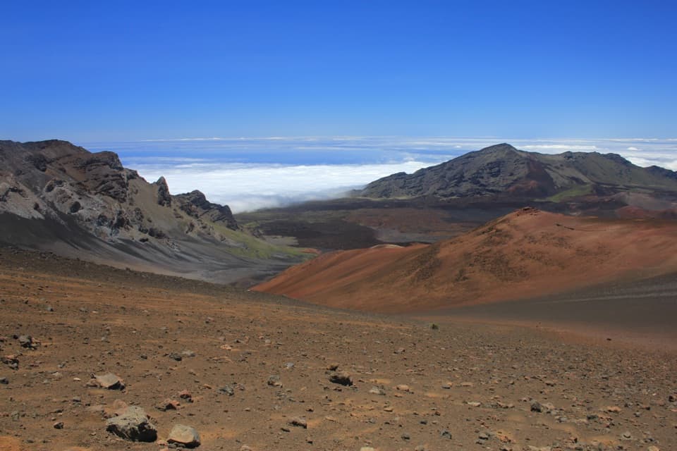 ChallengingKeoneheʻeheʻe (Sliding Sands) Trail7.8 mi · 8 hr · 0.3 mi awayDescend into the crater; save some strength for the climb out.
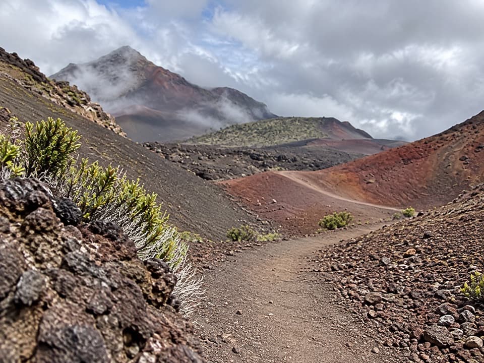 ChallengingHalāliʻi and Puʻunaue Trail12.6 mi · 8.5 hr · 0.3 mi awayCircle two vivid cinder cones, then climb back to the rim.
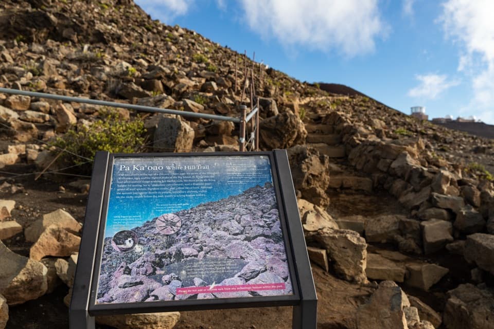 EasyPā Kaʻoao Trail0.4 mi · 36 min · 0.4 mi awayShort climb, crater views, and a hillside of old stone enclosures.
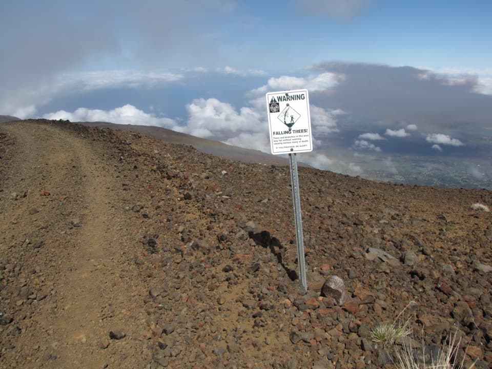 ChallengingSkyline Trail6.7 mi · 4.5 hr · 0.6 mi awayA high-altitude traverse across Haleakalā’s volcanic rift
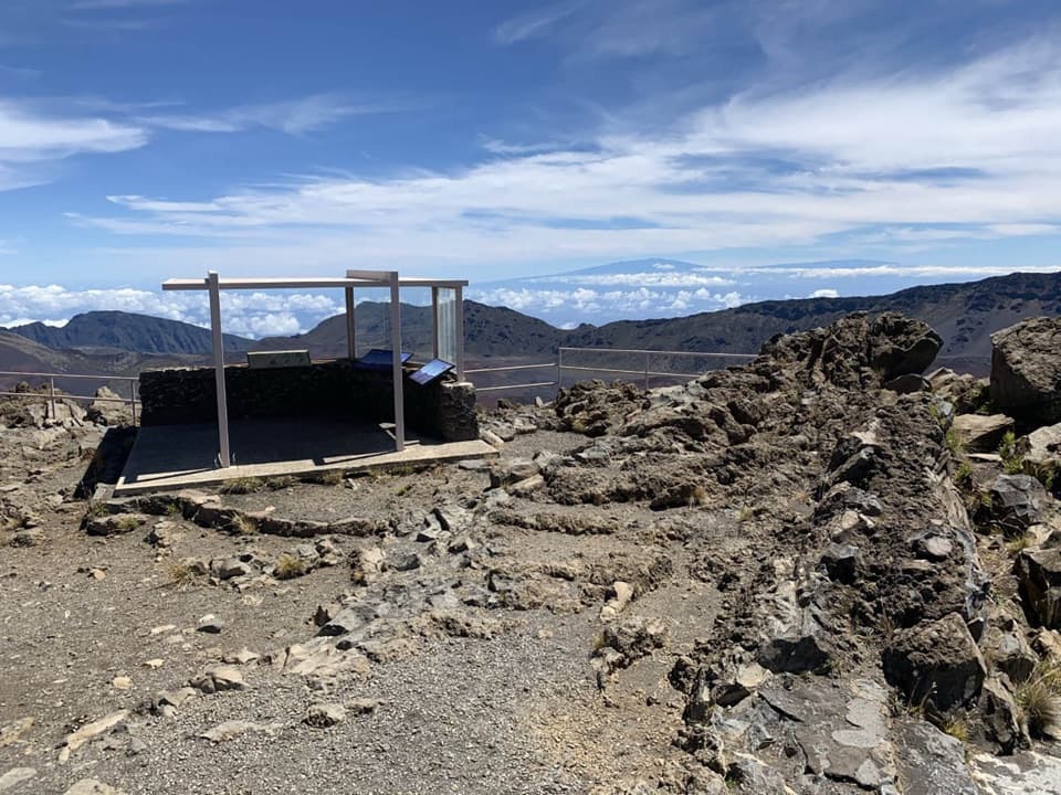 EasyKalahaku Overlook Trail0.1 mi · 30 min · 2.2 mi awayA short crater-rim walk to a historic shelter and huge views.
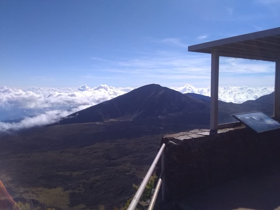 EasyLeleiwi Overlook Trail0.3 mi · 30 min · 2.8 mi awayA short uphill walk to one of Haleakalā’s crater views.
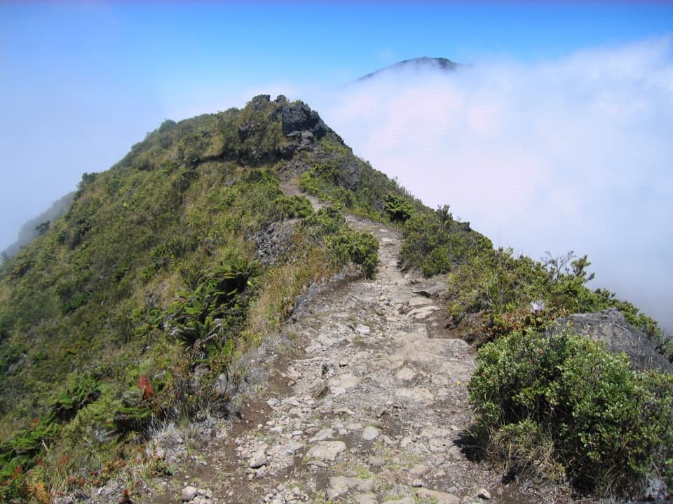 ModerateHalemauʻu Trail2.7 mi · 2.5 hr · 3.3 mi awayA short trail to a natural bridge at the crater rim.
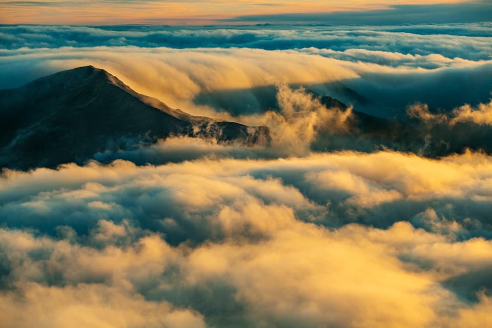 Sight · At the trailheadPuʻuʻulaʻula SummitA drive-up 10,023-foot view, if the clouds cooperate.
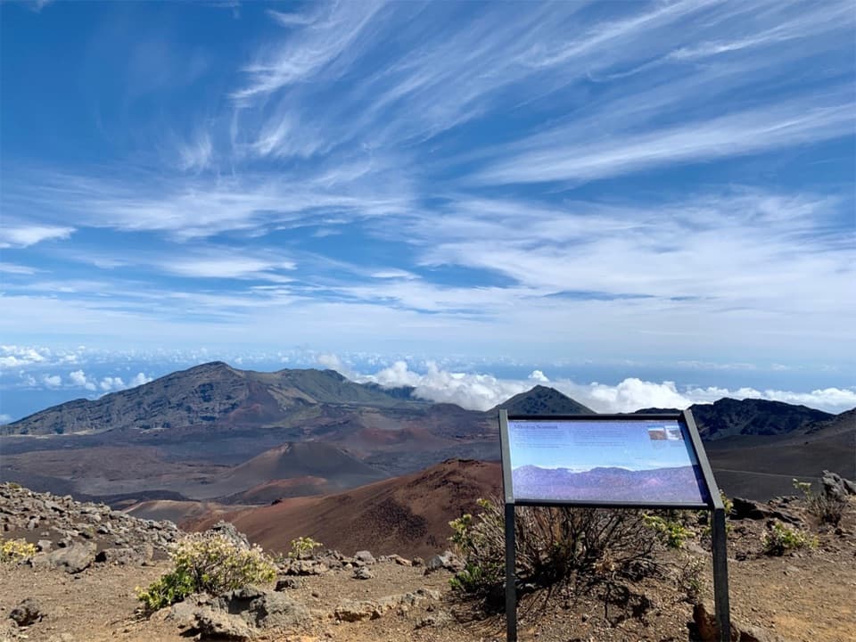 Sight · 0.3 mi awayKeoneheʻeheʻe OverlookA half-mile walk reaches a signed wayside above Haleakalā’s crater.
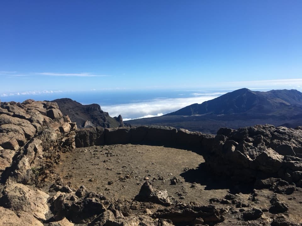 Sight · 0.3 mi awayPā Kaʻoao OverlookA short climb earns a closer look into the summit valley.
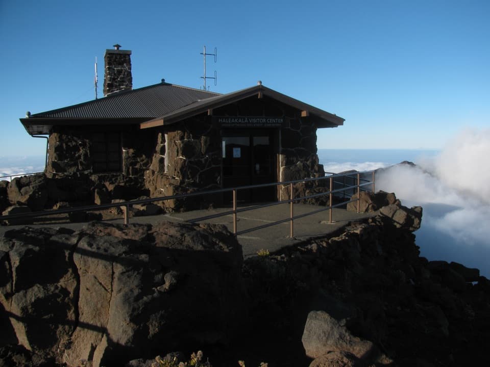 Visitor center · 0.4 mi awayHaleakalā Visitor CenterSee the summit depression from its high, railed edge.
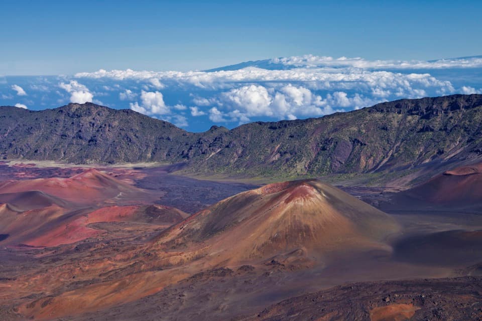 Sight · 2.2 mi awayKalahaku OverlookA short walk to another angle on the crater and its cones.Sight · 2.9 mi awayLeleiwi OverlookA short, rocky climb to the crater’s north-shore gaps.
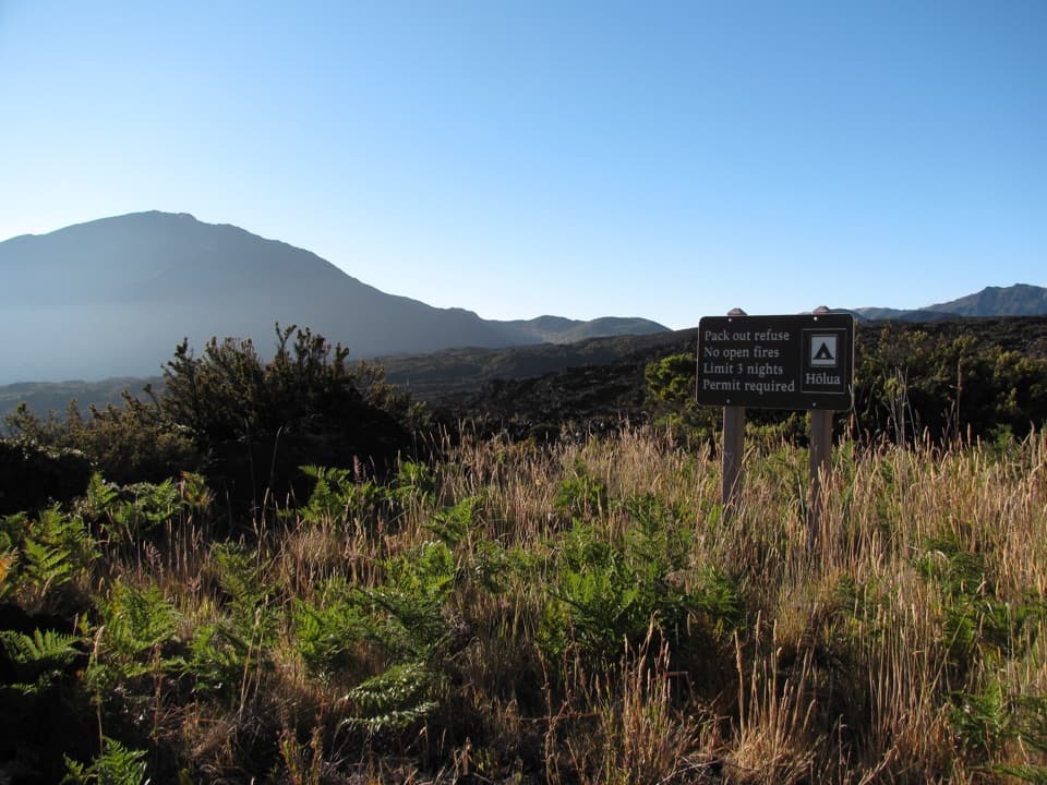 Campground · 3 mi awayHōlua Wilderness CampgroundQuiet crater camping, reached by trail; the sandy hike out takes longer.
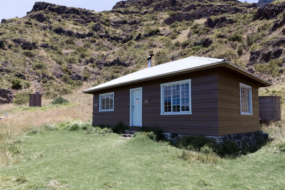 Lodging · 3.2 mi awayHōlua CabinA historic crater cabin for a demanding overnight hike.
Parkwolf’s Haleakalā ranking

The audio tour guide for the drive, plus offline maps, trails, and wildlife heatmaps for when the signal drops.